Mirehouse

Settlement in Cumberland Copeland

England

Mirehouse

Benchmark, Scalegill, Railway Bridge Detail of the Ordnance Survey flush bracket benchmark on the railway bridge which carries the A595 road over the former Mirehouse Junction to Moor Row railway near Scalegill.  The benchmark marks a height of 66.6317m above mean sea level (Ordnance Datum Newlyn) last levelled in 1961 and verified in 1965 (location photograph <a href="https://www.geograph.org.uk/photo/7145255">NX9914 : Railway bridge parapet, Scalegill</a>).
Benchmark, Scalegill, Railway Bridge Credit: Adrian Taylor

Mirehouse is a historic country house located in the picturesque Lake District region of Cumberland, England. Situated on the eastern shores of Bassenthwaite Lake, it offers breathtaking views of the surrounding countryside and enjoys a tranquil setting amidst beautifully landscaped gardens and woodlands.

Built in the 17th century, Mirehouse has been the ancestral home of the Spedding family for over 350 years. The house itself is a fine example of Georgian architecture, with its distinctive white façade and elegant proportions. Its interior is adorned with antique furniture, artwork, and an extensive collection of books, reflecting the family's literary and cultural interests.

One of the main draws of Mirehouse is its stunning gardens. Spread over four acres, they feature a variety of plants, including vibrant flowers, rare trees, and a charming walled garden. Visitors can meander through the well-maintained pathways, enjoying the peaceful ambiance and taking in the scents and colors of the flora.

Additionally, Mirehouse is renowned for its literary connections. The famous poet William Wordsworth was a close friend of the Spedding family and often visited the house, finding inspiration in its natural surroundings. The gardens also inspired the poet Samuel Taylor Coleridge, who composed some of his most famous works during his stay at Mirehouse.

Today, Mirehouse welcomes visitors to explore the house, gardens, and the surrounding woodland trails. It offers guided tours, hosts cultural events, and provides a delightful café where visitors can enjoy refreshments while taking in the breathtaking views. Mirehouse is a truly enchanting destination, offering a glimpse into the rich history and natural beauty of the Lake District.

If you have any feedback on the listing, please let us know in the comments section below.

Mirehouse Images

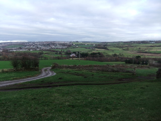
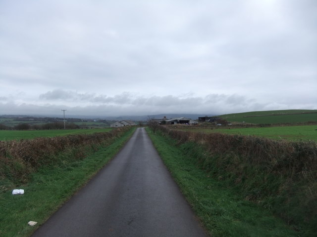
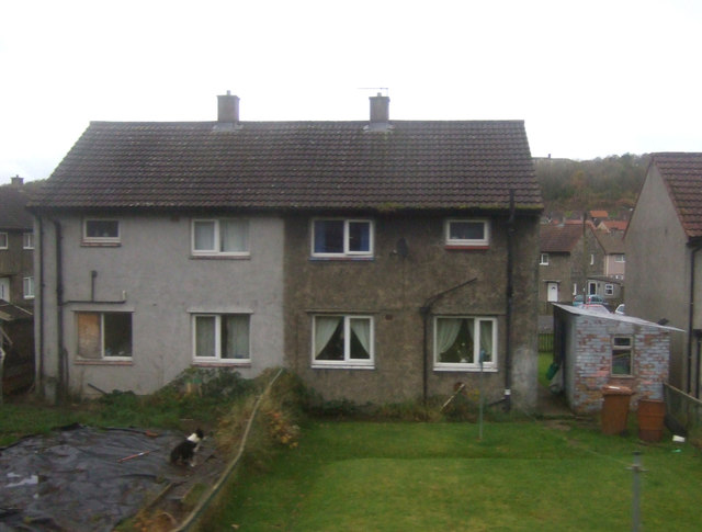
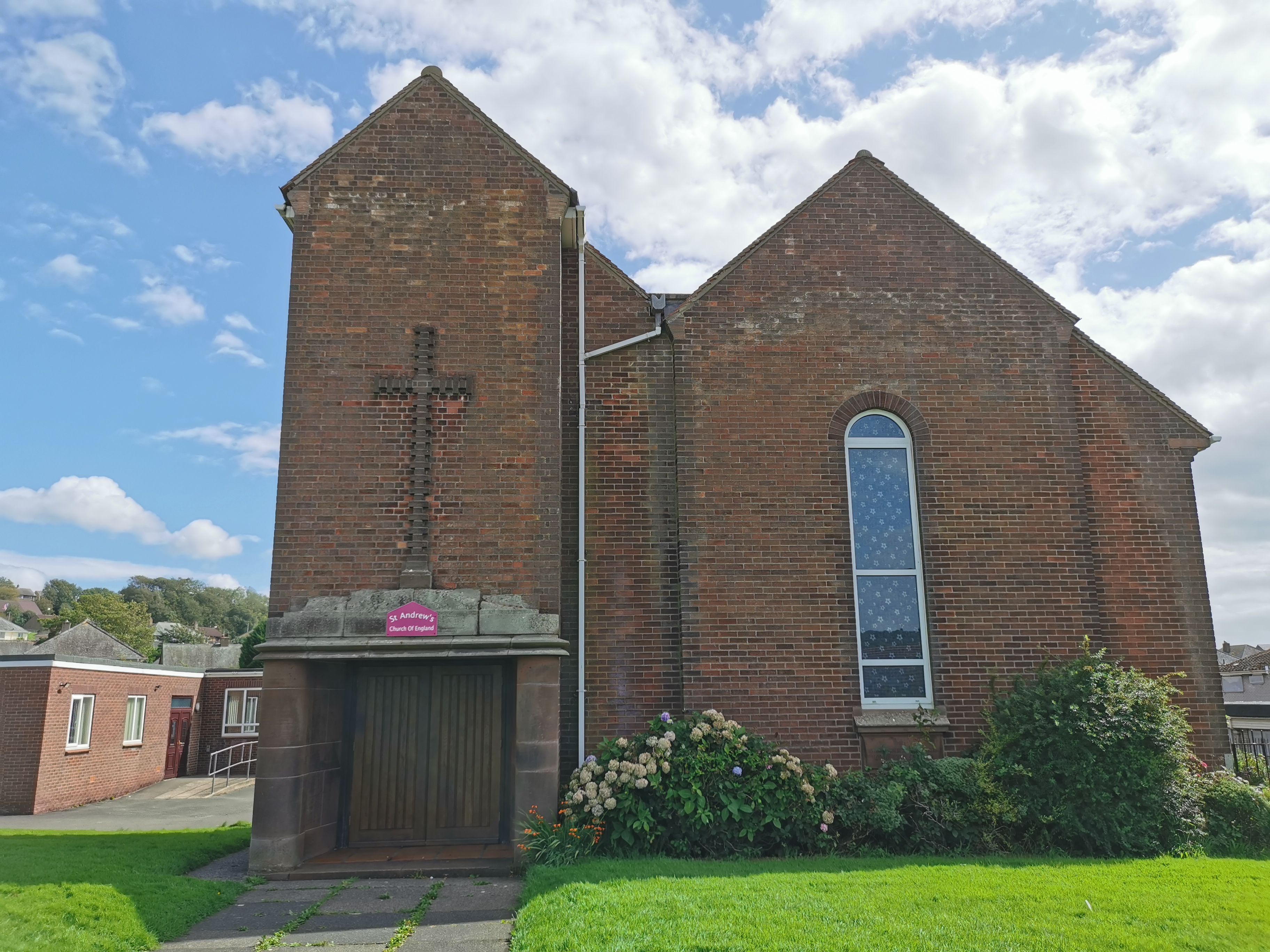
Images are sourced within 2km of 54.524599/-3.569791 or Grid Reference NX9815. Thanks to Geograph Open Source API. All images are credited.

Benchmark, Scalegill, Railway Bridge Detail of the Ordnance Survey flush bracket benchmark on the railway bridge which carries the A595 road over the former Mirehouse Junction to Moor Row railway near Scalegill.  The benchmark marks a height of 66.6317m above mean sea level (Ordnance Datum Newlyn) last levelled in 1961 and verified in 1965 (location photograph <a href="https://www.geograph.org.uk/photo/7145255">NX9914 : Railway bridge parapet, Scalegill</a>).
Benchmark, Scalegill, Railway Bridge
Detail of the Ordnance Survey flush bracket benchmark on the railway bridge which carries the A595 road over the former Mirehouse Junction to Moor Row railway near Scalegill. The benchmark marks a height of 66.6317m above mean sea level (Ordnance Datum Newlyn) last levelled in 1961 and verified in 1965 (location photograph NX9914 : Railway bridge parapet, Scalegill).
Railway bridge parapet, Scalegill The bridge near Scalegill carries the A595 road over the former Mirehouse Junction to Moor Row railway, now a part of the Coast to Coast Path.
There is an Ordnance Survey flush bracket benchmark on the face of the parapet wall (photograph <a href="https://www.geograph.org.uk/photo/7145198">NX9914 : Benchmark, Scalegill, Railway Bridge</a>), below and to the right of the engineer’s painted reference number.
Railway bridge parapet, Scalegill
The bridge near Scalegill carries the A595 road over the former Mirehouse Junction to Moor Row railway, now a part of the Coast to Coast Path. There is an Ordnance Survey flush bracket benchmark on the face of the parapet wall (photograph NX9914 : Benchmark, Scalegill, Railway Bridge), below and to the right of the engineer’s painted reference number.
Demolished houses, Windermere Road
Building site off High Road
Building site from Windermere Road
Demolished works site, High Road
Low Hall Farm, Whitehaven
A building on High Road This is one of only a few buildings left on what was a large industrial site.
A building on High Road
This is one of only a few buildings left on what was a large industrial site.
The entrance to Wilson Pit Yard
Houses on Byerstead Road
St John's church, Hensingham
High Road near Lanehead Whitehaven
St Bees Head from the air Westlakes Science and Technology Park is in the foreground, Whitehaven is on the right.
St Bees Head from the air
Westlakes Science and Technology Park is in the foreground, Whitehaven is on the right.
Trig pillar on Stanley Hill
View from Stanley Hill
Coast to Coast at Bell House
Houses on Wasdale Close
Show me another place!

Mirehouse is located at Grid Ref: NX9815 (Lat: 54.524599, Lng: -3.569791)

Administrative County: Cumbria

District: Copeland

Police Authority: Cumbria

What 3 Words

///promotes.snug.handy. Near Whitehaven, Cumbria

Nearby Locations

Mirehouse East Mirehouse

Related Wikis

West Cumberland Hospital

West Cumberland Hospital is a hospital in Hensingham, a suburb of Whitehaven in Cumbria, England, and was the first district general hospital to be built...

Mirehouse, Copeland

Mirehouse is an area and ward in the English county of Cumbria and within the boundaries of the historic county of Cumberland. Mirehouse is 1.5 miles...

Hensingham

Hensingham is a suburb of Whitehaven and former civil parish, now in the parish of Whitehaven, in the Cumberland district, in the ceremonial county of...

Corkickle

Corkickle is a suburb of Whitehaven in Cumbria, England. It is served by Corkickle railway station. == References ==

Nearby Amenities

Located within 500m of 54.524599,-3.569791
Mini Roundabout
Lat/Long: 54.5231436/-3.5763892
Bench
Lat/Long: 54.5217179/-3.5661989
Tomlin Avenue at Pillar Road
Local Ref: AT
Naptan AtcoCode: 090050300024
Naptan Bearing: E
Naptan BusStopType: CUS
Naptan CommonName: Tomlin Avenue at Pillar Road
Naptan Indicator: at
Naptan Landmark: junction of Pillar Road
Naptan NaptanCode: cumawjda
Naptan Street: Tomlin Avenue
Naptan Verified: no
Source: naptan_import
Lat/Long: 54.5288493/-3.5721023
Bus Stop
Shops (S bound)
Bus: yes
Local Ref: AT
Naptan AtcoCode: 090050300025
Naptan Bearing: S
Naptan CommonName: Shops (S bound)
Naptan Indicator: at
Naptan Landmark: Ocean Treasures Chinese Take away
Naptan NaptanCode: cumawjdg
Naptan Street: Meadow Road
Naptan Verified: no
Public Transport: platform
Source: naptan_import
Lat/Long: 54.5257923/-3.5714903
Bus Stop
Shops (N bound)
Bus: yes
Naptan AtcoCode: 090050300177
Naptan Bearing: N
Naptan CommonName: Shops (N bound)
Naptan Indicator: opp
Naptan Landmark: Library
Naptan NaptanCode: cumawmat
Naptan Street: Meadow Road
Naptan Verified: no
Public Transport: platform
Source: naptan_import
Lat/Long: 54.5254858/-3.5715558
Dent Road at Bowfell Road
Naptan AtcoCode: 090050301333
Naptan Bearing: W
Naptan BusStopType: CUS
Naptan CommonName: Dent Road at Bowfell Road
Naptan Indicator: near
Naptan Landmark: junction with Bowfell Road
Naptan NaptanCode: cumawmda
Naptan Street: Dent Road
Naptan Verified: no
Source: naptan_import
Lat/Long: 54.5232538/-3.5697086
Bus Stop
Meadow Road at Whinlatter Road
Bus: yes
Local Ref: AT
Naptan AtcoCode: 090050301382
Naptan Bearing: N
Naptan CommonName: Meadow Road at Whinlatter Road
Naptan Indicator: at
Naptan Landmark: junction with Whinlatter Road
Naptan NaptanCode: cumawmdg
Naptan Street: Meadow Road
Naptan Verified: no
Public Transport: platform
Source: naptan_import
Lat/Long: 54.5264047/-3.5720856
Kirkstone Road at Yewbarrow Close
Local Ref: AT
Naptan AtcoCode: 090050301384
Naptan Bearing: N
Naptan BusStopType: CUS
Naptan CommonName: Kirkstone Road at Yewbarrow Close
Naptan Indicator: at
Naptan Landmark: junction with Yewbarrow Close
Naptan NaptanCode: cumawmdm
Naptan Street: Kirkstone Road
Naptan Verified: no
Source: naptan_import
Lat/Long: 54.5248813/-3.5675767
Bus Stop
Rutland Ave jct
Bus: yes
Local Ref: AT
Naptan AtcoCode: 090050301499
Naptan Bearing: S
Naptan CommonName: Rutland Ave jct
Naptan Indicator: at
Naptan Landmark: junction with Rutland Avenue
Naptan NaptanCode: cumawmgd
Naptan Street: A595(T) Egremont Road
Naptan Verified: no
Public Transport: platform
Source: naptan_import
Lat/Long: 54.5263641/-3.5669073
Top of Meadow Road
Naptan AtcoCode: 090050301712
Naptan Bearing: W
Naptan BusStopType: CUS
Naptan CommonName: Top of Meadow Road
Naptan Indicator: near
Naptan Landmark: junction with A596
Naptan NaptanCode: cumawmgt
Naptan Street: Meadow Road
Naptan Verified: no
Source: naptan_import
Lat/Long: 54.5287095/-3.5690216
Homewood
Naptan AtcoCode: 090050301785
Naptan Bearing: N
Naptan BusStopType: CUS
Naptan CommonName: Homewood
Naptan Indicator: near
Naptan Landmark: Rutland Avenue junction
Naptan NaptanCode: cumawmpm
Naptan Street: A595(T) Egremont Road
Naptan Verified: no
Source: naptan_import
Lat/Long: 54.5271979/-3.5677582
Bus Stop
Briarwood
Bench: yes
Bus: yes
Naptan AtcoCode: 090050302195
Naptan Bearing: N
Naptan CommonName: Briarwood
Naptan Indicator: near
Naptan Landmark: Pelican Crossing
Naptan NaptanCode: cumawpaj
Naptan Street: Egremont Road
Naptan Verified: no
Public Transport: platform
Shelter: yes
Source: naptan_import
Lat/Long: 54.5257043/-3.5664957
Kirkstone Road
Naptan AtcoCode: 090050302552
Naptan Bearing: N
Naptan BusStopType: CUS
Naptan CommonName: Kirkstone Road
Naptan Indicator: o/s
Naptan Landmark: no. 44
Naptan NaptanCode: cumawpdj
Naptan Street: Kirkstone Road
Naptan Verified: no
Source: naptan_import
Lat/Long: 54.5258986/-3.5688365
Kirkstone Road (86)
Naptan AtcoCode: 090050302621
Naptan Bearing: N
Naptan BusStopType: CUS
Naptan CommonName: Kirkstone Road (86)
Naptan Indicator: o/s
Naptan Landmark: no. 86
Naptan NaptanCode: cumawpdp
Naptan Street: Kirkstone Road
Naptan Verified: no
Source: naptan_import
Lat/Long: 54.5241217/-3.5672386
Bus Stop
Skiddaw Road
Bus: yes
Naptan AtcoCode: 090050303135
Naptan Bearing: NW
Naptan CommonName: Skiddaw Road
Naptan Indicator: near
Naptan Landmark: junction
Naptan NaptanCode: cumawptd
Naptan Street: Meadow Road
Naptan Verified: no
Public Transport: platform
Source: naptan_import
Lat/Long: 54.5233594/-3.5767896
Bus Stop
Meadow Road / Skiddaw Road
Bus: yes
Local Ref: AT
Naptan AtcoCode: 090050303136
Naptan Bearing: SE
Naptan CommonName: Meadow Road / Skiddaw Road
Naptan Indicator: at
Naptan Landmark: junction with Skiddaw Road
Naptan NaptanCode: cumawptg
Naptan Street: Meadow Road
Naptan Verified: no
Public Transport: platform
Source: naptan_import
Lat/Long: 54.5236279/-3.5768772
Mirehouse
Place: suburb
Lat/Long: 54.5243614/-3.5727855
Waste Basket
Lat/Long: 54.5259264/-3.5732331
Post Box
Ref: CA28 52
Lat/Long: 54.5263725/-3.5640924
Post Box
Operator: Royal Mail
Operator Wikidata: Q638098
Ref: CA28 123
Lat/Long: 54.5260341/-3.5717509
Fast Food
Ropers Chip Shop
Addr City: Whitehaven
Addr Housenumber: 68
Addr Postcode: CA28 8ER
Addr Street: Meadow Road
Phone: +44 1946 65444
Lat/Long: 54.5259482/-3.5715105
Premier
Addr City: Whitehaven
Addr Housenumber: 63
Addr Postcode: CA28 8ER
Addr Street: Meadow Road
Brand: Premier
Brand Wikidata: Q7240340
Phone: +44 1946 66876
Shop: convenience
Website: https://www.premier-stores.co.uk/our-stores/mirehouse-shop
Lat/Long: 54.5259196/-3.5714366
Post Box
Ref: CA28 146
Lat/Long: 54.5244866/-3.5671051
Mire House Junction
Alt Name: Mirehouse Junction
Railway: junction
Lat/Long: 54.5259535/-3.5754044
Power: pole
Lat/Long: 54.5208421/-3.5675097
Power: pole
Lat/Long: 54.5209714/-3.5678116
Power: pole
Lat/Long: 54.5212794/-3.5684456
Power: pole
Lat/Long: 54.5215792/-3.5690877
Power: pole
Lat/Long: 54.5219319/-3.5690533
Power: pole
Lat/Long: 54.5223258/-3.567532
Power: pole
Lat/Long: 54.5227208/-3.5659864
Power: pole
Lat/Long: 54.5231088/-3.5644956
Power: pole
Lat/Long: 54.5235038/-3.5629743
Power: pole
Lat/Long: 54.5237718/-3.5622045
The data included in this document is from www.openstreetmap.org. The data is made available under ODbL.

Have you been to Mirehouse?

Leave your review of Mirehouse below (or comments, questions and feedback).