Milltown of Aberdalgie

Settlement in Perthshire

Scotland

Milltown of Aberdalgie

City of Perth, A9 The A9 is a strategic link between the Highlands of Scotland and the Central Belt. It runs 279 miles from junction 5 of the M9 at Polmont to Scrabster. Originally it ran from Edinburgh.
<span class="nowrap"><a title="https://www.sabre-roads.org.uk/wiki/index.php?title=A9" rel="nofollow ugc noopener" href="https://www.sabre-roads.org.uk/wiki/index.php?title=A9">Link</a><img style="margin-left:2px;" alt="External link" title="External link - shift click to open in new window" src="https://s1.geograph.org.uk/img/external.png" width="10" height="10"/></span>
City of Perth, A9 Credit: N Chadwick

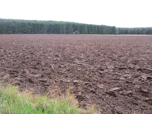
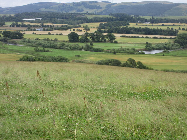
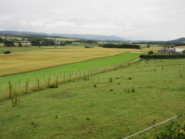
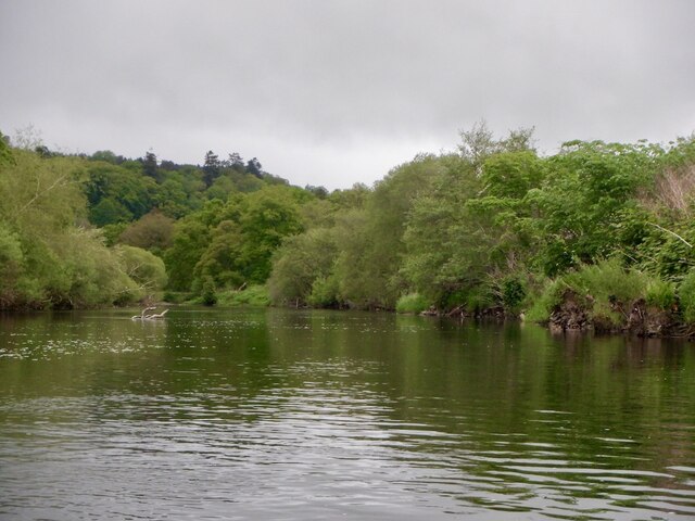
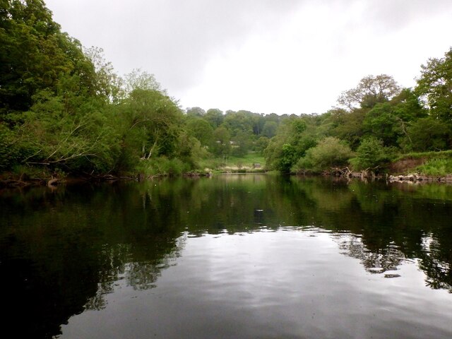
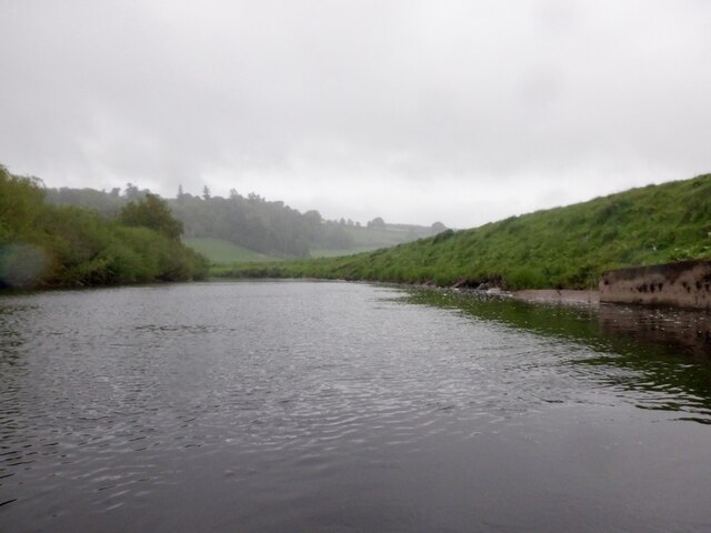
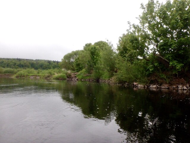
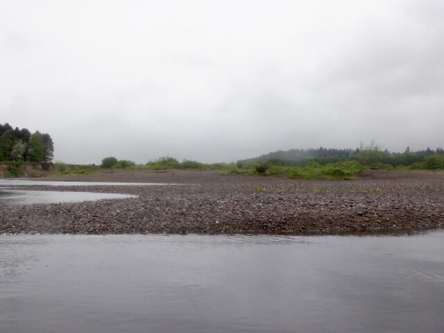
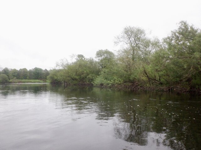
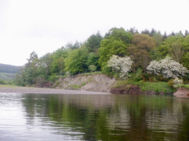
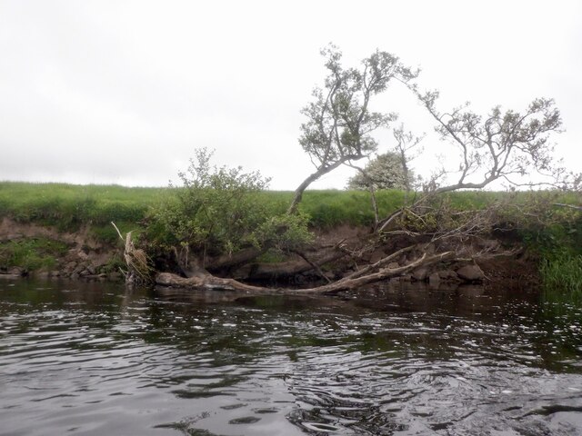
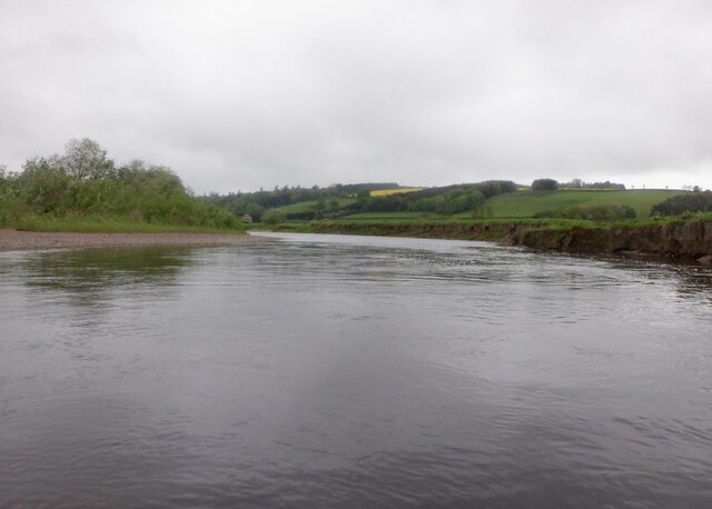
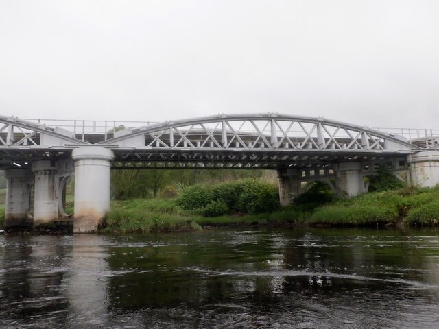
Milltown of Aberdalgie is a small village located in Perthshire, Scotland. Situated along the banks of the River Earn, the village is known for its picturesque surroundings and tranquil atmosphere. The village is surrounded by lush green fields and rolling hills, making it a popular destination for nature lovers and outdoor enthusiasts.

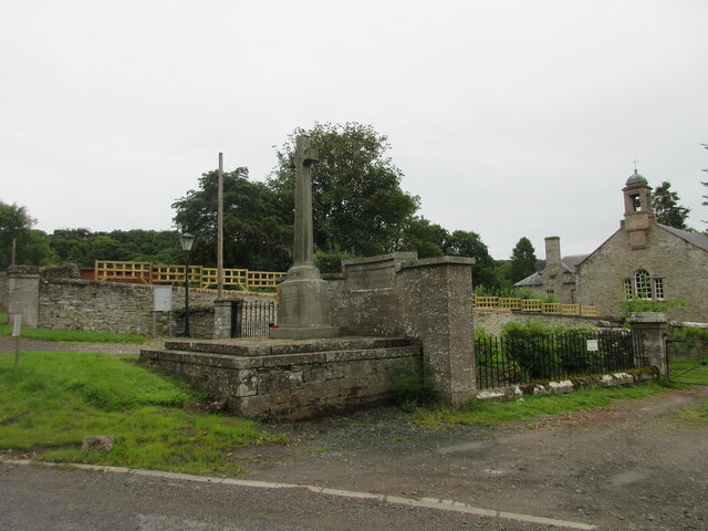
Milltown of Aberdalgie has a rich history dating back to the medieval period, with several historic buildings and landmarks scattered throughout the village. The village is home to a number of traditional stone cottages, some of which have been converted into charming bed and breakfasts and holiday rentals.

Despite its small size, Milltown of Aberdalgie is well-connected to nearby towns and cities, with easy access to the A9 motorway and public transportation options. The village has a close-knit community, with a local pub, church, and community center providing residents with essential amenities and social opportunities.

Overall, Milltown of Aberdalgie offers a peaceful and idyllic setting for those looking to escape the hustle and bustle of city life and enjoy the beauty of the Scottish countryside.

If you have any feedback on the listing, please let us know in the comments section below.

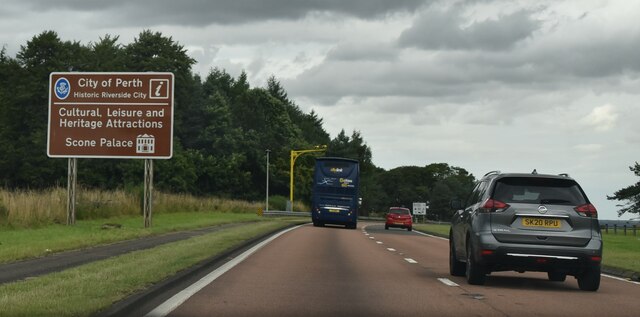
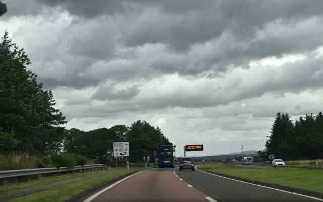
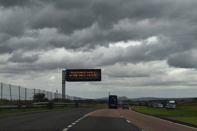
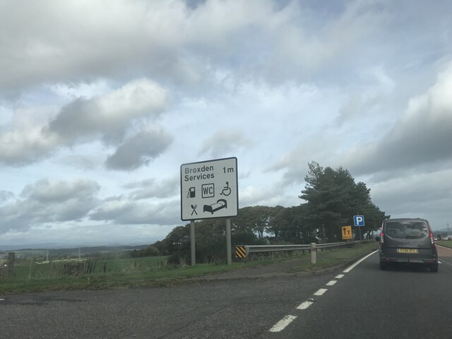
Milltown of Aberdalgie Images

Images are sourced within 2km of 56.36819/-3.497534 or Grid Reference NO0720. Thanks to Geograph Open Source API. All images are credited.

City of Perth, A9 The A9 is a strategic link between the Highlands of Scotland and the Central Belt. It runs 279 miles from junction 5 of the M9 at Polmont to Scrabster. Originally it ran from Edinburgh.
<span class="nowrap"><a title="https://www.sabre-roads.org.uk/wiki/index.php?title=A9" rel="nofollow ugc noopener" href="https://www.sabre-roads.org.uk/wiki/index.php?title=A9">Link</a><img style="margin-left:2px;" alt="External link" title="External link - shift click to open in new window" src="https://s1.geograph.org.uk/img/external.png" width="10" height="10"/></span>
City of Perth, A9
The A9 is a strategic link between the Highlands of Scotland and the Central Belt. It runs 279 miles from junction 5 of the M9 at Polmont to Scrabster. Originally it ran from Edinburgh. LinkExternal link
A9, northbound The A9 is a strategic link between the Highlands of Scotland and the Central Belt. It runs 279 miles from junction 5 of the M9 at Polmont to Scrabster. Originally it ran from Edinburgh.
<span class="nowrap"><a title="https://www.sabre-roads.org.uk/wiki/index.php?title=A9" rel="nofollow ugc noopener" href="https://www.sabre-roads.org.uk/wiki/index.php?title=A9">Link</a><img style="margin-left:2px;" alt="External link" title="External link - shift click to open in new window" src="https://s1.geograph.org.uk/img/external.png" width="10" height="10"/></span>
A9, northbound
The A9 is a strategic link between the Highlands of Scotland and the Central Belt. It runs 279 miles from junction 5 of the M9 at Polmont to Scrabster. Originally it ran from Edinburgh. LinkExternal link
Travel information, A9 The A9 is a strategic link between the Highlands of Scotland and the Central Belt. It runs 279 miles from junction 5 of the M9 at Polmont to Scrabster. Originally it ran from Edinburgh.
<span class="nowrap"><a title="https://www.sabre-roads.org.uk/wiki/index.php?title=A9" rel="nofollow ugc noopener" href="https://www.sabre-roads.org.uk/wiki/index.php?title=A9">Link</a><img style="margin-left:2px;" alt="External link" title="External link - shift click to open in new window" src="https://s1.geograph.org.uk/img/external.png" width="10" height="10"/></span>
Travel information, A9
The A9 is a strategic link between the Highlands of Scotland and the Central Belt. It runs 279 miles from junction 5 of the M9 at Polmont to Scrabster. Originally it ran from Edinburgh. LinkExternal link
Signage - A9 northbound
Ploughed field next to the B9112 Ploughed up field adjacent to the B9112, with Broxden Wood beyond.
Ploughed field next to the B9112
Ploughed up field adjacent to the B9112, with Broxden Wood beyond.
Grassland above Strathearn Rough grass meadow above the River Earn, west of Aberdalgie.
Grassland above Strathearn
Rough grass meadow above the River Earn, west of Aberdalgie.
Aberdalgie War Memorial The war memorial at Aberdalgie, with the church to the right.
Aberdalgie War Memorial
The war memorial at Aberdalgie, with the church to the right.
Strip of paddocks Long strip of grass paddocks at East Mains of Aberdalgie.
Strip of paddocks
Long strip of grass paddocks at East Mains of Aberdalgie.
River Earn, Dupplin
River Earn, Dupplin
River Earn, Dupplin A big meander.
River Earn, Dupplin
A big meander.
River Earn downstream of Dupplin The downstream side of a big meander.
River Earn downstream of Dupplin
The downstream side of a big meander.
River Earn, Broombarns A meander moving southwards by eroding the outside of the bend which is made of clay. I had photographed the crumbling cliffs but there was too many rain spots to make them publishable. Here the river is exiting the active area.
River Earn, Broombarns
A meander moving southwards by eroding the outside of the bend which is made of clay. I had photographed the crumbling cliffs but there was too many rain spots to make them publishable. Here the river is exiting the active area.
Shingle bank, River Earn The inside of an active meander where clay deposits are being eroded by the river. The Earn shows a lot of mature river features like ox bow lakes etc. These are better appreciated from a drone than a raft.
Shingle bank, River Earn
The inside of an active meander where clay deposits are being eroded by the river. The Earn shows a lot of mature river features like ox bow lakes etc. These are better appreciated from a drone than a raft.
River Earn near Broombarns and Sauchie
Eroding bank, River Earn The outside of a bend with a woodland slowly being consumed by the lengthening meander.
Eroding bank, River Earn
The outside of a bend with a woodland slowly being consumed by the lengthening meander.
River Earn, Aberdalgie
Earn Viaduct Carrying the railway between Perth and Stirling which was the Caledonian Railway's main route north.  View of one of the four spans from downstream on the river.
Earn Viaduct
Carrying the railway between Perth and Stirling which was the Caledonian Railway's main route north. View of one of the four spans from downstream on the river.
Show me another place!

Milltown of Aberdalgie is located at Grid Ref: NO0720 (Lat: 56.36819, Lng: -3.497534)

Unitary Authority: Perth and Kinross

Police Authority: Tayside

What 3 Words

///confident.divorcing.stretch. Near Perth, Perth & Kinross

Related Wikis

Aberdalgie

Aberdalgie (Gaelic: Obar Dheilgidh, 'Confluence of the Thorn-Stream') is a small village in the Scottish council area of Perth and Kinross. It is 3 miles...

Forgandenny railway station

Forgandenny railway station served the village of Forgandenny, Perth and Kinross, Scotland from 1848 to 1956 on the Scottish Central Railway. == History... ==
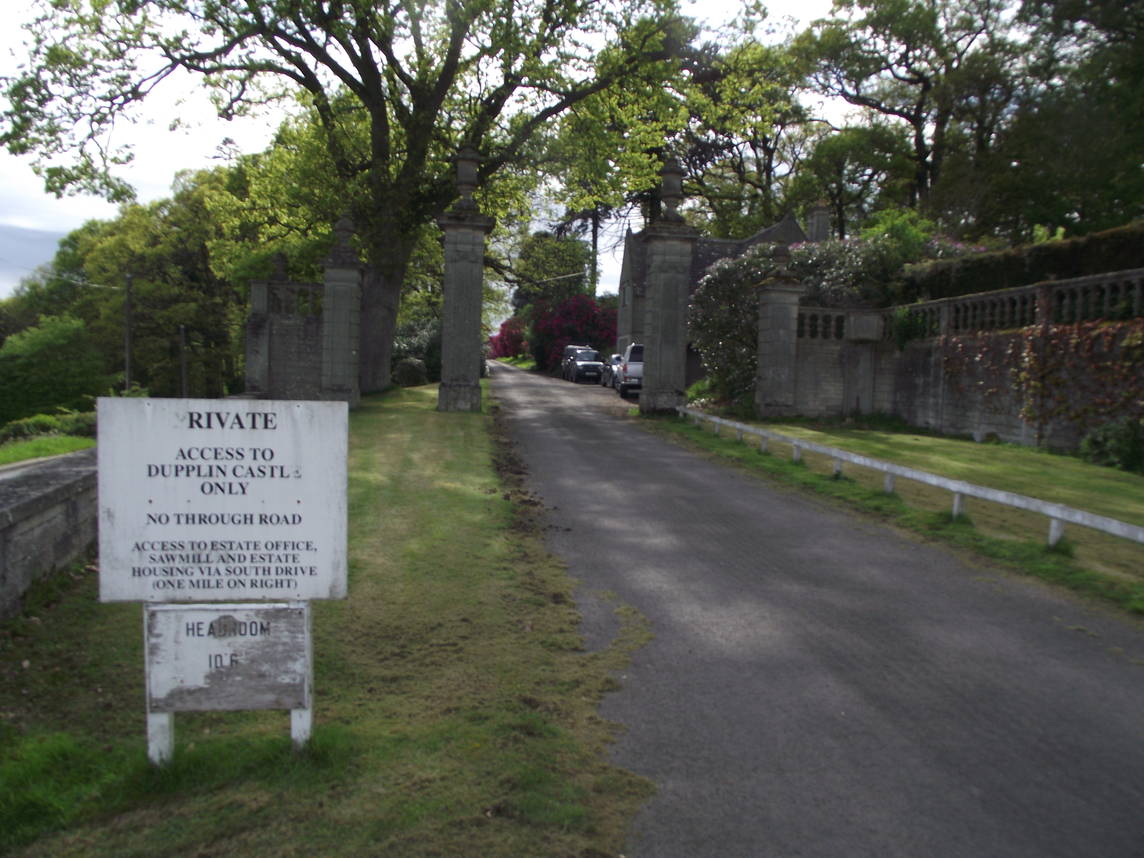
Dupplin Castle

Dupplin Castle is a country house and former castle in Perth and Kinross, Scotland, situated to the west of Aberdalgie and northeast of Forteviot and Dunning...
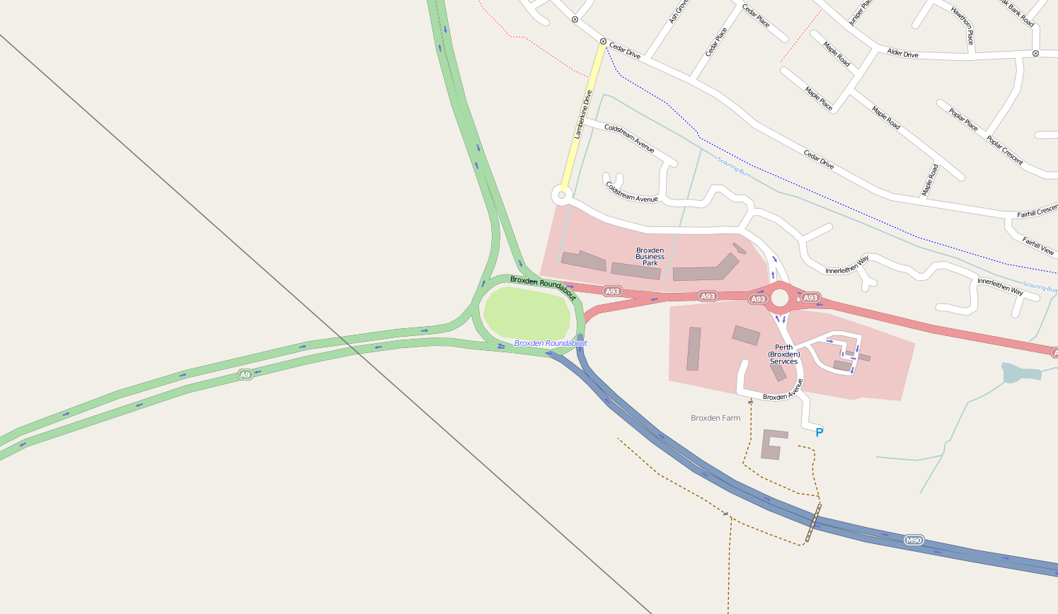
Broxden Junction

Broxden Junction (also known as Broxden Roundabout or Broxden Interchange) is one of the busier and more important road junctions in Scotland. It is located...

Nearby Amenities

Located within 500m of 56.36819,-3.497534
Milltown of Aberdalgie
Created By: POI Editor
Place: hamlet
Source: npe
Lat/Long: 56.3680302/-3.4987047
Aberdalgie
Place: hamlet
Source: npe
Wikidata: Q2821570
Wikipedia: en:Aberdalgie
Lat/Long: 56.3653156/-3.4913456
Telephone
Booth: K6
Covered: booth
Listed Status: Category B
Source: survey
Lat/Long: 56.3677977/-3.4977901
War Memorial
Historic: memorial
Memorial: war_memorial
Lat/Long: 56.365552/-3.4924901
Power: tower
Lat/Long: 56.3699404/-3.493644
Power: tower
Lat/Long: 56.370772/-3.4977269
Milltown of Aberdalgie
1860name: Milltown of Aberdalgie
Pont: no
Stobie1783: Milltown
Designation: Historic Mill
Historic: archaeological_site
Source: OS Six inch First Series
Lat/Long: 56.3684215/-3.4974
Post Box
Collection Times: Mo-Fr 16:15; Sa 10:45
Manufacturer: W.T.Allen & Co. London
Operator: Royal Mail
Post Box Mounting: stone_wall
Post Box Type: wall
Ref: PH2 78
Royal Cypher: GR
Royal Cypher Wikidata: Q33102273
Source: survey;local knowledge
Lat/Long: 56.3685523/-3.4959698
Power: pole
Lat/Long: 56.3680246/-3.4984834
Power: pole
Lat/Long: 56.3684191/-3.4994798
Power: pole
Lat/Long: 56.3688458/-3.5005669
Power: pole
Lat/Long: 56.3692926/-3.5016843
Power: pole
Lat/Long: 56.3697129/-3.5027598
Power: pole
Lat/Long: 56.3701184/-3.5037841
Power: pole
Lat/Long: 56.3678995/-3.4988629
Power: pole
Lat/Long: 56.367581/-3.4985044
Power: pole
Lat/Long: 56.3670498/-3.4979201
Power: pole
Lat/Long: 56.3671401/-3.4972008
Power: pole
Lat/Long: 56.3672393/-3.4964465
Power: pole
Lat/Long: 56.3673399/-3.4956504
Power: pole
Lat/Long: 56.367425/-3.4948356
Power: pole
Lat/Long: 56.3675604/-3.4937205
Power: pole
Lat/Long: 56.3675707/-3.492389
Power: pole
Lat/Long: 56.3675784/-3.4913182
Power: pole
Lat/Long: 56.3675913/-3.4901984
Power: pole
Lat/Long: 56.3674141/-3.4995473
Power: pole
Lat/Long: 56.3672271/-3.5007578
Power: pole
Lat/Long: 56.3670389/-3.5019567
The data included in this document is from www.openstreetmap.org. The data is made available under ODbL.

Have you been to Milltown of Aberdalgie?

Leave your review of Milltown of Aberdalgie below (or comments, questions and feedback).