Cambridgeshire
Historic County in
England
Cambridgeshire

Cambridgeshire is a historic county located in the East of England. It is bordered by five other counties, namely Lincolnshire to the north, Norfolk to the northeast, Suffolk to the east, Essex to the southeast, and Hertfordshire to the south. The county town is Cambridge, which is renowned for its prestigious university.
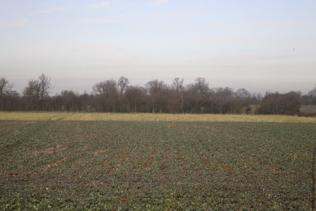
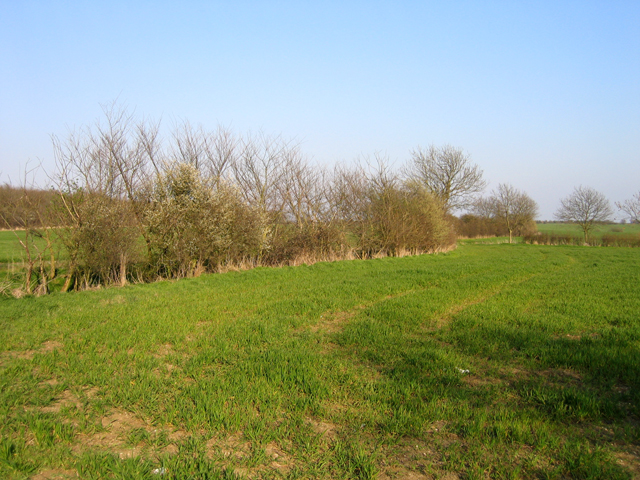
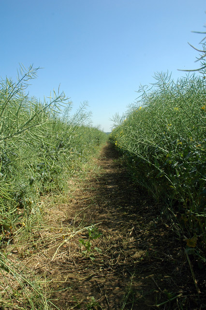
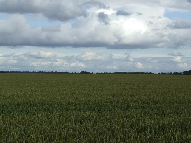
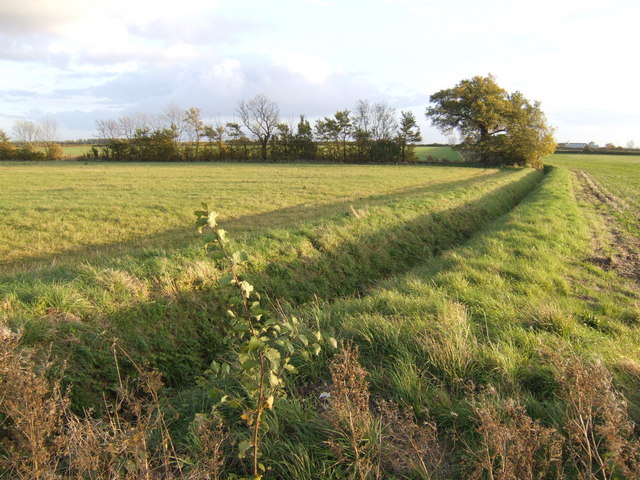
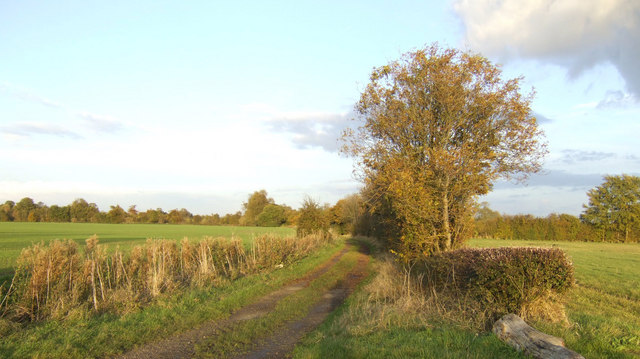
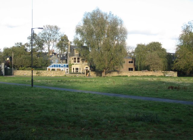
Cambridgeshire covers an area of approximately 1,306 square miles and has a population of around 850,000 people. The county is predominantly rural, with picturesque countryside and charming villages scattered throughout. It is known for its flat topography, with the Fens, a marshy area, covering a large part of the county.
The area has a rich history, with evidence of human habitation dating back to the prehistoric era. Romans settled in Cambridgeshire, leaving behind remnants of their presence, including the famous Roman road, Ermine Street. The county played a significant role in the English Civil War, with notable battles fought in the region.
In addition to its historical significance, Cambridgeshire is renowned for its academic and scientific achievements, primarily due to the University of Cambridge. The university, established in 1209, is one of the world's leading educational institutions and has produced numerous Nobel laureates and eminent scholars.
Cambridgeshire is also home to several notable landmarks, including Ely Cathedral, a magnificent medieval structure, and the Imperial War Museum Duxford, which showcases a vast collection of military aircraft. The county offers a range of recreational activities, such as punting on the River Cam and exploring the charming streets of Cambridge.
Overall, Cambridgeshire is a county that seamlessly blends its rich history with academic excellence, natural beauty, and cultural attractions, making it an appealing destination for locals and visitors alike.
If you have any feedback on the listing, please let us know in the comments section below.
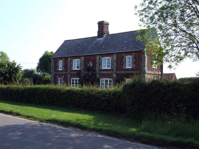
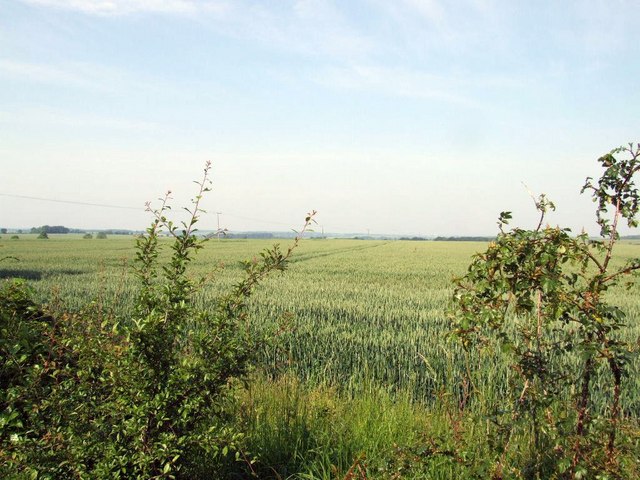
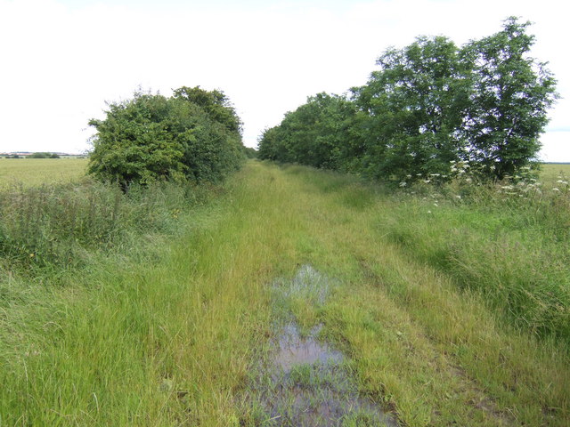
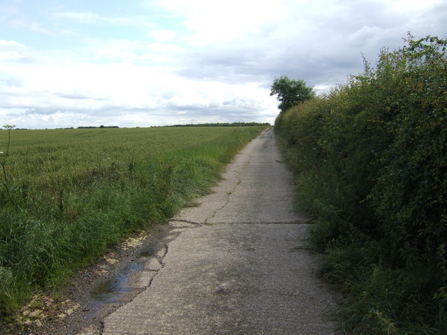
Cambridgeshire Images
Images are sourced within 2km of 52.204862/-0.11968025 or Grid Reference TL4458. Thanks to Geograph Open Source API. All images are credited.


Cambridgeshire is located at Grid Ref: TL4458 (Lat: 52.204862, Lng: -0.11968025)
What 3 Words
///spurted.unfit.gestures. Near Great Gransden, Cambridgeshire
Nearby Locations
Related Wikis
Midsummer House
Midsummer House is a restaurant located in Cambridge, Cambridgeshire, England, on the bank of the river Cam. It is a Victorian style house that was transformed...

Caxton, Cambridgeshire
Caxton is a small rural village and civil parish in the South Cambridgeshire district of Cambridgeshire, England. It is 9 miles west of the county town...

Eltisley
Eltisley is a village and civil parish in South Cambridgeshire, England, on the A428 road about 5.5 miles (8.9 km) east of St Neots and about 11 miles...

Bourn Windmill
Bourn Windmill is an open trestle post mill at Bourn in Cambridgeshire, England, which was standing in 1636. It is a Grade I Listed building and a Scheduled...
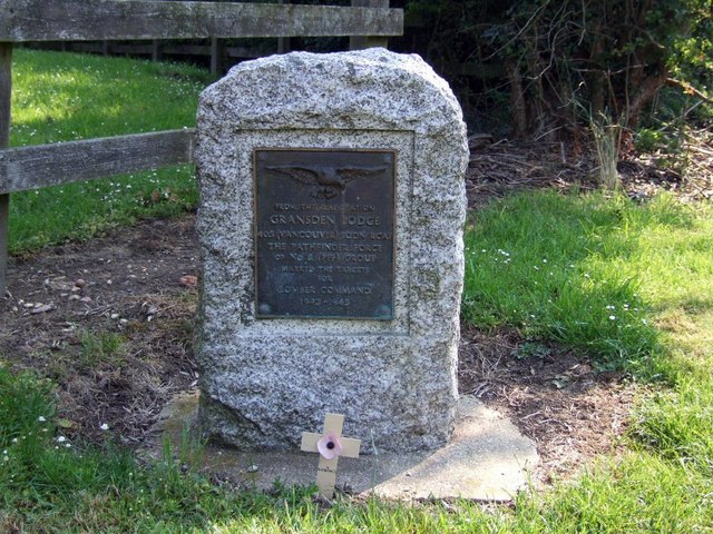
Gransden Lodge Airfield
Gransden Lodge Airfield is a former wartime airfield located 10.1 mi (16.3 km) west of Cambridge, Cambridgeshire, England. The Cambridge University Gliding...

Great Gransden
Great Gransden is a civil parish and village in the Huntingdonshire district of Cambridgeshire, England. In 2001, the parish population was 969, which...

Caxton Gibbet
Caxton Gibbet is a small knoll on Ermine Street (now the A1198) in England, running between London and Huntingdon, near its crossing with the road (now...

The Chequers, Little Gransden
The Chequers is a pub in Little Gransden, Cambridgeshire. It has served the village since around 1764, and although Little Gransden had four pubs at one...
Nearby Amenities
Located within 500m of 52.204862,-0.11968025Have you been to Cambridgeshire?
Leave your review of Cambridgeshire below (or comments, questions and feedback).