Yarborough Camp

Heritage Site in Lincolnshire

England

Yarborough Camp

Croxton (NE Lincs) DMV: aerial 2022 Site of Croxton DMV, mentioned in DB. Village street, toft boundaries and house-sites survive as earthworks, mainly in field E of Croxton Road but also extending c. 150m. W of road. Area c. 15 ha. 

See: <span class="nowrap"><a title="https://www.heritagegateway.org.uk/Gateway/Results_Single.aspx?uid=MLS2270&resourceID=1034" rel="nofollow ugc noopener" href="https://www.heritagegateway.org.uk/Gateway/Results_Single.aspx?uid=MLS2270&resourceID=1034">Link</a><img style="margin-left:2px;" alt="External link" title="External link - shift click to open in new window" src="https://s1.geograph.org.uk/img/external.png" width="10" height="10"/></span>
Croxton (NE Lincs) DMV: aerial 2022 Credit: Simon Tomson

The requested URL returned error: 429 Too Many Requests

If you have any feedback on the listing, please let us know in the comments section below.

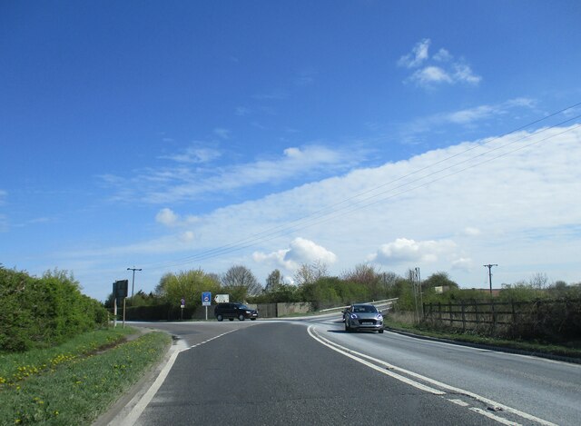
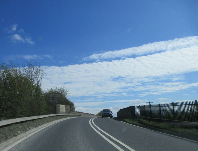
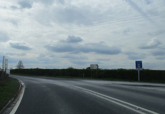
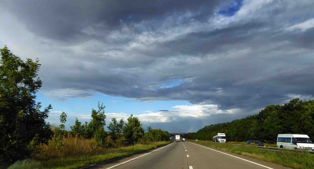
Yarborough Camp Images

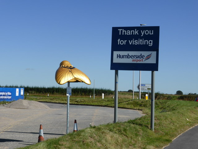
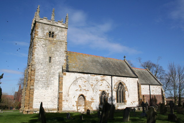
Images are sourced within 2km of 53.597/-0.36 or Grid Reference TA0812. Thanks to Geograph Open Source API. All images are credited.

Croxton (NE Lincs) DMV: aerial 2022 Site of Croxton DMV, mentioned in DB. Village street, toft boundaries and house-sites survive as earthworks, mainly in field E of Croxton Road but also extending c. 150m. W of road. Area c. 15 ha. 

See: <span class="nowrap"><a title="https://www.heritagegateway.org.uk/Gateway/Results_Single.aspx?uid=MLS2270&resourceID=1034" rel="nofollow ugc noopener" href="https://www.heritagegateway.org.uk/Gateway/Results_Single.aspx?uid=MLS2270&resourceID=1034">Link</a><img style="margin-left:2px;" alt="External link" title="External link - shift click to open in new window" src="https://s1.geograph.org.uk/img/external.png" width="10" height="10"/></span>
Croxton (NE Lincs) DMV: aerial 2022
Site of Croxton DMV, mentioned in DB. Village street, toft boundaries and house-sites survive as earthworks, mainly in field E of Croxton Road but also extending c. 150m. W of road. Area c. 15 ha. See: LinkExternal link
Field path and landing lights
Field path to Croxton
Looking west to the A180
Public footpath near Wootton
Roundabout  on  A18  at  Humberside  Airport Turn right to enter airport. The black dot above the hanger just right of centre is a helicopter coming into land.
Roundabout on A18 at Humberside Airport
Turn right to enter airport. The black dot above the hanger just right of centre is a helicopter coming into land.
A18  passing  Humberside  Airport Above the large building to the right of the road is a helicopter coming in to land
A18 passing Humberside Airport
Above the large building to the right of the road is a helicopter coming in to land
Junction  of  B1211  onto  A18  near  Melton  Ross  Quarries Note the white road coming from the B1211 onto the A18, produced by the many limestone loaded lorries that use this exit on a daily basis. The A18 rises as it bears right to bridge the railway lines.
Junction of B1211 onto A18 near Melton Ross Quarries
Note the white road coming from the B1211 onto the A18, produced by the many limestone loaded lorries that use this exit on a daily basis. The A18 rises as it bears right to bridge the railway lines.
Bridge  over  railway  lines  on  the  A18
Bridge over railway lines on the A18
Junction  of  B1211  and  A18  at  Melton  Ross  Quarries The white trail out on to the A18 made by the limestone lorries
Junction of B1211 and A18 at Melton Ross Quarries
The white trail out on to the A18 made by the limestone lorries
High Wood Farm
High Wood Farm
Entrance to Pond Close Wood
A180 heading East near Melton Ross
A180 heading West
A180 heading West
A Moth for Amy One of the Moths created for the Amy Johnson festival, this is number 54 "Deco Moth" Designed by Rebecca Dennison and painted by Doug Smelt
A Moth for Amy
One of the Moths created for the Amy Johnson festival, this is number 54 "Deco Moth" Designed by Rebecca Dennison and painted by Doug Smelt
A Moth for Amy The dedication of number 54, shadowed by the Moth itself.  See also <a href="https://www.geograph.org.uk/photo/5063687">TA0910 : A Moth for Amy</a>
A Moth for Amy
The dedication of number 54, shadowed by the Moth itself. See also TA0910 : A Moth for Amy
A Moth and its sponsor The Moth seen in <a href="https://www.geograph.org.uk/photo/5063687">TA0910 : A Moth for Amy</a> was sponsored by the "Hampton by Hilton Humberside Airport" hotel which is seen here under construction just behind it.
A Moth and its sponsor
The Moth seen in TA0910 : A Moth for Amy was sponsored by the "Hampton by Hilton Humberside Airport" hotel which is seen here under construction just behind it.
Franklin Way, Humberside Airport
Show me another place!

Yarborough Camp is located at Grid Ref: TA0812 (Lat: 53.597, Lng: -0.36)

Division: Parts of Lindsey

Unitary Authority: North Lincolnshire

Police Authority: Humberside

What 3 Words

///lawn.announced.plots. Near Croxton, Lincolnshire

Nearby Locations

Croxton Yarborough Camp

Related Wikis

Croxton, Lincolnshire

Croxton is a civil parish in North Lincolnshire, England. It is situated just south from the A180, 1 mile (1.6 km) north-west from Kirmington and 7 miles...

Melton Ross

Melton Ross is a small village in North Lincolnshire, separated from New Barnetby by a railway line and level crossing. The 2001 census found 186 people...

Kirmington

Kirmington is a village in North Lincolnshire, England. It is part of the civil parish of Kirmington and Croxton. From the 2011 census the village became...

RAF Kirmington

Royal Air Force Kirmington or more simply RAF Kirmington was a Royal Air Force station located 6.2 miles (10.0 km) north east of Brigg, Lincolnshire and...

Have you been to Yarborough Camp?

Leave your review of Yarborough Camp below (or comments, questions and feedback).