Y Caer fawr
Heritage Site in Carmarthenshire
Wales
Y Caer fawr

Y Caer fawr, also known as Caerfawr Roman Fort, is a significant heritage site located in Carmarthenshire, Wales. The fort is situated on the western bank of the River Towy, approximately 3 miles northeast of the town of Carmarthen.
Built during the Roman occupation of Britain in the 1st century AD, Y Caer fawr served as a strategic military base for the Romans. The fort was constructed as part of a network of forts and roads that aimed to maintain control over the region and protect the Roman frontier.
The fort is rectangular in shape, covering a total area of approximately 2.5 acres. It is surrounded by a defensive stone wall, with four corner towers and two gates. The interior of the fort consists of various buildings, including barracks, granaries, a bathhouse, and a commandant's house.
Excavations at Y Caer fawr have uncovered numerous artifacts, providing valuable insights into the daily lives of the Roman soldiers stationed there. These artifacts include pottery, coins, and personal items such as jewelry and weaponry.
Y Caer fawr is a popular destination for history enthusiasts and tourists interested in Roman history. The site offers visitors the opportunity to explore the remains of the fort and learn about the lives of the Roman soldiers who once occupied the area. Additionally, guided tours and educational programs are available to provide a deeper understanding of the site's historical significance.
If you have any feedback on the listing, please let us know in the comments section below.
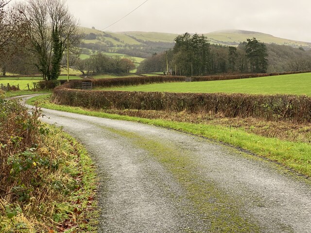
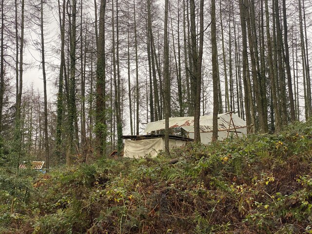
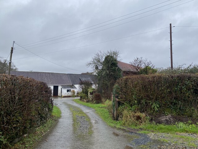
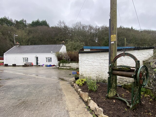
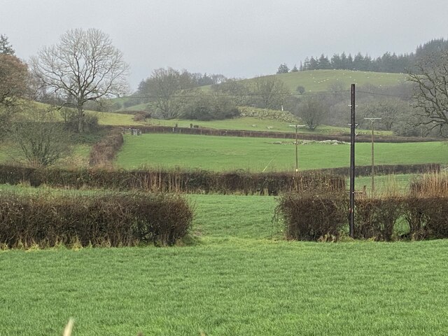
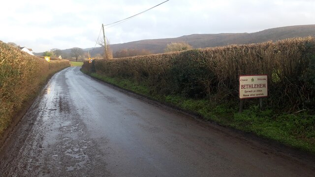
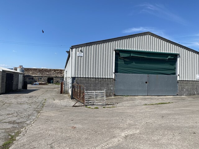
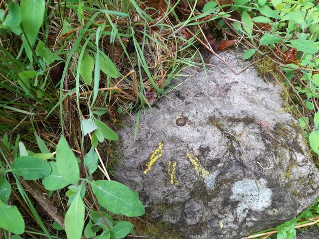
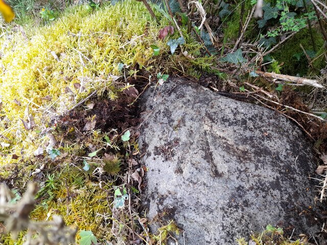
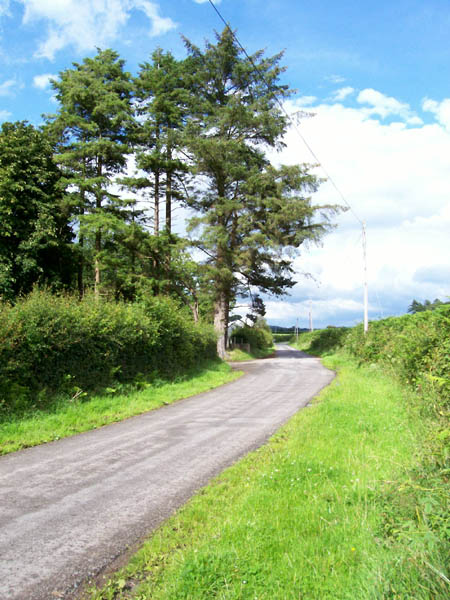
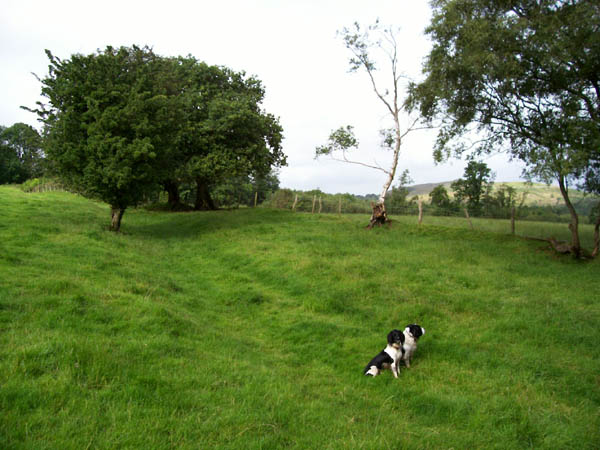
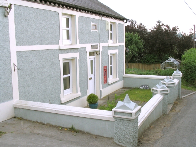
Y Caer fawr Images
Images are sourced within 2km of 51.903/-3.897 or Grid Reference SN6924. Thanks to Geograph Open Source API. All images are credited.


Y Caer fawr is located at Grid Ref: SN6924 (Lat: 51.903, Lng: -3.897)
Unitary Authority: Carmarthenshire
Police Authority: Dyfed Powys
What 3 Words
///dozens.juniors.tooth. Near Llansadwrn, Carmarthenshire
Nearby Locations
Related Wikis

Y Garn Goch
Y Garn Goch is a hill in the Brecon Beacons National Park in the east of Carmarthenshire, Wales. The name means the 'red cairn'. It lies near the village...
Bethlehem, Carmarthenshire
Bethlehem is a tiny farming village in the county of Carmarthenshire, Wales, lying in the Tywi Valley northeast of Llandeilo and southwest of Llangadog...

Trichrug
Trichrug (also referred to as Pen-y-bicws) is a hill four miles east of Llandeilo and 3 miles south of Llangadog in the county of Carmarthenshire, southwest...

Bont Fawr
Bont Fawr is a tiny hamlet in Carmarthenshire, Wales.

Glanrhyd Halt railway station
Glanrhyd railway station served the town of Llandeilo, Carmarthenshire, Wales, from 1858 to 1955 on the Vale of Towy Railway. == History == The station...
Glanrhyd Bridge collapse
On 19 October 1987, a train on the Heart of Wales line derailed and fell into the River Towy due to the partial collapse of the Glanrhyd Bridge near Llandeilo...
Manordeilo and Salem
Manordeilo and Salem (Welsh: Maenordeilo a Salem) is a community located in Carmarthenshire, Wales. The population taken at the 2011 census was 1,754.The...
Manordeilo
Manordeilo is a village in Carmarthenshire, Wales, near the River Tywi. == External links == Manordeilo and Salem Community Council website
Nearby Amenities
Located within 500m of 51.903,-3.897Have you been to Y Caer fawr?
Leave your review of Y Caer fawr below (or comments, questions and feedback).