Wimpole
Heritage Site in Cambridgeshire South Cambridgeshire
England
Wimpole

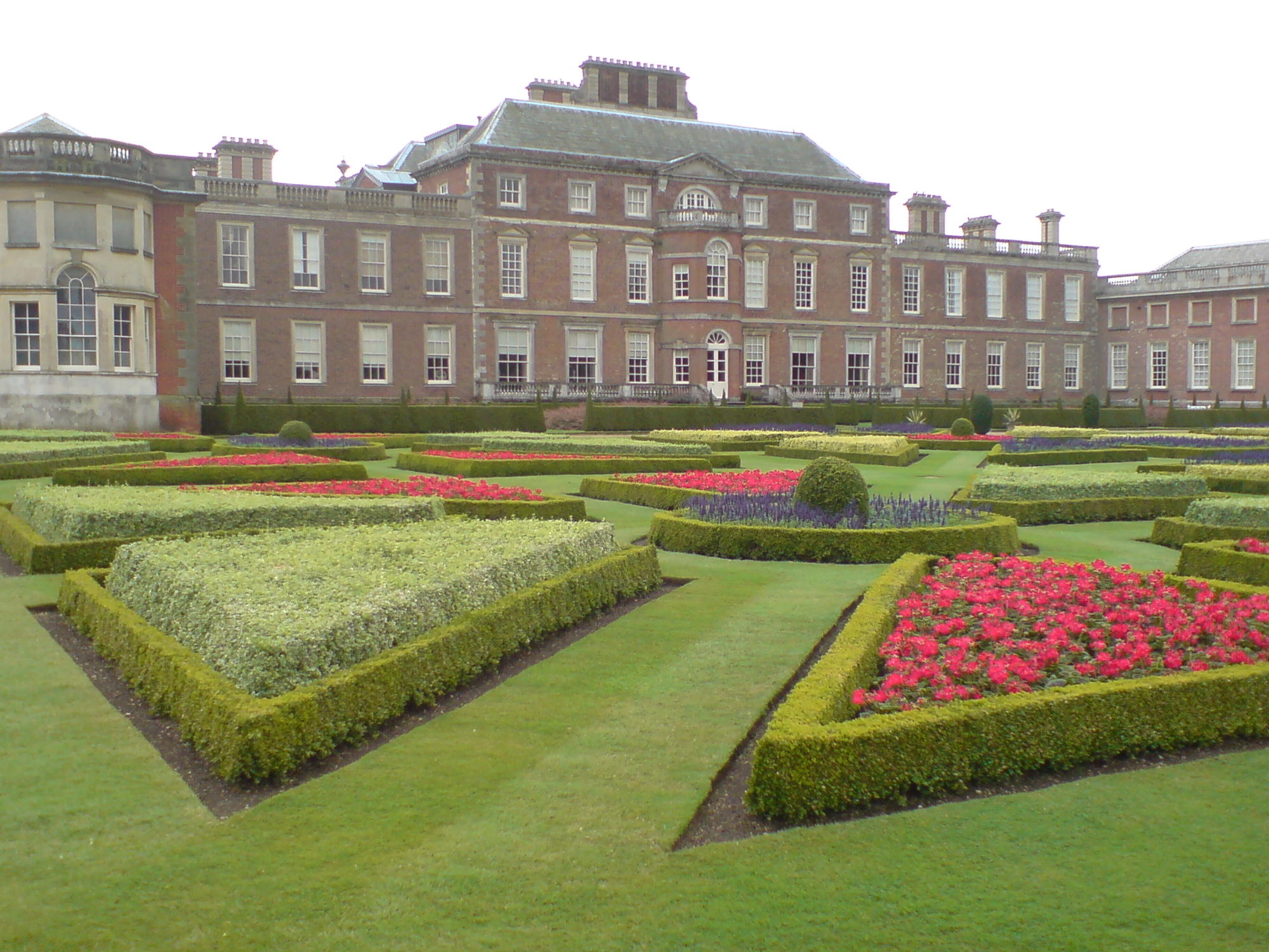
Wimpole is a picturesque village located in the county of Cambridgeshire, England. Situated approximately 8 miles southwest of the bustling city of Cambridge, Wimpole is renowned for its historic significance and stunning natural beauty. The village is perhaps best known for being home to the magnificent Wimpole Hall, a grand stately home that dates back to the 17th century.
Wimpole Hall, a Grade I listed building, stands proudly amidst a vast estate spanning over 3,000 acres of parkland and farmland. The house itself boasts an impressive architectural style, combining elements of Gothic and Classical design. It was once the residence of the Chicheley family and later the Earls of Hardwicke, and is now managed by the National Trust.
Visitors to Wimpole Hall can explore the opulent interiors, which include beautifully adorned rooms, a grand library, and an impressive art collection. The estate also features well-manicured gardens and parklands, offering visitors a serene and tranquil escape from the city. The Wimpole Home Farm, located within the grounds, showcases a working farm with a variety of rare breed animals, providing a unique educational experience for visitors of all ages.
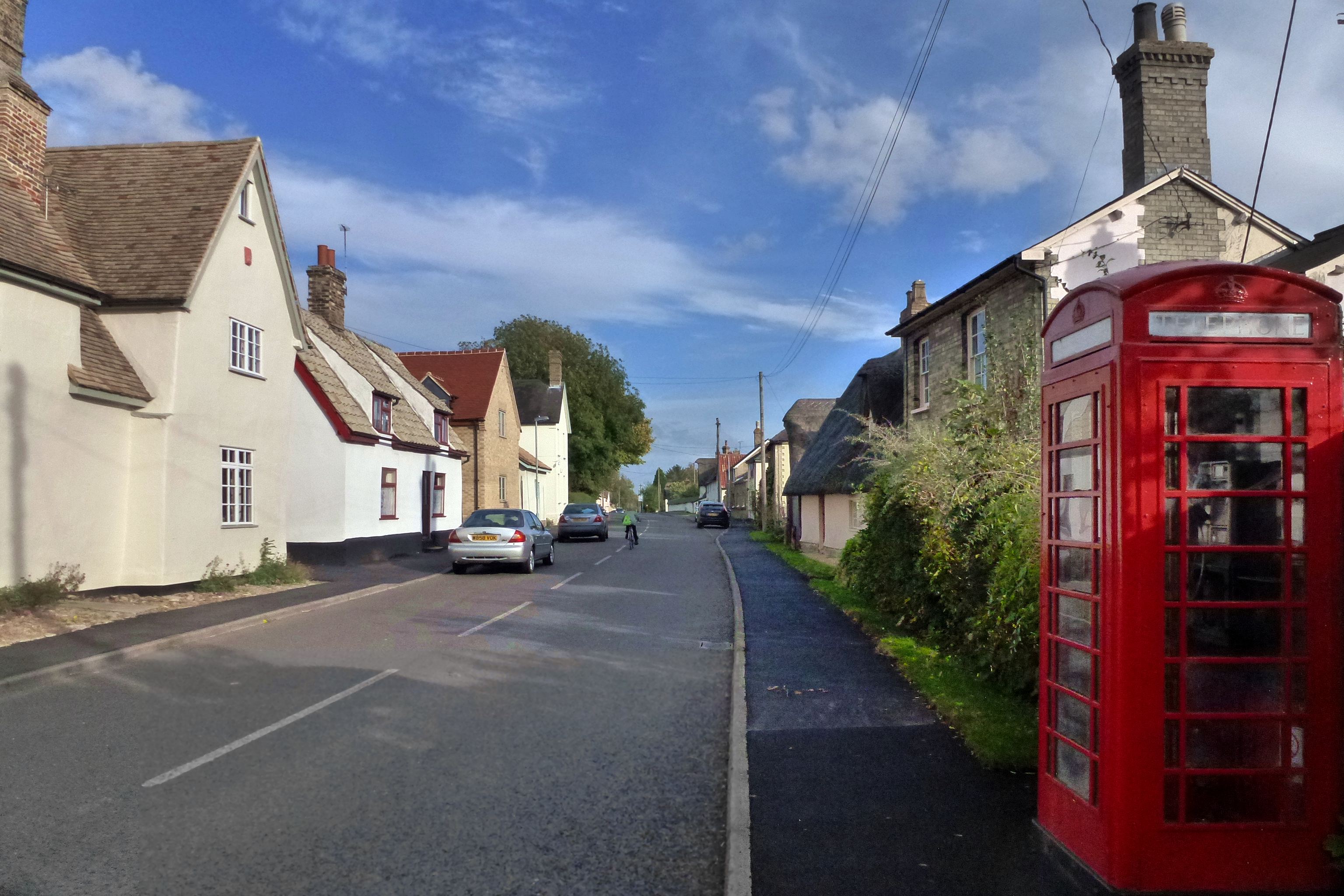
In addition to the hall, Wimpole village itself is charming, with a collection of traditional cottages and a picturesque church. The village offers a range of amenities, including a pub and a tea room, where visitors can relax and enjoy the quaint surroundings.
Overall, Wimpole is a captivating heritage site that combines rich history, stunning architecture, and natural beauty, making it a must-visit destination for history enthusiasts and nature lovers alike.
If you have any feedback on the listing, please let us know in the comments section below.
Wimpole Images
Images are sourced within 2km of 52.141/-0.049 or Grid Reference TL3350. Thanks to Geograph Open Source API. All images are credited.


Wimpole is located at Grid Ref: TL3350 (Lat: 52.141, Lng: -0.049)
Administrative County: Cambridgeshire
District: South Cambridgeshire
Police Authority: Cambridgeshire
What 3 Words
///splinters.freely.fails. Near Orwell, Cambridgeshire
Nearby Locations
Related Wikis

Wimpole Estate
Wimpole Estate is a large estate containing Wimpole Hall, a country house located within the civil parish of Wimpole, Cambridgeshire, England, about 8...
Wimpole
Wimpole is a small village and civil parish in South Cambridgeshire, England, about 8+1⁄2 miles (13.7 km) southwest of Cambridge. Until 1999, the main...
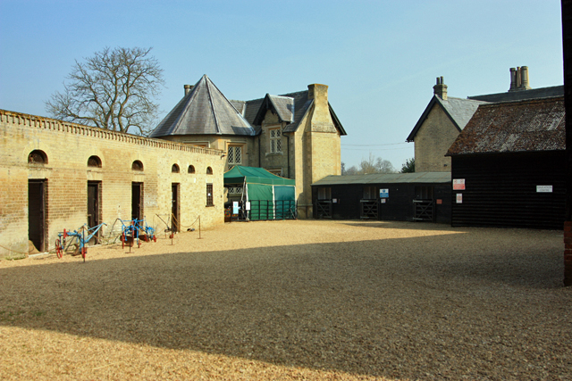
Wimpole Home Farm
Wimpole Home Farm is an 18th-century model farm on the Wimpole Estate, Arrington, Royston, in South Cambridgeshire, England, and operated by the National...
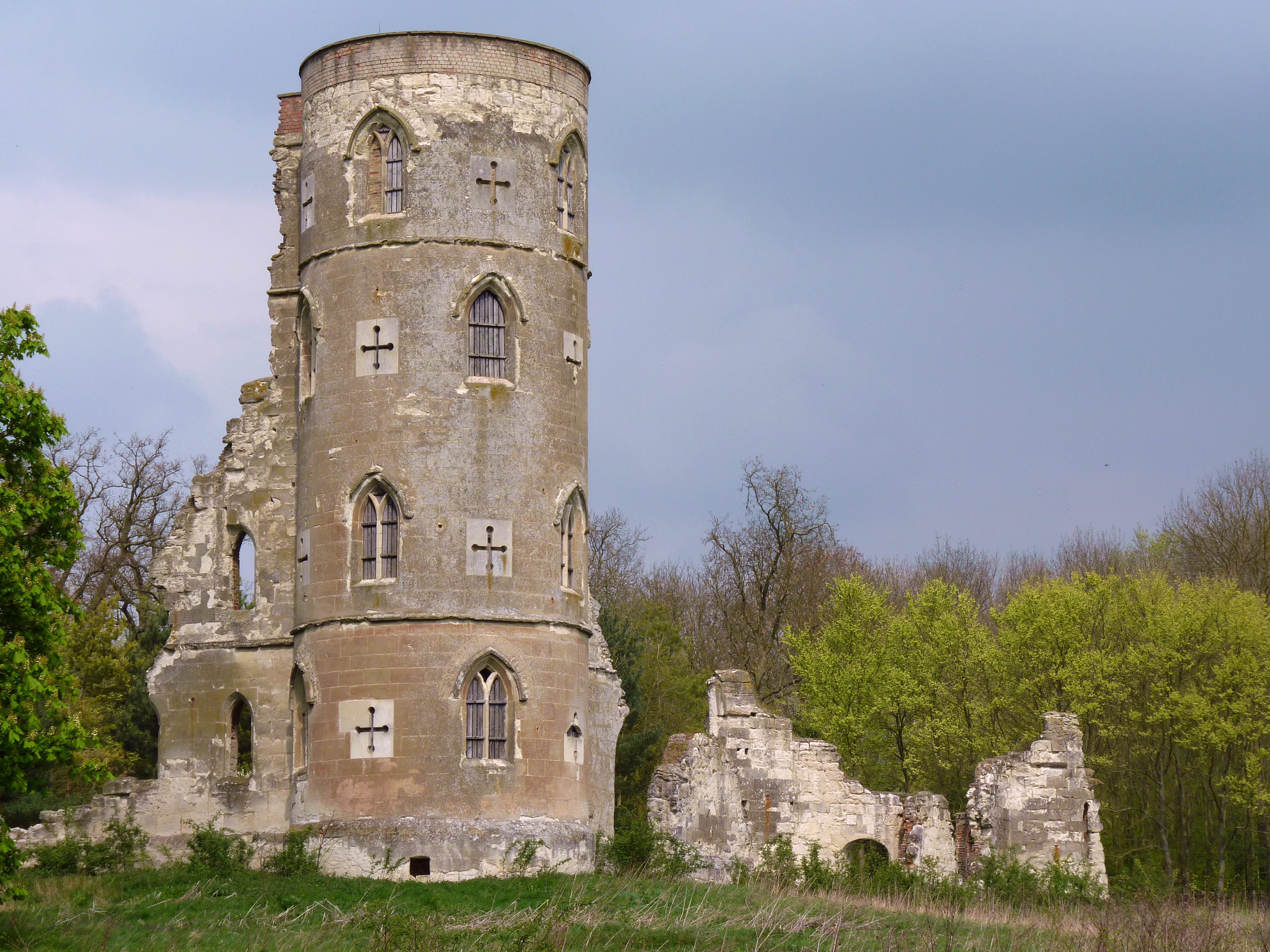
Wimpole's Folly
Wimpole's Folly is a folly ruin located in the grounds of Wimpole Hall, in the parish of Wimpole, in Cambridgeshire, England.The folly is designed to resemble...
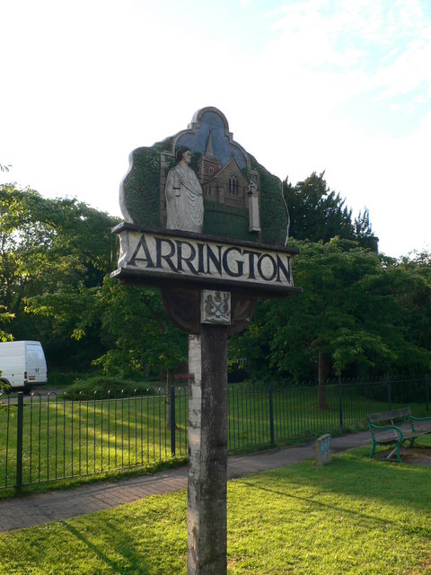
Arrington, Cambridgeshire
Arrington is a small village and civil parish in the South Cambridgeshire district of Cambridgeshire, England, with a population of 415 at the time of...
Orwell, Cambridgeshire
Orwell is a rural village outside Cambridge in South Cambridgeshire, England. The Prime Meridian passes the eastern edge of Orwell. == History == The village...

Croydon, Cambridgeshire
Croydon is a small village and civil parish in South Cambridgeshire, England. It is 10 miles (16 km) south-west of Cambridge and immediately west of the...
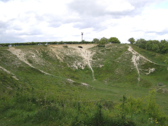
Orwell Clunch Pit
Orwell Clunch Pit is a 1.8-hectare (4.4-acre) biological Site of Special Scientific Interest on the northern outskirts of Orwell in Cambridgeshire. It...
Nearby Amenities
Located within 500m of 52.141,-0.049Have you been to Wimpole?
Leave your review of Wimpole below (or comments, questions and feedback).