Westhall

Heritage Site in Aberdeenshire

Scotland

Westhall

Achreolink when still open
Achreolink when still open Credit: Ralph Greig

Westhall is a small village located in the region of Aberdeenshire, Scotland. It is renowned for its rich historical heritage, attracting visitors from near and far. This picturesque hamlet, nestled amidst rolling hills and lush greenery, offers a glimpse into Scotland's past.

One of the main highlights of Westhall is its stunning heritage site, which is steeped in history. The site comprises a collection of well-preserved medieval buildings that date back to the 15th century. These structures include a castle, a church, and a range of residential dwellings. The castle, in particular, stands out with its imposing stone walls and intricate architectural details. Visitors can explore its interior and marvel at the well-preserved medieval artifacts and furniture.

The church in Westhall is also worth a visit, as it showcases beautiful stained glass windows and ancient tombstones. It provides a serene atmosphere where visitors can reflect on the village's rich past. Additionally, the residential dwellings in Westhall offer a glimpse into the daily lives of the people who once inhabited this village.

Surrounded by breathtaking natural beauty, Westhall also offers opportunities for outdoor activities. Hiking trails wind through the nearby countryside, providing panoramic views of the surrounding landscape. Visitors can immerse themselves in the tranquility of the area and experience the charm of rural Scotland.

Overall, Westhall in Aberdeenshire is a captivating heritage site that offers a unique insight into Scotland's medieval history. Its well-preserved buildings, serene church, and stunning natural surroundings make it a must-visit destination for history enthusiasts and nature lovers alike.

If you have any feedback on the listing, please let us know in the comments section below.
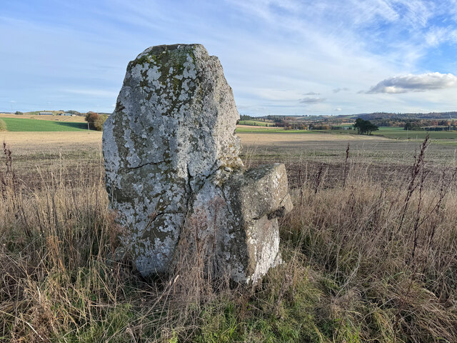
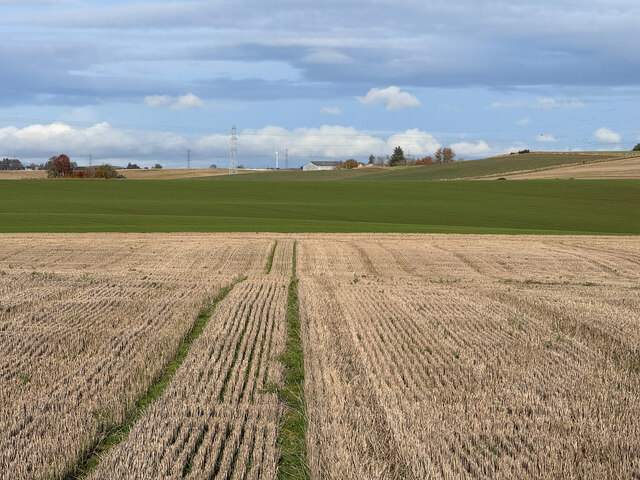
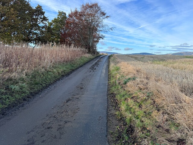
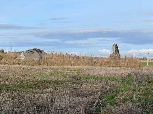
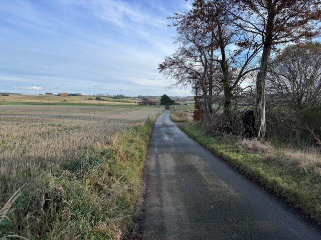
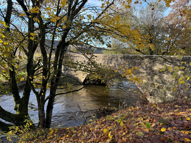
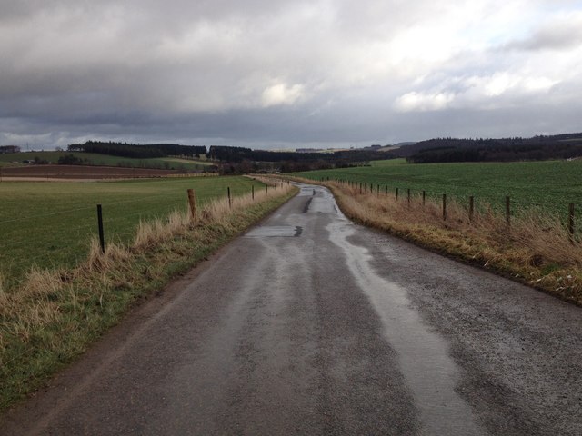
Westhall Images

Images are sourced within 2km of 57.328/-2.54 or Grid Reference NJ6726. Thanks to Geograph Open Source API. All images are credited.

Achreolink when still open
Candle Hill Stone Circle The tallest stone in the circle.
Candle Hill Stone Circle
The tallest stone in the circle.
Fields of Candle Hill
Road on Candle Hill
Road on Candle Hill
Candle Hill Stone Circle
Road on Candle Hill
Road on Candle Hill
Bridge over the River Urie
The village of Oyne from the slopes of Bennachie This view is from the narrow and muddy footpath that runs along the north side of the hill, parallel to the Old Aberdeen Turnpike.
The village of Oyne from the slopes of Bennachie
This view is from the narrow and muddy footpath that runs along the north side of the hill, parallel to the Old Aberdeen Turnpike.
The Iron Age Roundhouse, Archaeolink, Oyne
Memorial Cairn, Oyne This cairn, built in memory of the late Anne Savage of Harthill Castle, stands approximately 20m north of the Gowk Stane
Memorial Cairn, Oyne
This cairn, built in memory of the late Anne Savage of Harthill Castle, stands approximately 20m north of the Gowk Stane
Harthill Castle from the west
Coronation Stone, Oyne Fork Unmarked on the maps, this little gem is tucked away at the side of the road junction on the very busy A96.
Someone knows it is here and keeps the grass cut around the spot.
It is simply inscribed:
E II R
Coronation
2nd June 1953

Not sure on the hills in the background, but looking in the direction of Bennachie and Mither Tap or possibly Millstone Hill?
Coronation Stone, Oyne Fork
Unmarked on the maps, this little gem is tucked away at the side of the road junction on the very busy A96. Someone knows it is here and keeps the grass cut around the spot. It is simply inscribed: E II R Coronation 2nd June 1953 Not sure on the hills in the background, but looking in the direction of Bennachie and Mither Tap or possibly Millstone Hill?
Inscription on the Coronation Stone, Oyne Fork E II R
Coronation 
2nd June 1953
<a href="https://www.geograph.org.uk/photo/3085685">NJ6925 : Coronation Stone, Oyne Fork</a>
Inscription on the Coronation Stone, Oyne Fork
E II R Coronation 2nd June 1953 NJ6925 : Coronation Stone, Oyne Fork
Ordnance Survey  Flush Bracket S4935 This can be found on the wall of the school.
For more detail see : <span class="nowrap"><a title="http://www.bench-marks.org.uk/bm545" rel="nofollow ugc noopener" href="http://www.bench-marks.org.uk/bm545">Link</a><img style="margin-left:2px;" alt="External link" title="External link - shift click to open in new window" src="https://s1.geograph.org.uk/img/external.png" width="10" height="10"/></span>
Ordnance Survey Flush Bracket S4935
This can be found on the wall of the school. For more detail see : LinkExternal link
Farm road to North Lodge
Minor road near Westerton
Minor road near Old Rayne
Grazing, Bridge of Pitmachie
Show me another place!

Westhall is located at Grid Ref: NJ6726 (Lat: 57.328, Lng: -2.54)

What 3 Words

///rocket.directly.constants. Near Insch, Aberdeenshire

Nearby Locations

Westhall

Related Wikis

Westhall Castle

Westhall Castle, also known as Westhall House, is a country house located to the north of Oyne, in Aberdeenshire, Scotland. The house includes a 16th-century...

Oyne railway station

Oyne railway station is a former railway station serving the small village of Oyne, Aberdeenshire. == History == Oyne station was built by the Great North...

Oyne

Oyne is a small village in rural Aberdeenshire at the bottom of Bennachie in Scotland. == Locality == The village has limited local resources. It once...

Old Rayne

Old Rayne is a small village in Aberdeenshire, Scotland, approximately 9 miles (14 kilometres) north west of Inverurie and 14 mi (23 km) south east of...

Nearby Amenities

Located within 500m of 57.328,-2.54
Power: pole
Lat/Long: 57.3305455/-2.546178
Power: pole
Lat/Long: 57.3307257/-2.5454093
Power: pole
Lat/Long: 57.3318313/-2.5421084
Power: pole
Lat/Long: 57.3321506/-2.5410775
Power: pole
Lat/Long: 57.3324748/-2.54004
Power: pole
Lat/Long: 57.3266441/-2.5470631
Power: pole
Lat/Long: 57.327197/-2.5469668
Power: pole
Lat/Long: 57.3277547/-2.5468637
Power: pole
Lat/Long: 57.3284454/-2.5467516
Power: pole
Lat/Long: 57.3289813/-2.5466508
Power: pole
Lat/Long: 57.3296152/-2.5465589
Power: pole
Lat/Long: 57.3302309/-2.5463438
Power: pole
Lat/Long: 57.3284067/-2.5322975
Power: pole
Lat/Long: 57.3286281/-2.5334695
Power: pole
Lat/Long: 57.3288543/-2.5346639
Power: pole
Lat/Long: 57.3290612/-2.535827
Power: pole
Lat/Long: 57.3295535/-2.5363872
Power: pole
Lat/Long: 57.3300362/-2.5369788
Power: pole
Lat/Long: 57.3304342/-2.5374517
Power: pole
Lat/Long: 57.3310245/-2.5378125
Power: pole
Lat/Long: 57.3317043/-2.5382472
Power: pole
Lat/Long: 57.3320539/-2.5384668
The data included in this document is from www.openstreetmap.org. The data is made available under ODbL.

Have you been to Westhall?

Leave your review of Westhall below (or comments, questions and feedback).