Wegnall

Heritage Site in Radnorshire

Wales

Wegnall

Hereford Street, Presteigne
Hereford Street, Presteigne Credit: Stephen McKay

Wegnall, located in Radnorshire, is a significant heritage site in Wales that holds historical and cultural importance. Nestled amidst beautiful rolling hills and lush green landscape, this site is a testament to the rich history of the region.

Dating back to the medieval period, Wegnall has witnessed various phases of development and transformation over the centuries. The site comprises a well-preserved castle, which served as a stronghold during the medieval era. The castle, constructed with local stone, boasts impressive defensive features such as thick walls and a moat, providing insights into the military architecture of the time.

Besides the castle, Wegnall also encompasses ruins of a medieval village, showcasing the remains of houses, farmsteads, and other structures that were once part of a thriving community. These ruins offer a glimpse into the daily lives and activities of the people who inhabited the village during the medieval period.

Visitors to Wegnall can explore the castle and its grounds, taking in the panoramic views of the surrounding countryside. The site also offers guided tours, providing visitors with an opportunity to learn about the history, architecture, and significance of the castle and village.

Wegnall serves as a valuable educational resource, enabling visitors to delve into the past and gain an understanding of the medieval period in Radnorshire. Its picturesque setting and historical significance make it a must-visit heritage site for history enthusiasts and those seeking to immerse themselves in the rich cultural heritage of Wales.

If you have any feedback on the listing, please let us know in the comments section below.
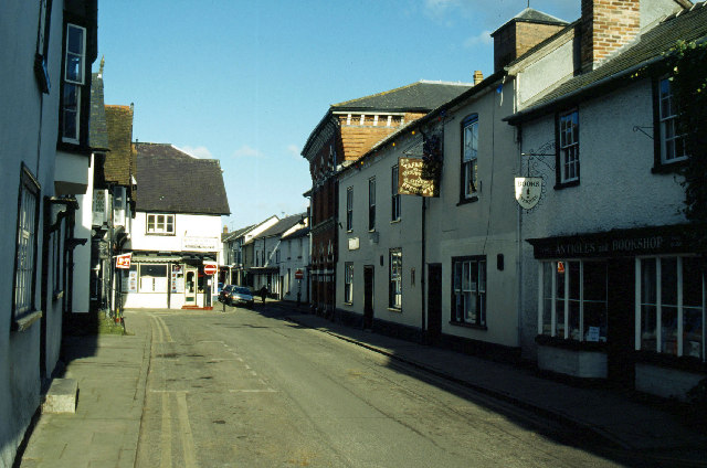
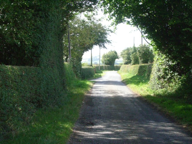
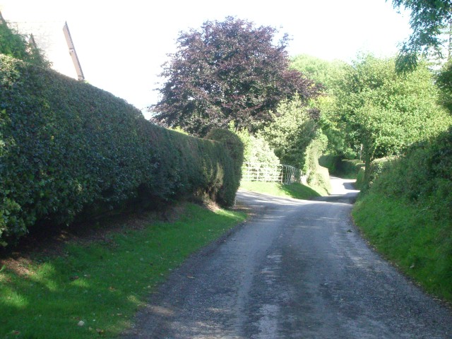
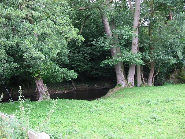
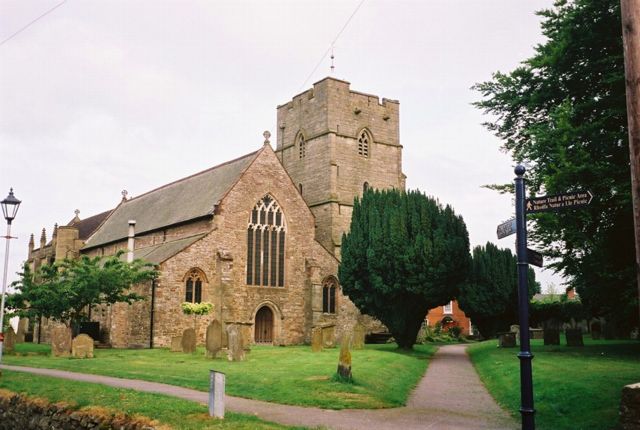
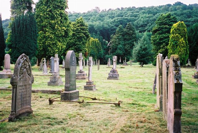
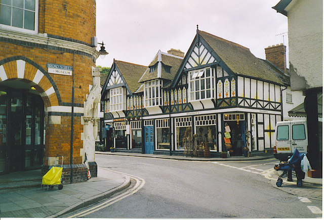
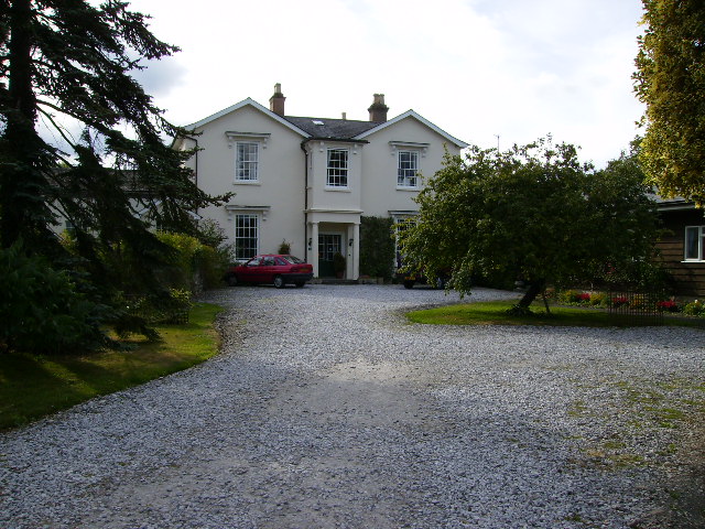
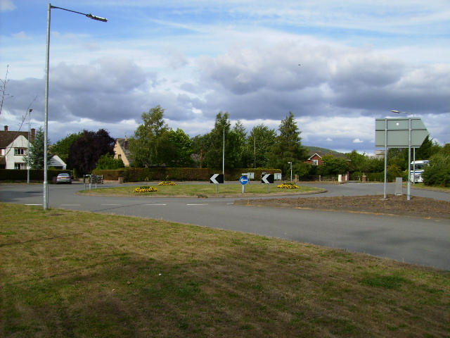
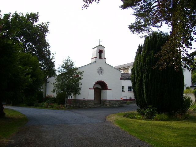
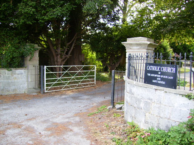
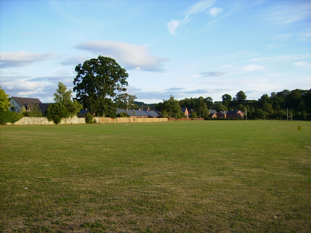
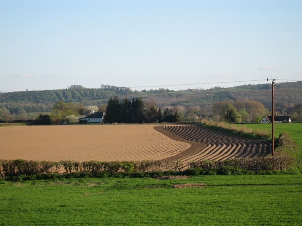
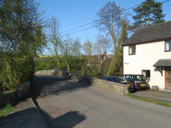
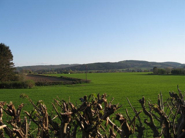
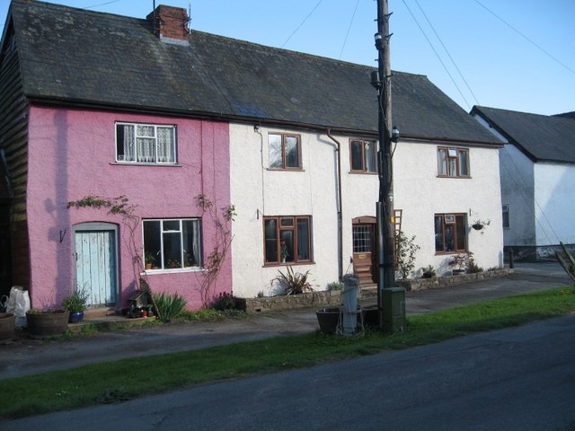
Wegnall Images

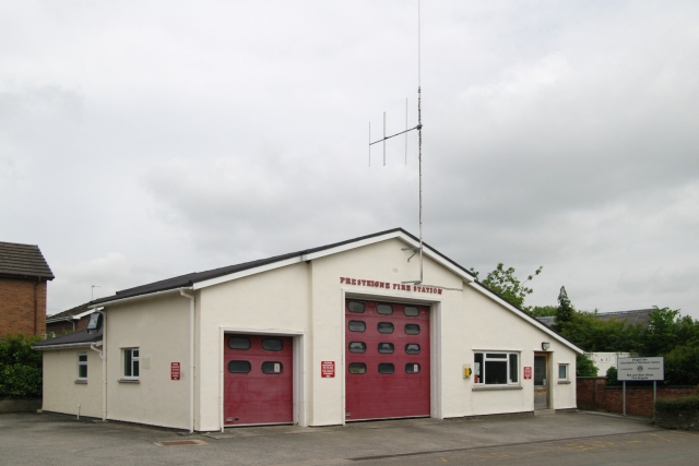
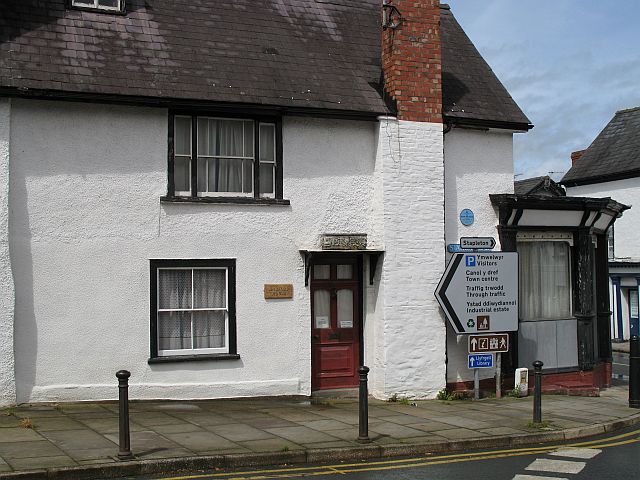
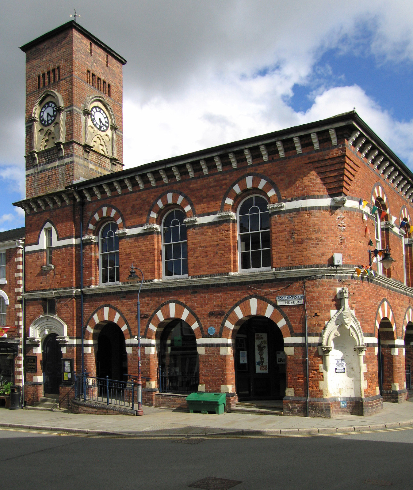
Images are sourced within 2km of 52.265/-2.988 or Grid Reference SO3263. Thanks to Geograph Open Source API. All images are credited.

Hereford Street, Presteigne
The lane between Stapleton and Lower Kinsham at Middlemoor
The lane between Stapleton and Lower Kinsham
at Middlemoor
The lane between Stapleton and Lower Kinsham near Moor Farm
The lane between Stapleton and Lower Kinsham
near Moor Farm
The Hindwell Brook near Combe The Hindwell runs across the centre of the square. The Welsh border is a few yards to the right
The Hindwell Brook near Combe
The Hindwell runs across the centre of the square. The Welsh border is a few yards to the right
St Andrew's Church, Presteigne. A view of St. Andrew's Church from Broad Street, Presteigne.
St Andrew's Church, Presteigne.
A view of St. Andrew's Church from Broad Street, Presteigne.
Looking North from Cemetery A view looking north towards Ffrith Wood from the cemetery sited on the English Bank of the River Lugg, Presteigne.
Looking North from Cemetery
A view looking north towards Ffrith Wood from the cemetery sited on the English Bank of the River Lugg, Presteigne.
Presteigne, Black and White Houses. A border town, once capital of Radnorshire. This building has interesting painted patterns on its upper floor.
Presteigne, Black and White Houses.
A border town, once capital of Radnorshire. This building has interesting painted patterns on its upper floor.
Carmel Court on the outskirts of Presteigne Formerly the Carmelite Monastery of Presteigne, Carmel Court stands at the Eastern entrance to this peaceful border town in the Marches of Wales. The house now caters for bed and breakfast and has secure storage for bicycles.
Carmel Court on the outskirts of Presteigne
Formerly the Carmelite Monastery of Presteigne, Carmel Court stands at the Eastern entrance to this peaceful border town in the Marches of Wales. The house now caters for bed and breakfast and has secure storage for bicycles.
Roundabout near Carmel Court Presteigne This is where the B4362 from Shobdon and Mortimer's Cross enters Presteigne.
Roundabout near Carmel Court Presteigne
This is where the B4362 from Shobdon and Mortimer's Cross enters Presteigne.
Carmelite Chapel on the outskirts of Presteigne This chapel was built by the Carmelite nuns themselves around 1950. It is now used as a Roman Catholic church on a regular basis. For more information see the weblink: <span class="nowrap"><a title="http://www.carmelcourt.co.uk/history.htm" rel="nofollow ugc noopener" href="http://www.carmelcourt.co.uk/history.htm">Link</a><img style="margin-left:2px;" alt="External link" title="External link - shift click to open in new window" src="https://s1.geograph.org.uk/img/external.png" width="10" height="10"/></span>
Carmelite Chapel on the outskirts of Presteigne
This chapel was built by the Carmelite nuns themselves around 1950. It is now used as a Roman Catholic church on a regular basis. For more information see the weblink: LinkExternal link
Gateway and entrance to the former Carmelite Chapel
Sports ground on the eastern edge of Presteigne
Ploughed Field on Spring Evening Between Stapleton and Presteigne
Ploughed Field on Spring Evening
Between Stapleton and Presteigne
Border Bridge The white cottage is the last one in Wales, and the half-timbered house in the centre is the first one in England...
Border Bridge
The white cottage is the last one in Wales, and the half-timbered house in the centre is the first one in England...
Herefordshire Landscape Looking south from Stapleton, towards the Welsh border one mile distant
Herefordshire Landscape
Looking south from Stapleton, towards the Welsh border one mile distant
Rendered timber-frame cottages In Presteigne, Powys.
Cottages were originally rendered for several reasons, principally fire-prevention.
This being a conservation area, all cottages in the street must therefore respect the same rules.
Rendered timber-frame cottages
In Presteigne, Powys. Cottages were originally rendered for several reasons, principally fire-prevention. This being a conservation area, all cottages in the street must therefore respect the same rules.
Presteigne Fire Station Presteigne Fire Station, Harpers Lane, Presteigne is part of the Mid & West Wales Fire & Rescue Service
Presteigne Fire Station
Presteigne Fire Station, Harpers Lane, Presteigne is part of the Mid & West Wales Fire & Rescue Service
Presteigne Street corner of Station Road and the High Street.
Presteigne
Street corner of Station Road and the High Street.
Show me another place!

Wegnall is located at Grid Ref: SO3263 (Lat: 52.265, Lng: -2.988)

Unitary Authority: Powys

Police Authority: Dyfed Powys

What 3 Words

///handwriting.shutting.segregate. Near Presteigne, Powys

Nearby Locations

Wegnall

Related Wikis

John Beddoes School

John Beddoes School was a secondary or comprehensive school for boys and girls. The school was based on one site in the town of Presteigne.It had a largely...

Presteign railway station

Presteign Railway Station was a railway station serving the town of Presteigne, Radnorshire, Wales. It was a terminus on the Leominster and Kington Railway...

Shire Hall, Presteigne

The Shire Hall is a municipal structure in Broad Street, Presteigne, Powys, Wales. The building incorporates a well-preserved courtroom and a museum known...

Assembly Rooms, Presteigne

The Assembly Rooms in Presteigne (Welsh: Ystafelloedd Cynnull Llanandras), formerly Presteigne Town Hall (Welsh: Neuadd y Dref Llanandras), is a municipal...

Nearby Amenities

Located within 500m of 52.265,-2.988
Wegnells House
Rooms: 3
Tourism: guest_house
Lat/Long: 52.2618489/-2.9931226
Power: pole
Lat/Long: 52.2633784/-2.9828692
Power: pole
Lat/Long: 52.2685967/-2.991235
Power: pole
Lat/Long: 52.2674198/-2.9904196
Power: pole
Lat/Long: 52.2639612/-2.9845885
Power: pole
Lat/Long: 52.2644766/-2.9860556
Power: pole
Lat/Long: 52.264961/-2.9874504
Power: pole
Lat/Long: 52.2663233/-2.9896605
Power: pole
Lat/Long: 52.2656585/-2.9891831
Power: pole
Lat/Long: 52.2648394/-2.9886091
Power: pole
Lat/Long: 52.2647245/-2.9885367
Power: pole
Lat/Long: 52.26167/-2.986393
Power: pole
Lat/Long: 52.2631819/-2.9874766
Direction: S
Generator Method: photovoltaic
Generator Output Electricity: yes
Generator Solar Modules: 16
Generator Source: solar
Generator Type: solar_photovoltaic_panel
Location: roof
Power: generator
Lat/Long: 52.2674932/-2.9868231
The data included in this document is from www.openstreetmap.org. The data is made available under ODbL.

Have you been to Wegnall?

Leave your review of Wegnall below (or comments, questions and feedback).