Bellbrae

Settlement in Fife

Scotland

Bellbrae

Flat farmland near the River Eden
Flat farmland near the River Eden Credit: JThomas

Bellbrae is a small village located in the county of Fife, Scotland. Situated approximately 4 miles northwest of the town of Cupar, it lies in the picturesque countryside of the East Neuk region. The village is characterized by its charming rural setting, surrounded by rolling hills, lush farmland, and stunning views of the Firth of Tay.

Bellbrae is a close-knit community with a population of around 300 residents. The village is predominantly residential, with a scattering of traditional stone houses and cottages, giving it a quaint and timeless appeal. The local residents primarily engage in agriculture and farming, contributing to the village's authentic rural atmosphere.

Although relatively small, Bellbrae offers some amenities to its residents and visitors. The village has a small primary school, providing education for the local children. Additionally, there is a local pub, where locals and visitors alike can gather for a drink and enjoy the warm hospitality the village is known for.

Nature enthusiasts will find plenty to explore in the surrounding area. The countryside offers scenic walking routes, allowing visitors to soak in the tranquility of the countryside and enjoy the stunning views. The nearby Firth of Tay provides opportunities for fishing and boating, attracting outdoor enthusiasts and anglers.

In summary, Bellbrae is a quaint and peaceful village in Fife, Scotland. Its idyllic countryside setting, friendly community, and access to nature make it an appealing destination for those seeking a break from the hustle and bustle of city life.

If you have any feedback on the listing, please let us know in the comments section below.
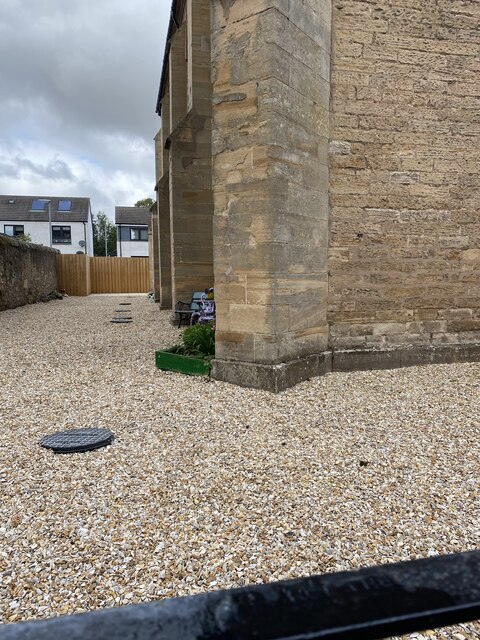
Bellbrae Images

Images are sourced within 2km of 56.305215/-3.0197593 or Grid Reference NO3713. Thanks to Geograph Open Source API. All images are credited.

Flat farmland near the River Eden
Crop field near Damside Towards the River Eden.
Crop field near Damside
Towards the River Eden.
Crop field near Cupar Muir
Farmland, Cupar Mills
Cupar Railway Station The railway station at Cupar, viewed from the A914 bridge to the south.
Cupar Railway Station
The railway station at Cupar, viewed from the A914 bridge to the south.
Cupar Cemetery Looking westwards over to the newer section of Cupar Cemetery.
Cupar Cemetery
Looking westwards over to the newer section of Cupar Cemetery.
Van on roof Old delivery van on the roof of Fisher & Donaldson's Tearoom in Cupar.
Van on roof
Old delivery van on the roof of Fisher & Donaldson's Tearoom in Cupar.
Cupar Golf Course Looking over the nine hole Cupar Golf Course, on the north slope of the Hill of Tarvit, from the clubhouse area.
Cupar Golf Course
Looking over the nine hole Cupar Golf Course, on the north slope of the Hill of Tarvit, from the clubhouse area.
Highest point of Cupar Golf Course The view from the highest point of the golf course at Cupar from the seventh tee.
Highest point of Cupar Golf Course
The view from the highest point of the golf course at Cupar from the seventh tee.
The Moor Road The path over Ceres Moor heading towards Cupar from Ceres.
The Moor Road
The path over Ceres Moor heading towards Cupar from Ceres.
Tarvit Farm Steeple A view from the south of the steeple of the old stables at Tarvit Farm.
Tarvit Farm Steeple
A view from the south of the steeple of the old stables at Tarvit Farm.
Tesco Cupar
Tesco Cupar
Location of Cut Mark: Cupar, former Church <span class="nowrap"><a title="https://www.bench-marks.org.uk/bm69496" rel="nofollow ugc noopener" href="https://www.bench-marks.org.uk/bm69496">Link</a><img style="margin-left:2px;" alt="External link" title="External link - shift click to open in new window" src="https://s1.geograph.org.uk/img/external.png" width="10" height="10"/></span>
Location of Cut Mark: Cupar, former Church
Former Church Junction North Union Street Cupar <span class="nowrap"><a title="http://www.scottishchurches.org.uk/sites/site/id/8408/name/St.+Michael%27s+Chapel+of+Ease+Cupar+Fife" rel="nofollow ugc noopener" href="http://www.scottishchurches.org.uk/sites/site/id/8408/name/St.+Michael%27s+Chapel+of+Ease+Cupar+Fife">Link</a><img style="margin-left:2px;" alt="External link" title="External link - shift click to open in new window" src="https://s1.geograph.org.uk/img/external.png" width="10" height="10"/></span>
Former Church Junction North Union Street Cupar
OS Cut Mark: Cupar, former church <span class="nowrap"><a title="https://www.bench-marks.org.uk/bm69496" rel="nofollow ugc noopener" href="https://www.bench-marks.org.uk/bm69496">Link</a><img style="margin-left:2px;" alt="External link" title="External link - shift click to open in new window" src="https://s1.geograph.org.uk/img/external.png" width="10" height="10"/></span>
OS Cut Mark: Cupar, former church
St Johns Church, Cupar
OS Cut Mark - Cupar Baptist Church <span class="nowrap"><a title="https://www.bench-marks.org.uk/bm94702" rel="nofollow ugc noopener" href="https://www.bench-marks.org.uk/bm94702">Link</a><img style="margin-left:2px;" alt="External link" title="External link - shift click to open in new window" src="https://s1.geograph.org.uk/img/external.png" width="10" height="10"/></span>
OS Cut Mark - Cupar Baptist Church
Close up of OS Cut Mark - Cupar Baptist Church <span class="nowrap"><a title="https://www.bench-marks.org.uk/bm94702" rel="nofollow ugc noopener" href="https://www.bench-marks.org.uk/bm94702">Link</a><img style="margin-left:2px;" alt="External link" title="External link - shift click to open in new window" src="https://s1.geograph.org.uk/img/external.png" width="10" height="10"/></span>
Close up of OS Cut Mark - Cupar Baptist Church
Show me another place!

Bellbrae is located at Grid Ref: NO3713 (Lat: 56.305215, Lng: -3.0197593)

Unitary Authority: Fife

Police Authority: Fife

What 3 Words

///pupils.sweat.ballpoint. Near Cupar, Fife

Nearby Locations

Bellbrae

Related Wikis

Cupar Muir

Cupar Muir or Cuparmuir is a hamlet or small village situated just outside the town of Cupar, Fife. Lying around 25.5 miles (41 km) north of Edinburgh...

Hill of Tarvit

The Hill of Tarvit is a 20th-century mansion house and gardens in Fife, Scotland. They were designed by Sir Robert Lorimer and are today owned by the National...

Bell Baxter High School

Bell Baxter High School is a non-denominational comprehensive school for 11 to 18 year olds in Cupar, Fife, Scotland. Founded in 1889, it educates over...

Cupar railway station

Cupar railway station is a railway station that serves the town of Cupar in Fife, Scotland. The station has two platforms, of which the southbound one...

Related Videos

🏴󠁧󠁢󠁳󠁣󠁴󠁿 Scotland's Oldest Market Town, Exploring Cupar

In the heart of Fife, Scotland sits the ancient market town of Cupar. A former royal burgh and parish, it lies between Dundee and ...

Nearby Amenities

Located within 500m of 56.305215,-3.0197593
Material: wood
Power: pole
Lat/Long: 56.30494/-3.0252546
Power: pole
Lat/Long: 56.3055105/-3.0267645
Power: pole
Lat/Long: 56.3079984/-3.0255452
Power: pole
Lat/Long: 56.307857/-3.0239186
Power: pole
Lat/Long: 56.3076826/-3.0223665
Power: pole
Lat/Long: 56.3075122/-3.0208434
Material: wood
Power: pole
Lat/Long: 56.3073696/-3.0195311
Material: wood
Power: pole
Lat/Long: 56.3066831/-3.0178217
Material: wood
Power: pole
Lat/Long: 56.3060069/-3.0161593
Material: wood
Power: pole
Lat/Long: 56.3067123/-3.0148678
Material: wood
Power: pole
Lat/Long: 56.3074086/-3.013541
Material: wood
Power: pole
Lat/Long: 56.3043652/-3.0239019
Power: pole
Lat/Long: 56.302996/-3.0204418
Power: pole
Lat/Long: 56.3026355/-3.0188889
Material: wood
Power: pole
Lat/Long: 56.3037943/-3.0225768
Material: wood
Power: pole
Lat/Long: 56.3033441/-3.0213915
Power: pole
Lat/Long: 56.3022941/-3.0174331
Power: pole
Lat/Long: 56.3019308/-3.0159482
Power: pole
Lat/Long: 56.3080316/-3.0192928
Power: pole
Lat/Long: 56.3084301/-3.0186107
Power: pole
Lat/Long: 56.3088456/-3.0179152
Power: pole
Lat/Long: 56.309259/-3.0172273
Power: pole
Lat/Long: 56.3070475/-3.020735
Power: pole
Lat/Long: 56.3075638/-3.0200997
Power: pole
Lat/Long: 56.307201/-3.0215001
The data included in this document is from www.openstreetmap.org. The data is made available under ODbL.

Have you been to Bellbrae?

Leave your review of Bellbrae below (or comments, questions and feedback).