Turville Schoolhouse

Heritage Site in Buckinghamshire

England

Turville Schoolhouse

Old Crown Cottage Skirmett is a hamlet in the parish of Hambleden, in Buckinghamshire. It lies in the Hambleden Valley in the Chiltern Hills, between the villages of Hambleden and Fingest.
The simple flint church of All Saints dated from the mid-19th century and has now been deconsecrated and converted into a private house.
There is a line of brick and timber-framed cottages along one side of the road and just the one public house, The Frog, formerly known as The Kings Arms.
Old Crown Cottage Credit: N Chadwick

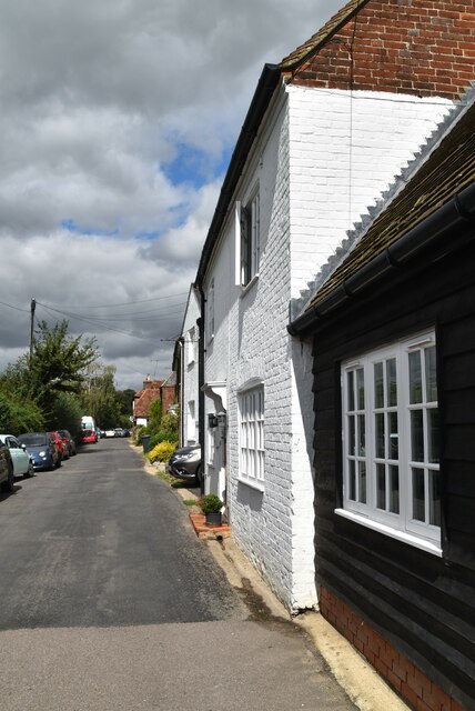
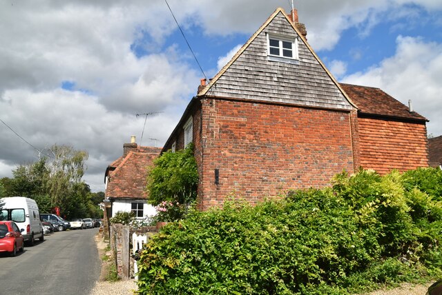
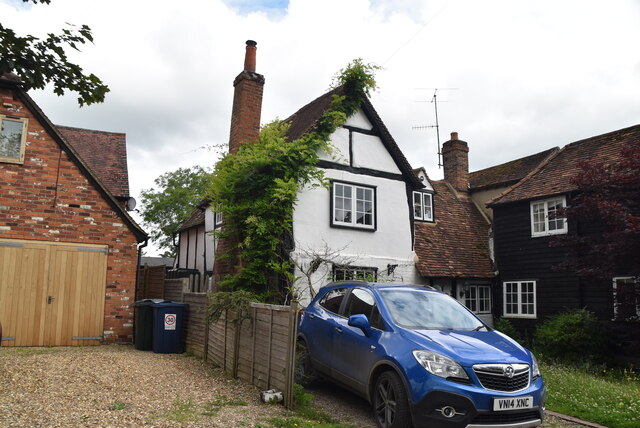
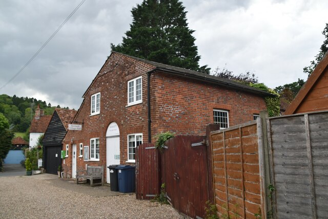
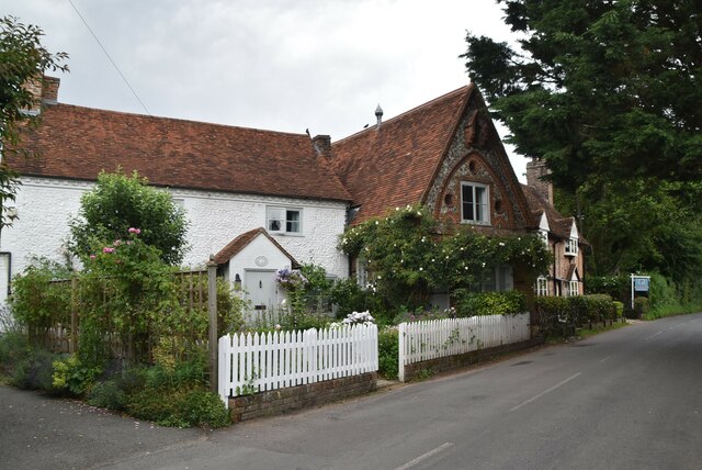
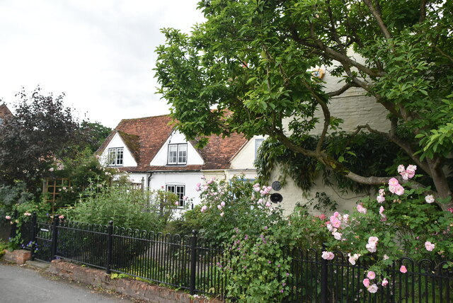
Turville Schoolhouse, located in the picturesque village of Turville in Buckinghamshire, is a historical heritage site that offers visitors a unique glimpse into the past. The schoolhouse, built in the 19th century, was originally established as a village school to educate the children of the local community.

This charming building, made of red brick and adorned with a traditional slate roof, has retained much of its original architectural features. Its small size and simple design reflect the modest rural schools of the era. Inside, the schoolhouse consists of a single classroom, complete with original wooden desks, blackboards, and a teacher's desk at the front.

Today, Turville Schoolhouse stands as a testament to the educational practices of the past. It offers visitors the opportunity to step back in time and experience the atmosphere of a bygone era. The preserved interior provides a fascinating insight into the daily lives of both teachers and students.

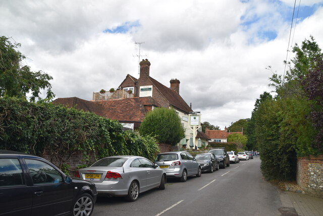
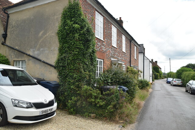
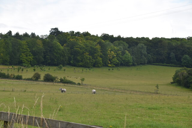
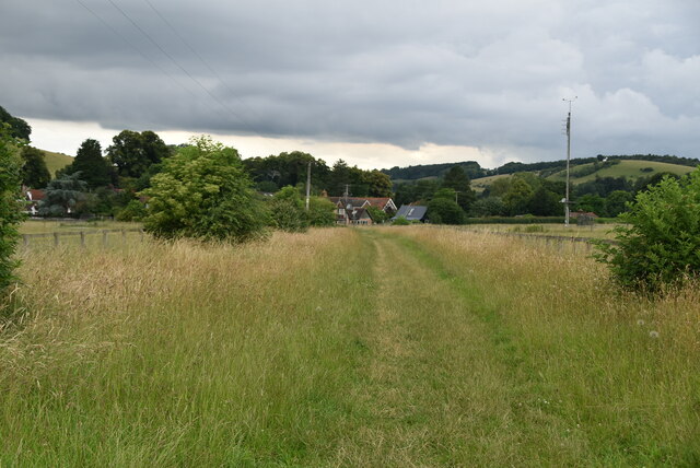
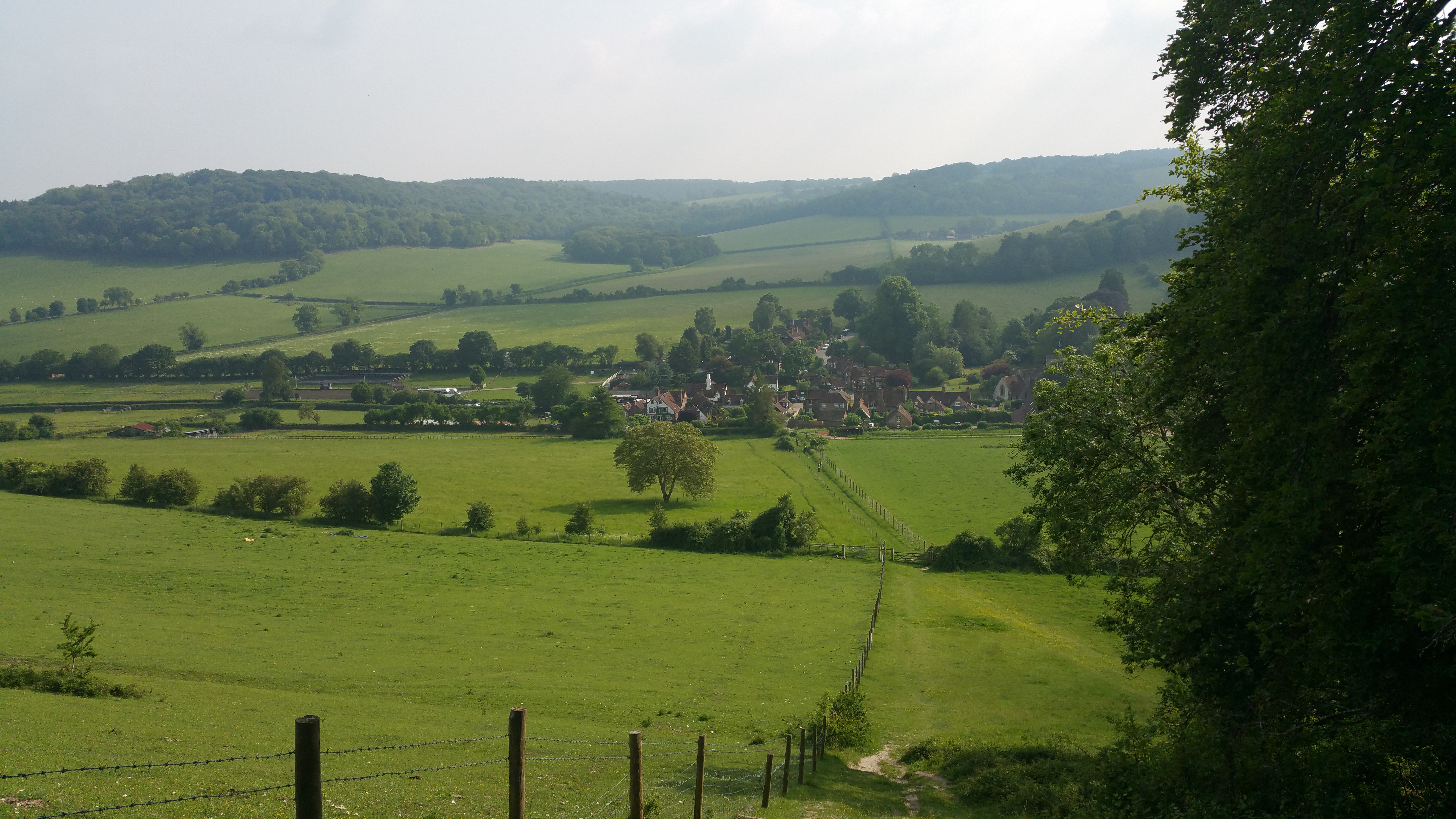
Surrounded by the rolling hills and lush greenery of the Chiltern Hills, the schoolhouse is set in a picturesque location. The village of Turville itself has been used as a filming location for several well-known movies and TV shows, adding to its appeal as a tourist destination.

Turville Schoolhouse, with its historical significance and rural charm, is a must-visit destination for history enthusiasts, educational researchers, and those seeking a tranquil retreat in the heart of Buckinghamshire.

If you have any feedback on the listing, please let us know in the comments section below.

Turville Schoolhouse Images

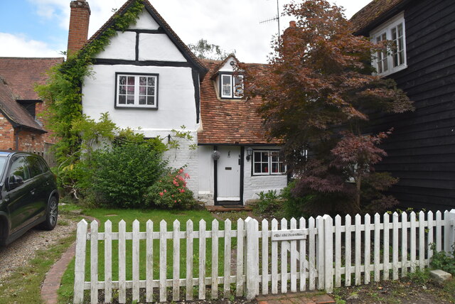
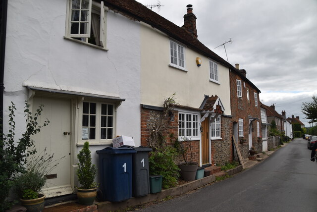
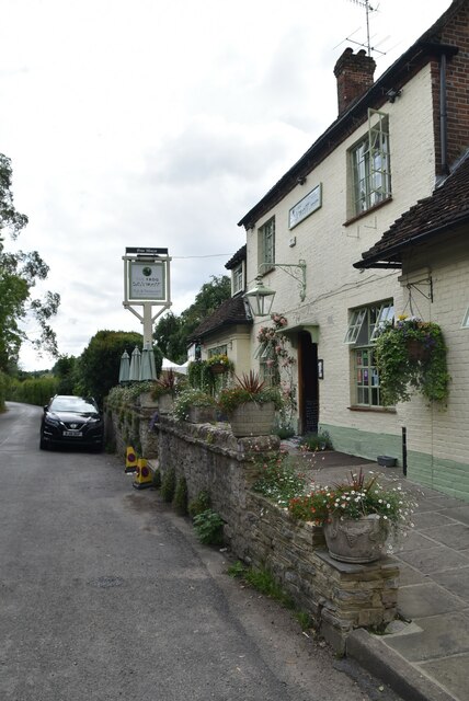
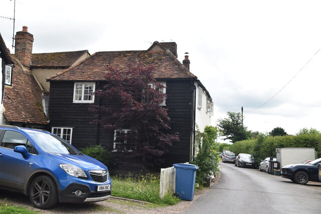
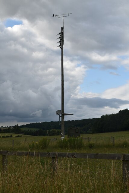
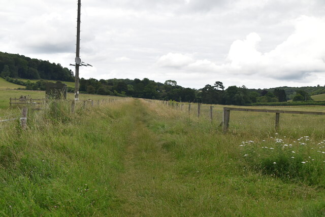
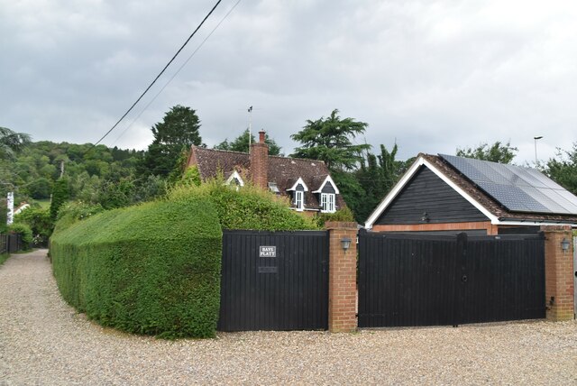
Images are sourced within 2km of 51.614/-0.893 or Grid Reference SU7691. Thanks to Geograph Open Source API. All images are credited.

Old Crown Cottage Skirmett is a hamlet in the parish of Hambleden, in Buckinghamshire. It lies in the Hambleden Valley in the Chiltern Hills, between the villages of Hambleden and Fingest.
The simple flint church of All Saints dated from the mid-19th century and has now been deconsecrated and converted into a private house.
There is a line of brick and timber-framed cottages along one side of the road and just the one public house, The Frog, formerly known as The Kings Arms.
Old Crown Cottage
Skirmett is a hamlet in the parish of Hambleden, in Buckinghamshire. It lies in the Hambleden Valley in the Chiltern Hills, between the villages of Hambleden and Fingest. The simple flint church of All Saints dated from the mid-19th century and has now been deconsecrated and converted into a private house. There is a line of brick and timber-framed cottages along one side of the road and just the one public house, The Frog, formerly known as The Kings Arms.
Woodlea Skirmett is a hamlet in the parish of Hambleden, in Buckinghamshire. It lies in the Hambleden Valley in the Chiltern Hills, between the villages of Hambleden and Fingest.
The simple flint church of All Saints dated from the mid-19th century and has now been deconsecrated and converted into a private house.
There is a line of brick and timber-framed cottages along one side of the road and just the one public house, The Frog, formerly known as The Kings Arms.
Woodlea
Skirmett is a hamlet in the parish of Hambleden, in Buckinghamshire. It lies in the Hambleden Valley in the Chiltern Hills, between the villages of Hambleden and Fingest. The simple flint church of All Saints dated from the mid-19th century and has now been deconsecrated and converted into a private house. There is a line of brick and timber-framed cottages along one side of the road and just the one public house, The Frog, formerly known as The Kings Arms.
Telephone box, Skirmett Listed buildings and structures are officially designated as being of special architectural, historical or cultural significance. There are over half a million listed structures in the United Kingdom, covered by around 375,000 listings.
Listed status is more commonly associated with buildings or groups of buildings, however it can cover many other structures, including bridges, headstones, steps, ponds, monuments, walls, phone boxes, wrecks, parks, and heritage sites, and in more recent times a road crossing (Abbey Road) and graffiti art (Banksy 'Spy-booth') have been included.

In England and Wales there are three main listing designations;
Grade I (2.5%) - exceptional interest, sometimes considered to be internationally important.
Grade II* (5.5%) - particularly important buildings of more than special interest. 
Grade II (92%) - nationally important and of special interest. 

There are also locally listed structures (at the discretion of local authorities) using A, B and C designations.

In Scotland three classifications are also used but the criteria are different. There are around 47,500 Listed buildings.
Category A (8%)- generally equivalent to Grade I and II* in England and Wales
Category B (51%)- this appears generally to cover the ground of Grade II, recognising national importance.
Category C (41%)- buildings of local importance, probably with some overlap with English Grade II.

In Northern Ireland the criteria are similar to Scotland, but the classifications are:
Grade A (2.3%)
Grade B+ (4.7%)
Grade B (93%)

Read more at Wikipedia <span class="nowrap"><a title="http://en.wikipedia.org/wiki/Listed_building" rel="nofollow ugc noopener" href="http://en.wikipedia.org/wiki/Listed_building">Link</a><img style="margin-left:2px;" alt="External link" title="External link - shift click to open in new window" src="https://s1.geograph.org.uk/img/external.png" width="10" height="10"/></span>
Telephone box, Skirmett
Listed buildings and structures are officially designated as being of special architectural, historical or cultural significance. There are over half a million listed structures in the United Kingdom, covered by around 375,000 listings. Listed status is more commonly associated with buildings or groups of buildings, however it can cover many other structures, including bridges, headstones, steps, ponds, monuments, walls, phone boxes, wrecks, parks, and heritage sites, and in more recent times a road crossing (Abbey Road) and graffiti art (Banksy 'Spy-booth') have been included. In England and Wales there are three main listing designations; Grade I (2.5%) - exceptional interest, sometimes considered to be internationally important. Grade II* (5.5%) - particularly important buildings of more than special interest. Grade II (92%) - nationally important and of special interest. There are also locally listed structures (at the discretion of local authorities) using A, B and C designations. In Scotland three classifications are also used but the criteria are different. There are around 47,500 Listed buildings. Category A (8%)- generally equivalent to Grade I and II* in England and Wales Category B (51%)- this appears generally to cover the ground of Grade II, recognising national importance. Category C (41%)- buildings of local importance, probably with some overlap with English Grade II. In Northern Ireland the criteria are similar to Scotland, but the classifications are: Grade A (2.3%) Grade B+ (4.7%) Grade B (93%) Read more at Wikipedia LinkExternal link
The Frog Inn Skirmett is a hamlet in the parish of Hambleden, in Buckinghamshire. It lies in the Hambleden Valley in the Chiltern Hills, between the villages of Hambleden and Fingest.
The simple flint church of All Saints dated from the mid-19th century and has now been deconsecrated and converted into a private house.
There is a line of brick and timber-framed cottages along one side of the road and just the one public house, The Frog, formerly known as The Kings Arms.
The Frog Inn
Skirmett is a hamlet in the parish of Hambleden, in Buckinghamshire. It lies in the Hambleden Valley in the Chiltern Hills, between the villages of Hambleden and Fingest. The simple flint church of All Saints dated from the mid-19th century and has now been deconsecrated and converted into a private house. There is a line of brick and timber-framed cottages along one side of the road and just the one public house, The Frog, formerly known as The Kings Arms.
The Old Post Office Skirmett is a hamlet in the parish of Hambleden, in Buckinghamshire. It lies in the Hambleden Valley in the Chiltern Hills, between the villages of Hambleden and Fingest.
The simple flint church of All Saints dated from the mid-19th century and has now been deconsecrated and converted into a private house.
There is a line of brick and timber-framed cottages along one side of the road and just the one public house, The Frog, formerly known as The Kings Arms.
The Old Post Office
Skirmett is a hamlet in the parish of Hambleden, in Buckinghamshire. It lies in the Hambleden Valley in the Chiltern Hills, between the villages of Hambleden and Fingest. The simple flint church of All Saints dated from the mid-19th century and has now been deconsecrated and converted into a private house. There is a line of brick and timber-framed cottages along one side of the road and just the one public house, The Frog, formerly known as The Kings Arms.
Cottages, Skirmett Skirmett is a hamlet in the parish of Hambleden, in Buckinghamshire. It lies in the Hambleden Valley in the Chiltern Hills, between the villages of Hambleden and Fingest.
The simple flint church of All Saints dated from the mid-19th century and has now been deconsecrated and converted into a private house.
There is a line of brick and timber-framed cottages along one side of the road and just the one public house, The Frog, formerly known as The Kings Arms.
Cottages, Skirmett
Skirmett is a hamlet in the parish of Hambleden, in Buckinghamshire. It lies in the Hambleden Valley in the Chiltern Hills, between the villages of Hambleden and Fingest. The simple flint church of All Saints dated from the mid-19th century and has now been deconsecrated and converted into a private house. There is a line of brick and timber-framed cottages along one side of the road and just the one public house, The Frog, formerly known as The Kings Arms.
The Frog Inn Skirmett is a hamlet in the parish of Hambleden, in Buckinghamshire. It lies in the Hambleden Valley in the Chiltern Hills, between the villages of Hambleden and Fingest.
The simple flint church of All Saints dated from the mid-19th century and has now been deconsecrated and converted into a private house.
There is a line of brick and timber-framed cottages along one side of the road and just the one public house, The Frog, formerly known as The Kings Arms.
The Frog Inn
Skirmett is a hamlet in the parish of Hambleden, in Buckinghamshire. It lies in the Hambleden Valley in the Chiltern Hills, between the villages of Hambleden and Fingest. The simple flint church of All Saints dated from the mid-19th century and has now been deconsecrated and converted into a private house. There is a line of brick and timber-framed cottages along one side of the road and just the one public house, The Frog, formerly known as The Kings Arms.
Cottages, Skirmett Skirmett is a hamlet in the parish of Hambleden, in Buckinghamshire. It lies in the Hambleden Valley in the Chiltern Hills, between the villages of Hambleden and Fingest.
The simple flint church of All Saints dated from the mid-19th century and has now been deconsecrated and converted into a private house.
There is a line of brick and timber-framed cottages along one side of the road and just the one public house, The Frog, formerly known as The Kings Arms.
Cottages, Skirmett
Skirmett is a hamlet in the parish of Hambleden, in Buckinghamshire. It lies in the Hambleden Valley in the Chiltern Hills, between the villages of Hambleden and Fingest. The simple flint church of All Saints dated from the mid-19th century and has now been deconsecrated and converted into a private house. There is a line of brick and timber-framed cottages along one side of the road and just the one public house, The Frog, formerly known as The Kings Arms.
The Old Post Office Cottage Skirmett is a hamlet in the parish of Hambleden, in Buckinghamshire. It lies in the Hambleden Valley in the Chiltern Hills, between the villages of Hambleden and Fingest.
The simple flint church of All Saints dated from the mid-19th century and has now been deconsecrated and converted into a private house.
There is a line of brick and timber-framed cottages along one side of the road and just the one public house, The Frog, formerly known as The Kings Arms.
The Old Post Office Cottage
Skirmett is a hamlet in the parish of Hambleden, in Buckinghamshire. It lies in the Hambleden Valley in the Chiltern Hills, between the villages of Hambleden and Fingest. The simple flint church of All Saints dated from the mid-19th century and has now been deconsecrated and converted into a private house. There is a line of brick and timber-framed cottages along one side of the road and just the one public house, The Frog, formerly known as The Kings Arms.
Row of cottages Skirmett is a hamlet in the parish of Hambleden, in Buckinghamshire. It lies in the Hambleden Valley in the Chiltern Hills, between the villages of Hambleden and Fingest.
The simple flint church of All Saints dated from the mid-19th century and has now been deconsecrated and converted into a private house.
There is a line of brick and timber-framed cottages along one side of the road and just the one public house, The Frog, formerly known as The Kings Arms.
Row of cottages
Skirmett is a hamlet in the parish of Hambleden, in Buckinghamshire. It lies in the Hambleden Valley in the Chiltern Hills, between the villages of Hambleden and Fingest. The simple flint church of All Saints dated from the mid-19th century and has now been deconsecrated and converted into a private house. There is a line of brick and timber-framed cottages along one side of the road and just the one public house, The Frog, formerly known as The Kings Arms.
Chiltern Hills farmland
The Chiltern Way Created by the Chiltern Society as its Millennium Project, the Way originally took in all of the Chilterns from north to south across the Chilterns Area of Outstanding Natural Beauty, in a 125-miles circuit extending from Ewelme in the south west, Chorleywood in the south east and Sharpenhoe Clappers and Great Offley in the north east. It was based on an earlier unofficial route, the Chiltern Hundred.
The Way passes through some of the most attractive parts of the Chilterns, including the Bovingdon Plateau, the Chess valley, the Misbourne valley, Penn Country, the Hambleden valley, Stonor Park, Ewelme, Swyncombe Down, Bledlow Ridge, Hampden Country, Bulbourne valley and Dunstable Down.
The original 200km (125 miles) Way took in Hemel via Chalfont St Giles, the edge of Marlow, Hambleden, Bix Bottom, Ewelme, the Ridgeway, Stokenchurch, Great Hampden, Aldbury, the Dunstable Downs, Sharpenhoe Clappers and Harpenden.
Two extensions have been added in 2003: the southern adds a loop of 50km (35 miles) from Bix Bottom via Mapledurham on the Thames and the northern extension 44km (27 miles) from Sharpenhoe Clappers via the Icknield Way and the outskirts of Hitchin. A short cut from Bix Bottom creates a 16km (10 miles) loop via Ewelme.
Although officially starting at Hemel Hempstead Station, the walk can be started at many other places on the route. The Way also has links with other routes including Chiltern Heritage Trail, Ridgeway National Trail, Icknield Way Path, Oxfordshire, Swan's and South Bucks Ways and Grand Union Canal, Lea Valley and Chess Valley Walks.
The Chiltern Way
Created by the Chiltern Society as its Millennium Project, the Way originally took in all of the Chilterns from north to south across the Chilterns Area of Outstanding Natural Beauty, in a 125-miles circuit extending from Ewelme in the south west, Chorleywood in the south east and Sharpenhoe Clappers and Great Offley in the north east. It was based on an earlier unofficial route, the Chiltern Hundred. The Way passes through some of the most attractive parts of the Chilterns, including the Bovingdon Plateau, the Chess valley, the Misbourne valley, Penn Country, the Hambleden valley, Stonor Park, Ewelme, Swyncombe Down, Bledlow Ridge, Hampden Country, Bulbourne valley and Dunstable Down. The original 200km (125 miles) Way took in Hemel via Chalfont St Giles, the edge of Marlow, Hambleden, Bix Bottom, Ewelme, the Ridgeway, Stokenchurch, Great Hampden, Aldbury, the Dunstable Downs, Sharpenhoe Clappers and Harpenden. Two extensions have been added in 2003: the southern adds a loop of 50km (35 miles) from Bix Bottom via Mapledurham on the Thames and the northern extension 44km (27 miles) from Sharpenhoe Clappers via the Icknield Way and the outskirts of Hitchin. A short cut from Bix Bottom creates a 16km (10 miles) loop via Ewelme. Although officially starting at Hemel Hempstead Station, the walk can be started at many other places on the route. The Way also has links with other routes including Chiltern Heritage Trail, Ridgeway National Trail, Icknield Way Path, Oxfordshire, Swan's and South Bucks Ways and Grand Union Canal, Lea Valley and Chess Valley Walks.
Bays Platt Skirmett is a hamlet in the parish of Hambleden, in Buckinghamshire. It lies in the Hambleden Valley in the Chiltern Hills, between the villages of Hambleden and Fingest.
The simple flint church of All Saints dated from the mid-19th century and has now been deconsecrated and converted into a private house.
There is a line of brick and timber-framed cottages along one side of the road and just the one public house, The Frog, formerly known as The Kings Arms.
Bays Platt
Skirmett is a hamlet in the parish of Hambleden, in Buckinghamshire. It lies in the Hambleden Valley in the Chiltern Hills, between the villages of Hambleden and Fingest. The simple flint church of All Saints dated from the mid-19th century and has now been deconsecrated and converted into a private house. There is a line of brick and timber-framed cottages along one side of the road and just the one public house, The Frog, formerly known as The Kings Arms.
Skirmett Village Hall Skirmett is a hamlet in the parish of Hambleden, in Buckinghamshire. It lies in the Hambleden Valley in the Chiltern Hills, between the villages of Hambleden and Fingest.
The simple flint church of All Saints dated from the mid-19th century and has now been deconsecrated and converted into a private house.
There is a line of brick and timber-framed cottages along one side of the road and just the one public house, The Frog, formerly known as The Kings Arms.
Skirmett Village Hall
Skirmett is a hamlet in the parish of Hambleden, in Buckinghamshire. It lies in the Hambleden Valley in the Chiltern Hills, between the villages of Hambleden and Fingest. The simple flint church of All Saints dated from the mid-19th century and has now been deconsecrated and converted into a private house. There is a line of brick and timber-framed cottages along one side of the road and just the one public house, The Frog, formerly known as The Kings Arms.
The Old School House Skirmett is a hamlet in the parish of Hambleden, in Buckinghamshire. It lies in the Hambleden Valley in the Chiltern Hills, between the villages of Hambleden and Fingest.
The simple flint church of All Saints dated from the mid-19th century and has now been deconsecrated and converted into a private house.
There is a line of brick and timber-framed cottages along one side of the road and just the one public house, The Frog, formerly known as The Kings Arms.
The Old School House
Skirmett is a hamlet in the parish of Hambleden, in Buckinghamshire. It lies in the Hambleden Valley in the Chiltern Hills, between the villages of Hambleden and Fingest. The simple flint church of All Saints dated from the mid-19th century and has now been deconsecrated and converted into a private house. There is a line of brick and timber-framed cottages along one side of the road and just the one public house, The Frog, formerly known as The Kings Arms.
The Old Crown House Skirmett is a hamlet in the parish of Hambleden, in Buckinghamshire. It lies in the Hambleden Valley in the Chiltern Hills, between the villages of Hambleden and Fingest.
The simple flint church of All Saints dated from the mid-19th century and has now been deconsecrated and converted into a private house.
There is a line of brick and timber-framed cottages along one side of the road and just the one public house, The Frog, formerly known as The Kings Arms.
The Old Crown House
Skirmett is a hamlet in the parish of Hambleden, in Buckinghamshire. It lies in the Hambleden Valley in the Chiltern Hills, between the villages of Hambleden and Fingest. The simple flint church of All Saints dated from the mid-19th century and has now been deconsecrated and converted into a private house. There is a line of brick and timber-framed cottages along one side of the road and just the one public house, The Frog, formerly known as The Kings Arms.
Show me another place!

Turville Schoolhouse is located at Grid Ref: SU7691 (Lat: 51.614, Lng: -0.893)

Unitary Authority: Buckinghamshire

Police Authority: Thames Valley

What 3 Words

///clip.scariest.social. Near Stokenchurch, Buckinghamshire

Related Wikis

Turville

Turville is a village and civil parish in Buckinghamshire, England. It is in the Chiltern Hills, 5 miles (8.0 km) west of High Wycombe, 6 miles (9.7 km...

St Mary the Virgin Church, Turville

The Church of St Mary the Virgin is a 12th century English church located in Turville, Buckinghamshire, England. The Church will be closed from March to...

Turville Hill

Turville Hill is a 22.4-hectare (55-acre) biological Site of Special Scientific Interest in Turville in Buckinghamshire. It is in the Chilterns Area of...

Cobstone Windmill

Cobstone Mill was built around 1816 on Turville Hill in Buckinghamshire, England, and overlooks the village of Turville. It is a smock mill that replaced...

Nearby Amenities

Located within 500m of 51.614,-0.893
Turville
Place: village
Lat/Long: 51.6138294/-0.8929779
Cobstone Mill
Building: yes
Disused: yes
Man Made: windmill
Note: Used as the home of Caractacus Potts and his family in the movie "Chitty Chitty Bang Bang".
Wikidata: Q5139009
Lat/Long: 51.6170325/-0.8895758
Post Box
Operator: Royal Mail
Post Box Type: lamp
Ref: RG9 18
Royal Cypher: EIIR
Royal Cypher Wikidata: Q33102113
Lat/Long: 51.6136212/-0.8928445
Defibrillator
Booth: K6
Colour: red
Covered: booth
Defibrillator Location: inside red telephone box in centre of Turville
Disused Amenity: telephone
Emergency: defibrillator
Listed Status: Grade II
Man Made: telephone_box
Note: Here a common phonebox is equipped with an Automated External Defibrillator .
Source: survey
Lat/Long: 51.6136327/-0.8928966
Barrier: stile
Foot: yes
Lat/Long: 51.6138703/-0.8890186
Barrier: kissing_gate
Foot: yes
Lat/Long: 51.6143395/-0.8922265
Entrance: main
Lat/Long: 51.6139469/-0.8937129
Barrier: bollard
Lat/Long: 51.6115974/-0.8875859
Bench
Lat/Long: 51.6137725/-0.8931949
Bench
Lat/Long: 51.6136443/-0.892938
Barrier: stile
Lat/Long: 51.6112951/-0.8957424
Bench
Backrest: yes
Material: wood
Seats: 3
Lat/Long: 51.6132064/-0.8982458
Barrier: kissing_gate
Bicycle: no
Foot: yes
Lat/Long: 51.6148468/-0.8943482
Power: pole
Source: Bing
Lat/Long: 51.6132034/-0.8967724
Power: pole
Source: Bing
Lat/Long: 51.6135249/-0.8871861
Barrier: kissing_gate
Lat/Long: 51.6173716/-0.8897237
Barrier: kissing_gate
Lat/Long: 51.6117136/-0.8879248
Power: pole
Lat/Long: 51.6139037/-0.8888116
The data included in this document is from www.openstreetmap.org. The data is made available under ODbL.

Have you been to Turville Schoolhouse?

Leave your review of Turville Schoolhouse below (or comments, questions and feedback).