Tudor House
Heritage Site in Herefordshire
England
Tudor House

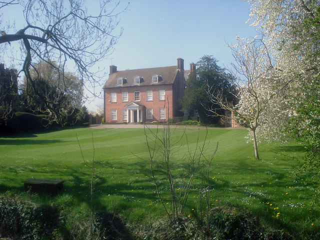
Tudor House, located in Herefordshire, is a historic heritage site that provides visitors a glimpse into the rich Tudor history of the region. Built in the late 16th century, the house stands as a fine example of Tudor architecture, showcasing the distinctive half-timbered construction style that was popular during that era.
The house features a symmetrical layout with two stories and a steeply pitched roof. Its exterior is adorned with intricate woodwork, including ornamental carvings and decorative motifs. The timber-framed structure has been well-preserved over the centuries, giving visitors an authentic experience of Tudor living.
Inside, the house has been restored to reflect the lifestyle of its former inhabitants. The rooms are furnished with period-appropriate furniture, tapestries, and other artifacts, allowing visitors to step back in time and imagine the daily lives of the Tudor gentry. The Great Hall, with its high ceilings and grand fireplace, is particularly impressive and provides a glimpse into the social and cultural activities that took place during the Tudor period.
Tudor House also boasts a beautiful garden that complements the historical charm of the property. The garden features traditional Tudor elements, such as knot gardens, herbaceous borders, and a picturesque orchard. Visitors can take a leisurely stroll through the garden, enjoying the serenity and beauty of the surroundings.
Overall, Tudor House in Herefordshire offers a fascinating insight into Tudor history and architecture. With its well-preserved structure, period furnishings, and enchanting garden, it provides an immersive experience for visitors interested in exploring this important period of English history.
If you have any feedback on the listing, please let us know in the comments section below.
Tudor House Images
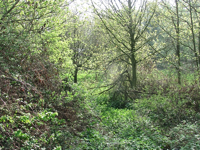
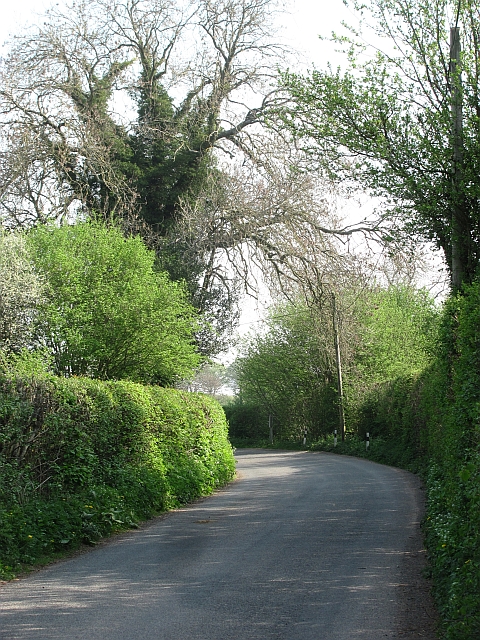
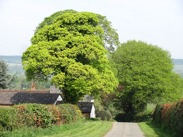
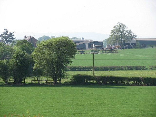
Images are sourced within 2km of 52.267/-2.755 or Grid Reference SO4863. Thanks to Geograph Open Source API. All images are credited.


Tudor House is located at Grid Ref: SO4863 (Lat: 52.267, Lng: -2.755)
Unitary Authority: County of Herefordshire
Police Authority: West Mercia
What 3 Words
///multiply.media.fidgeting. Near Eyton, Herefordshire
Nearby Locations
Related Wikis

Luston
Luston is a village and civil parish in north Herefordshire. It is 3 miles (5 km) north from Leominster on the B4361 road. To the south from the village...

Folly's Lane
Folly's Lane is a woodland in Herefordshire, England, near the village of Luston. It covers a total area of 1.18 hectares (2.92 acres). It is owned and...
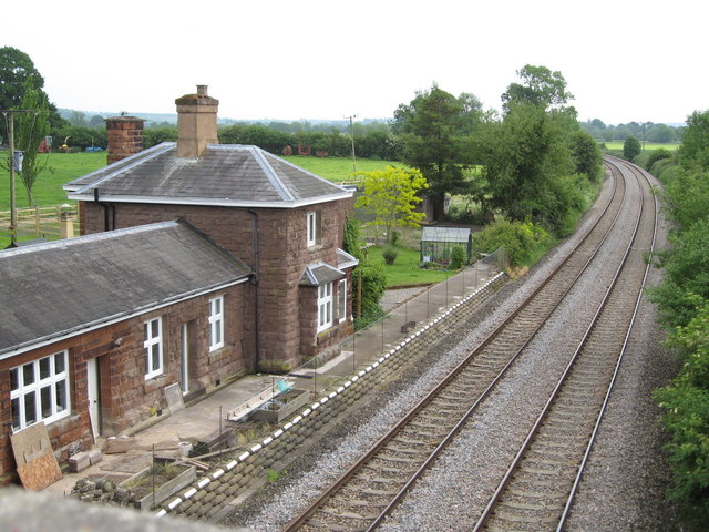
Berrington and Eye railway station
Berrington and Eye railway station was located in Eye, Herefordshire. It opened on 6 December 1853 and closed on 9 June 1958. The station was opened under...
Eye, Herefordshire
Eye is a small village in the Eye, Moreton and Ashton civil parish of Herefordshire, England, and 3 miles (5 km) north from Leominster, 15 miles (24 km...
Nearby Amenities
Located within 500m of 52.267,-2.755Have you been to Tudor House?
Leave your review of Tudor House below (or comments, questions and feedback).