Towie Barclay Castle

Heritage Site in Aberdeenshire

Scotland

Towie Barclay Castle

A947 Lay-by
A947 Lay-by Credit: Alex McGregor

Towie Barclay Castle is a historic heritage site located in Aberdeenshire, Scotland. The castle dates back to the 16th century and is known for its significant architectural and historical value. It is situated on a picturesque hilltop, surrounded by lush greenery and scenic landscapes.

The castle was originally built as a fortified tower house by the Barclay family, who were prominent landowners in the region. Over the centuries, it underwent several expansions and renovations, resulting in its current grandeur. The castle features a unique blend of architectural styles, including medieval and Renaissance influences.

One of the most notable features of Towie Barclay Castle is its imposing tower, which stands tall and commands attention. The tower is constructed with sturdy stone walls and boasts intricate craftsmanship. Visitors can explore the various levels of the tower, which include living quarters, a great hall, and a rooftop lookout offering panoramic views of the surrounding countryside.

Inside the castle, visitors can also admire the beautiful interior décor, which showcases the castle's rich history. The walls are adorned with tapestries, ornate woodwork, and intricate carvings. Additionally, the castle houses a collection of antique furniture, artwork, and historical artifacts, providing a glimpse into the past.

Towie Barclay Castle is a popular destination for history enthusiasts, architecture lovers, and tourists seeking a glimpse into Scotland's rich heritage. It offers guided tours, educational programs, and special events to further enhance the visitor experience. The castle's serene surroundings and its well-preserved structure make it a fascinating place to explore and appreciate Scotland's historic legacy.

If you have any feedback on the listing, please let us know in the comments section below.

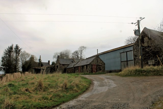
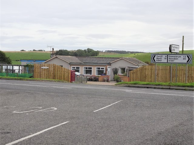
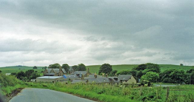
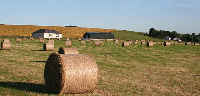
Towie Barclay Castle Images

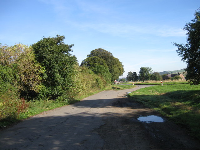
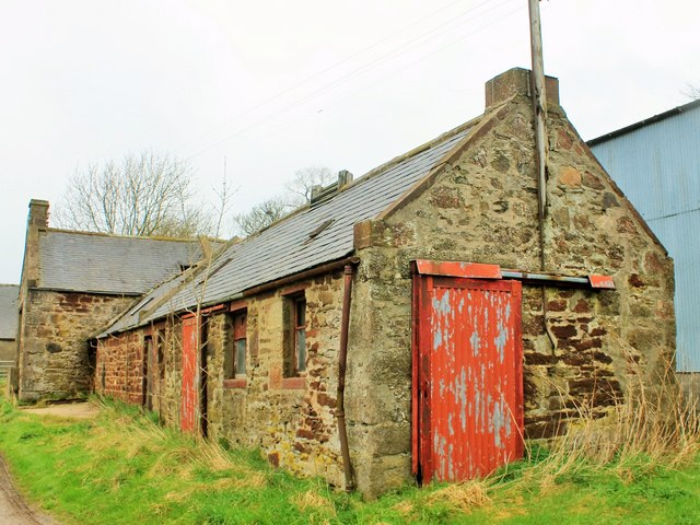
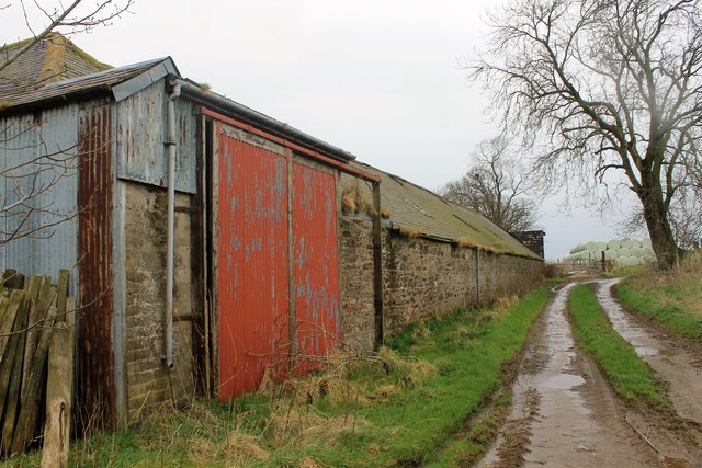
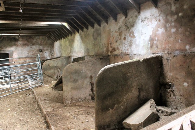
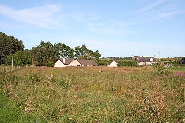
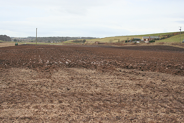
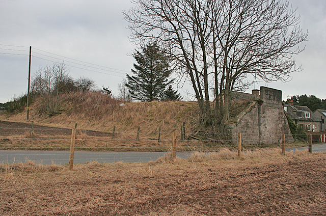
Images are sourced within 2km of 57.482/-2.425 or Grid Reference NJ7443. Thanks to Geograph Open Source API. All images are credited.

A947 Lay-by
A947 Lay-by
Old Steading Part of the old steading at East Pitdoulzie.
Old Steading
Part of the old steading at East Pitdoulzie.
Pitdoulzie Steading A big barn door and low buildings  alongside a muddy track at the largely disused East Pitdoulzie farm.
Pitdoulzie Steading
A big barn door and low buildings alongside a muddy track at the largely disused East Pitdoulzie farm.
Auld Byre The disused stalls of the byre at East Pitdoulzie.
Auld Byre
The disused stalls of the byre at East Pitdoulzie.
East Pitdoulzie The approach to the sad and neglected farm of East Pitdoulzie. The farmland is leased out and the corporate owners have little use for the old steading.
East Pitdoulzie
The approach to the sad and neglected farm of East Pitdoulzie. The farmland is leased out and the corporate owners have little use for the old steading.
Auchterless railway station (site), Aberdeenshire Opened in 1857 by the Banff Macduff & Turriff Junction Railway, later part of the Great North of Scotland Railway, on the line from Inveramsay to Macduff, this station closed to passengers in 1951 and completely in 1966.
View east at the former forecourt. Behind the building was the platform, left for Turriff and Macduff, right for Fyvie and Inveramsay. The road sign also shows that the station was 3 miles from Auchterless.
Auchterless railway station (site), Aberdeenshire
Opened in 1857 by the Banff Macduff & Turriff Junction Railway, later part of the Great North of Scotland Railway, on the line from Inveramsay to Macduff, this station closed to passengers in 1951 and completely in 1966. View east at the former forecourt. Behind the building was the platform, left for Turriff and Macduff, right for Fyvie and Inveramsay. The road sign also shows that the station was 3 miles from Auchterless.
Northward on A947 road to site of Auchterless station at Mains of Towie The station was on the ex-GNSR branch from Inveramsay - Macduff off the Aberdeen - Elgin main line. The station here and line were closed to passengers from 1/10/51; the line was closed to goods Turriff - Macduff from 1/8/61, Inveramsay - Turriff (through Auchterless) from 3/1/66.
Northward on A947 road to site of Auchterless station at Mains of Towie
The station was on the ex-GNSR branch from Inveramsay - Macduff off the Aberdeen - Elgin main line. The station here and line were closed to passengers from 1/10/51; the line was closed to goods Turriff - Macduff from 1/8/61, Inveramsay - Turriff (through Auchterless) from 3/1/66.
River Ythan
River Ythan
Farm road to Gordontown of Seggat
Road junction near Backhill of Seggat
New House near Woodend The house on the left isn't on the 1:50,000 map, but it is on the large-scale online map. Woodend is among the trees at right.
New House near Woodend
The house on the left isn't on the 1:50,000 map, but it is on the large-scale online map. Woodend is among the trees at right.
New Houses For a long time planning rules made it very difficult to build new in the countryside, but restrictions were relaxed some time ago and new houses, in groups and alone, are springing up all over the place. This cluster of houses is not named on the maps.
New Houses
For a long time planning rules made it very difficult to build new in the countryside, but restrictions were relaxed some time ago and new houses, in groups and alone, are springing up all over the place. This cluster of houses is not named on the maps.
Ploughing at Birkenhills According to the maps, the railway line used to run on an embankment through this field, which is in process of being ploughed, but all trace of the embankment has vanished.
Ploughing at Birkenhills
According to the maps, the railway line used to run on an embankment through this field, which is in process of being ploughed, but all trace of the embankment has vanished.
Remains of Railway Bridge Since <a href="https://www.geograph.org.uk/photo/307114">NJ7445 : Remains of railway bridge at Birkenhills.</a> and <a href="https://www.geograph.org.uk/photo/2092314">NJ7445 : Dismantled railway bridge, Birkenhills</a> were taken 8 and 4½ years ago respectively, the south abutment of the railway bridge has been completely demolished, but the north abutment and the embankment to the north of it still survive,
Remains of Railway Bridge
Since NJ7445 : Remains of railway bridge at Birkenhills. and NJ7445 : Dismantled railway bridge, Birkenhills were taken 8 and 4½ years ago respectively, the south abutment of the railway bridge has been completely demolished, but the north abutment and the embankment to the north of it still survive,
Towie Barclay Castle Taken looking across the river Ythan. Towie Barclay was bought by the American musician, Marc Ellington, and is another example of a Scottish Baronial tower house.
Towie Barclay Castle
Taken looking across the river Ythan. Towie Barclay was bought by the American musician, Marc Ellington, and is another example of a Scottish Baronial tower house.
Remains of railway bridge at Birkenhills. The road beyond the bridge spans is the A947, Turriff to Oldmeldrum road.
Remains of railway bridge at Birkenhills.
The road beyond the bridge spans is the A947, Turriff to Oldmeldrum road.
Approaching the A947 at Towie
East Pitdoulzie The farm stands on a low ridge above the road.
East Pitdoulzie
The farm stands on a low ridge above the road.
Show me another place!

Towie Barclay Castle is located at Grid Ref: NJ7443 (Lat: 57.482, Lng: -2.425)

What 3 Words

///jokes.moguls.standards. Near Turriff, Aberdeenshire

Nearby Locations

Towie Barclay Castle

Related Wikis

Auchterless railway station

Auchterless railway station was a railway station in Auchterless, Aberdeenshire. It served the rural area, the estate of Towie Barclay and a settlement...

Banff and Buchan (UK Parliament constituency)

Banff and Buchan is a constituency of the House of Commons, located in the north-east of Scotland within the Aberdeenshire council area. It elects one...

Hatton Castle, Aberdeenshire

Hatton Castle is almost three miles (4.8 km) south-east of Turriff, Aberdeenshire in the north-east of Scotland. Formerly known as Balquholly Castle, sometimes...

Tifty, Aberdeenshire

Tifty is near Turriff, Aberdeenshire, Scotland. == References ==

Nearby Amenities

Located within 500m of 57.482,-2.425
Speed Camera
Ref: 4009
Website: http://www.nescamp.co.uk/details?cid=104
Lat/Long: 57.485985/-2.4257283
Power: pole
Lat/Long: 57.4845728/-2.431567
Power: pole
Lat/Long: 57.4841125/-2.4317655
Power: pole
Lat/Long: 57.4836463/-2.4319402
Power: pole
Lat/Long: 57.4829679/-2.4317633
Power: pole
Lat/Long: 57.4822663/-2.4315951
Power: pole
Lat/Long: 57.4815856/-2.4314225
Power: pole
Lat/Long: 57.4808944/-2.4312456
Power: pole
Lat/Long: 57.480202/-2.4310665
Power: pole
Lat/Long: 57.4796453/-2.4305358
Power: pole
Lat/Long: 57.4790991/-2.4299792
Power: pole
Lat/Long: 57.4785435/-2.4294356
Power: pole
Lat/Long: 57.4780297/-2.4289286
Power: pole
Lat/Long: 57.4800892/-2.4323659
Power: pole
Lat/Long: 57.4814098/-2.4167163
Power: pole
Lat/Long: 57.4808943/-2.4169872
Power: pole
Lat/Long: 57.4802514/-2.4173196
Material: wood
Power: pole
Lat/Long: 57.4785842/-2.4197517
Material: wood
Power: pole
Lat/Long: 57.4782292/-2.4208122
Material: wood
Power: pole
Lat/Long: 57.4779037/-2.4217753
Power: pole
Lat/Long: 57.4840877/-2.4186193
Power: pole
Lat/Long: 57.4841412/-2.4196162
Power: pole
Lat/Long: 57.48447/-2.4207254
Power: pole
Lat/Long: 57.4844746/-2.4217457
Power: pole
Lat/Long: 57.4845383/-2.4227448
Power: pole
Lat/Long: 57.484618/-2.4239175
Power: pole
Lat/Long: 57.4847238/-2.4253971
Power: pole
Lat/Long: 57.4847386/-2.425649
The data included in this document is from www.openstreetmap.org. The data is made available under ODbL.

Have you been to Towie Barclay Castle?

Leave your review of Towie Barclay Castle below (or comments, questions and feedback).