Towbury Hill Roman Camp
Heritage Site in Gloucestershire
England
Towbury Hill Roman Camp

Towbury Hill Roman Camp, located in Gloucestershire, is a significant heritage site that provides insights into the Roman presence in the region. The camp is situated on a prominent hilltop, offering strategic advantages for military operations and signaling its importance in the Roman conquest of Britain.
The camp is rectangular in shape, measuring approximately 200 meters by 130 meters, and is enclosed by a ditch and rampart. These defensive features are still visible today, although they have undergone some erosion and damage over the centuries. The rampart, constructed using turf and timber, would have provided protection to Roman soldiers stationed at the camp.
Excavations at Towbury Hill Roman Camp have revealed evidence of Roman occupation, such as pottery fragments, coins, and other artifacts. These findings suggest that the camp was likely established during the 1st century AD, when the Romans were actively expanding their control across Britain.
The camp's location, overlooking the River Severn and commanding views of the surrounding landscape, indicates its strategic significance. From Towbury Hill, the Romans could monitor and control the movement of people and goods in the area, as well as maintain a strong military presence.
Today, Towbury Hill Roman Camp is a popular destination for history enthusiasts and visitors interested in ancient Roman culture. The site offers a unique opportunity to explore the remains of a Roman military camp and gain a deeper understanding of the Roman occupation of Britain.
If you have any feedback on the listing, please let us know in the comments section below.
Towbury Hill Roman Camp Images
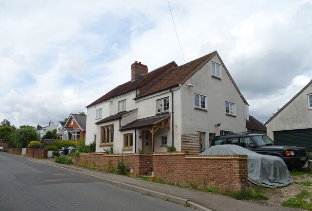
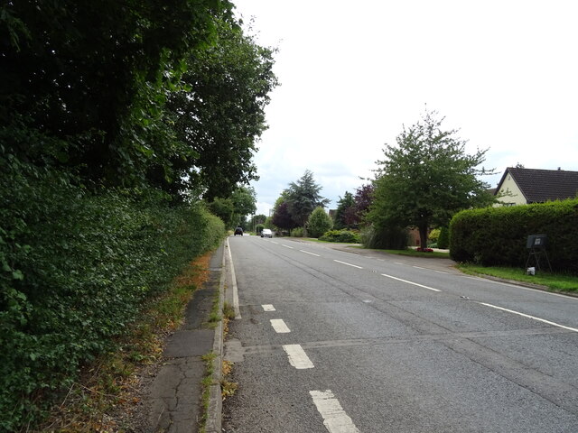
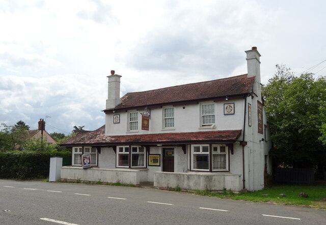
Images are sourced within 2km of 52.031/-2.1764 or Grid Reference SO8736. Thanks to Geograph Open Source API. All images are credited.


Towbury Hill Roman Camp is located at Grid Ref: SO8736 (Lat: 52.031, Lng: -2.1764)
What 3 Words
///curries.balconies.acquaint. Near Bredon, Worcestershire
Nearby Locations
Related Wikis

Ripple, Worcestershire
Ripple is a village and civil parish in the county of Worcestershire, England. Ripple is one of the most southerly parishes in the county and is situated...
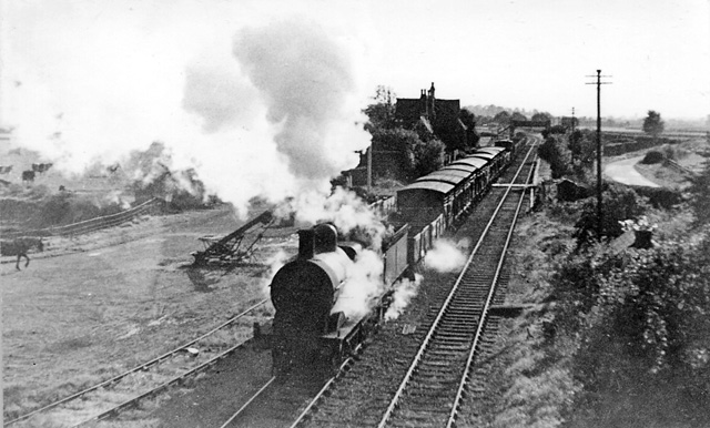
Ripple railway station
Ripple railway station was a station on the Midland Railway between Great Malvern and Evesham. It opened on 16 May 1864 by the Tewkesbury and Malvern...
Battle of Ripple Field
The Battle of Ripple Field, fought on 13 April 1643, was an engagement in the First English Civil War. In the battle, a Royalist cavalry force led by Prince...

Bredon School
Bredon School, formerly Pull Court, is a private school in Bushley, Worcestershire, England. The house was built for the Reverend Canon E. C. Dowdeswell...
Nearby Amenities
Located within 500m of 52.031,-2.1764Have you been to Towbury Hill Roman Camp?
Leave your review of Towbury Hill Roman Camp below (or comments, questions and feedback).