Tithe Barn
Heritage Site in Gloucestershire
England
Tithe Barn
Tithe Barn, located in Gloucestershire, is a historic heritage site that dates back to the 14th century. It is situated in the picturesque village of Tewkesbury, known for its rich medieval history. The Tithe Barn, a Grade I listed building, is a significant example of medieval architecture and is considered one of the finest timber-framed barns in England.
The barn was originally constructed in the early 14th century to store tithes, or a tenth of the harvest, which were collected as taxes by the church. It is an impressive structure, measuring approximately 150 feet in length and featuring a striking timber frame with large oak beams. The roof is made of Cotswold stone tiles, adding to its charm and durability.
Over the years, the Tithe Barn has served various purposes. It was used as a farm storage facility and later as a granary before falling into disrepair. In the 20th century, efforts were made to preserve and restore the barn, ensuring its historical significance would be protected for future generations.
Today, the Tithe Barn serves as a popular venue for weddings, exhibitions, and other cultural events. Its spacious interior, with its high timber ceilings and exposed beams, creates a unique and atmospheric setting. Visitors can explore the barn's history through informative displays and exhibitions, which highlight its architectural features and its role in the local community.
The Tithe Barn in Gloucestershire is not only a testament to the region's medieval past but also a vibrant cultural hub that continues to play a significant role in the community.
If you have any feedback on the listing, please let us know in the comments section below.
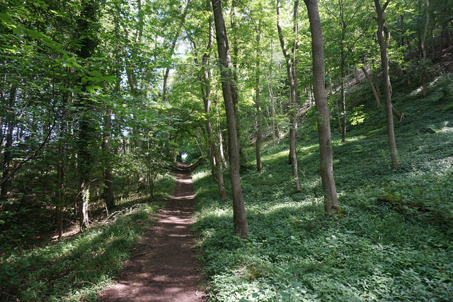
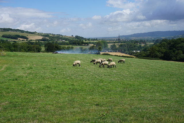
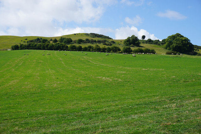
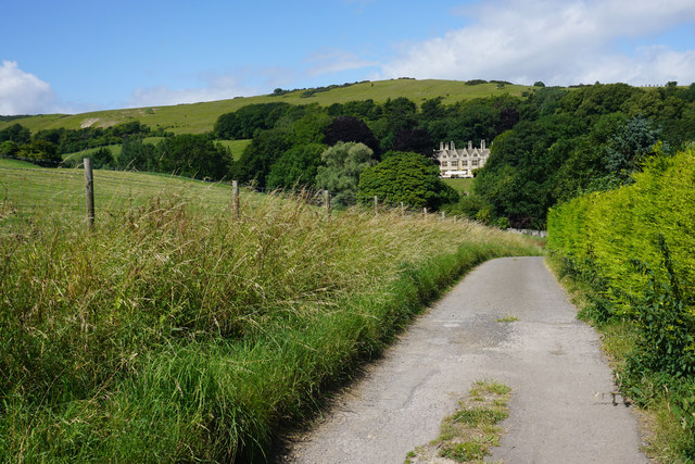
Tithe Barn Images
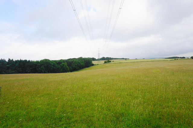
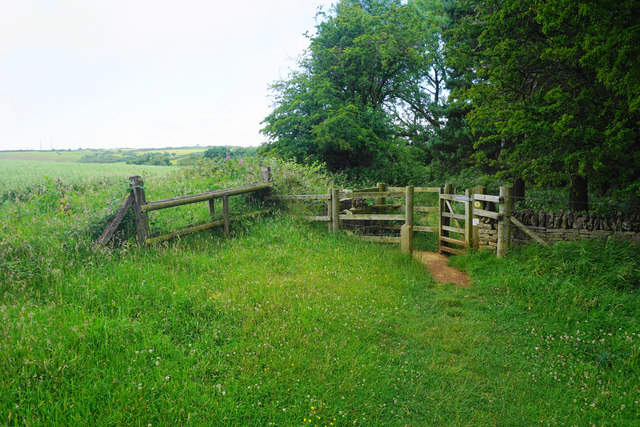
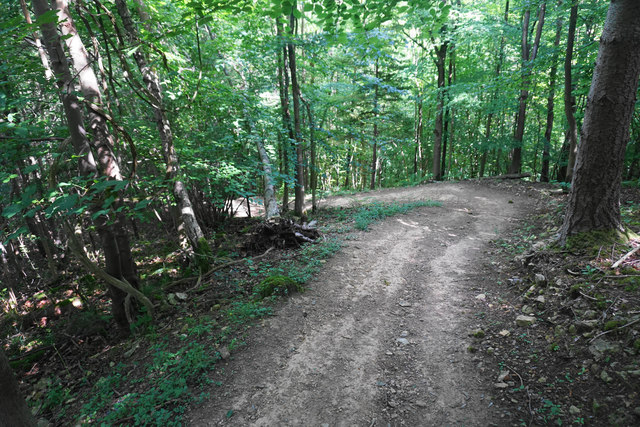
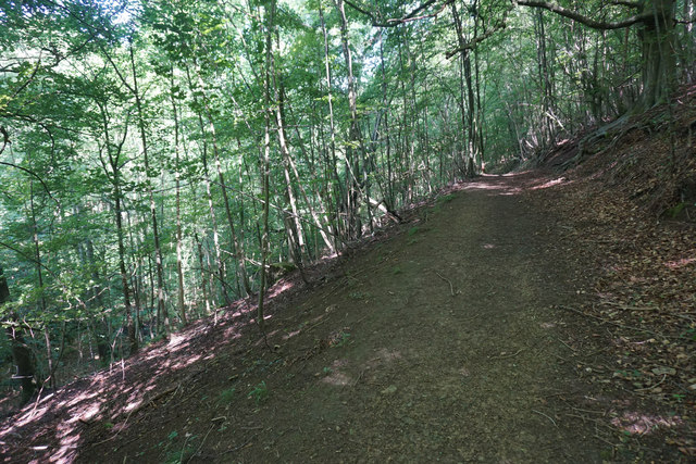
Images are sourced within 2km of 51.937/-2.007 or Grid Reference SO9926. Thanks to Geograph Open Source API. All images are credited.
Tithe Barn is located at Grid Ref: SO9926 (Lat: 51.937, Lng: -2.007)
What 3 Words
///robes.apple.draining. Near Winchcombe, Gloucestershire
Nearby Locations
Related Wikis
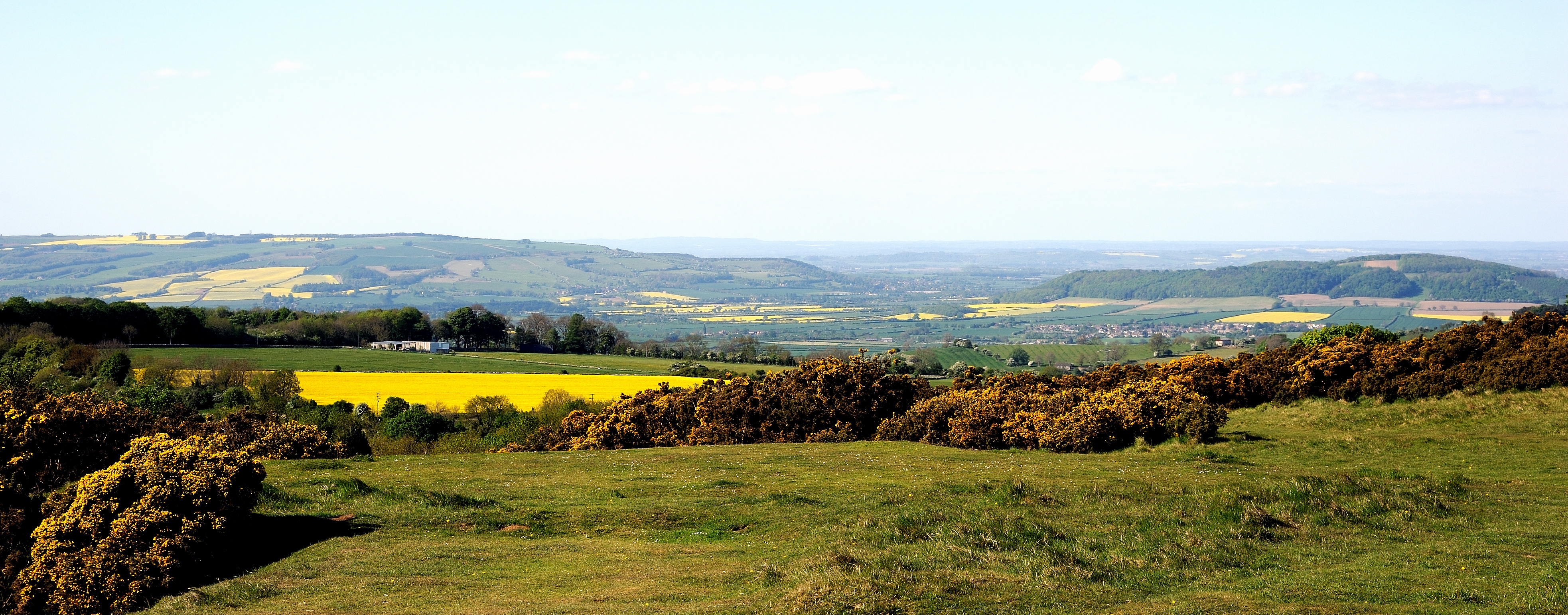
Cleeve Common
Cleeve Common (grid reference SO990260) is a 455-hectare (1,120-acre) biological and geological Site of Special Scientific Interest in Gloucestershire...
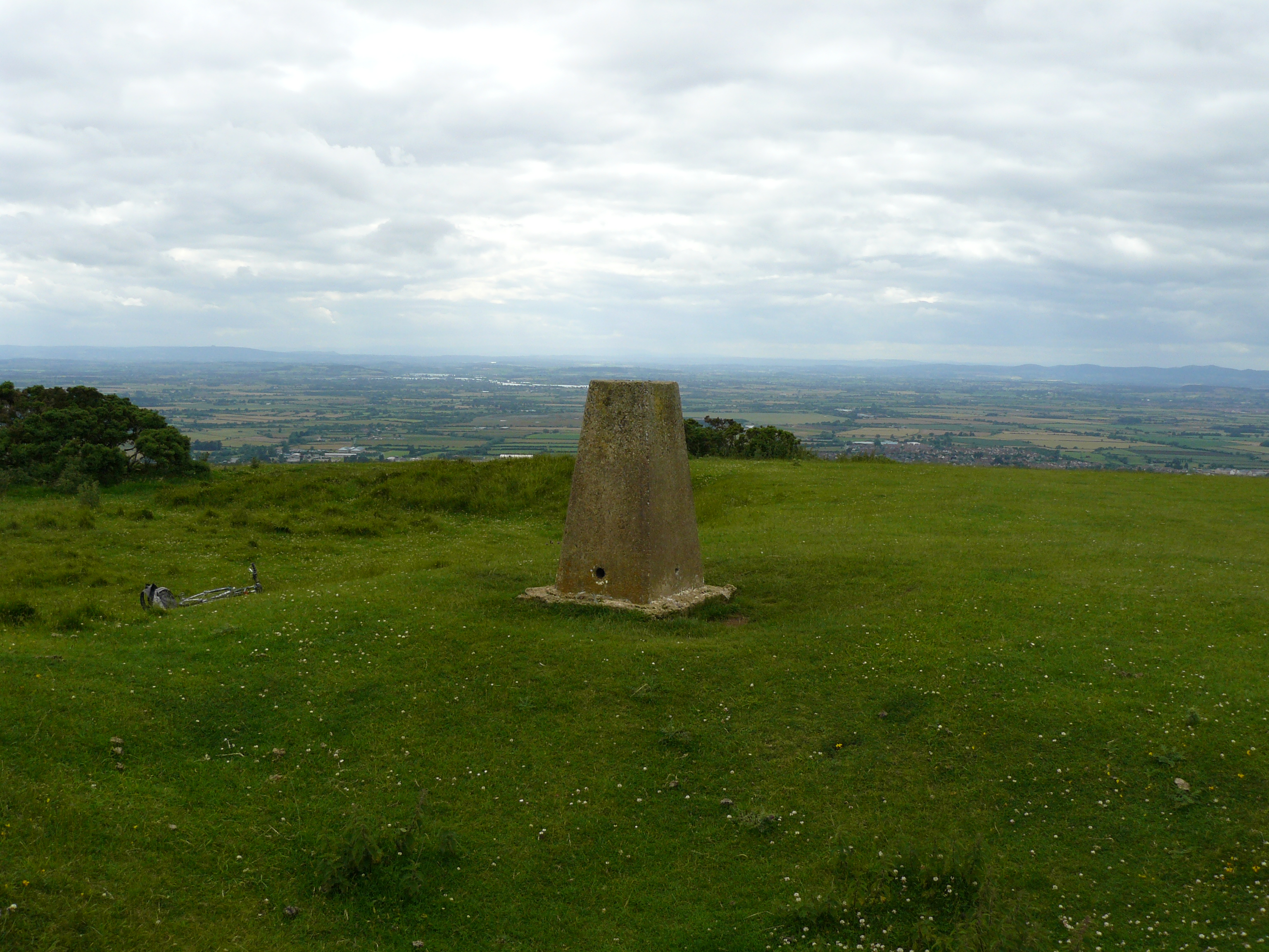
Cleeve Hill, Gloucestershire
Cleeve Hill (also known as Cleeve Cloud) is the highest point both of the Cotswolds hill range and of the county of Gloucestershire, at 330 m (1,080 ft...

Sudeley
Sudeley is a civil parish in the district of Tewkesbury, in the county of Gloucestershire, England. The parish includes the village of Charlton Abbots...
Woodmancote, Tewkesbury Borough
Woodmancote is a village and civil parish in Gloucestershire, England. The parish lies immediately east of Bishop's Cleeve; the village is about 3+1⁄2...
Related Videos

Hiking to The Cotswold's Highest Peak (IN WINTER!)
I climbed to the highest Peak In the Cotwolds National park and it was amazing! MY GEAR LIST , SOCIALS & LINKs to the ...

Hiking the Cotswold Way + Exploring Gloucestershire!
Living near the Cotswolds has its advantages, one of which is the Cotswold Way - mile after mile of beautiful views and footpaths!

Dealing with Anxiety and Depression. Hiking for Your Mental Health.
My own personal battle with anxiety and depression and how my passion for the great outdoors has helped me overcome my ...

4 Cotswold Round long distance hiking trail Tarp Wild camping Cleeve Hill Hungry Horse Crickley Hill
Day four on The Cotswold Round a 349 km / 217 miles long distance footpath circuit in South central England covering parts of 6 ...
Nearby Amenities
Located within 500m of 51.937,-2.007Have you been to Tithe Barn?
Leave your review of Tithe Barn below (or comments, questions and feedback).