Thistlewood
Heritage Site in Cumberland Eden
England
Thistlewood

Thistlewood, located in Cumberland, is a renowned heritage site that holds great historical and cultural significance. This site, nestled in the picturesque countryside of northwest England, offers visitors a glimpse into the rich heritage and architectural marvels of the region.
Thistlewood is an ancient manor house, dating back to the 16th century, and has been remarkably preserved throughout the centuries. The house is a fine example of Elizabethan architecture, with its timber-framed structure and intricately carved details. The stunning gardens, surrounding the house, are a testament to the meticulous landscaping and horticultural practices of the time.
Stepping inside Thistlewood, visitors are transported to a different era, as they explore its well-preserved rooms and corridors. The interior boasts period features, such as oak paneling, ornate plasterwork, and exquisite stained glass windows. Each room tells a story of the families who once resided within these walls, offering a fascinating insight into the daily lives and customs of the past.
Apart from its architectural beauty, Thistlewood also holds historical significance. It is rumored to have been a meeting place for notable figures during the English Civil War, adding an extra layer of intrigue to its already captivating aura.
Thistlewood, now a heritage site, offers guided tours and educational programs, allowing visitors to delve deeper into the history and significance of the house. Whether one is a history enthusiast or simply seeking a serene escape, Thistlewood in Cumberland is a must-visit destination that showcases the region's rich heritage and architectural splendor.
If you have any feedback on the listing, please let us know in the comments section below.
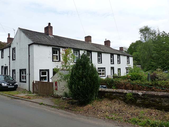
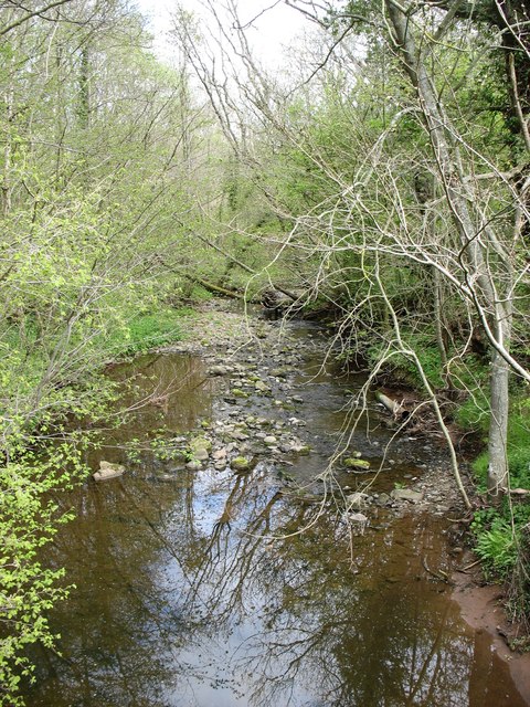
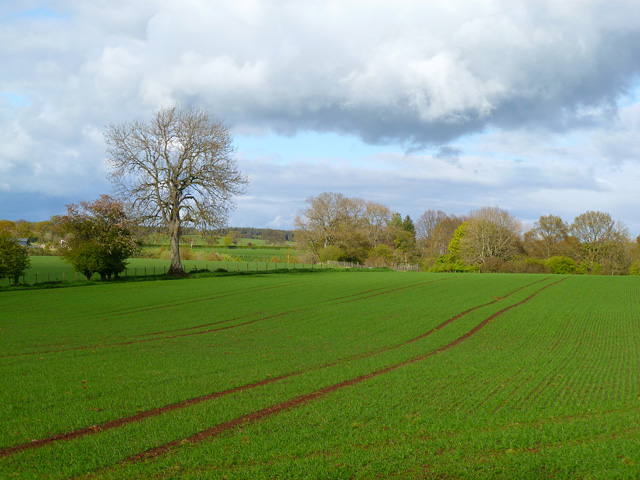
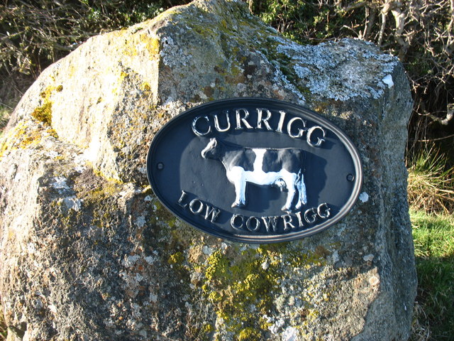
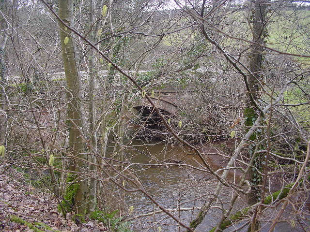
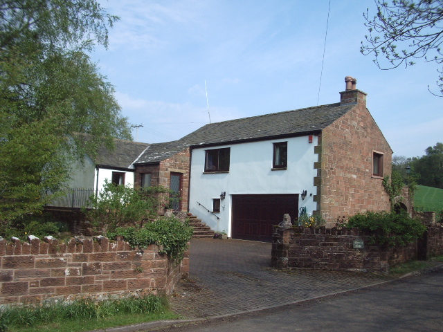
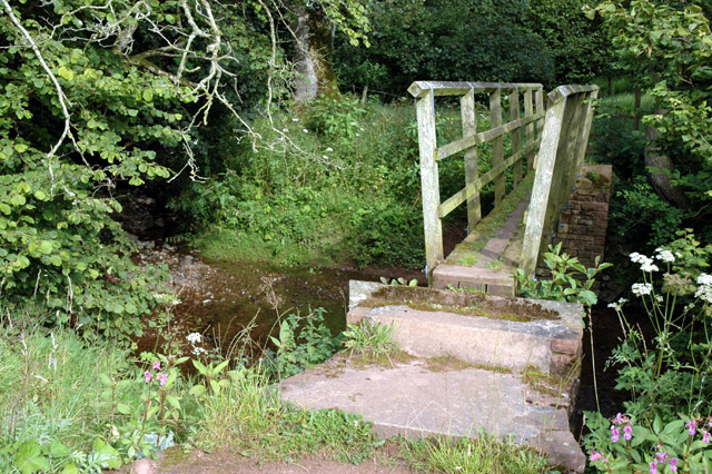
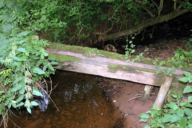
Thistlewood Images
Images are sourced within 2km of 54.783/-2.94 or Grid Reference NY3943. Thanks to Geograph Open Source API. All images are credited.


Thistlewood is located at Grid Ref: NY3943 (Lat: 54.783, Lng: -2.94)
Administrative County: Cumbria
District: Eden
Police Authority: Cumbria
What 3 Words
///movies.basics.lovely. Near Dalston, Cumbria
Nearby Locations
Related Wikis
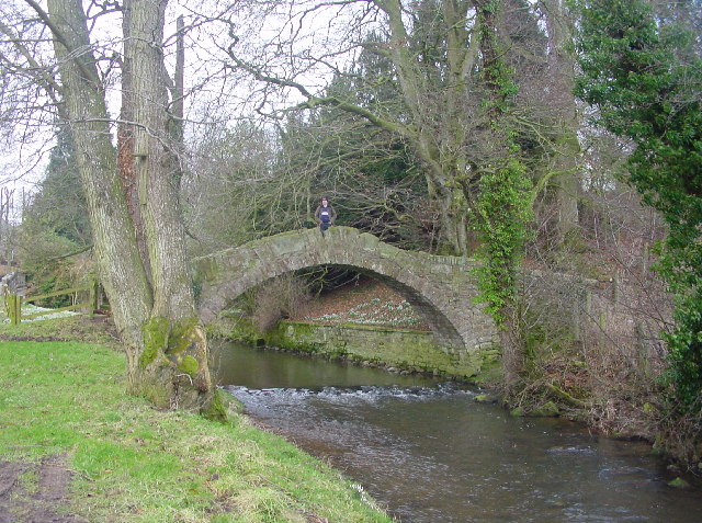
River Ive
The River Ive is a river in the county of Cumbria, England. The Ive rises near the settlement of Hutton End and flows north-north-west, through Ivegill...

High Head Castle
High Head Castle is a large fortified manor house in the English county of Cumbria. It is located between Carlisle and Penrith. The house is now largely...
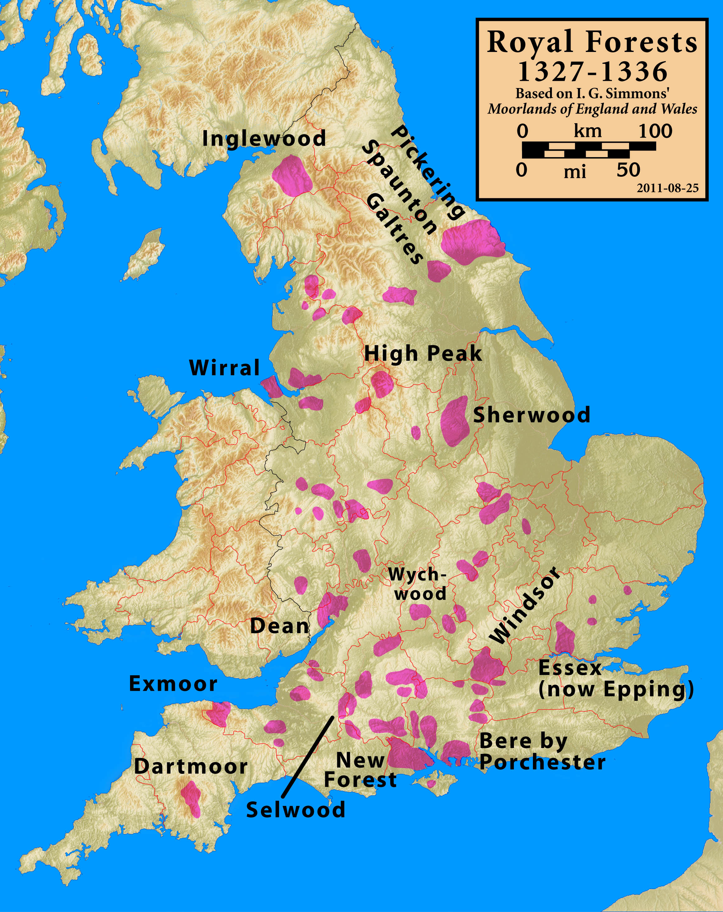
Inglewood Forest
Inglewood Forest is a large tract of mainly arable and dairy farm land with a few small woodland areas between Carlisle and Penrith in the English non...
Stockdalewath
Stockdalewath is a small village in Cumbria, approximately 7.5 miles south of Carlisle in the extreme northwest of England. It is located on the River...
Nearby Amenities
Located within 500m of 54.783,-2.94Have you been to Thistlewood?
Leave your review of Thistlewood below (or comments, questions and feedback).