Thirlestane Castle
Heritage Site in Berwickshire
Scotland
Thirlestane Castle

Thirlestane Castle, located in Berwickshire, Scotland, is a magnificent historic landmark and a testament to the rich architectural heritage of the region. This grand castle stands as a symbol of power and opulence, reflecting the noble ancestry of the Maitland family, who have owned the estate for over 400 years.
The castle's origins can be traced back to the 16th century when it was initially built as a defensive stronghold. Over the years, it has undergone several expansions and renovations, resulting in its current form as an impressive Renaissance-style mansion. The structure boasts a striking pink sandstone exterior, adorned with intricate carvings and embellishments.
Visitors to Thirlestane Castle can explore its well-preserved interior, which showcases a stunning array of period furniture, fine art, and historical artifacts. The castle's opulent rooms, including the grand dining hall, drawing room, and library, offer a glimpse into the lavish lifestyle enjoyed by its former inhabitants.
Surrounded by extensive grounds and gardens, the castle also offers visitors the chance to enjoy the beauty of the Scottish countryside. The meticulously maintained gardens feature manicured lawns, vibrant flower beds, and a variety of mature trees, providing a picturesque setting for a leisurely stroll.
Thirlestane Castle is not only a popular tourist attraction but also serves as a venue for weddings, corporate events, and cultural exhibitions. Its rich history and stunning architecture make it an ideal location for those seeking a unique and memorable experience in the heart of the Scottish Borders.
If you have any feedback on the listing, please let us know in the comments section below.
Thirlestane Castle Images
Images are sourced within 2km of 55.718/-2.74 or Grid Reference NT5347. Thanks to Geograph Open Source API. All images are credited.

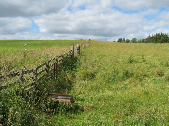
![Wheat near Lauder Bridge A small field [4.7 ha], surrounded on all sides by trees.](https://s0.geograph.org.uk/geophotos/07/22/10/7221036_2811fef0.jpg)
![Wheat near Lauder Bridge A small field [4.7 ha], surrounded on all sides by trees.](https://s2.geograph.org.uk/geophotos/07/22/10/7221038_fec2d544.jpg)

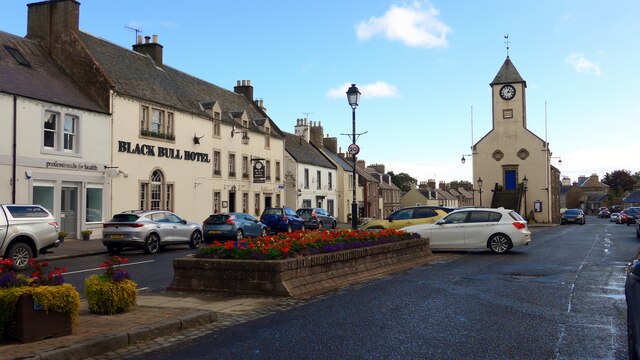
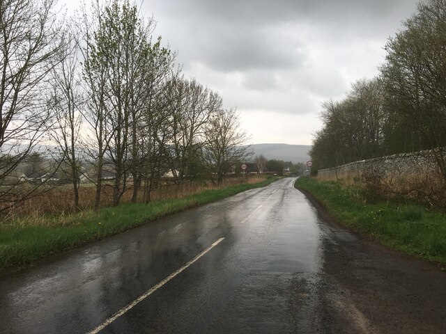
![Road junction at High Cross The B6362 from Lauder and Thirlstane meets the main Carfraemill-Morpeth [A697] cross-border road.](https://s2.geograph.org.uk/geophotos/07/22/10/7221046_16efc9b5.jpg)


Thirlestane Castle is located at Grid Ref: NT5347 (Lat: 55.718, Lng: -2.74)
Unitary Authority: The Scottish Borders
Police Authority: The Lothians and Scottish Borders
What 3 Words
///crows.heightens.banks. Near Lauder, Scottish Borders
Nearby Locations
Related Wikis

Lauder Town Hall
Lauder Town Hall is a municipal structure in the Market Place in Lauder, Scottish Borders, Scotland. The structure, which is used as the local registrar...

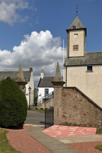
Thirlestane Castle
Thirlestane Castle is a castle set in extensive parklands near Lauder in the Borders of Scotland. The site is aptly named Castle Hill, as it stands upon...

Lauder
The former Royal Burgh of Lauder (, Scottish Gaelic: Labhdar) is a town in the Scottish Borders in the historic county of Berwickshire. On the Southern...

Lauder railway station
Lauder railway station served the town of Lauder, Berwickshire, Scotland, from 1901 to 1958. It was situated on the Lauder Light Railway. == History... ==

Lauderdale
Lauderdale is the valley of the Leader Water (a tributary of the Tweed) in the Scottish Borders. It contains the town of Lauder, as well as Earlston. The...

Whitslaid Tower
Whitslaid Tower was an ancient Berwickshire seat of the Lauder family for over 300 years. It is today a ruin high above the eastern bank of the Leader...

Boon Farm
Boon is a farm and former barony located near Lauder, Scotland. == History == === Name origins === Boon (aka "Boune" or "Bounn"), derives from the Breton...

Addinston
Addinston is a farming village, off the A697, close to the Carfraemill roundabout, with two hill forts and settlements, in Lauderdale in the Scottish...
Nearby Amenities
Located within 500m of 55.718,-2.74Have you been to Thirlestane Castle?
Leave your review of Thirlestane Castle below (or comments, questions and feedback).