Milebrook

Settlement in Radnorshire

Wales

Milebrook

Stow Hill Sheep grazing on Stow Hill above the Teme Valley.
Stow Hill Credit: Richard Webb

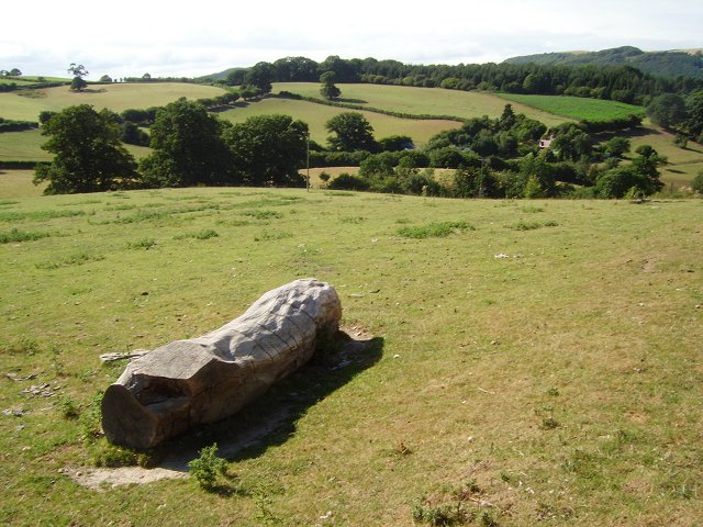
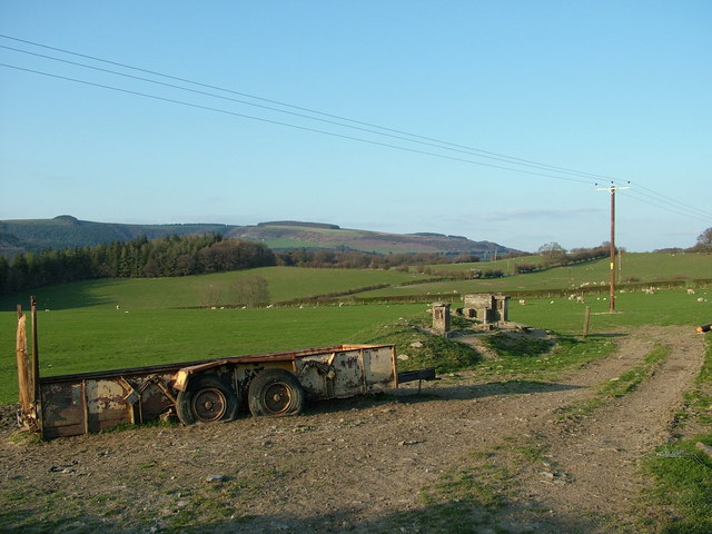
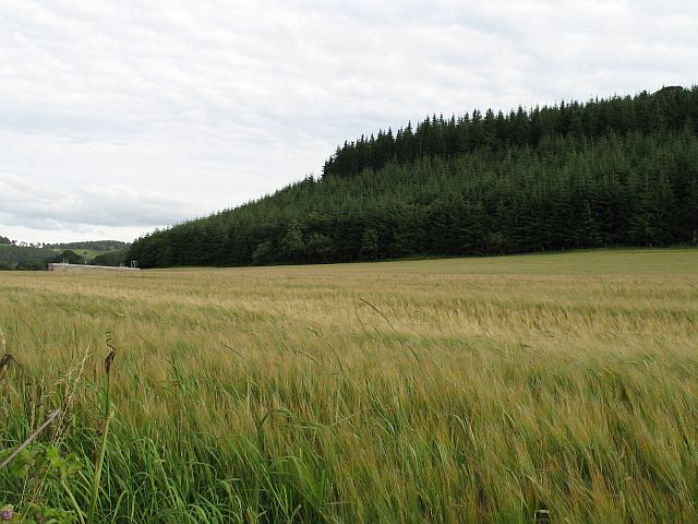
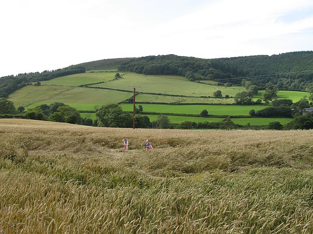
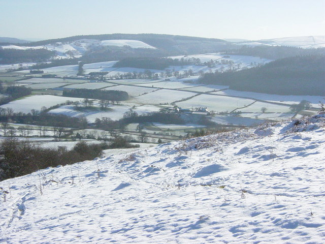
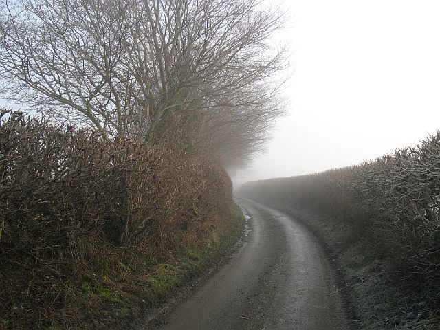
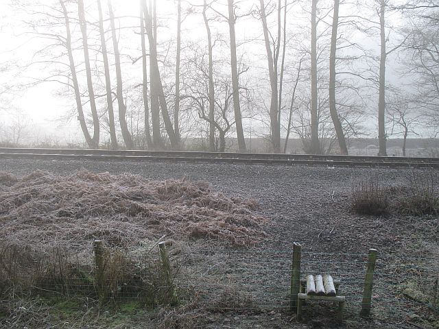
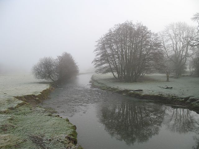
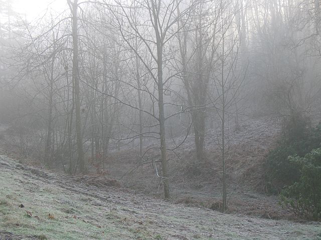
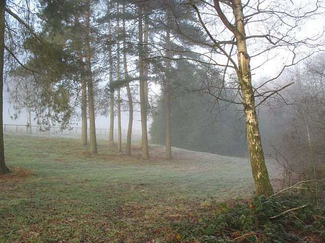
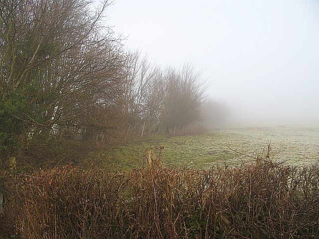
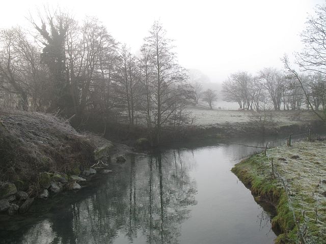
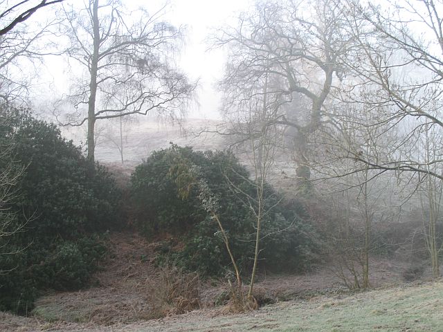
Milebrook is a small village located in the county of Radnorshire, Wales. The village is situated in a picturesque rural setting, surrounded by rolling hills and lush green countryside. It is known for its tranquil atmosphere and stunning natural beauty.

Milebrook is home to a small population of residents, many of whom are involved in agriculture and farming. The village has a close-knit community, with a strong sense of community spirit and pride in their rural way of life.

In terms of amenities, Milebrook has a few local shops and cafes, providing essentials for residents and visitors. The village also has a primary school, serving the local children.

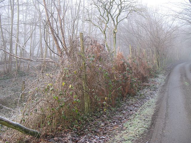
One of the main attractions in Milebrook is the scenic walking trails and hiking routes that crisscross the surrounding countryside. Visitors can enjoy leisurely strolls or more challenging hikes, taking in the breathtaking views and peaceful surroundings.

Overall, Milebrook is a charming and idyllic village, offering a peaceful retreat for those looking to escape the hustle and bustle of city life and immerse themselves in the beauty of the Welsh countryside.

If you have any feedback on the listing, please let us know in the comments section below.
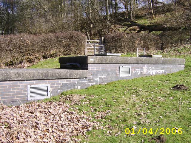
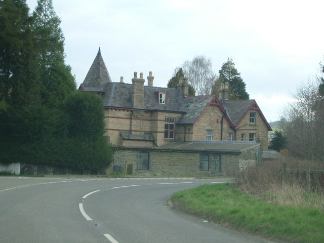
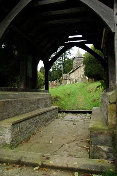
Milebrook Images

Images are sourced within 2km of 52.348393/-3.008247 or Grid Reference SO3172. Thanks to Geograph Open Source API. All images are credited.

Stow Hill Sheep grazing on Stow Hill above the Teme Valley.
Stow Hill
Sheep grazing on Stow Hill above the Teme Valley.
Access To Water Part of the Elan Valley Aqueduct that feeds drinking water from Foel Tower Elan Valley to Frankley Reservoir in Birmingham, for more information visit: <a title="https://www.geograph.org.uk/photo/907757" href="https://www.geograph.org.uk/photo/907757">Link</a>
Access To Water
Part of the Elan Valley Aqueduct that feeds drinking water from Foel Tower Elan Valley to Frankley Reservoir in Birmingham, for more information visit: Link
A house near Knighton known as The Lee
Pitts Field between Middle and Upper Pitts farms.
Pitts
Field between Middle and Upper Pitts farms.
Stowe Church Viewed from the lych gate, Stowe church is a significant landmark on the hillside north of the Teme valley, a couple of miles below Knighton
Stowe Church
Viewed from the lych gate, Stowe church is a significant landmark on the hillside north of the Teme valley, a couple of miles below Knighton
ROC Fallout Monitor Bunker. Llanshay Lane, Knighton. Llanshay Lane, Knighton. Opened 1962, closed 1991. The Royal Observer Corps, Cold War monitoring force of the United Kingdom Warning and Monitoring Organisation responsible for identifying and locating bomb bursts, and tracking the subsequent (and deadly) radioactive fallout. <span class="nowrap"><a title="http://www.subbrit.org.uk/rsg/roc/index2.shtml" rel="nofollow ugc noopener" href="http://www.subbrit.org.uk/rsg/roc/index2.shtml">Link</a><img style="margin-left:2px;" alt="External link" title="External link - shift click to open in new window" src="https://s1.geograph.org.uk/img/external.png" width="10" height="10"/></span>
ROC Fallout Monitor Bunker. Llanshay Lane, Knighton.
Llanshay Lane, Knighton. Opened 1962, closed 1991. The Royal Observer Corps, Cold War monitoring force of the United Kingdom Warning and Monitoring Organisation responsible for identifying and locating bomb bursts, and tracking the subsequent (and deadly) radioactive fallout. LinkExternal link
Under Park Bank Barley under Park Bank Wood. The brick structure is an access to the Elan Valley Aqueduct.
Under Park Bank
Barley under Park Bank Wood. The brick structure is an access to the Elan Valley Aqueduct.
Teme Valley wheat Wheat and scarecrows, Lower Stanage, Rads.
Teme Valley wheat
Wheat and scarecrows, Lower Stanage, Rads.
Stowe Hill January 2005 Looking South to the Upper Teme valley
Stowe Hill January 2005
Looking South to the Upper Teme valley
Bucknell to Stowe Road Lane on the Shropshire side of the Teme. Very narrow with few passing places. If on a bike, this is preferable to the fast A road on the Radnorshire side.
Bucknell to Stowe Road
Lane on the Shropshire side of the Teme. Very narrow with few passing places. If on a bike, this is preferable to the fast A road on the Radnorshire side.
Shrewsbury to Swansea railway near Stowe The railway runs beside the Teme, just visible.
Shrewsbury to Swansea railway near Stowe
The railway runs beside the Teme, just visible.
River Teme The Teme from the Shropshire side of Stowe Bridge.
River Teme
The Teme from the Shropshire side of Stowe Bridge.
Woodland, Stanage Park Stanage Park is mostly woodland, with large clearings. Pegs were out for pheasant shooting.
Woodland, Stanage Park
Stanage Park is mostly woodland, with large clearings. Pegs were out for pheasant shooting.
Stanage Park Woodland beside the road up to Stanage.
Stanage Park
Woodland beside the road up to Stanage.
Hedgerows, Weston Lots of hazel as usual in this area.
Hedgerows, Weston
Lots of hazel as usual in this area.
Serious fencing This over the top barbed wire is nothing to do with the railway, which is protected by its own normal fence. It crops up on the Teme side of the road in several places, and is probably an attempt to protect the fishing. 
A disgusting eyesore - makes the place look like a landfill.
Serious fencing
This over the top barbed wire is nothing to do with the railway, which is protected by its own normal fence. It crops up on the Teme side of the road in several places, and is probably an attempt to protect the fishing. A disgusting eyesore - makes the place look like a landfill.
Upstream from Stowe Bridge The Teme. A stream runs in from Milebrook and above on the Radnorshire side.
Upstream from Stowe Bridge
The Teme. A stream runs in from Milebrook and above on the Radnorshire side.
Stanage Parkland and woodland, Stanage.
Stanage
Parkland and woodland, Stanage.
Show me another place!

Milebrook is located at Grid Ref: SO3172 (Lat: 52.348393, Lng: -3.008247)

Unitary Authority: Powys

Police Authority: Dyfed Powys

What 3 Words

///invest.vows.footpath. Near Knighton, Powys

Related Wikis

Milebrook

Milebrook is a hamlet in Powys, Wales. == Location == Milebrook is located on a crossroads of the A4113 road almost alongside the Afon Tefeidiad that,...

Stowe, Shropshire

Stowe or Stow is a small village and civil parish in south Shropshire, England. The parish has a border with Wales and the Welsh town of Knighton is less...

Heartsease, Knighton

Heartsease is a small settlement or hamlet in Powys, Wales. It is close to the border with England and lies near the junction of the two counties of Herefordshire...

Stanage Park

Stanage Park is a Grade II* listed Welsh country house set in a large park located some 3 miles (4.8 km) east of Knighton, Powys near the settlement of...

Nearby Amenities

Located within 500m of 52.348393,-3.008247
Milebrook
Created By: POI Editor
Is In: Powys,Wales,UK
Place: hamlet
Source: npe
Wikidata: Q6851138
Lat/Long: 52.3479322/-3.0105913
Man Made: manhole
Manhole: water
Pipeline: inspection chamber
Lat/Long: 52.3477903/-3.0077755
Elan Aqueduct inspection chamber
Man Made: manhole
Manhole: water
Source: http://www.geograph.org.uk/photo/145164
Water: inspection_chamber
Lat/Long: 52.3478541/-3.0049578
Give Way
Direction: backward
Lat/Long: 52.3479267/-3.0091908
Give Way
Direction: forward
Lat/Long: 52.3477638/-3.0091993
The data included in this document is from www.openstreetmap.org. The data is made available under ODbL.

Have you been to Milebrook?

Leave your review of Milebrook below (or comments, questions and feedback).