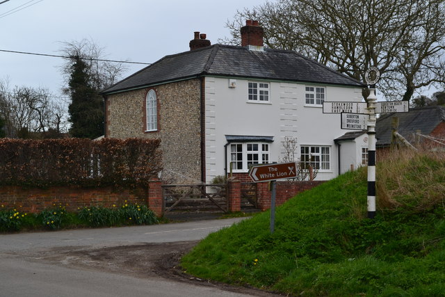
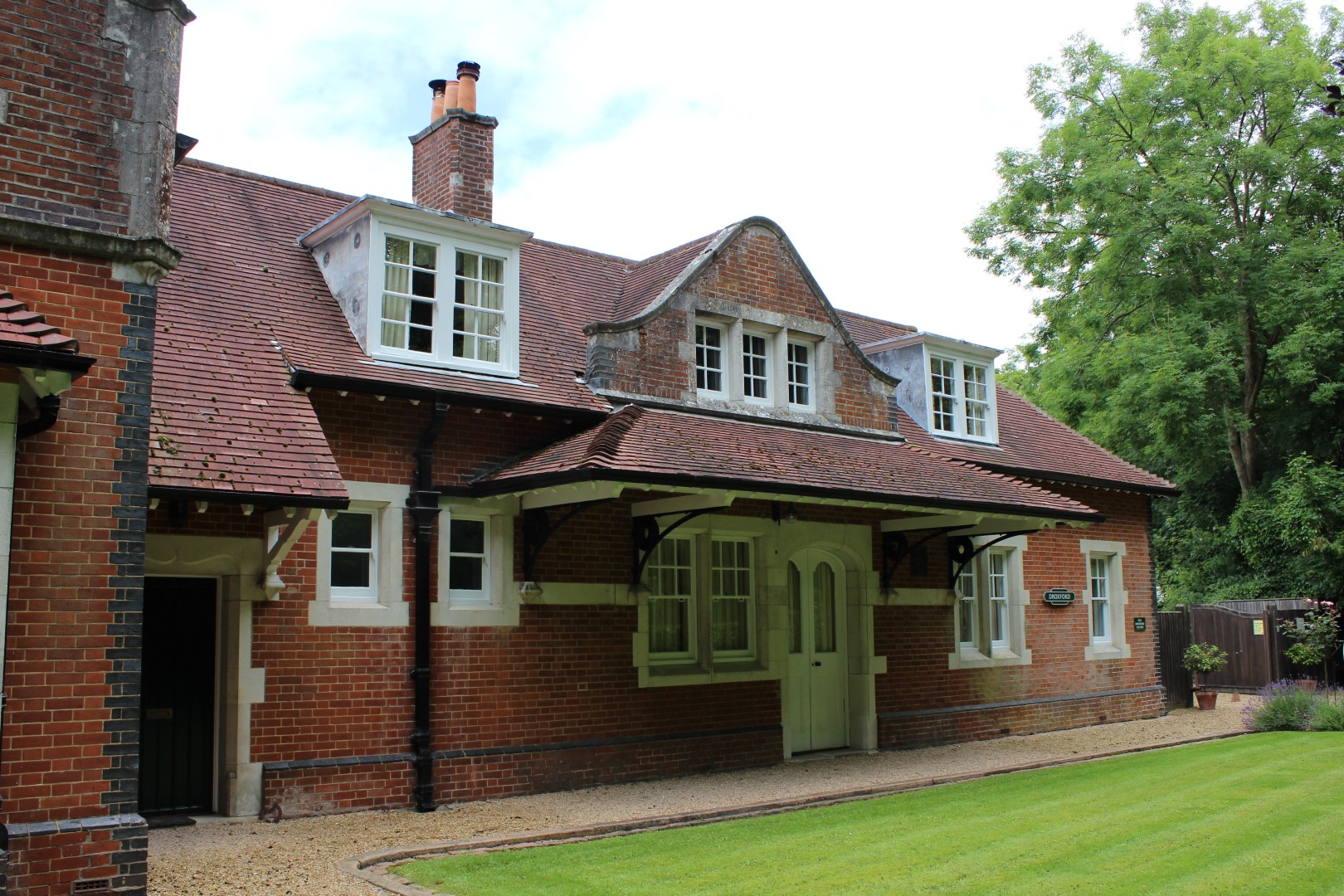
The Old Rectory, Droxford
Heritage Site in Hampshire Winchester
England
The Old Rectory, Droxford
The Old Rectory, located in the picturesque village of Droxford in Hampshire, is a heritage site of great historical significance. This Grade II listed building dates back to the 17th century and has been meticulously restored to maintain its original charm and architectural integrity.
The Old Rectory sits on a generous plot of land, surrounded by beautifully landscaped gardens and mature trees. The building itself is a fine example of Jacobean architecture, with its distinctive red brick façade and characteristic mullioned windows. The interior boasts a wealth of period features, including exposed timber beams, decorative plasterwork, and an impressive oak staircase.
Throughout its history, The Old Rectory has served various purposes. Originally built as a rectory, it later became a private residence before being transformed into a school during the 19th century. Today, it operates as a boutique bed and breakfast, offering guests a unique opportunity to experience a slice of history in luxurious surroundings.
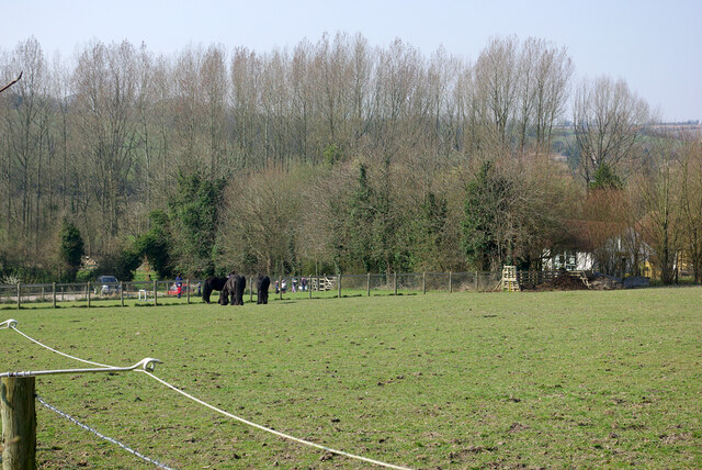
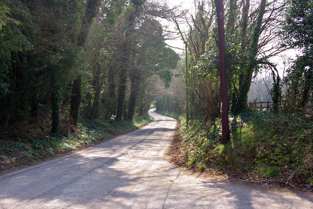
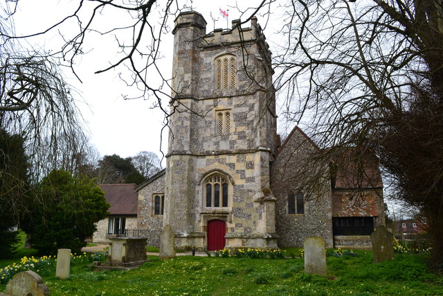
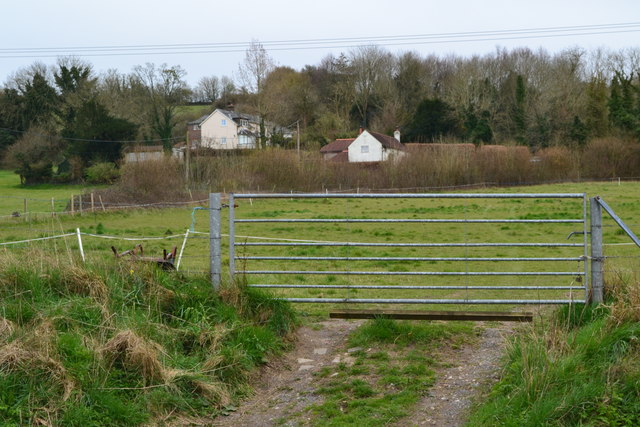
The Old Rectory is not only renowned for its architectural significance but also for its idyllic location. Situated in the heart of the South Downs National Park, visitors can enjoy breathtaking views of the surrounding countryside and explore the numerous walking trails and historic landmarks nearby. The village of Droxford itself is steeped in history, with its charming thatched cottages and ancient church adding to its rustic appeal.
Overall, The Old Rectory is a must-visit destination for history enthusiasts and those seeking a peaceful retreat in an exquisite setting. Its rich heritage, combined with its stunning location, make it a truly remarkable place to visit.
If you have any feedback on the listing, please let us know in the comments section below.
The Old Rectory, Droxford Images
Images are sourced within 2km of 50.96/-1.136 or Grid Reference SU6018. Thanks to Geograph Open Source API. All images are credited.


The Old Rectory, Droxford is located at Grid Ref: SU6018 (Lat: 50.96, Lng: -1.136)
Administrative County: Hampshire
District: Winchester
Police Authority: Hampshire
What 3 Words
///spells.flasks.nips. Near Swanmore, Hampshire
Nearby Locations
Related Wikis
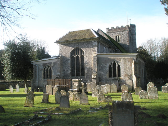
Church of St Mary and All Saints, Droxford
The Church of St Mary and All Saints is an Anglican church in the village of Droxford, in Hampshire, England. It is in the Diocese of Portsmouth, and is...

Droxford
Droxford (arch. Drokensford) is a village in Hampshire, England. == Geography == The village is clustered with slight ribbon development along its main...
Droxford railway station
Droxford railway station was an intermediate station on the Meon Valley Railway, built to a design by T. P. Figgis and opened in 1903. It served the villages...

Brockbridge
Brockbridge is a hamlet in Hampshire, England in the South Downs National Park . All parts are between a .5-mile (0.80 km) to 1-mile (1.6 km) walk across...
Related Videos
![WALKS IN HAMPSHIRE at MEONSTOKE, EXTON & CORHAMPTON (SOUTH DOWNS NATIONAL PARK) [4K]](https://i.ytimg.com/vi/LxHE8s7rCCg/hqdefault.jpg)
WALKS IN HAMPSHIRE at MEONSTOKE, EXTON & CORHAMPTON (SOUTH DOWNS NATIONAL PARK) [4K]
This is another video in my series “Walks in Hampshire” accompanied by my Whippet (Logan). In this episode, I visit the village of ...
I’m Back, Beacon Hill South Downs Way
After a 6 months of not doing a lot partly due to Covid restrictions and trying to find the motivation to get back outside again I travel ...

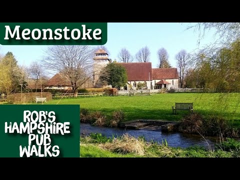
#67 Rob's Hampshire Pub Walks ( A Meonstoke Meander, South Downs National Park)
A Meonstoke Meander...4 miles approx. A short little walk from one of the most picturesque pubs in Hampshire. Discover this ...
Nearby Amenities
Located within 500m of 50.96,-1.136Have you been to The Old Rectory, Droxford?
Leave your review of The Old Rectory, Droxford below (or comments, questions and feedback).