The Mount
Heritage Site in Gloucestershire
England
The Mount

The Mount, located in Gloucestershire, England, is a historic heritage site that holds immense historical and cultural significance. Situated atop a prominent hill, The Mount offers breathtaking panoramic views of the surrounding countryside, making it a popular tourist attraction.
The site is believed to have been inhabited since prehistoric times, with evidence of Iron Age settlements found in the area. However, the most notable feature of The Mount is its medieval castle, which was constructed in the 12th century. The castle served as a defensive stronghold due to its strategic position, guarding the nearby town of Gloucester.
Over the centuries, The Mount underwent several modifications and expansions, reflecting the changing needs and architectural styles of the time. Today, visitors can explore the ruins of the castle, which provide a fascinating glimpse into the region's medieval history. The remnants of the keep, gatehouse, and curtain walls still stand, evoking the grandeur and strength of the original structure.
In addition to its historical significance, The Mount is also renowned for its natural beauty. The surrounding landscape is adorned with lush greenery, and the hilltop location offers stunning views of the Gloucestershire countryside. Many visitors take the opportunity to enjoy a leisurely walk or picnic on the grounds, immersing themselves in both the history and the scenic splendor of the site.
Overall, The Mount in Gloucestershire stands as a testament to the region's rich past. Its medieval castle, coupled with its picturesque setting, makes it a must-visit destination for history enthusiasts, nature lovers, and anyone seeking a memorable experience in the heart of England.
If you have any feedback on the listing, please let us know in the comments section below.
The Mount Images
Images are sourced within 2km of 51.792/-2.283 or Grid Reference SO8010. Thanks to Geograph Open Source API. All images are credited.


The Mount is located at Grid Ref: SO8010 (Lat: 51.792, Lng: -2.283)
What 3 Words
///gaps.hits.tall. Near Stonehouse, Gloucestershire
Nearby Locations
Related Wikis
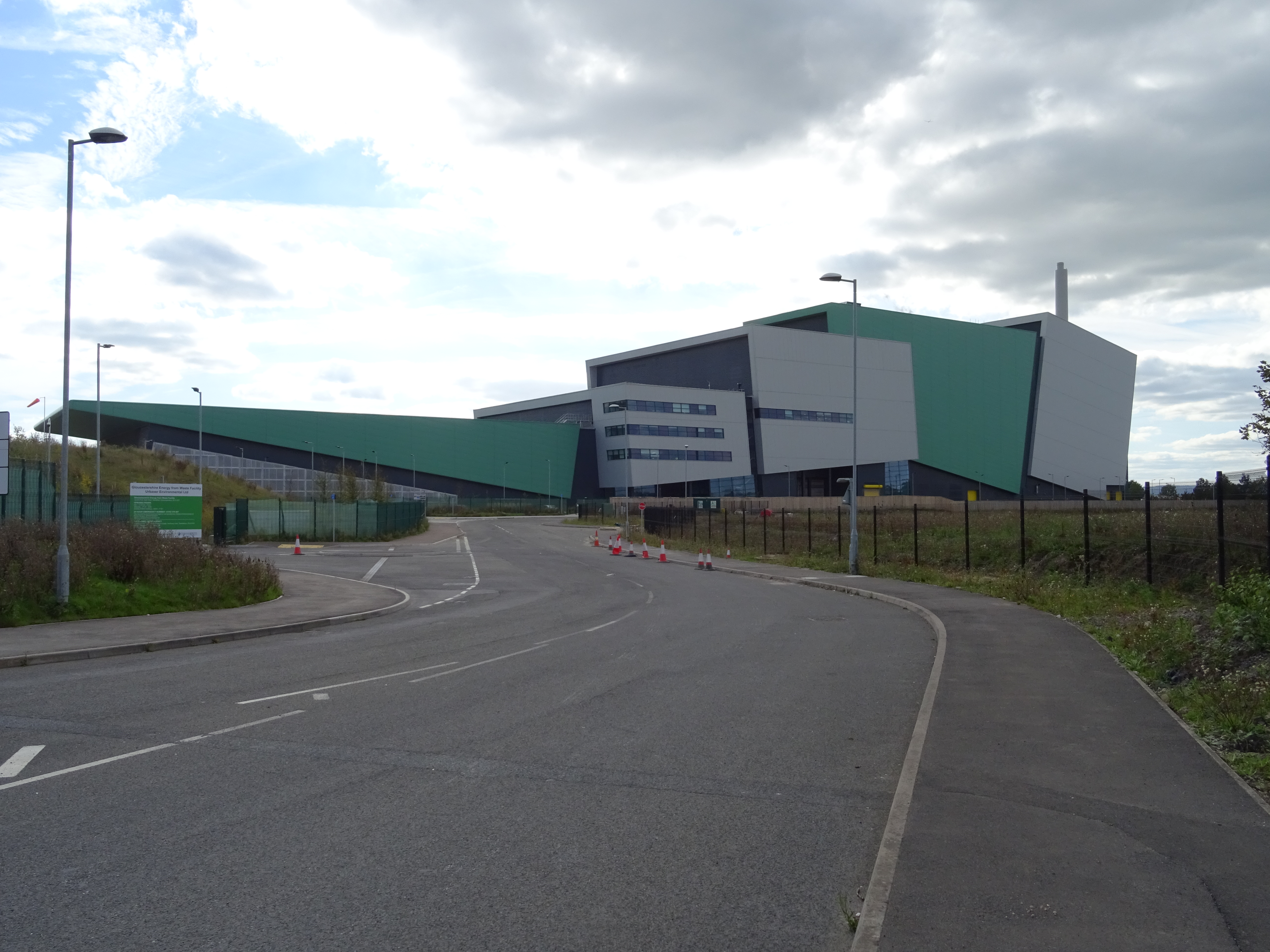
Gloucestershire EfW
Gloucestershire Energy from Waste Facility, also known as the Javelin Park Incinerator is a residual waste incinerator and energy-from-waste power station...

Haresfield railway station
Haresfield railway station served the village of Haresfield in Gloucestershire, England. == History == The station opened on 29 May 1854 on the Bristol...

Haresfield
Haresfield is a village near Gloucester, Gloucestershire, England around one mile from Junction 12 of the M5 motorway and between the villages of Brookthorpe...

RAF Moreton Valence
Royal Air Force Moreton Valence or more simply RAF Moreton Valence is a former Royal Air Force installation located 9 kilometres (5.6 mi) southwest of...
Haresfield Beacon
Haresfield Beacon (grid reference SO819088) is a 0.73-hectare (1.8-acre) geological Site of Special Scientific Interest in Gloucestershire, notified in...
Standish, Gloucestershire
Standish is a small village and civil parish in the Stroud local government district in Gloucestershire, England. The village is 5 kilometres (3.1 mi)...
Hunts Grove
Hunts Grove is a new build suburb, situated near the villages of Hardwicke and Haresfield, on the southern edge of the city of Gloucester. Building began...

Hardwicke Court
Hardwicke Court is a Grade II* listed country house in Hardwicke, Gloucestershire, England. The house is Late Georgian in style. It was designed by Sir...
Nearby Amenities
Located within 500m of 51.792,-2.283Have you been to The Mount?
Leave your review of The Mount below (or comments, questions and feedback).