The Mount
Heritage Site in Essex
England
The Mount

The Mount in Essex is a historically significant heritage site located in the village of Mountnessing. It is an ancient earthwork that dates back to the Iron Age, around 400 BC. The site is believed to have been a defensive structure, possibly a hillfort or a motte and bailey castle.
The Mount is situated on a gently sloping hill, and it consists of a circular mound surrounded by a ditch. The mound itself measures approximately 45 meters in diameter and stands at a height of around 5 meters. The ditch, which encircles the mound, is approximately 10 meters wide and 2 meters deep.
Archaeological excavations carried out at The Mount have revealed evidence of Iron Age occupation, including pottery fragments and animal bones. This suggests that the site was used as a settlement during this period.
Over the centuries, The Mount has undergone various modifications and adaptations. During the medieval period, it is thought to have been transformed into a small castle, with the addition of wooden structures on top of the mound.
Today, The Mount is a protected heritage site, recognized for its historical and archaeological significance. It attracts visitors who are interested in exploring its ancient past and experiencing the tranquil beauty of the surrounding countryside. The site is easily accessible, with footpaths leading to the top of the mound, providing panoramic views of the surrounding landscape.
If you have any feedback on the listing, please let us know in the comments section below.
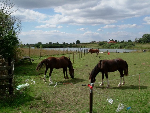
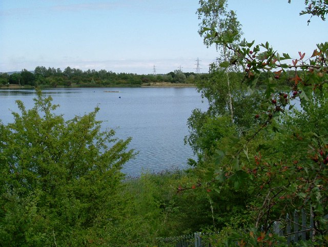
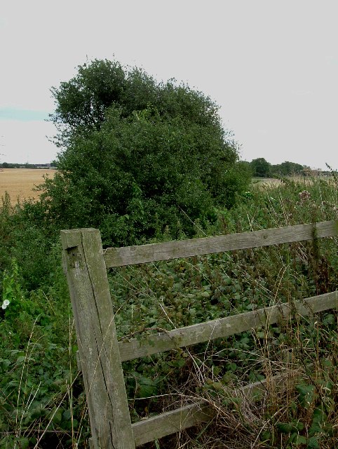
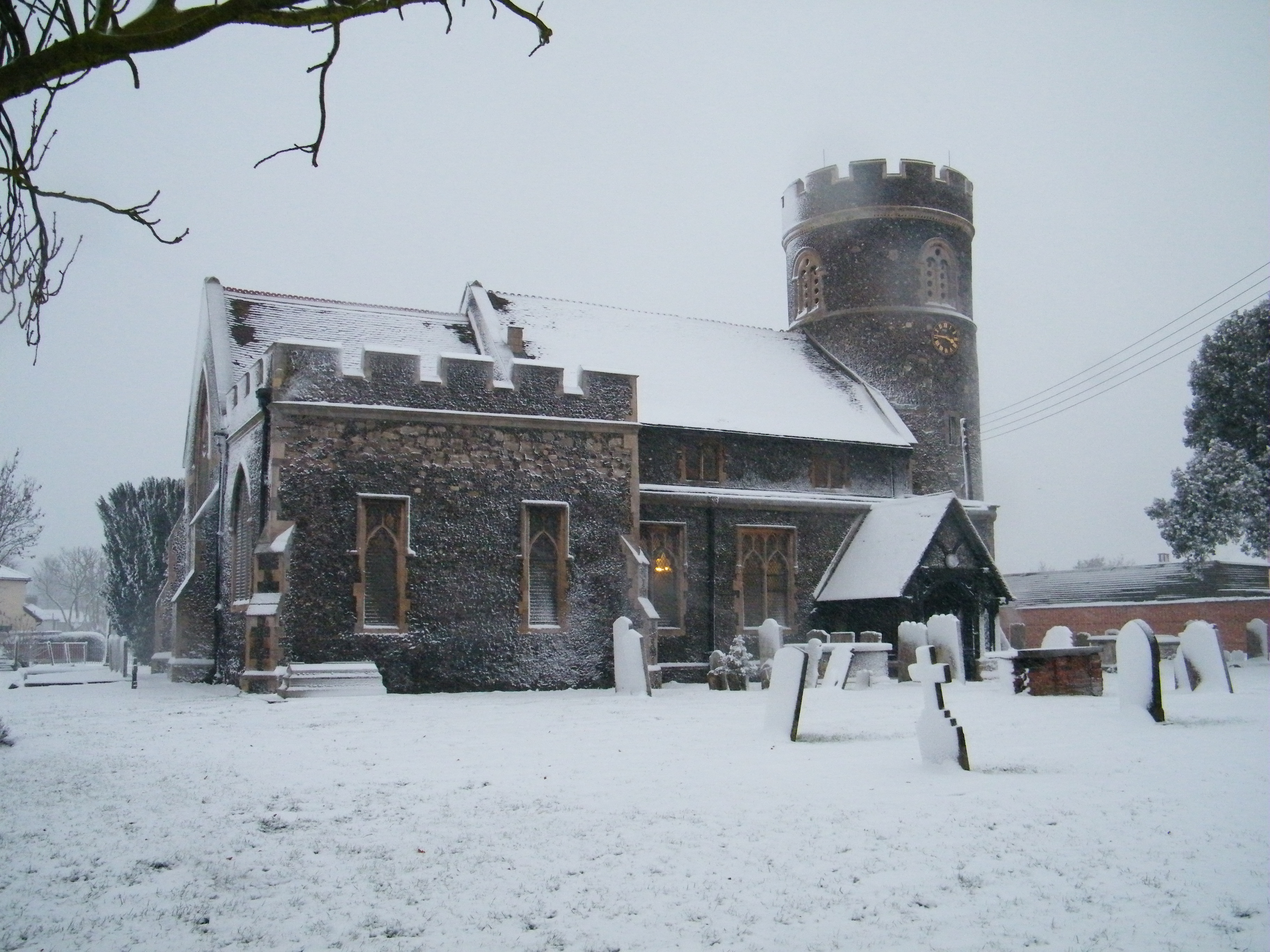
The Mount Images
Images are sourced within 2km of 51.527/0.313 or Grid Reference TQ6083. Thanks to Geograph Open Source API. All images are credited.


The Mount is located at Grid Ref: TQ6083 (Lat: 51.527, Lng: 0.313)
What 3 Words
///cowboy.couches.digits. Near South Ockendon, Essex
Nearby Locations
Related Wikis

South Ockendon Windmill
South Ockendon Windmill was a Smock mill at South Ockendon, Essex, England which collapsed on 2 November 1977. == History == South Ockendon Windmill was...
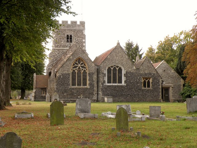
St Nicholas of Myra, South Ockendon
St Nicholas of Myra is a Grade I listed parish church in South Ockendon, Essex, England, 20 miles east of London and 8 miles south-east of Romford. The...
South Ockendon Hospital
South Ockendon Hospital (known locally as The Colony) was a hospital for patients with severe learning difficulties and for patients with major and rare...
South Ockendon
South Ockendon is a town, former civil parish and Church of England parish within the Thurrock borough in Essex in the East of England, United Kingdom...
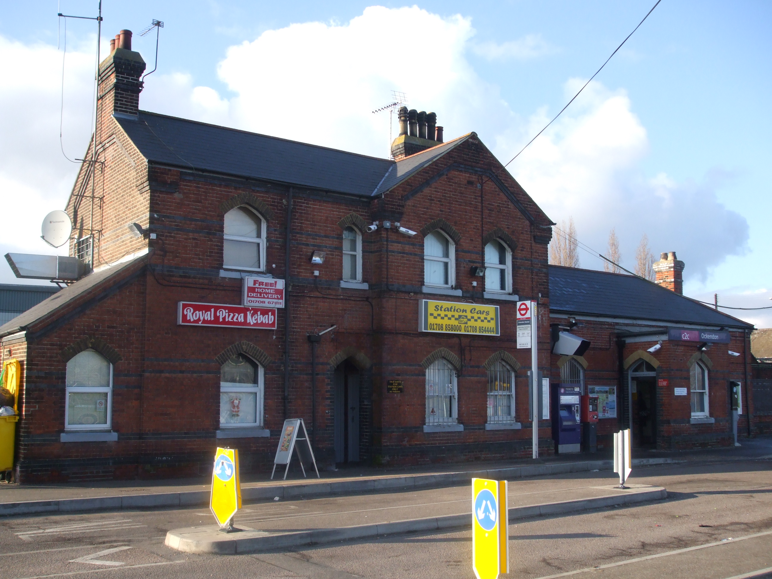
Ockendon railway station
Ockendon railway station is located on a passing loop on a single-track branch of the London, Tilbury and Southend line, serving the town of South Ockendon...
Church of St Mary Magdalene, North Ockendon
The church of St Mary Magdalene is a Church of England religious building in North Ockendon, Greater London, England (and within the Upminster post town...
North Ockendon
North Ockendon is the easternmost settlement of Greater London, England, and part of the London Borough of Havering. It is 18 miles (29 km) east-northeast...

Beacon Hill Academy
Beacon Hill Academy (formerly Beacon Hill School) is a coeducational special school with academy status located in South Ockendon, Essex, England. The...
Nearby Amenities
Located within 500m of 51.527,0.313Have you been to The Mount?
Leave your review of The Mount below (or comments, questions and feedback).