The Judge's Cairn

Heritage Site in Perthshire

Scotland

The Judge's Cairn

Farm tracks near Nether Glastry
Farm tracks near Nether Glastry Credit: Steven Brown

The Judge's Cairn is a historical site located in Perthshire, Scotland. It is a stone monument that is said to mark the spot where a corrupt judge was buried in the 17th century. The judge, known for his harsh and unjust rulings, was allegedly killed by a group of angry locals who were fed up with his tyranny.

The cairn is made up of large stones piled on top of each other, forming a small, mound-like structure. It is believed to have been erected by the community as a form of retribution and a warning to other corrupt officials.

Visitors to The Judge's Cairn can explore the site and learn about the history and folklore surrounding the judge's burial. The cairn is located in a picturesque setting, surrounded by rolling hills and lush greenery, making it a popular destination for hikers and history enthusiasts alike.

The Judge's Cairn serves as a reminder of the consequences of abuse of power and injustice, and stands as a testament to the resilience and determination of ordinary people in the face of oppression.

If you have any feedback on the listing, please let us know in the comments section below.

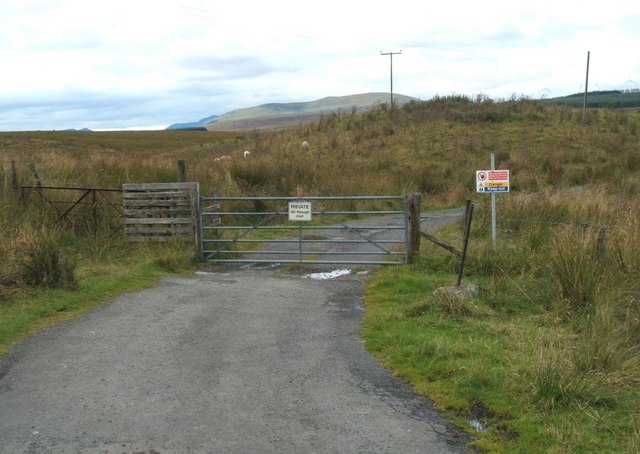
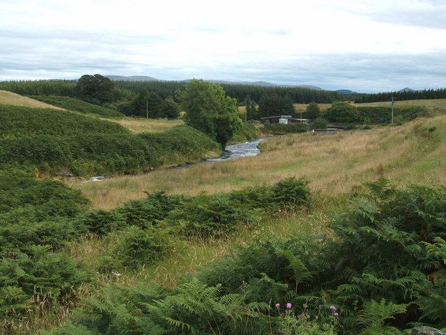
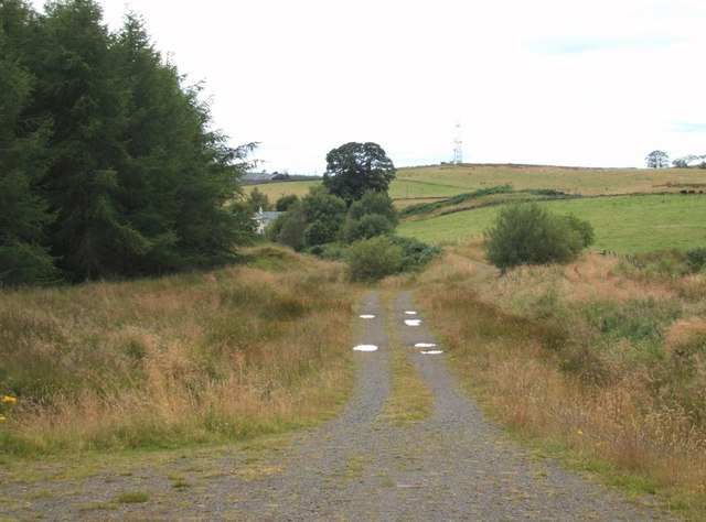
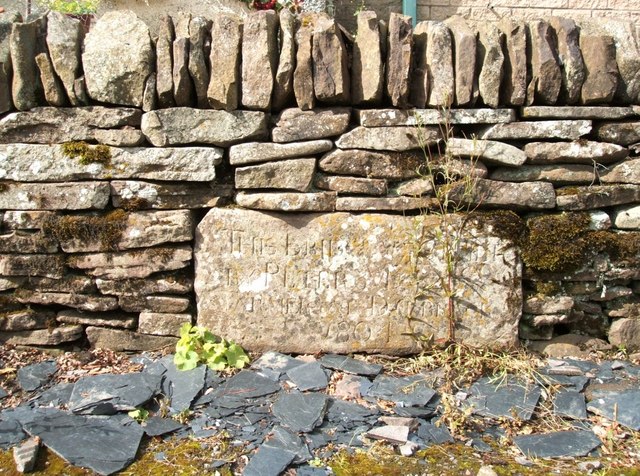
The Judge's Cairn Images

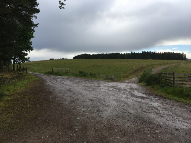
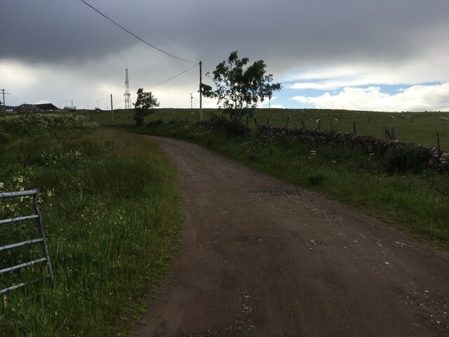
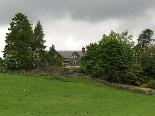
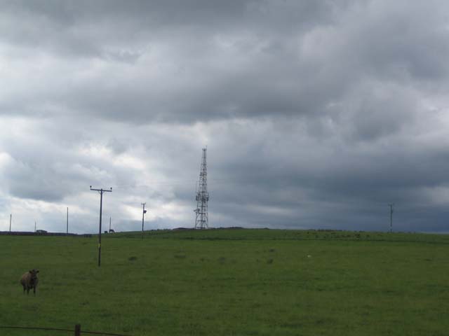
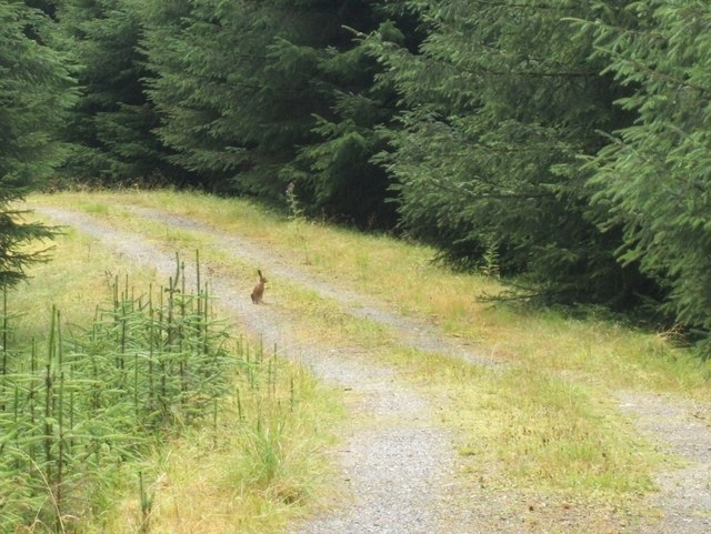
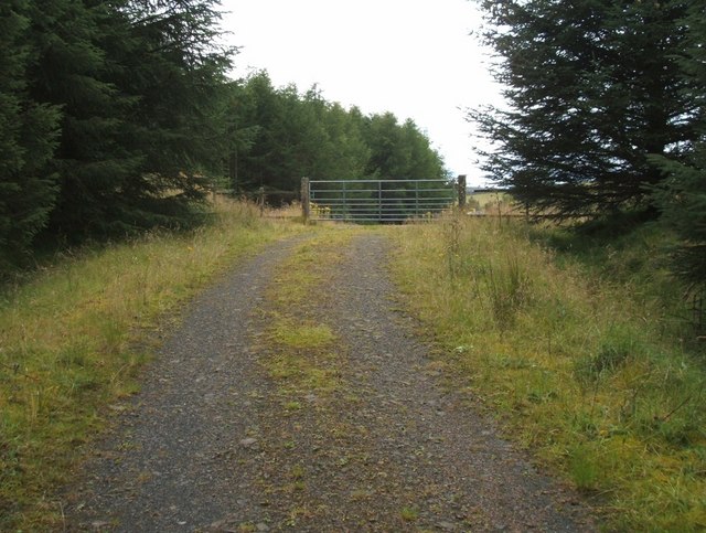
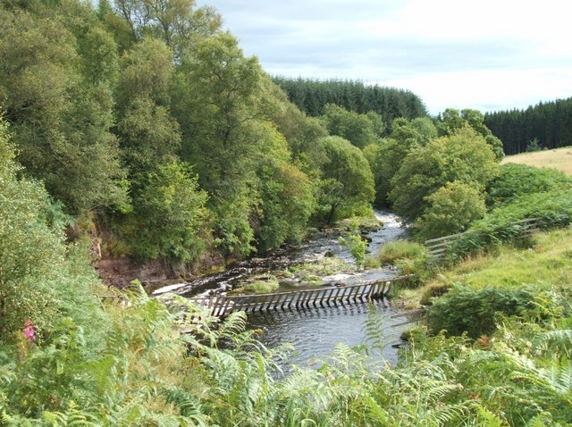
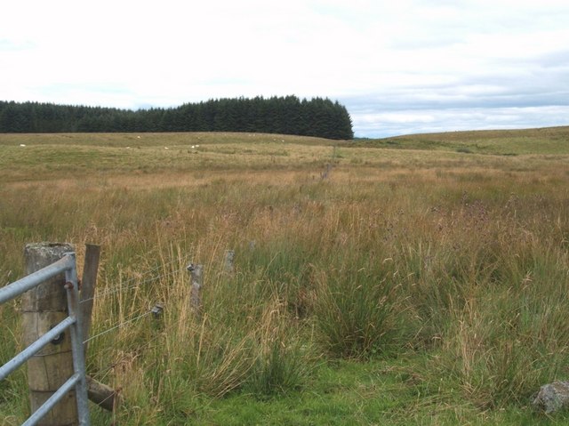
Images are sourced within 2km of 56.225/-4.04 or Grid Reference NN7305. Thanks to Geograph Open Source API. All images are credited.
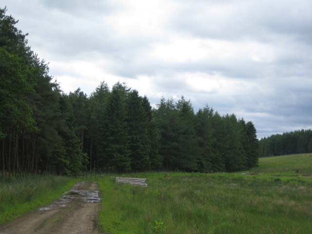
Farm tracks near Nether Glastry
Farm road to Dalbrack
The Bows Viewed from the bridge over Ardoch Burn below.
The Bows
Viewed from the bridge over Ardoch Burn below.
Radio mast at Dalbrack
Nether Glastry Plantation Now quite an open mature forest.
Nether Glastry Plantation
Now quite an open mature forest.
Red Kite viewing centre Part of Lerrocks farm this is now a popular spot for viewing red kites.
Red Kite viewing centre
Part of Lerrocks farm this is now a popular spot for viewing red kites.
East from Wester Lundie Track that doesn't appear to go anywhere [on geograph map]
East from Wester Lundie
Track that doesn't appear to go anywhere [on geograph map]
N/E from Wester Lundie Looking further up the hillside. A few animals in the distance.
N/E from Wester Lundie
Looking further up the hillside. A few animals in the distance.
Towards Upper Grainston Forestry track heading north east. There was obviously a hare hiding nearby, as I snapped it, on the way back down at almost the same spot.
Towards Upper Grainston
Forestry track heading north east. There was obviously a hare hiding nearby, as I snapped it, on the way back down at almost the same spot.
Hare today, gone in 30 seconds Coming back down the track, heading for Auld Dalbrack.
Hare today, gone in 30 seconds
Coming back down the track, heading for Auld Dalbrack.
Forestry Exit Gate Heading towards Auld Dalbrack.
Forestry Exit Gate
Heading towards Auld Dalbrack.
Ardoch Burn I've seen rivers that haven't been as wide! Looking downstream from the northern side as it turns sharply right, faced with the challenge of the sandstone banking.
Ardoch Burn
I've seen rivers that haven't been as wide! Looking downstream from the northern side as it turns sharply right, faced with the challenge of the sandstone banking.
Field boundary fence Looking up the fence line, towards the forest.
Field boundary fence
Looking up the fence line, towards the forest.
North towards The Bows No arrows! but a couple of privacy signs. Had number one assistant with me and she said not to proceed any further.
North towards The Bows
No arrows! but a couple of privacy signs. Had number one assistant with me and she said not to proceed any further.
South East towards Auld Dalbrack Looking over the Ardoch Burn in full flow.
South East towards Auld Dalbrack
Looking over the Ardoch Burn in full flow.
Auld Dalbrack The track leads down to Auld Dalbrack and you can just see Dalbrack Farm, slightly behind on sky line.
Auld Dalbrack
The track leads down to Auld Dalbrack and you can just see Dalbrack Farm, slightly behind on sky line.
Auld Dalbrack Date Stone Built into boundary wall right in front of Auld Dalbrack. The inscription reads "This Bridge Was Built by Peter ......  Farmer at Dalbrack  1804"
Can't make out his second name. 
There are two bridges close by. One has a warning that it is unsafe. Don't know which one Peter built, or if his actually remains standing.
Auld Dalbrack Date Stone
Built into boundary wall right in front of Auld Dalbrack. The inscription reads "This Bridge Was Built by Peter ...... Farmer at Dalbrack 1804" Can't make out his second name. There are two bridges close by. One has a warning that it is unsafe. Don't know which one Peter built, or if his actually remains standing.
Red Kite Centre Several twitchers were there, as I stumbled across the hide, coming from Nether Glastry.
Red Kite Centre
Several twitchers were there, as I stumbled across the hide, coming from Nether Glastry.
Show me another place!

The Judge's Cairn is located at Grid Ref: NN7305 (Lat: 56.225, Lng: -4.04)

Unitary Authority: Stirling

Police Authority: Forth Valley

What 3 Words

///dwarf.armrest.facelift. Near Doune, Stirling

Related Wikis

Argaty

Argaty is a farm estate located just over a mile northeast of Doune, Stirling, Scotland. The present Argaty House dates from the 19th century with baronial...

Kilbryde Castle

Kilbryde Castle is a castellated Scottish castle in the Scots baronial style. The castle lies on the A820 between Doune and Dunblane in southern Perthshire...

Doune Hillclimb

Doune Hillclimb, Carse of Cambus, near Doune in the district of Stirling, Scotland, is the home of the only round of the British Hill Climb Championship...

Doune railway station

Doune was a railway station located in Doune, in the council area of Stirling, Scotland. The station was rebuilt in typical Caledonian Railway style in...

Have you been to The Judge's Cairn?

Leave your review of The Judge's Cairn below (or comments, questions and feedback).