The Hall

Heritage Site in Derbyshire Derbyshire Dales

England

The Hall

Doveridge Road crossing the A50
Doveridge Road crossing the A50 Credit: David Howard

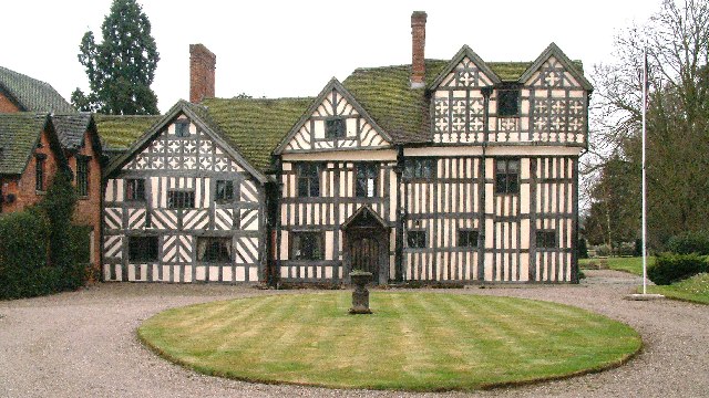
The Hall, located in the county of Derbyshire, England, is a historic heritage site that holds immense cultural significance. Originally built in the 16th century, The Hall is a prime example of Tudor architecture and has remained well-preserved over the centuries. It is situated amidst picturesque surroundings, nestled within lush greenery and rolling hills.

The Hall boasts a stunning façade with its characteristic half-timbered design, showcasing the traditional craftsmanship of the era. The interior of the building exhibits a wealth of original features, including intricately carved wooden beams, stone fireplaces, and ornate plasterwork. Visitors are transported back in time as they explore the various rooms, each exuding a distinct historical charm.

The estate surrounding The Hall is equally captivating, featuring beautifully landscaped gardens and tranquil water features. The meticulously maintained grounds offer visitors the opportunity to wander through vibrant flower beds, stroll along tree-lined pathways, and relax in peaceful courtyards. Additionally, the estate is home to a variety of wildlife, adding a touch of nature's beauty to the overall experience.

The Hall also offers educational tours and interactive exhibits, allowing visitors to delve deeper into its rich history. Knowledgeable guides provide fascinating insights into the lives of the families who once resided within its walls, as well as the architectural techniques employed during its construction.

Overall, The Hall stands as a testament to the enduring legacy of Tudor architecture and provides a captivating glimpse into the past. It is a must-visit destination for history enthusiasts, architecture lovers, and those seeking a serene escape in the heart of Derbyshire.

If you have any feedback on the listing, please let us know in the comments section below.
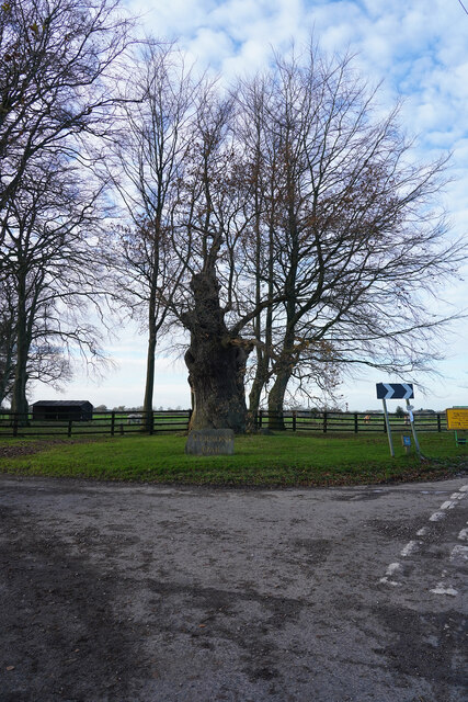
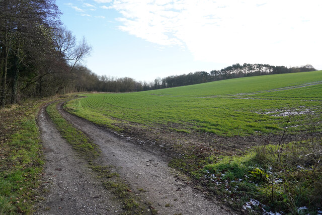
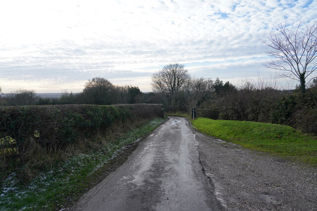
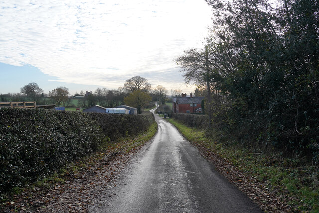
The Hall Images

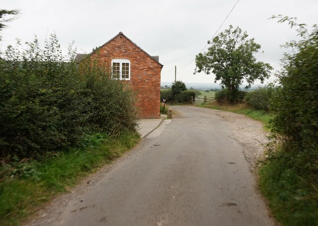
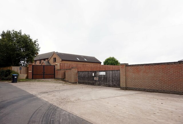
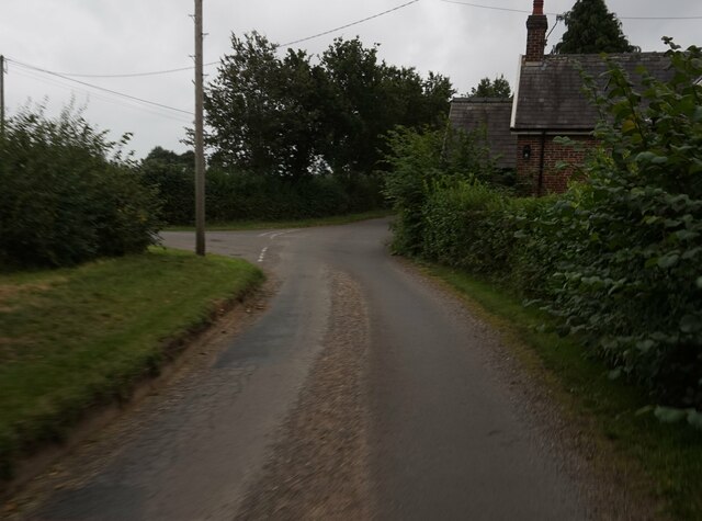
Images are sourced within 2km of 52.917/-1.8 or Grid Reference SK1335. Thanks to Geograph Open Source API. All images are credited.

Doveridge Road crossing the A50
Houses on Derby Road, Doveridge
Derby Road, Doveridge
Somersal Lane at Banktop Farm
Track leading to The Wood House
Hollywood Farm on Bowling Alley Lane
Stile on Bowling Alley Lane near Walnut Cottage
Bowling Alley Lane at Potters Farm
Bowing Alley Lane near Somersal House
Minor road at Hill Farm
Marston Lane Looking along Marston Lane in the direction of the village which is about three miles away. There are frozen fields to both sides of the lane.
Marston Lane
Looking along Marston Lane in the direction of the village which is about three miles away. There are frozen fields to both sides of the lane.
Marston Lane The frost on the road surface tells you it is still pretty cold even at the start of the afternoon.
Marston Lane
The frost on the road surface tells you it is still pretty cold even at the start of the afternoon.
Looking across the fields The view from Hollyhurst Lane across a farm gate and frozen fields.
Looking across the fields
The view from Hollyhurst Lane across a farm gate and frozen fields.
Hollyhurst Lane Every where there is some shade the frost still lies on the road.
Hollyhurst Lane
Every where there is some shade the frost still lies on the road.
Vernon's Oak I do not know who Vernon was, or is, but the large Oak has a stone name plaque in front of it as it grows by the junction of Oak Lane and a seemingly unnamed very minor road.
Vernon's Oak
I do not know who Vernon was, or is, but the large Oak has a stone name plaque in front of it as it grows by the junction of Oak Lane and a seemingly unnamed very minor road.
A view off Vernon's Oak Lane Vernon's Oak Lane is an extremely narrow Lane with a very poor surface, along which I drove behind half a dozen Pheasants who could not get off the lane for quite a while.
A view off Vernon's Oak Lane
Vernon's Oak Lane is an extremely narrow Lane with a very poor surface, along which I drove behind half a dozen Pheasants who could not get off the lane for quite a while.
Near Somersal Herbert Somersal Herbert is more of a hamlet than a village being very tiny. It does however have some very interesting houses one of which is, I think, Elizabethan.
Near Somersal Herbert
Somersal Herbert is more of a hamlet than a village being very tiny. It does however have some very interesting houses one of which is, I think, Elizabethan.
Grove Lane Grove Lane looking down the hill to a cottage or two.
Grove Lane
Grove Lane looking down the hill to a cottage or two.
Show me another place!

The Hall is located at Grid Ref: SK1335 (Lat: 52.917, Lng: -1.8)

Administrative County: Derbyshire

District: Derbyshire Dales

Police Authority: Derbyshire

What 3 Words

///replays.educates.limits. Near Doveridge, Derbyshire

Nearby Locations

Somersal Herbert The Hall

Related Wikis

Somersal Herbert Hall

Somersal Herbert Hall is a privately owned timber-framed 16th-century country house at Somersal Herbert, near Ashbourne, Derbyshire, in England. It is...

Somersal Herbert

Somersal Herbert is a hamlet and civil parish in Derbyshire, England, 2 miles northeast of Doveridge. Somersal Herbert Hall was built c.1564, incorporating...

Sudbury Rural District

Sudbury was a rural district of Derbyshire in England from 1894 to 1934. It was created from the part of the Uttoxeter rural sanitary district that was...

Waldley

Waldley is a hamlet in Derbyshire, England. It is located 2 miles (3.2 km) north of Doveridge. Waldley has had many spellings, let alone pronunciations...

Brocksford Hall

Brocksford Hall is a country house about one mile (1.6 km) east of Doveridge village, in the south west corner of Derbyshire, England. It is recorded...

Doveridge

Doveridge is a village and civil parish in Derbyshire, United Kingdom, near the border with Staffordshire and about 2 km (1.2 mi) east of Uttoxeter. Its...
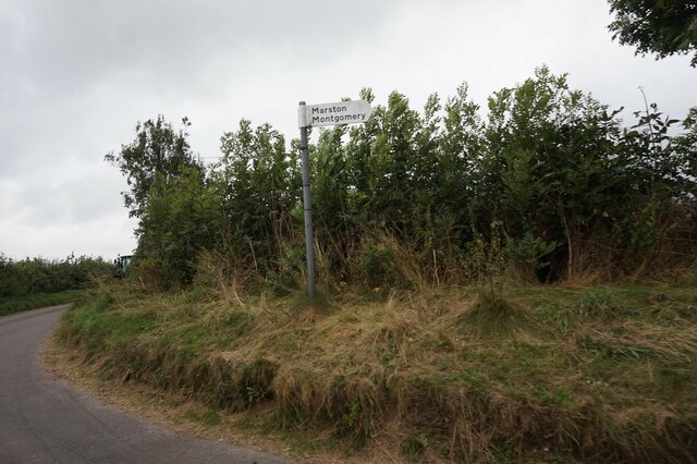
Marston Montgomery

Marston Montgomery is a small village and civil parish in western Derbyshire. The population of the civil parish as of the 2011 census was at least 3....

M64 motorway

The United Kingdom's M64 motorway was planned during the 1970s to link the M6 at Stoke-on-Trent with the M1 near Castle Donington, by way of Uttoxeter...

Nearby Amenities

Located within 500m of 52.917,-1.8
Somersal Herbert
Place: hamlet
Wikidata: Q2746813
Lat/Long: 52.9141454/-1.7968343
Barrier: stile
Lat/Long: 52.9131712/-1.8020811
Somersal Herbert Cottages
Tourism: chalet
Lat/Long: 52.9155901/-1.8006134
Post Box
Operator: Royal Mail
Post Box Type: lamp
Ref: DE6 272
Royal Cypher: EIIR
Royal Cypher Wikidata: Q33102113
Lat/Long: 52.9140135/-1.7969792
Ele: 120.0000000
Lat/Long: 52.9205525/-1.7955928
Ele: 116.0000000
Lat/Long: 52.9203331/-1.8009194
Ele: 100.0000000
Lat/Long: 52.9196387/-1.8041103
Ele: 92.0000000
Lat/Long: 52.9192546/-1.8058167
Addr Housename: Church Cottage
Building: residential
Source: Bing;survey
Lat/Long: 52.91409/-1.7992735
Somersal Herbert Hall
Addr Housename: Somersal Herbert Hall
Building: residential
Historic: house
Wikidata: Q7559783
Wikipedia: en:Somersal Herbert Hall
Lat/Long: 52.9134853/-1.7979111
Addr Housename: The Grange
Building: residential
Lat/Long: 52.9147523/-1.8008856
Historic: memorial
Lat/Long: 52.9136051/-1.798871
Telephone
Booth: K6
Covered: booth
Listed Status: Grade II
Operator: BT
Phone: +44 1283 585266
Lat/Long: 52.9139519/-1.7977038
Grit Bin
Lat/Long: 52.9140126/-1.7969203
The data included in this document is from www.openstreetmap.org. The data is made available under ODbL.

Have you been to The Hall?

Leave your review of The Hall below (or comments, questions and feedback).