The Grey Stone

Heritage Site in Perthshire

Scotland

The Grey Stone

Glendoick Garden Centre A handy stop for a light meal as well as a garden centre with all the trimmings.
Glendoick Garden Centre Credit: Anne Burgess

The Grey Stone is a historic heritage site located in Perthshire, Scotland. It is an ancient standing stone, believed to date back to the Neolithic period, making it over 5,000 years old. The stone is situated in a picturesque rural setting, surrounded by rolling hills and lush greenery.

The Grey Stone stands at an impressive height of approximately 3.5 meters and is composed of a type of local granite. Its surface is weathered and worn, showcasing the passage of time and the elements it has endured. The stone is a prominent feature in the landscape and is often visited by tourists and history enthusiasts.

The purpose and significance of The Grey Stone remain a mystery to archaeologists and historians. Some theories suggest that it may have served as a marker or boundary stone, while others speculate that it had ritual or religious importance for the ancient people who erected it. The stone's enigmatic nature adds to its allure and intrigue.

Visitors to The Grey Stone can explore the surrounding area, taking in the stunning natural beauty and contemplating the mysteries of the ancient past. Interpretative panels provide information about the stone's history and its potential significance, allowing visitors to delve deeper into its story.

The Grey Stone is a fascinating and evocative heritage site, offering a glimpse into the ancient history of Perthshire. Its age and enigmatic nature make it a must-visit destination for those interested in Scotland's rich cultural heritage.

If you have any feedback on the listing, please let us know in the comments section below.

The Grey Stone Images

Images are sourced within 2km of 56.38/-3.255 or Grid Reference NO2221. Thanks to Geograph Open Source API. All images are credited.

Glendoick Garden Centre A handy stop for a light meal as well as a garden centre with all the trimmings.
Glendoick Garden Centre
A handy stop for a light meal as well as a garden centre with all the trimmings.
Glendoick Garden Centre Situated alongside the very busy dual-carriageway (A90) that runs from Perth to Dundee.
Glendoick Garden Centre
Situated alongside the very busy dual-carriageway (A90) that runs from Perth to Dundee.
Agriculture in Leetown The field containing this machinery store is occupied by a few sheep. Looking northwards across Glencarse.
Agriculture in Leetown
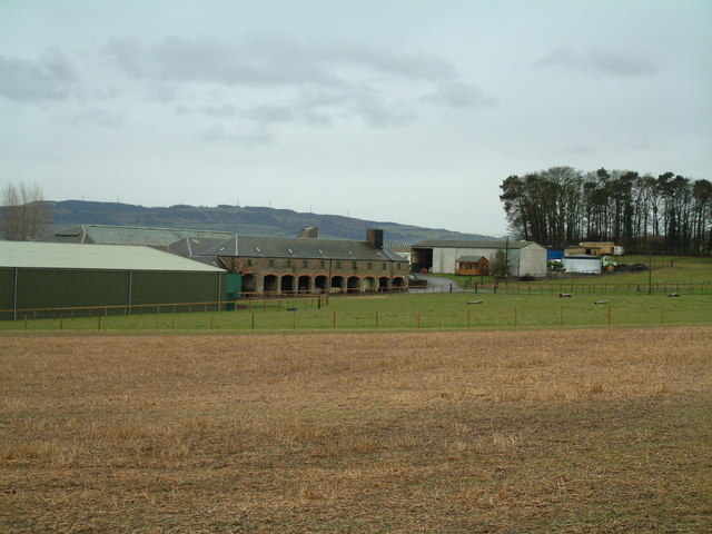
The field containing this machinery store is occupied by a few sheep. Looking northwards across Glencarse.
Track in Carse of Gowrie Looking south towards Paddockmuir Wood, backed by the hills above Newburgh on the opposite bank of the Tay.
Track in Carse of Gowrie
Looking south towards Paddockmuir Wood, backed by the hills above Newburgh on the opposite bank of the Tay.
Pump This fine pump stands outside a farm on the edge of Leetown.
Pump
This fine pump stands outside a farm on the edge of Leetown.
Farm sale A displenish sale at Gallowflat Farm.
Farm sale
A displenish sale at Gallowflat Farm.
Gallowflat Farm Seen from the south.
Gallowflat Farm
Seen from the south.
Hill of Errol Farm Road Level farm road leading to the rather perversely named farm on the virtually billiard-table flat alluvial plain of the River Tay
Hill of Errol Farm Road
Level farm road leading to the rather perversely named farm on the virtually billiard-table flat alluvial plain of the River Tay
Track by the wood Track leading north along the west side of Murie wood
Track by the wood
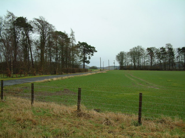
Track leading north along the west side of Murie wood
Crossroads by Ardgaith The road ahead leads towards Ardgaith.
Crossroads by Ardgaith
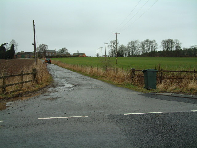
The road ahead leads towards Ardgaith.
Ardgaith level crossing A minor road crossing the main Perth to Dundee railway line
Ardgaith level crossing
A minor road crossing the main Perth to Dundee railway line
Mains of Murie farm road Looking north
Mains of Murie farm road
Looking north
Murie Cemetery
Murie Cemetery
Mains of Errol
Mains of Errol
Slip road The new slip road at Glendoick runs alongside the Dundee bound carriageway of the A90, this green barrier has been erected to prevent glare from oncoming car headlights. <a href="https://www.geograph.org.uk/photo/324959">NO2123 : New Flyover</a>
Slip road
The new slip road at Glendoick runs alongside the Dundee bound carriageway of the A90, this green barrier has been erected to prevent glare from oncoming car headlights. NO2123 : New Flyover
Road The A90 at Glendoick looking towards Dundee.<a href="https://www.geograph.org.uk/photo/324959">NO2123 : New Flyover</a>
Road
The A90 at Glendoick looking towards Dundee.NO2123 : New Flyover
Shelter belt A belt of trees south west of Hill of Errol farm. The water glimpsed in the background is the estuary of the Tay.
Shelter belt
A belt of trees south west of Hill of Errol farm. The water glimpsed in the background is the estuary of the Tay.
Tayside trees A belt of trees beside the estuary of the Tay, protecting fields south of Hill of Errol farm.
Tayside trees
A belt of trees beside the estuary of the Tay, protecting fields south of Hill of Errol farm.
Show me another place!

The Grey Stone is located at Grid Ref: NO2221 (Lat: 56.38, Lng: -3.255)

Unitary Authority: Perth and Kinross

Police Authority: Tayside

What 3 Words

///facelift.pace.enacted. Near Errol, Perth & Kinross

Related Wikis

Leetown, Perth and Kinross

Leetown is a small community located at the western end of the Carse of Gowrie along the eastern seaboard of Scotland. It lies between the A90 road and...

Cottown, Perth and Kinross

Cottown is a village in Perth and Kinross, Scotland, east of the village of St.Madoes and approximately 8 miles (13 kilometres) east of Perth. This area...

Mugdrum Island

Mugdrum Island lies in the Firth of Tay, offshore from the town of Newburgh, Fife, in the east of Scotland. == Geography == Mugdrum is low-lying and reedy...

Pitfour Castle

Pitfour Castle is an 18th-century country house situated on the southeast edge of the village of St Madoes in the Carse of Gowrie, Perthshire, Scotland...

Nearby Amenities

Located within 500m of 56.38,-3.255
Clashbennie Standing Stone
Historic: monument
Lat/Long: 56.3777597/-3.2617776
Bus Stop
Hill Farm Cottages
Bus: yes
Public Transport: platform
Lat/Long: 56.3803448/-3.2528464
Power: pole
Lat/Long: 56.3778862/-3.2487767
Power: pole
Lat/Long: 56.3781102/-3.2497894
Power: pole
Lat/Long: 56.3783554/-3.2508445
Power: pole
Lat/Long: 56.3785853/-3.2519186
The data included in this document is from www.openstreetmap.org. The data is made available under ODbL.

Have you been to The Grey Stone?

Leave your review of The Grey Stone below (or comments, questions and feedback).