The Elms
Heritage Site in Norfolk
England
The Elms

The Elms, located in the county of Norfolk, England, is a historic heritage site that draws visitors from around the world. It is a fine example of a Georgian country house, showcasing architectural elegance and rich history. Built in the late 18th century, The Elms has managed to retain its original features, providing a glimpse into the past.
Surrounded by lush greenery and extensive gardens, The Elms offers a serene and picturesque setting. The house itself boasts a symmetrical façade, with large sash windows and a grand entrance. The interior is equally impressive, with beautifully decorated rooms that exhibit the opulence and style of the Georgian era. Visitors can explore the various rooms, including the drawing room, dining room, and library, each adorned with period furniture, artwork, and ornate details.
The gardens at The Elms are a delight to wander through, with well-manicured lawns, vibrant flowerbeds, and a peaceful lake. There are also several walking trails that offer breathtaking views of the surrounding countryside. The estate has been carefully maintained over the years, ensuring that the original design and layout remain intact.
In addition to its architectural and natural beauty, The Elms has a rich history. It has been home to several notable figures throughout the years, including prominent families and influential individuals. The house has witnessed significant events and has played a role in the local community.
Visiting The Elms provides a unique opportunity to step back in time and experience the grandeur of the Georgian era. With its well-preserved features, stunning gardens, and historical significance, this heritage site offers a truly memorable experience for all who visit.
If you have any feedback on the listing, please let us know in the comments section below.
The Elms Images
Images are sourced within 2km of 52.485/1.587 or Grid Reference TM4393. Thanks to Geograph Open Source API. All images are credited.


The Elms is located at Grid Ref: TM4393 (Lat: 52.485, Lng: 1.587)
What 3 Words
///rewriting.boat.keener. Near Beccles, Suffolk
Nearby Locations
Related Wikis

Stanley and Alder Carrs, Aldeby
Stanley and Alder Carrs, Aldeby is a 42.7-hectare (106-acre) biological Site of Special Scientific Interest east of Gillingham in Norfolk. It is part of...

Aldeby
Aldeby is a village and civil parish in the English county of Norfolk. It is bounded to the south by the River Waveney, on the other side of which is Suffolk...

Toft Monks
Toft Monks is a village and parish in Norfolk, England. It is located on the border of Norfolk and Suffolk about eleven miles southwest of Great Yarmouth...

Aldeby railway station
Aldeby railway station was a station in Aldeby, in the English county of Norfolk. It was on the line between Great Yarmouth and Beccles; the station was...
Wheatacre
Wheatacre is a civil parish in the English county of Norfolk. It covers an area of 4.38 km2 (1.69 sq mi) and had a population of 112 in 43 households at...
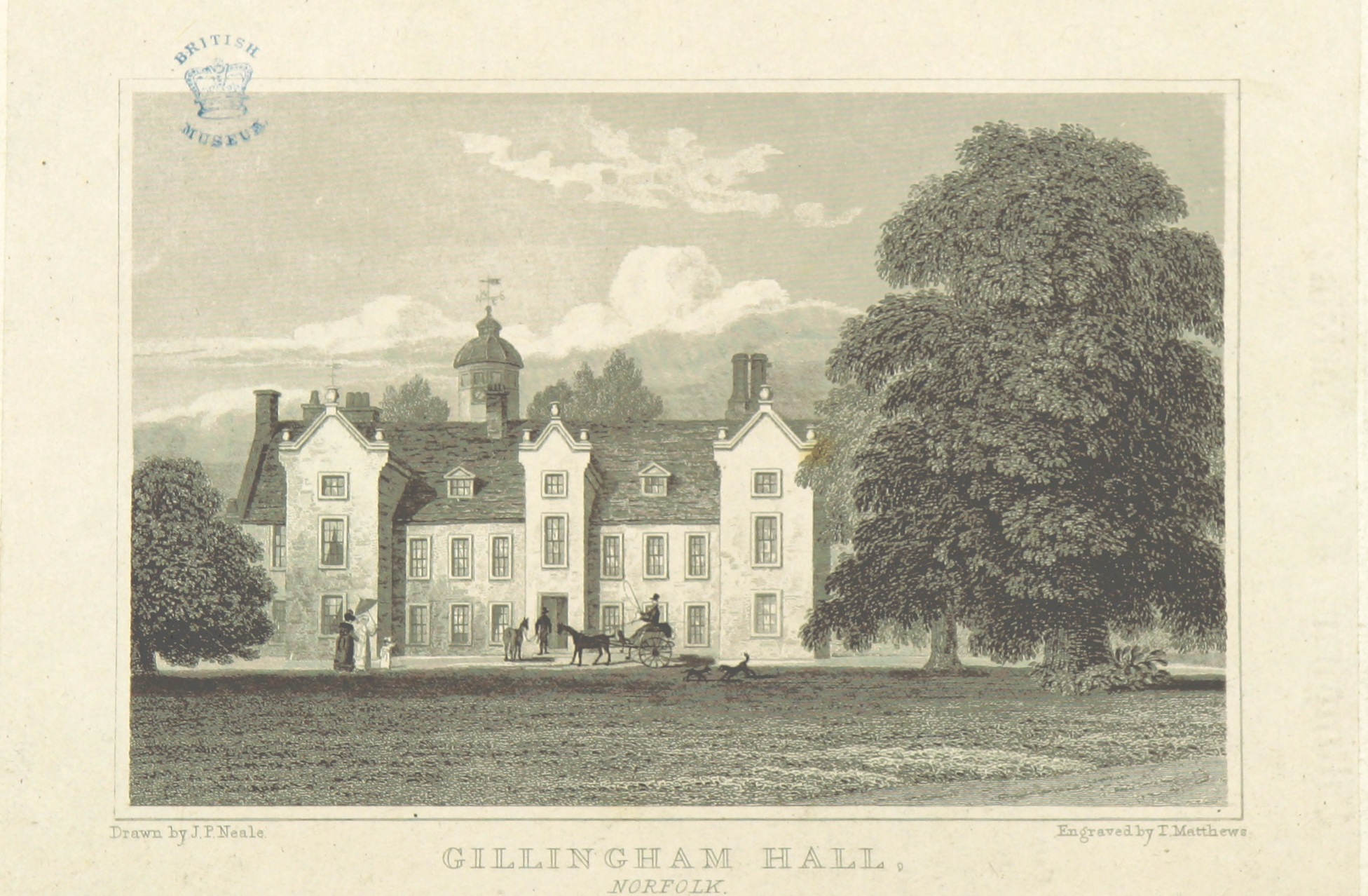
Gillingham Hall
Gillingham Hall is a Jacobean manor house in the village of Gillingham, Norfolk, England. It is a Grade II* Listed Building.The house has 10-bedrooms and...
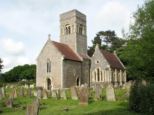
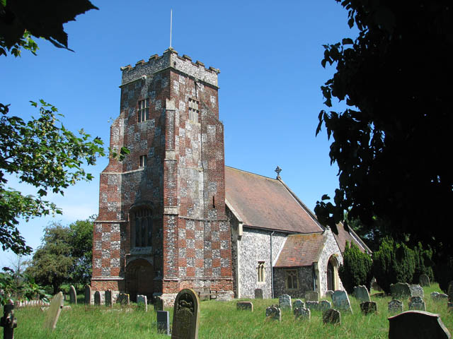
Gillingham, Norfolk
Gillingham ( GHIL-ing-əm) is a small village and civil parish in the English county of Norfolk. The villages is located 1.5 miles (2.4 km) north-west...

Haughey Air AgustaWestland AW139 crash
On 13 March 2014, an AgustaWestland AW139 helicopter of Haughey Air crashed shortly after taking off at night in fog from Gillingham, Norfolk, United Kingdom...
Nearby Amenities
Located within 500m of 52.485,1.587Have you been to The Elms?
Leave your review of The Elms below (or comments, questions and feedback).