The Cursus
Heritage Site in Wiltshire
England
The Cursus

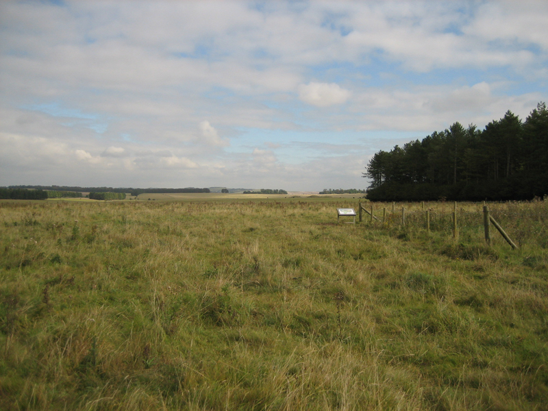
The Cursus, located in Wiltshire, England, is an ancient archaeological site that dates back to the Neolithic period, approximately 5000 years ago. Spread over a vast area, the Cursus is a large linear earthwork consisting of two parallel banks with a central ditch in between. It stretches for approximately 3 kilometers in length and is around 100 meters wide.
The purpose of the Cursus remains uncertain, as no artifacts or evidence of settlement have been found within its boundaries. However, its size and prominent location suggest that it held significant importance in the ancient landscape. Some theories propose that it may have served as a processional or ceremonial pathway, possibly used for religious rituals or community gatherings.
The construction of the Cursus required considerable manpower and resources. The banks were created by digging trenches and piling the excavated earth to form the raised banks we see today. The central ditch was likely dug out to provide a clear demarcation between the banks.
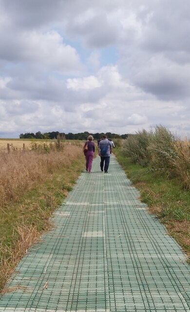
Although the Cursus has been altered over time due to farming and erosion, its striking presence in the Wiltshire countryside continues to captivate visitors. The site is accessible to the public and offers a unique opportunity to experience an ancient monument firsthand. Exploring the Cursus allows visitors to appreciate the ingenuity and skill of our Neolithic ancestors, as well as ponder the mysteries of its purpose and significance in their lives.
If you have any feedback on the listing, please let us know in the comments section below.
The Cursus Images
Images are sourced within 2km of 51.182/-1.835 or Grid Reference SU1142. Thanks to Geograph Open Source API. All images are credited.


The Cursus is located at Grid Ref: SU1142 (Lat: 51.182, Lng: -1.835)
Unitary Authority: Wiltshire
Police Authority: Wiltshire
What 3 Words
///factor.preparing.abode. Near Lark Hill, Wiltshire
Nearby Locations
Related Wikis

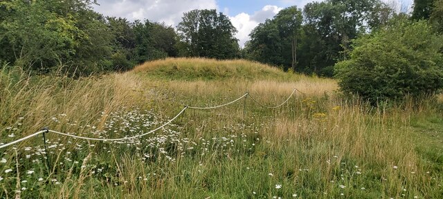
Cursus Barrows
The Cursus Barrows is the name given to a Neolithic and Bronze Age round barrow cemetery lying mostly south of the western end of the Stonehenge Cursus...

Heelstone Ditch
Heelstone Ditch is a roughly circular feature surrounding the Heel Stone at Stonehenge. It is not known if there was an intended relationship between the...
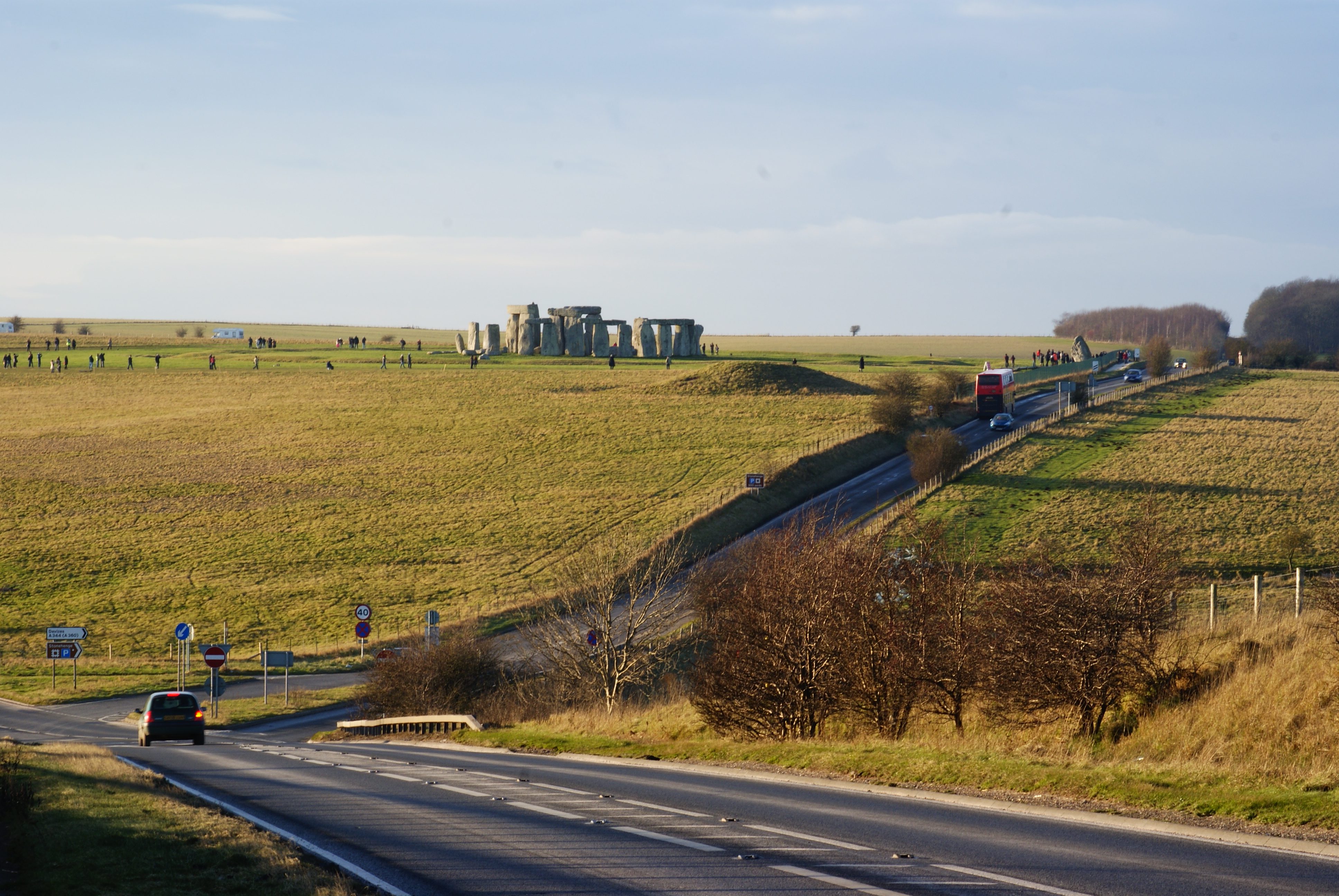
A344 road (England)
The A344 was an A road in the English county of Wiltshire. Until 2013 it ran from its junction with the A303 at Stonehenge, northwest to its junction with...
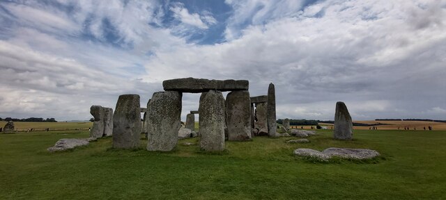
Stonehenge Landscape
The Stonehenge Landscape is a property of The National Trust, located on Salisbury Plain in Wiltshire, England. The estate (formerly known as Stonehenge...
Nearby Amenities
Located within 500m of 51.182,-1.835Have you been to The Cursus?
Leave your review of The Cursus below (or comments, questions and feedback).