The Birley Stone
Heritage Site in Yorkshire
England
The Birley Stone

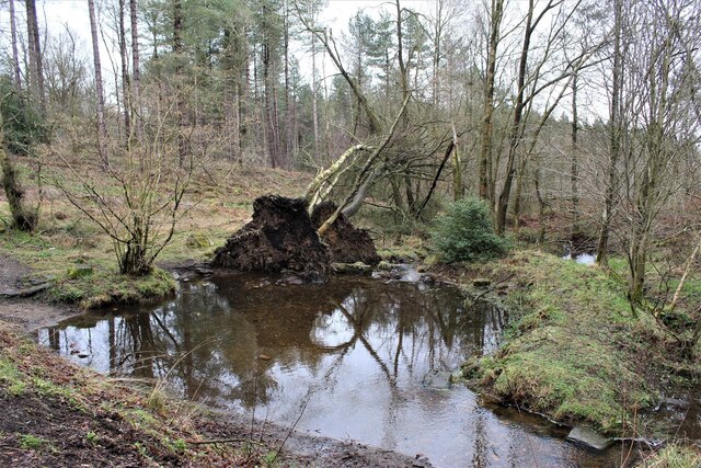
The Birley Stone is a significant heritage site located in the county of Yorkshire, England. It holds historical and cultural importance, attracting visitors from around the world. The stone is situated in the village of Birley, near the city of Sheffield, and is surrounded by picturesque countryside.
Dating back to the Neolithic period, the Birley Stone is a large standing stone, measuring approximately 3 meters in height. It is made from millstone grit, a local rock commonly found in the region. The stone's exact purpose and significance remain a mystery, as no inscriptions or carvings have been found on its surface.
The stone's location adds to its allure, as it stands on an ancient burial mound. This has led to speculation that the Birley Stone may have served a ceremonial or religious purpose in ancient times. The stone's positioning also provides breathtaking views of the surrounding landscape, making it an ideal spot for contemplation and reflection.
Over the years, the Birley Stone has become the subject of local folklore and legends. Some stories claim that the stone has supernatural powers, while others associate it with mythical creatures. These tales have contributed to the stone's popularity and have become part of the local cultural heritage.
Today, the Birley Stone is a protected heritage site, ensuring its preservation for future generations. Visitors can explore the area, enjoying the natural beauty and historical significance it offers. The stone continues to be a symbol of Yorkshire's rich history and serves as a reminder of the ancient civilizations that once thrived in the region.
If you have any feedback on the listing, please let us know in the comments section below.
The Birley Stone Images
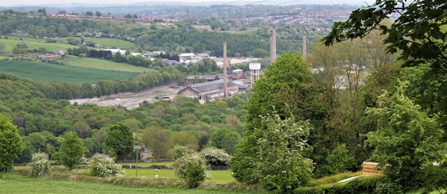
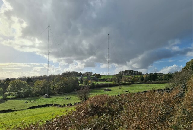
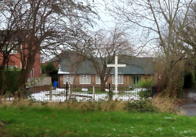
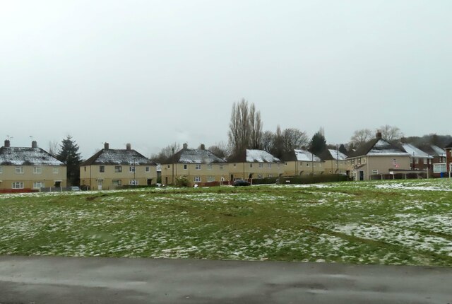
Images are sourced within 2km of 53.437/-1.51 or Grid Reference SK3293. Thanks to Geograph Open Source API. All images are credited.


The Birley Stone is located at Grid Ref: SK3293 (Lat: 53.437, Lng: -1.51)
Division: West Riding
Unitary Authority: Sheffield
Police Authority: South Yorkshire
What 3 Words
///post.leader.back. Near Oughtibridge, South Yorkshire
Nearby Locations
Related Wikis
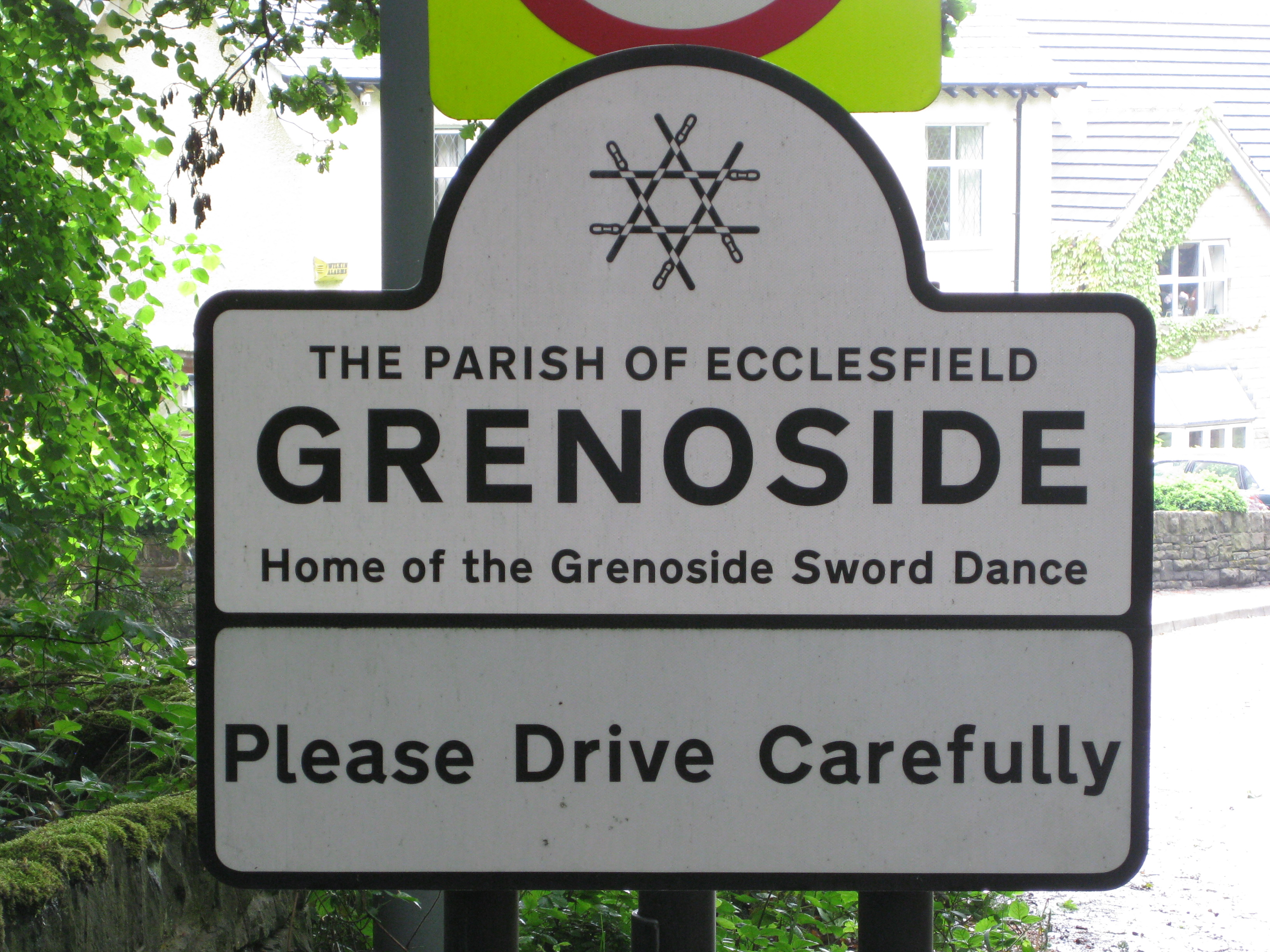
Grenoside
Grenoside is a suburb of Sheffield, South Yorkshire, England. The suburb falls within the West Ecclesfield ward of the city. == History == The name Grenoside...
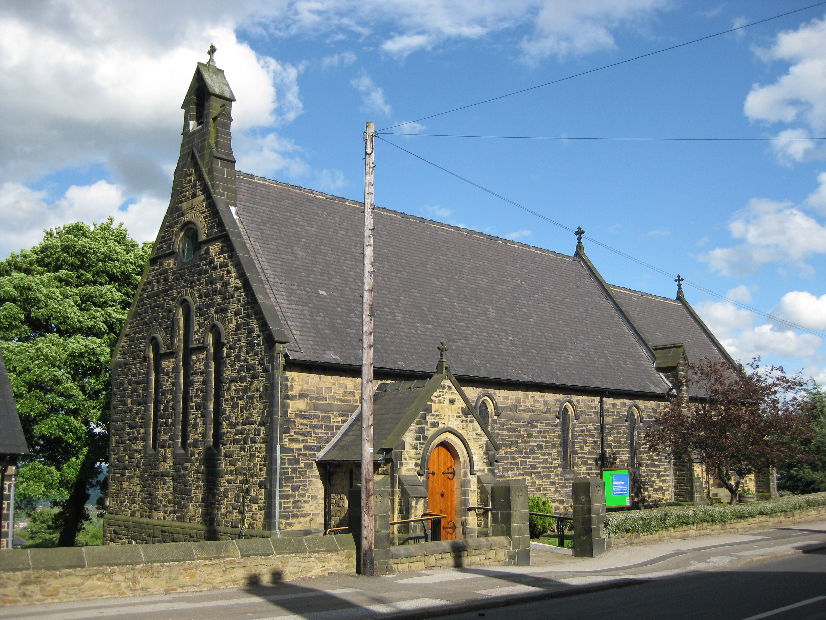
St Mark's Church, Grenoside
St. Mark's Church is an Anglican parish church in Grenoside, South Yorkshire, England. It is in the Deanery of Ecclesfield, and was built in 1884.Regular...
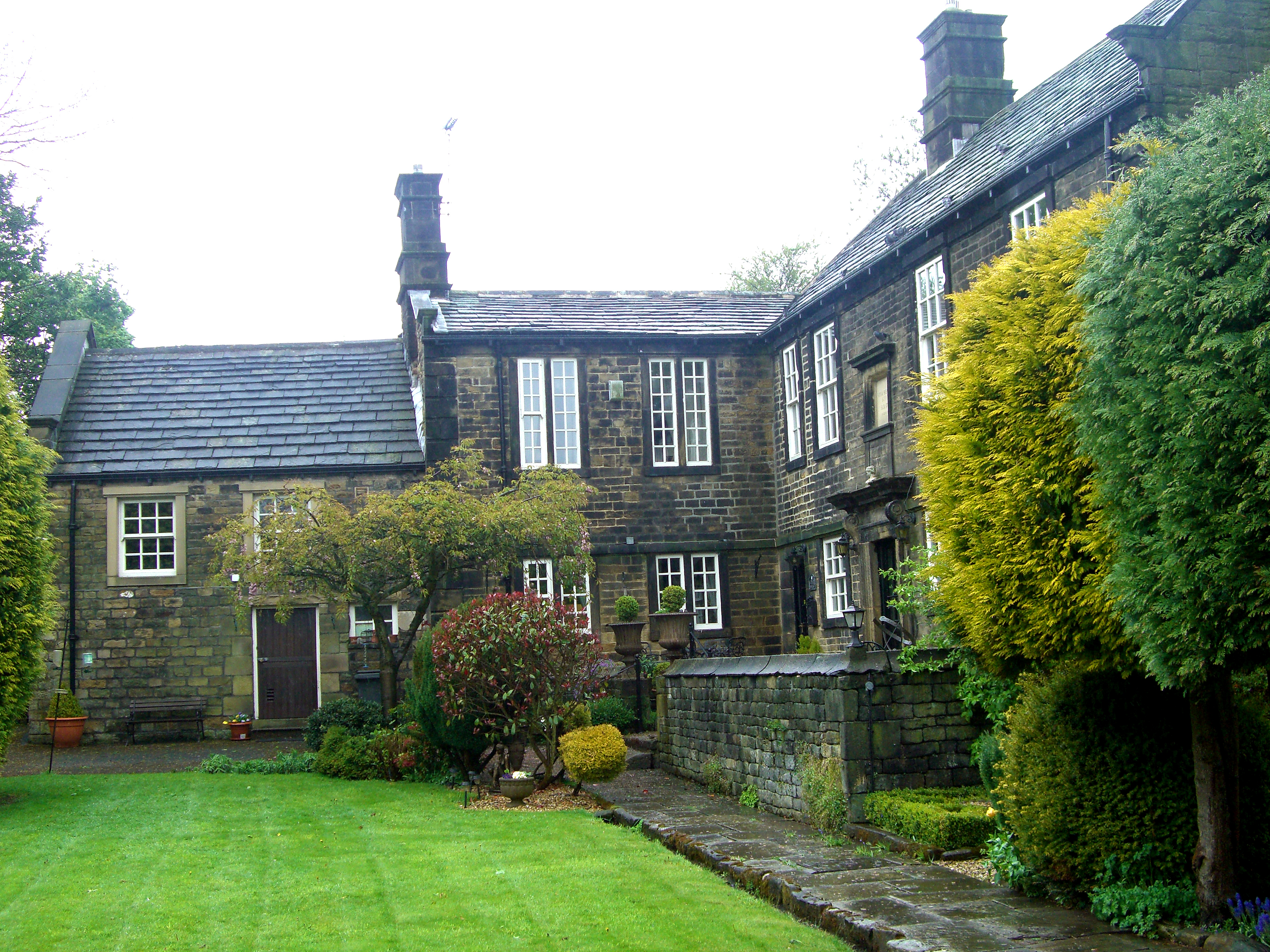
Birley Old Hall
Birley Old Hall is a small English country house situated in the Birley Edge area of the City of Sheffield, England. The hall stands in an exposed situation...
West Ecclesfield
West Ecclesfield ward—which includes the districts of Burncross, Grenoside, High Green—is one of the 28 electoral wards in City of Sheffield, England....
Nearby Amenities
Located within 500m of 53.437,-1.51Have you been to The Birley Stone?
Leave your review of The Birley Stone below (or comments, questions and feedback).