The Battery

Heritage Site in Kirkcudbrightshire

Scotland

The Battery

Lane towards Mutehill This country lane flirts with this grid square, being inside it for some 200m here and for a similar length at the NW corner of the grid square.
Lane towards Mutehill Credit: Gordon Hatton

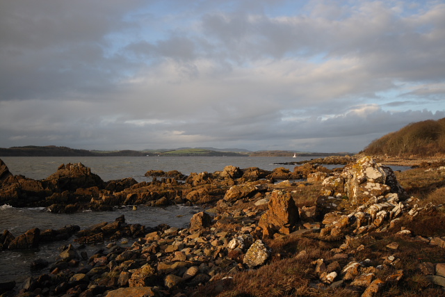
The Battery, Kirkcudbrightshire, is a historically significant heritage site located in the town of Kirkcudbright, Scotland. Situated on the banks of the River Dee, this site holds great importance due to its strategic location and its association with Scotland's maritime history.

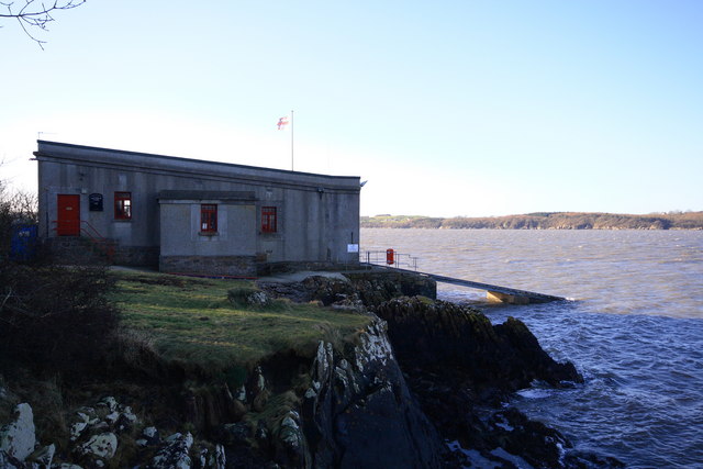
The Battery is a fortified coastal defense structure that was constructed in the late 18th century to protect the town from potential attacks by sea. The site comprises a series of defensive walls, gun platforms, and a battery house. It was designed to house cannons and provide a vantage point for the protection of the town and its harbor.

The Battery played a crucial role in safeguarding Kirkcudbright during times of conflict, particularly during the Napoleonic Wars and World War II. The strategic position of the Battery allowed for the monitoring and defense of the River Dee, making it an integral part of the town's defense system.

In addition to its military significance, The Battery is also appreciated for its stunning views of the river estuary and surrounding landscape. Visitors can explore the well-preserved remains of the defensive structures and enjoy panoramic vistas of the picturesque town and its harbor.

Today, The Battery is a popular tourist attraction and is managed by the local council. It offers visitors a unique opportunity to delve into Kirkcudbrightshire's history, providing insights into the town's defense mechanisms and the challenges it faced throughout the years. Overall, The Battery stands as a testament to Scotland's maritime heritage and serves as a reminder of the town's resilience and importance in times of conflict.

If you have any feedback on the listing, please let us know in the comments section below.
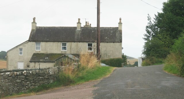
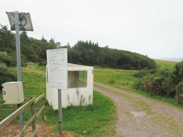
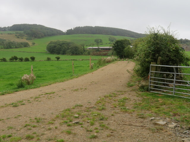
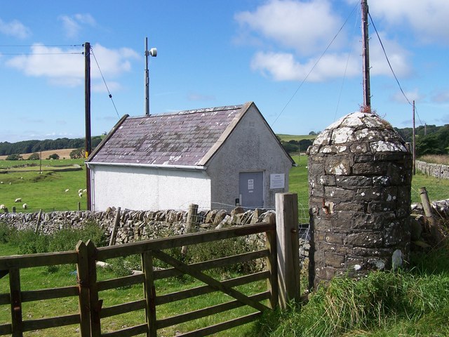
The Battery Images

Images are sourced within 2km of 54.797/-4.045 or Grid Reference NX6846. Thanks to Geograph Open Source API. All images are credited.
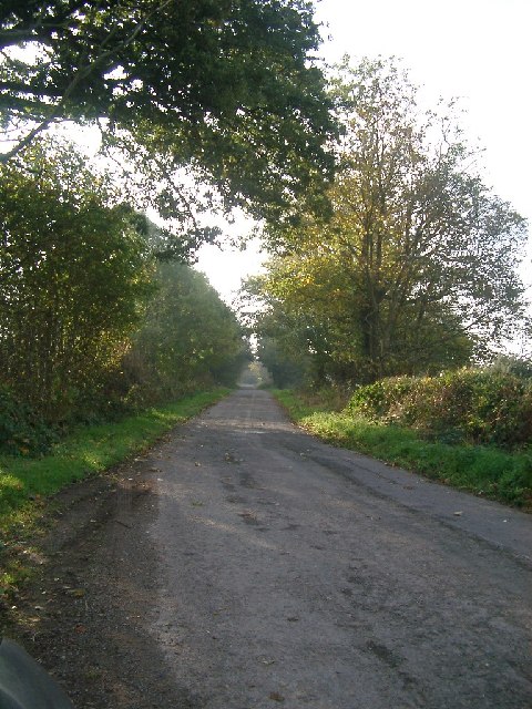
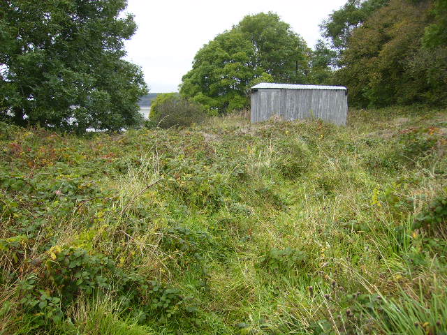
Lane towards Mutehill This country lane flirts with this grid square, being inside it for some 200m here and for a similar length at the NW corner of the grid square.
Lane towards Mutehill
This country lane flirts with this grid square, being inside it for some 200m here and for a similar length at the NW corner of the grid square.
House at Dromore farm According to the signs on the map, the buildings here are just within the danger zone of the military training area. Fortunately all was quiet and there was no danger from flying shrapnel.
House at Dromore farm
According to the signs on the map, the buildings here are just within the danger zone of the military training area. Fortunately all was quiet and there was no danger from flying shrapnel.
Military training area, access point No red flag and no sentry on duty at the little hut, so one could venture into the danger area.
Military training area, access point
No red flag and no sentry on duty at the little hut, so one could venture into the danger area.
Edge of the danger area A short stroll down the track from the road [no red flag flying] and one could photograph the track that leads towards the coast near Torrs Point.
Edge of the danger area
A short stroll down the track from the road [no red flag flying] and one could photograph the track that leads towards the coast near Torrs Point.
Farmland near Torrs Green pastures between the coast and Castle Hill.
Farmland near Torrs
Green pastures between the coast and Castle Hill.
Townhead Telephone Exchange The lane from Townhead to Ringliggate junction (A711) passes the Townhead telephone exchange. The MOD Kirkcudbright Training Range boundary runs along the southern stone dyke – with the exchange apparently breaching that boundary.
Townhead Telephone Exchange
The lane from Townhead to Ringliggate junction (A711) passes the Townhead telephone exchange. The MOD Kirkcudbright Training Range boundary runs along the southern stone dyke – with the exchange apparently breaching that boundary.
Townhead telephone exchange. Still in use using microwave technology.The entry beside it leads to the Dunrod Graveyard
Townhead telephone exchange.
Still in use using microwave technology.The entry beside it leads to the Dunrod Graveyard
Grazing land near to Townhead Good grazing land close to Townhead Farm.
Grazing land near to Townhead
Good grazing land close to Townhead Farm.
Minor road near to Townhead The old telephone exchange can be seen in this photograph.
Minor road near to Townhead
The old telephone exchange can be seen in this photograph.
Trees lining the road near Grange Farm, Muthill One of the few bits of this area of the countryside that wasn't flying a red flag that day - most of this peninsula (if you can call it that) is MOD training area and I didn't want to get shot as a spy/terrorist, so this is as exciting as the photos got!
Trees lining the road near Grange Farm, Muthill
One of the few bits of this area of the countryside that wasn't flying a red flag that day - most of this peninsula (if you can call it that) is MOD training area and I didn't want to get shot as a spy/terrorist, so this is as exciting as the photos got!
Shore line on Manxman's Lake Taken on the east shore of Kirkcudbright Bay looking South towards Mutehill.
Shore line on Manxman's Lake
Taken on the east shore of Kirkcudbright Bay looking South towards Mutehill.
Long Robin, Dee Estuary Rocky foreshore at Long Robin on the River Dee Estuary, looking NNW towards St Mary's Isle and Kirkcudbright.
Long Robin, Dee Estuary
Rocky foreshore at Long Robin on the River Dee Estuary, looking NNW towards St Mary's Isle and Kirkcudbright.
Kirkcudbright Lifeboat Station Looking SW across the Dee Estuary.
Kirkcudbright Lifeboat Station
Looking SW across the Dee Estuary.
Balmae Gardens The Head Gardener's cottage, hence its being situated in the wall of the walled gardens.
This house in its beautiful location, now owned by the MOD was built in the eighteenth century by people with vision and style. It now stands open to the elements and its huge walled garden is  overgrown with mature trees. To let a fine building like this to rot should be a crime.
Balmae Gardens
The Head Gardener's cottage, hence its being situated in the wall of the walled gardens. This house in its beautiful location, now owned by the MOD was built in the eighteenth century by people with vision and style. It now stands open to the elements and its huge walled garden is overgrown with mature trees. To let a fine building like this to rot should be a crime.
Torrs Moor, Galloway The house nearby is also named Torrs Moor
Torrs Moor, Galloway
The house nearby is also named Torrs Moor
Verdant Galloway in February No wonder the Galloway steaks are good what with cattle feeding on grass like this all day and every day.
Verdant Galloway in February
No wonder the Galloway steaks are good what with cattle feeding on grass like this all day and every day.
The Dee estuary near to Parkgate
Corrugated iron shed sited near Parkgate
Show me another place!

The Battery is located at Grid Ref: NX6846 (Lat: 54.797, Lng: -4.045)

Unitary Authority: Dumfries and Galloway

Police Authority: Dumfries and Galloway

What 3 Words

///waggled.glad.expanded. Near Kirkcudbright, Dumfries & Galloway

Related Wikis

River Dee, Galloway

The River Dee (Scottish Gaelic: Dè / Uisge Dhè), in south-west Scotland, flows from its source in Loch Dee amongst the Galloway Hills, firstly to Clatteringshaws...

Dundrennan Range

Dundrennan Range is a weapons testing range on the Solway Firth, near Kirkcudbright in Dumfries and Galloway, in south west Scotland, it is part of the...

High Banks cup and ring markings

The High Banks cup and ring markings are a series of Neolithic or Bronze Age carvings on an outcrop of rock near High Banks farm, 3 km SE of Kirkcudbright...

Kirkcudbright Bay

Kirkcudbright Bay is an inlet of the Irish Sea on the coast of Galloway in southwest Scotland. Its coastline falls entirely within the modern administrative...

Have you been to The Battery?

Leave your review of The Battery below (or comments, questions and feedback).