Teampall Pheadair
Heritage Site in Ross-shire
Scotland
Teampall Pheadair
Teampall Pheadair, located in Ross-shire, Scotland, is a prominent heritage site that holds great historical and cultural significance. Also known as St. Peter's Church, this medieval chapel stands as a testament to the rich religious heritage of the region.
Constructed in the 16th century, Teampall Pheadair is a well-preserved example of traditional Scottish ecclesiastical architecture. The chapel features a rectangular plan with a simple, yet elegant design. Its walls are made of local stone, displaying the craftsmanship of the era. The structure is adorned with small lancet windows that allow natural light to filter into the interior.
The interior of Teampall Pheadair boasts a serene and peaceful ambiance. Visitors can witness the remains of the original altar, which is adorned with intricate carvings. The chapel's stone floor and walls are a testament to the durability of the construction. Additionally, the site provides a glimpse into the lives of the local community, as several grave markers and memorials are scattered throughout the grounds.
Teampall Pheadair is not only valued for its architectural beauty but also for its historical importance. It serves as a reminder of the religious practices and traditions of the people of Ross-shire. Visitors to the site can gain insight into the spiritual and cultural aspects of the region's past.
Managed by a local heritage organization, Teampall Pheadair offers informative guided tours, allowing visitors to delve deeper into the history and significance of the site. The chapel's picturesque location, surrounded by stunning natural landscapes, adds to its allure, making it a must-visit for history enthusiasts and tourists alike.
If you have any feedback on the listing, please let us know in the comments section below.
Teampall Pheadair Images
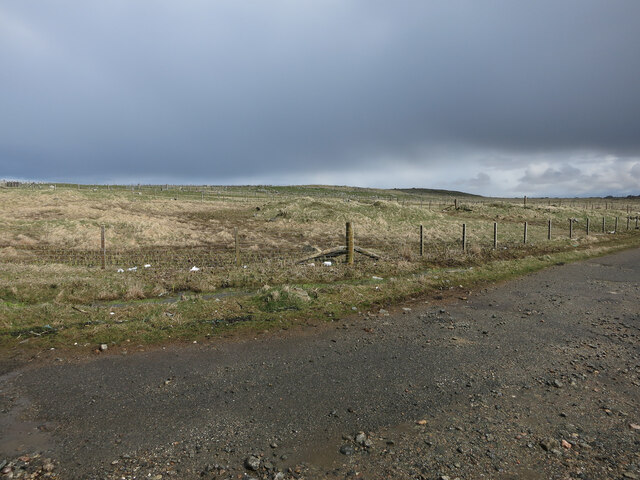
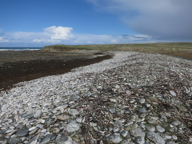
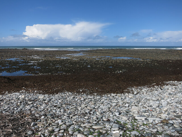
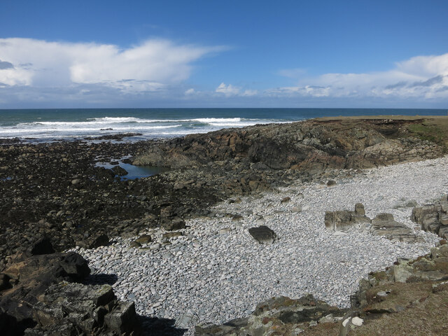
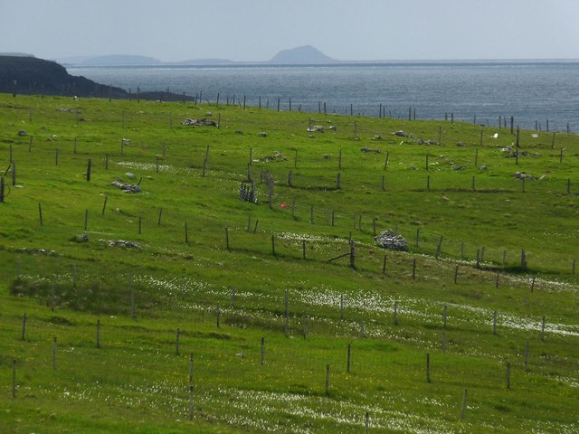
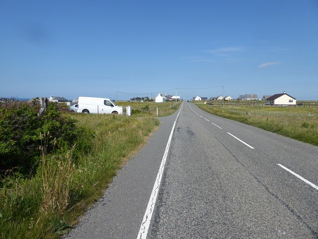
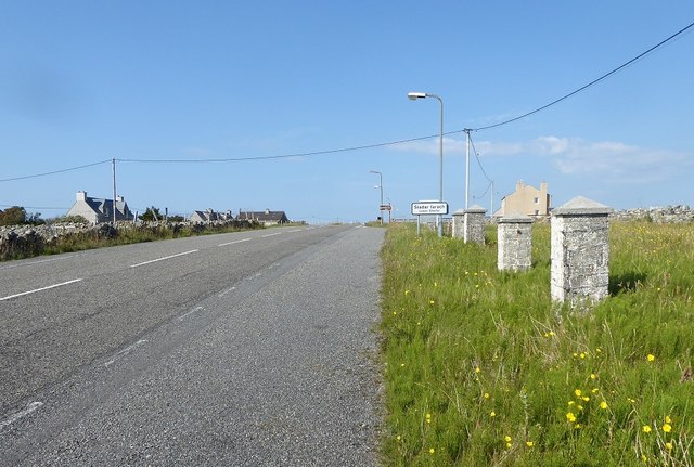
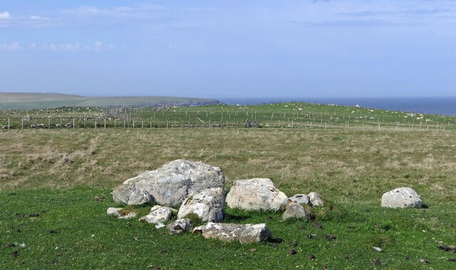
Images are sourced within 2km of 58.4/-6.493 or Grid Reference NB3754. Thanks to Geograph Open Source API. All images are credited.


Teampall Pheadair is located at Grid Ref: NB3754 (Lat: 58.4, Lng: -6.493)
Unitary Authority: Na h-Eileanan an Iar
Police Authority: Highlands and Islands
What 3 Words
///slurping.rapport.singer. Near North Tolsta, Na h-Eileanan Siar
Nearby Locations
Related Wikis
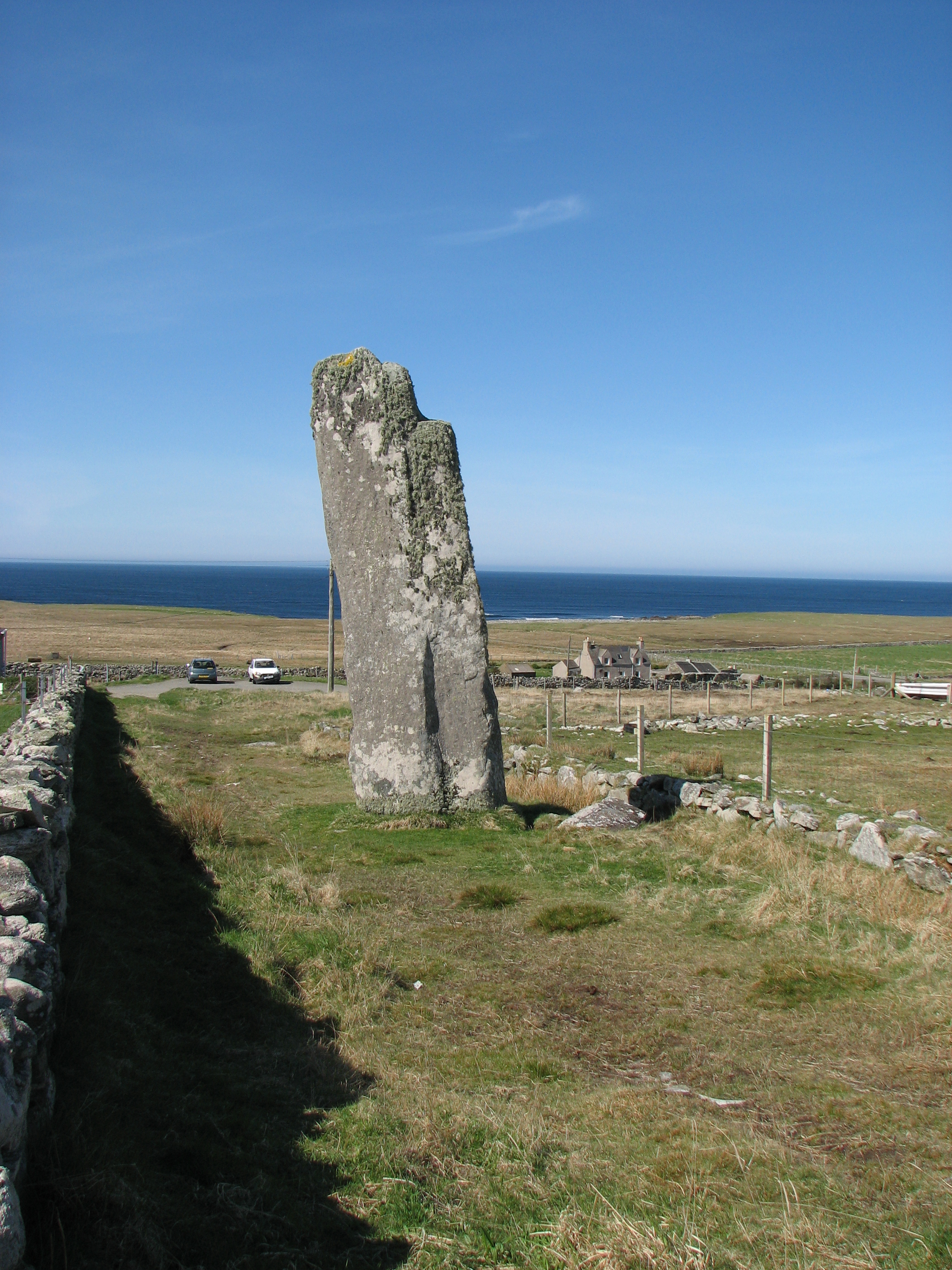
Clach an Trushal
Clach an Trushal (Scottish Gaelic: Clach an Truiseil, Scottish Gaelic pronunciation: [kʰl̪ˠax ən̪ˠ ˈt̪ʰɾuʃal], translated to English "Stone of Compassion...

Baile an Truiseil
Ballantrushal (Scottish Gaelic: Baile an Truiseil) is a village on the Isle of Lewis in the West Side district, in the Outer Hebrides, Scotland. Ballantrushal...

Steinacleit
Steinacleit is a prehistoric archeological site on the west coast of Lewis in the Outer Hebrides of Scotland. The site consists of an array of boulders...

Borve, Lewis
Borve (Scottish Gaelic: Borgh) is a village on the west side of the Isle of Lewis in Scotland, 17 miles (27 kilometres) from the island's only town, Stornoway...

Barvas
Barvas (Scottish Gaelic: Barabhas or Barbhas, pronounced [baravəs]) is a settlement, community and civil parish on the Isle of Lewis in Scotland. It developed...

West Side, Lewis
The West Side (Scottish Gaelic: An Taobh Siar) is the name used for the (predominantly Gaelic-speaking) settlements along the NW coast of the Isle of Lewis...
Mullen Bridge
Mullen Bridge is an old bridge crossing the Royal Canal in Maynooth in County Kildare, Ireland. It was built between 1790 and 1800.The bridge used to carry...

Brue
Brue (Scottish Gaelic: Brù) is a village on the Isle of Lewis in the West Side district, in the Outer Hebrides, Scotland. It is a crofting township and...
Nearby Amenities
Located within 500m of 58.4,-6.493Have you been to Teampall Pheadair?
Leave your review of Teampall Pheadair below (or comments, questions and feedback).