Teampall Mholuaidh

Heritage Site in Ross-shire

Scotland

Teampall Mholuaidh

Butt of Lewis Lighthouse The Butt of Lewis is the northernmost point of the Isle of Lewis in the Outer Hebrides. There is a lighthouse designed and built by David & Thomas Stevenson (sons of Robert and brother of Alan - all lighthouse engineers) and constructed in 1862. It is 37m (121ft) tall at an elevation of 52m (170ft) with a nominal range of 25 nautical miles. It flashes a white light every five seconds, and since 1998 is fully automated, being one of the last four Scottish lighthouses to dispense with the services of their keepers. It is looked after by the Northern Lighthouse Board (the Scottish equivalent to Trinity House) and is monitored remotely from Edinburgh.
The Butt of Lewis has appeared in the Guinness Book of Records as the windiest place in the United Kingdom, sticking out as it does into the North Atlantic.
Butt of Lewis Lighthouse Credit: Ralph Greig

Teampall Mholuaidh, also known as St. Moluag's Chapel, is a historic heritage site located in Ross-shire, Scotland. It is an ancient chapel that dates back to the 13th century and is steeped in rich religious and cultural history.

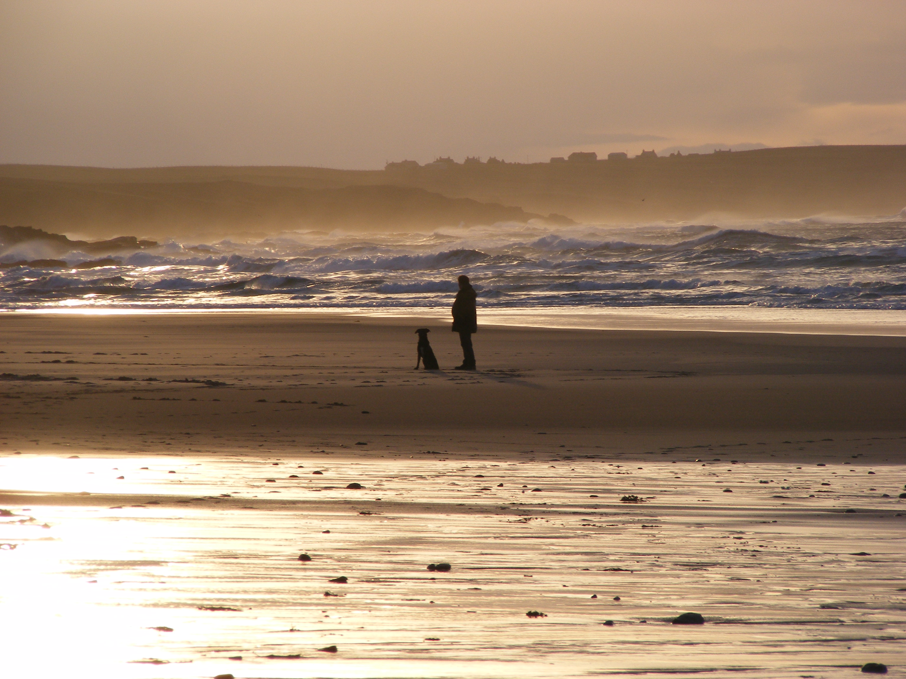
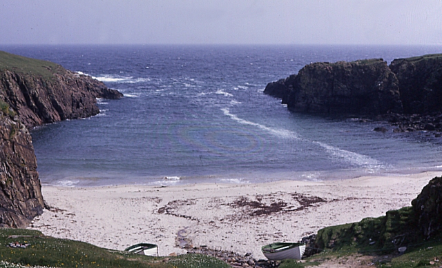
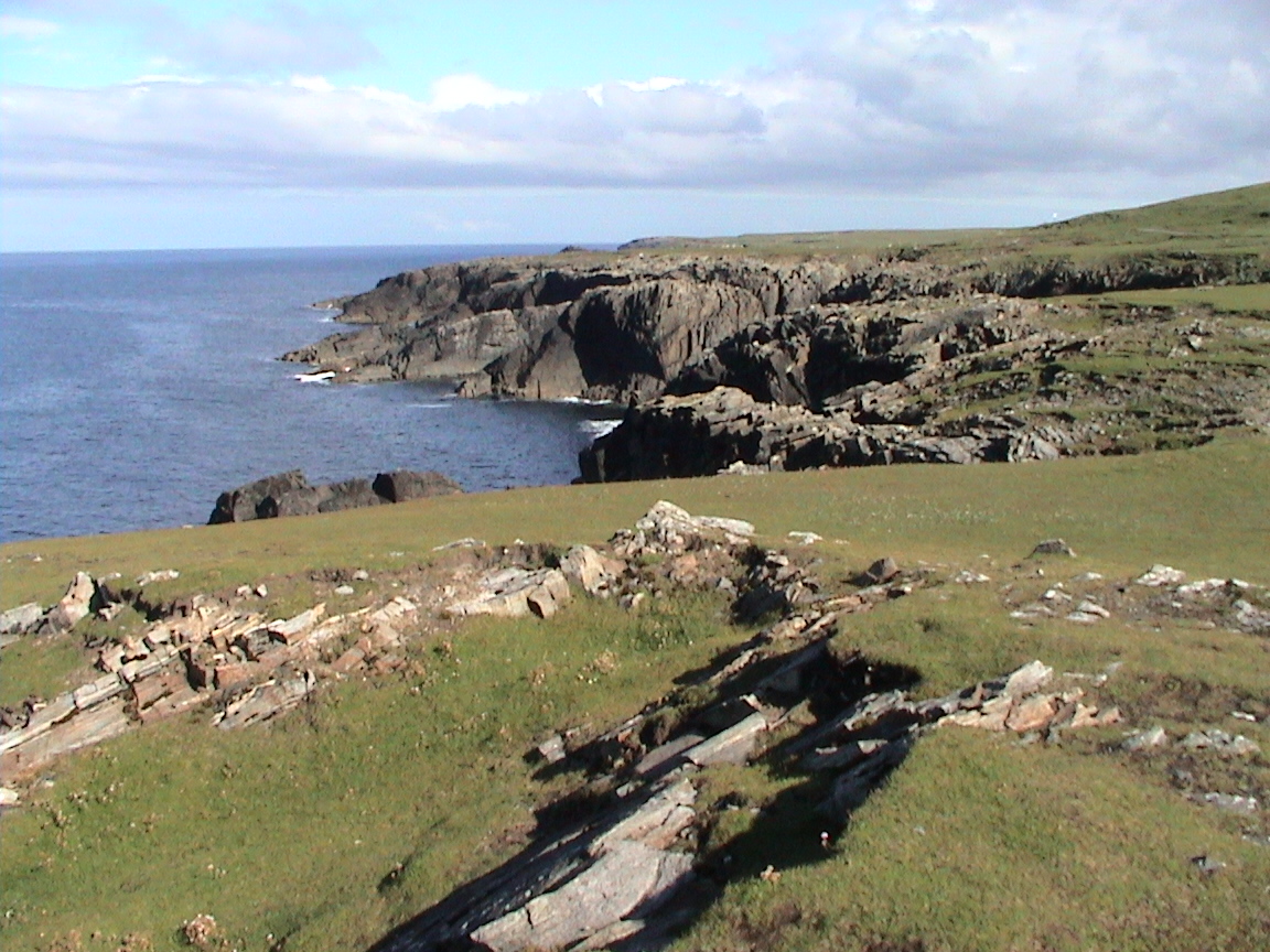
The chapel is situated on the Isle of Lewis in the Outer Hebrides and is surrounded by picturesque scenery, including stunning views of the Atlantic Ocean. It is believed to have been built on the site of an earlier religious establishment, possibly from the 7th century, making it a site of great archaeological and historical significance.

Teampall Mholuaidh is constructed using local Lewisian gneiss, a type of rock found abundantly in the area. The chapel features a simple rectangular plan, with a narrow entrance and a small window on the west end. The interior of the chapel is modest and consists of a single chamber, with remnants of the original altar still visible.

Visitors to Teampall Mholuaidh can explore the ruins of the chapel and marvel at its architectural features, which showcase the craftsmanship of the medieval period. The site provides a unique insight into the religious practices and traditions of the past.

As a heritage site, Teampall Mholuaidh is protected and preserved by Historic Environment Scotland. It serves as a reminder of the cultural and historical significance of the Isle of Lewis and attracts visitors from around the world who are interested in exploring Scotland's ancient past.

If you have any feedback on the listing, please let us know in the comments section below.

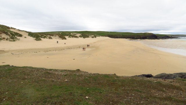
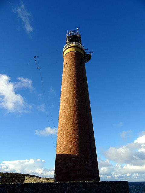
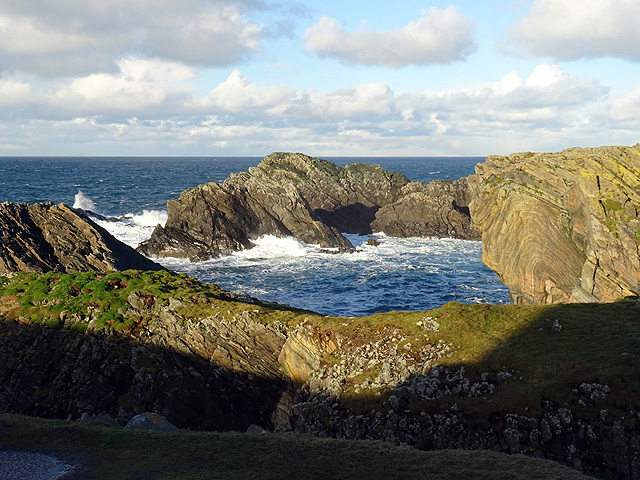
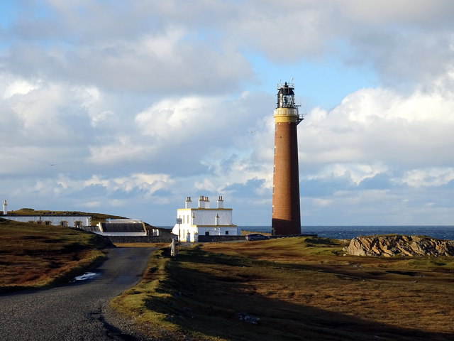
Teampall Mholuaidh Images

Images are sourced within 2km of 58.507/-6.267 or Grid Reference NB5165. Thanks to Geograph Open Source API. All images are credited.

Butt of Lewis Lighthouse The Butt of Lewis is the northernmost point of the Isle of Lewis in the Outer Hebrides. There is a lighthouse designed and built by David & Thomas Stevenson (sons of Robert and brother of Alan - all lighthouse engineers) and constructed in 1862. It is 37m (121ft) tall at an elevation of 52m (170ft) with a nominal range of 25 nautical miles. It flashes a white light every five seconds, and since 1998 is fully automated, being one of the last four Scottish lighthouses to dispense with the services of their keepers. It is looked after by the Northern Lighthouse Board (the Scottish equivalent to Trinity House) and is monitored remotely from Edinburgh.
The Butt of Lewis has appeared in the Guinness Book of Records as the windiest place in the United Kingdom, sticking out as it does into the North Atlantic.
Butt of Lewis Lighthouse
The Butt of Lewis is the northernmost point of the Isle of Lewis in the Outer Hebrides. There is a lighthouse designed and built by David & Thomas Stevenson (sons of Robert and brother of Alan - all lighthouse engineers) and constructed in 1862. It is 37m (121ft) tall at an elevation of 52m (170ft) with a nominal range of 25 nautical miles. It flashes a white light every five seconds, and since 1998 is fully automated, being one of the last four Scottish lighthouses to dispense with the services of their keepers. It is looked after by the Northern Lighthouse Board (the Scottish equivalent to Trinity House) and is monitored remotely from Edinburgh. The Butt of Lewis has appeared in the Guinness Book of Records as the windiest place in the United Kingdom, sticking out as it does into the North Atlantic.
Road to the lighthouse The Butt of Lewis is the northernmost point of the Isle of Lewis in the Outer Hebrides. There is a lighthouse designed and built by David & Thomas Stevenson (sons of Robert and brother of Alan - all lighthouse engineers) and constructed in 1862. It is 37m (121ft) tall at an elevation of 52m (170ft) with a nominal range of 25 nautical miles. It flashes a white light every five seconds, and since 1998 is fully automated, being one of the last four Scottish lighthouses to dispense with the services of their keepers. It is looked after by the Northern Lighthouse Board (the Scottish equivalent to Trinity House) and is monitored remotely from Edinburgh.
The Butt of Lewis has appeared in the Guinness Book of Records as the windiest place in the United Kingdom, sticking out as it does into the North Atlantic.
Road to the lighthouse
The Butt of Lewis is the northernmost point of the Isle of Lewis in the Outer Hebrides. There is a lighthouse designed and built by David & Thomas Stevenson (sons of Robert and brother of Alan - all lighthouse engineers) and constructed in 1862. It is 37m (121ft) tall at an elevation of 52m (170ft) with a nominal range of 25 nautical miles. It flashes a white light every five seconds, and since 1998 is fully automated, being one of the last four Scottish lighthouses to dispense with the services of their keepers. It is looked after by the Northern Lighthouse Board (the Scottish equivalent to Trinity House) and is monitored remotely from Edinburgh. The Butt of Lewis has appeared in the Guinness Book of Records as the windiest place in the United Kingdom, sticking out as it does into the North Atlantic.
Port Stoth Geocaching is a type of global treasure hunt of people looking for caches, or hidden stashes of objects. Geocaching may also be described as a series of hide-and-seek games, where hiders provide online clues for seekers. Seekers use global positioning system (GPS) devices to find hidden caches
Port Stoth
Geocaching is a type of global treasure hunt of people looking for caches, or hidden stashes of objects. Geocaching may also be described as a series of hide-and-seek games, where hiders provide online clues for seekers. Seekers use global positioning system (GPS) devices to find hidden caches
St Molveg's Church, Eoropie
Trig point at Butt of Lewis
Butt of Lewis Lighthouse
Sea thrift on islet at Geodha nan Each, Butt of Lewis
Beach at Cunndal, Eoropie
Cunndal Drownings Memorial, Eoropie This is a memorial to the men lost here on 5th March 1885, when the local fishing fleet was caught in a terrible gale. Two boats attempted to seek shelter at Cunndal, just north of this point. Both boats and twelve men – all from Eoropie - were lost.
Cunndal Drownings Memorial, Eoropie
This is a memorial to the men lost here on 5th March 1885, when the local fishing fleet was caught in a terrible gale. Two boats attempted to seek shelter at Cunndal, just north of this point. Both boats and twelve men – all from Eoropie - were lost.
Traigh Shanndaigh, Eoropie
Butt of Lewis Lighthouse I did consider correcting the converging verticals in this shot but then I got an attack of acrophobia so could no longer look at it!
Butt of Lewis Lighthouse
I did consider correcting the converging verticals in this shot but then I got an attack of acrophobia so could no longer look at it!
Cleite Gile Rocks at the Butt of Lewis.
Cleite Gile
Rocks at the Butt of Lewis.
Butt of Lewis lighthouse
Port Stoth Port Stoth is the most northerly beach on the Western Isles. All the materials for the construction of the Butt of Lewis lighthouse were landed here between 1851 and 1862. As it was a sheltered spot the beach continued to be used to bring supplies to the lighthouse until the 1960s. 
On 22nd January 1901 a wooden lugsail (Lugger) in ballast was stranded at Port Stoth. Surprisingly, no name is recorded of the unregistered vessel but its date of building was known to be 1893 and the master was a Captain Gunn.
Port Stoth
Port Stoth is the most northerly beach on the Western Isles. All the materials for the construction of the Butt of Lewis lighthouse were landed here between 1851 and 1862. As it was a sheltered spot the beach continued to be used to bring supplies to the lighthouse until the 1960s. On 22nd January 1901 a wooden lugsail (Lugger) in ballast was stranded at Port Stoth. Surprisingly, no name is recorded of the unregistered vessel but its date of building was known to be 1893 and the master was a Captain Gunn.
Cleite Gile, Rubha Robhanais Cliffs at Butt of Lewis
Cleite Gile, Rubha Robhanais
Cliffs at Butt of Lewis
Butt of Lewis lighthouse with Transocean Winner offshore The ineptly-named oilrig slowly rounds the Butt at a safe distance, having been refloated from Dalmore beach the previous evening.  See <a href="https://www.geograph.org.uk/photo/5088125">NB5268 : Transocean Winner rounds the Butt</a>.
Butt of Lewis lighthouse with Transocean Winner offshore
The ineptly-named oilrig slowly rounds the Butt at a safe distance, having been refloated from Dalmore beach the previous evening. See NB5268 : Transocean Winner rounds the Butt.
The Northwest extremity of Scotland, Butt of Lewis
Show me another place!

Teampall Mholuaidh is located at Grid Ref: NB5165 (Lat: 58.507, Lng: -6.267)

Unitary Authority: Na h-Eileanan an Iar

Police Authority: Highlands and Islands

What 3 Words

///technical.laser.fired. Near North Tolsta, Na h-Eileanan Siar

Related Wikis

Eoropie

Eoropie (Scottish Gaelic: Eòrapaidh) is the most northerly village on the Isle of Lewis in the parish of Ness, in the Outer Hebrides, Scotland. Eoropie...

Teampall Mholuaidh

St Moluag's church (Scottish Gaelic: Teampall Mholuaidh) is a church in the village of Eoropie in Ness in the Isle of Lewis in Scotland. It is one of the...
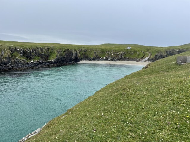
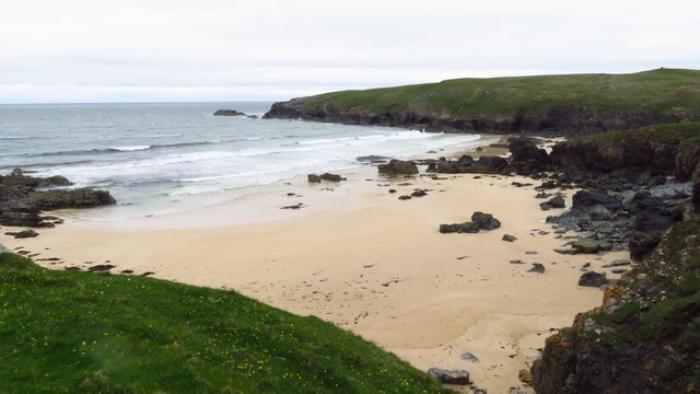
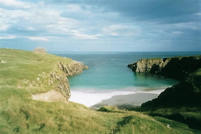
Port Stoth

Port Stoth, known locally as Stoth and pronounced Stow, is a sheltered inlet just southeast of the Butt of Lewis in the Outer Hebrides, Scotland. It is...
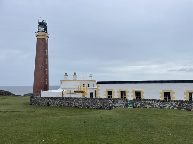
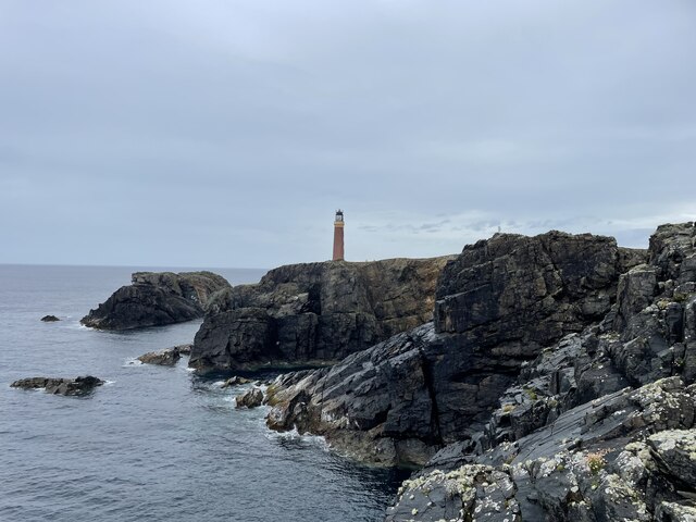
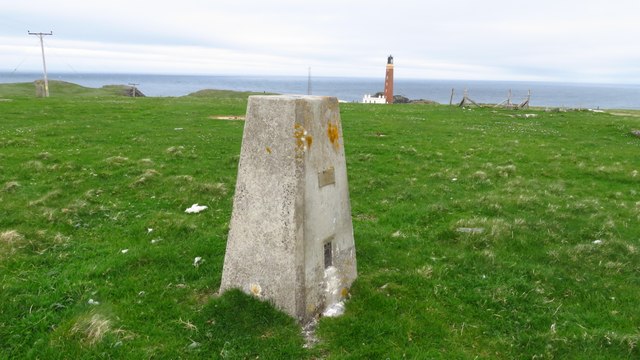
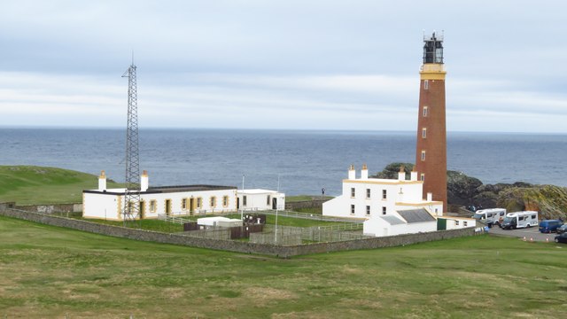
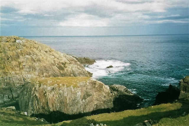
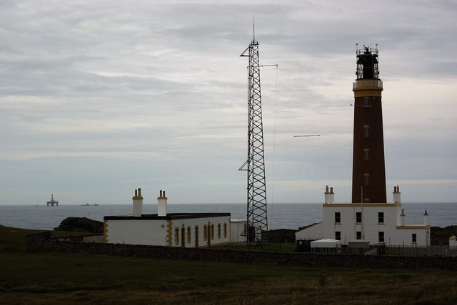
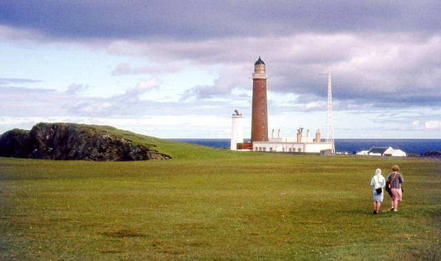
Butt of Lewis

The Butt of Lewis (Scottish Gaelic: Rubha Robhanais) is the most northerly point of Lewis in the Outer Hebrides. The headland, which lies in the North...

Nearby Amenities

Located within 500m of 58.507,-6.267
Bus Stop
Eoropie
Naptan AtcoCode: 6010731646
Naptan Bearing: E
Naptan CommonName: Eoropie
Naptan Indicator: Butt of Lewis Junction
Naptan Landmark: Butt of Lewis Junction
Naptan NaptanCode: 94724285
Naptan Street: Butt of Lewis Junction
Naptan Verified: no
Source: naptan_import
Lat/Long: 58.5027232/-6.2647456
Passing Place
Lat/Long: 58.5073708/-6.2598456
Barrier: stile
Foot: yes
Material: wood
Lat/Long: 58.5084296/-6.2732645
Power: pole
Lat/Long: 58.5032894/-6.268933
Power: pole
Lat/Long: 58.5033621/-6.2684031
Power: pole
Lat/Long: 58.5034885/-6.2679221
Power: pole
Lat/Long: 58.5033981/-6.2672708
Power: pole
Lat/Long: 58.503303/-6.2666534
Power: pole
Lat/Long: 58.5025967/-6.2668534
Power: pole
Lat/Long: 58.503122/-6.2649729
Power: pole
Lat/Long: 58.5030398/-6.2644001
Power: pole
Lat/Long: 58.504274/-6.2669714
Power: pole
Lat/Long: 58.504107/-6.2659389
Power: pole
Lat/Long: 58.5039735/-6.26514
Power: pole
Lat/Long: 58.5038451/-6.2643362
Power: pole
Lat/Long: 58.5036665/-6.2632669
Material: wood
Power: pole
Lat/Long: 58.5035484/-6.2625294
Power: pole
Lat/Long: 58.5043575/-6.2638618
Power: pole
Lat/Long: 58.5050278/-6.2632767
Power: pole
Lat/Long: 58.5055955/-6.2627458
Power: pole
Lat/Long: 58.5061733/-6.2622222
Power: pole
Lat/Long: 58.5067512/-6.2616961
Power: pole
Lat/Long: 58.5074151/-6.2610914
Power: pole
Lat/Long: 58.5080148/-6.2605482
Power: pole
Lat/Long: 58.5085271/-6.2600909
Power: pole
Lat/Long: 58.509164/-6.2601155
Barrier: cattle_grid
Lat/Long: 58.5035218/-6.2676922
Ford: yes
Lat/Long: 58.5082125/-6.2727641
Ford: yes
Lat/Long: 58.5082463/-6.2728085
The data included in this document is from www.openstreetmap.org. The data is made available under ODbL.

Have you been to Teampall Mholuaidh?

Leave your review of Teampall Mholuaidh below (or comments, questions and feedback).