Tadworth Court
Heritage Site in Surrey Reigate and Banstead
England
Tadworth Court

Tadworth Court, located in Surrey, England, is a historic heritage site that holds significant cultural and architectural importance. The building, which dates back to the 19th century, was originally constructed as a stately home for the wealthy merchant William Coles, who commissioned architect Sir George Gilbert Scott to design it.
The architecture of Tadworth Court is a stunning example of Gothic Revival style, featuring intricate detailing and ornate decorations. The building is characterized by its pointed arches, decorative tracery, and prominent towers. The exterior of the mansion is made of red brick, giving it a distinct and grand appearance.
Over the years, Tadworth Court has served various purposes. During World War I, it was converted into a military hospital, treating wounded soldiers. Later, it became a convalescent home for the disabled war veterans. In 1955, the mansion was taken over by the National Health Service and transformed into a rehabilitation hospital, specializing in spinal injuries.
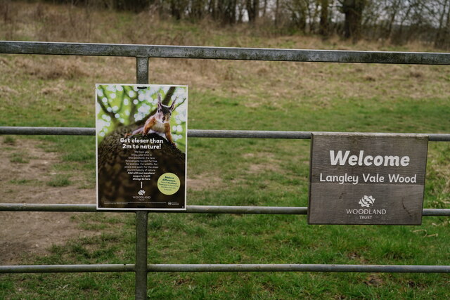
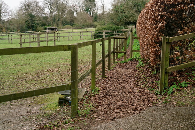
The heritage site is surrounded by beautifully landscaped gardens, which further enhance its charm. The grounds are meticulously maintained, featuring manicured lawns, flowerbeds, and a variety of trees and shrubs. These gardens offer a tranquil and picturesque setting for visitors to explore and enjoy.
Today, Tadworth Court continues its legacy as a rehabilitation center, providing specialized care and support to individuals with spinal cord injuries. The building and its grounds are open to the public on select occasions, allowing visitors to appreciate the historical significance and architectural beauty of this remarkable heritage site.
If you have any feedback on the listing, please let us know in the comments section below.
Tadworth Court Images
Images are sourced within 2km of 51.293/-0.228 or Grid Reference TQ2356. Thanks to Geograph Open Source API. All images are credited.


Tadworth Court is located at Grid Ref: TQ2356 (Lat: 51.293, Lng: -0.228)
Administrative County: Surrey
District: Reigate and Banstead
Police Authority: Surrey
What 3 Words
///brush.eagle.civic. Near Tadworth, Surrey
Nearby Locations
Related Wikis
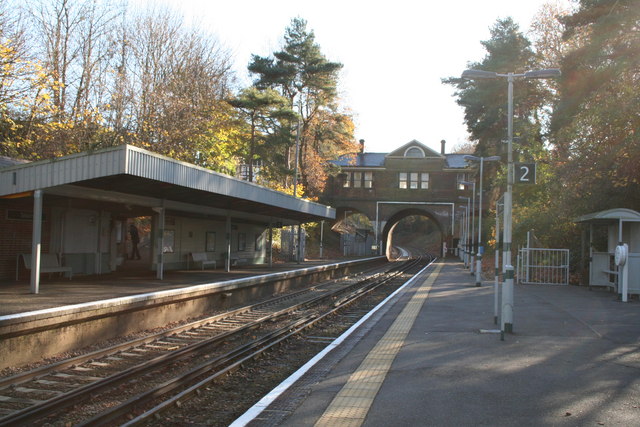
Tadworth railway station
Tadworth railway station is a passenger railway station serving the large suburban village of Tadworth in Surrey, England, on the North Downs. It is 22...

Chinthurst School
Chinthurst School is an independent co-educational nursery, pre-preparatory and preparatory school in semi-rural surroundings in the village of Tadworth...

New Mill, Tadworth
New Mill is a grade II listed post mill at Tadworth, Surrey, England which is on the Buildings at Risk Register. == History == It is not known when New...

Tadworth
Tadworth is a large suburban village in Surrey, England in the south-east of the Epsom Downs, part of the North Downs. It forms part of the Borough of...
Related Videos

Tilly’s At Home Holiday by Gillian Hibbs
Published by ©️Child's Play Read aloud by Mrs Hams We do not own the copyright of this book.
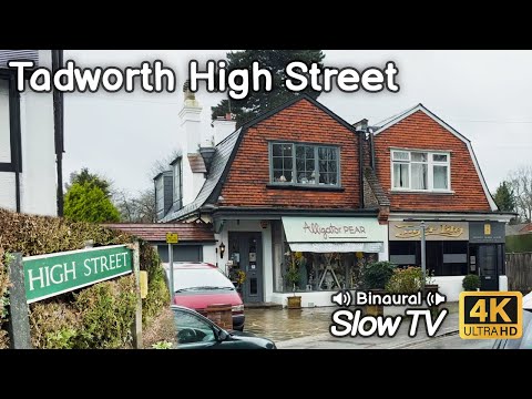
Walking From Tadworth to Tattenham Corner - Slow TV in 4K HDR
Today we're going on a residential walk from Tadworth, past the Rail Station and then along some interesting roads before ending ...

THE HERMITAGE
An ancient tourist destination of Scotland and its well known for a long long years.

Nearby Amenities
Located within 500m of 51.293,-0.228Have you been to Tadworth Court?
Leave your review of Tadworth Court below (or comments, questions and feedback).