Swan Barn Farm
Heritage Site in Surrey Waverley
England
Swan Barn Farm
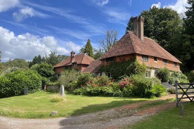
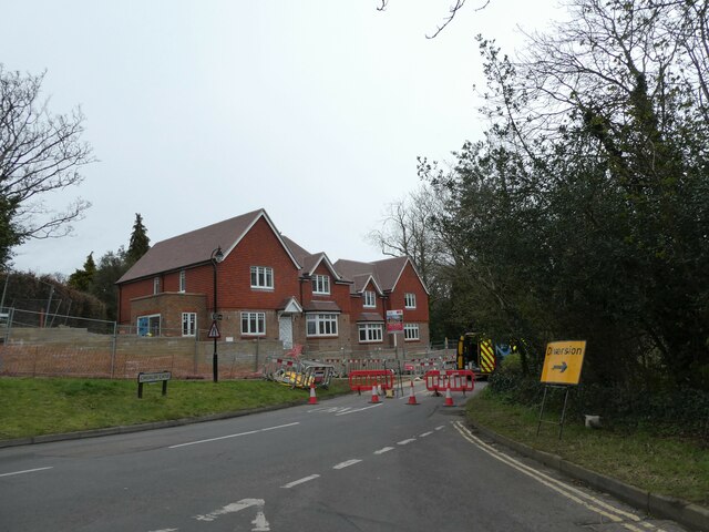
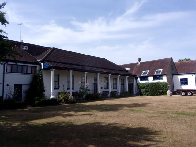
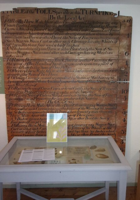
Swan Barn Farm is a historic farmhouse located in Surrey, England. Situated in the heart of the Surrey Hills Area of Outstanding Natural Beauty, this picturesque heritage site offers visitors a glimpse into rural life from the Victorian era.
Originally built in the early 19th century, Swan Barn Farm was primarily used as a working farm until the mid-20th century. Today, the farmhouse and its surrounding buildings have been carefully preserved and restored, offering a unique experience for those interested in the region's agricultural heritage.
The main farmhouse features traditional architectural elements, such as a thatched roof, exposed timber framing, and red brick walls. Inside, visitors can explore various rooms that have been furnished to reflect the period, providing an authentic insight into the daily life and living conditions of the farm's inhabitants.
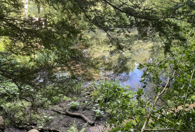
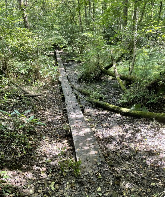
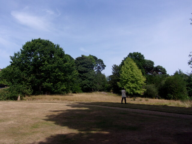
The farm also boasts beautiful gardens and meadows, which visitors can leisurely stroll through while enjoying the stunning views of the surrounding countryside. These outdoor spaces offer a tranquil setting for picnics or simply a moment of respite from the hustle and bustle of modern life.
Additionally, Swan Barn Farm offers educational programs and workshops, allowing visitors to engage with the site's history in a more interactive way. These activities cover a range of topics, including traditional farming techniques, conservation, and local wildlife.
Overall, Swan Barn Farm is a captivating heritage site that not only showcases the architectural beauty of a bygone era but also provides a valuable educational experience for visitors of all ages.
If you have any feedback on the listing, please let us know in the comments section below.
Swan Barn Farm Images
Images are sourced within 2km of 51.087/-0.699 or Grid Reference SU9132. Thanks to Geograph Open Source API. All images are credited.


Swan Barn Farm is located at Grid Ref: SU9132 (Lat: 51.087, Lng: -0.699)
Administrative County: Surrey
District: Waverley
Police Authority: Surrey
What 3 Words
///smokers.chair.shuttled. Near Haslemere, Surrey
Nearby Locations
Related Wikis

Haste Hill
Haste Hill is a hill near Haslemere, Surrey in England which was probably the original settlement of the town of Haslemere. It was used as the site of...

Haslemere Town Hall
Haslemere Town Hall is a municipal building in the High Street, Haslemere, Surrey, England. The structure, which serves as the meeting place of Haslemere...
The Curry Club
The Curry Club was founded by Pat Chapman in 1982, to further the understanding and appreciation of the cuisines of the Indian subcontinent. In 2007 it...

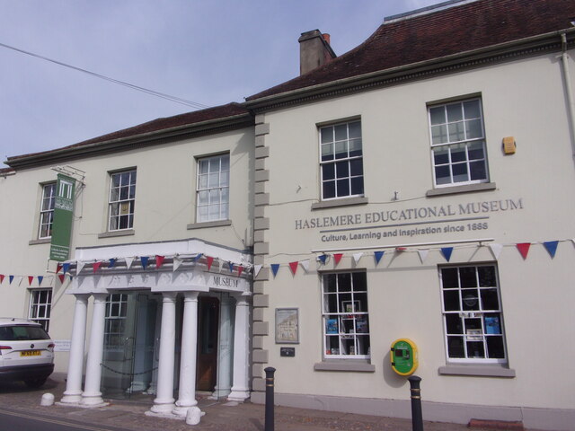
Haslemere Educational Museum
Haslemere Educational Museum was founded in 1888 by the eminent surgeon Sir Jonathan Hutchinson to display his growing collection of natural history specimens...
Haslemere
The town of Haslemere () and the villages of Shottermill and Grayswood are in south west Surrey, England, around 38 mi (62 km) south west of London. Together...

Serpent Trail
The Serpent Trail is a 64-mile (103 km) long distance footpath. It runs from Haslemere to Petersfield, which are 11 miles apart in a straight line, by...

Church Hill House, Haslemere
Church Hill House is a grade II* listed house in Tanners Lane, Haslemere, Surrey. Parts of the walls are grade II listed as well as the adjoining Church...
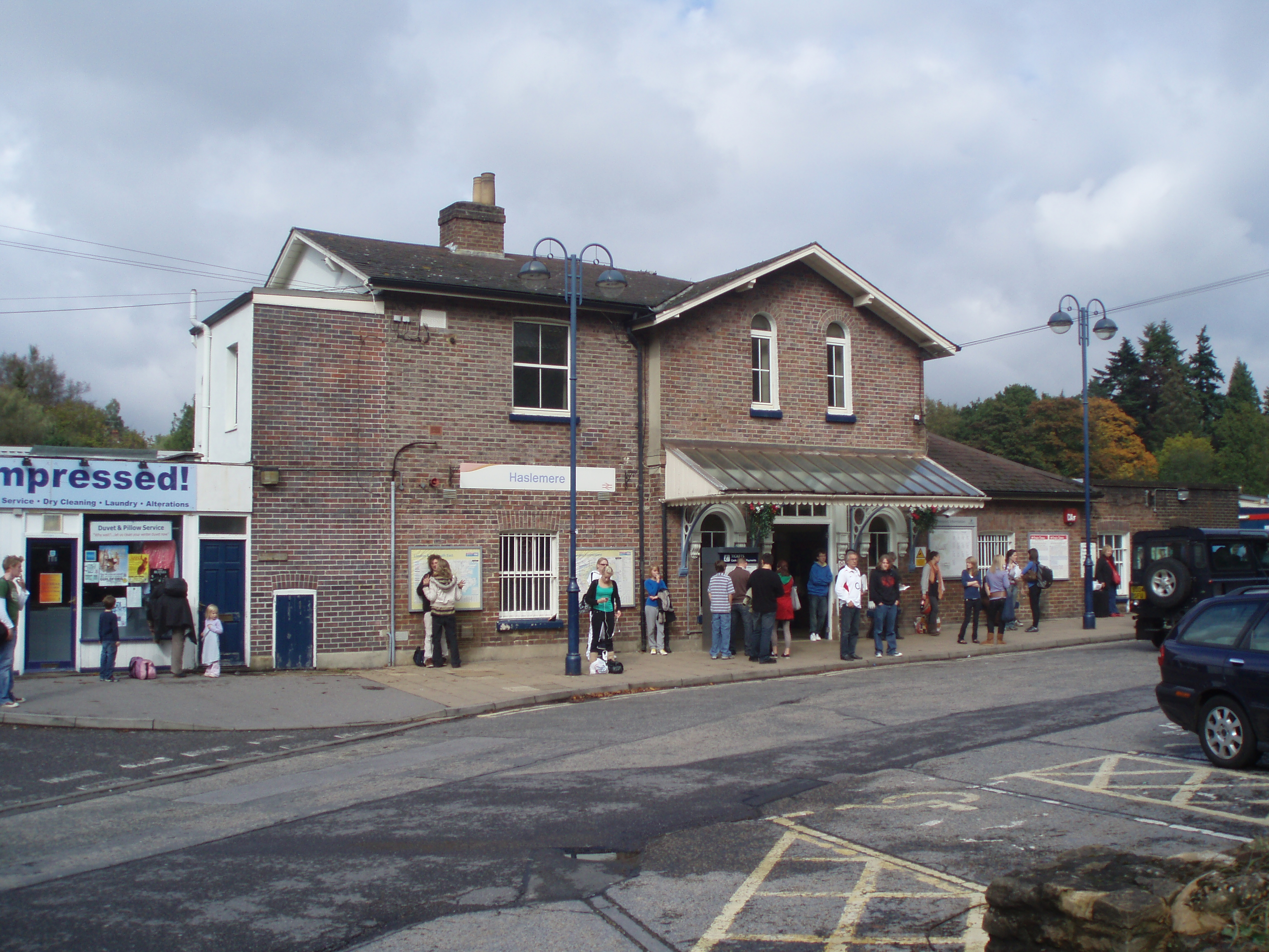
Haslemere railway station
Haslemere railway station is on the Portsmouth Direct Line, serving the town of Haslemere, Surrey, England. It is 42 miles 79 chains (69.2 km) down the...
Nearby Amenities
Located within 500m of 51.087,-0.699Have you been to Swan Barn Farm?
Leave your review of Swan Barn Farm below (or comments, questions and feedback).