Sunderlandwick Village
Heritage Site in Yorkshire
England
Sunderlandwick Village
Sunderlandwick Village, located in the picturesque county of Yorkshire, England, is a charming heritage site that has captivated visitors for centuries. Tucked away in the rolling hills and surrounded by verdant meadows, this quaint village exudes a timeless beauty and a rich historical significance.
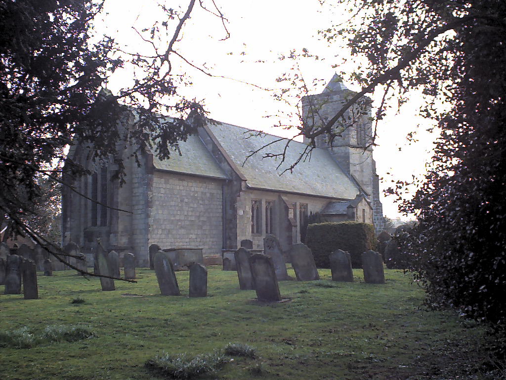
Dating back to the medieval period, Sunderlandwick Village showcases a unique blend of architectural styles, reflecting its rich heritage. The village is known for its well-preserved cobblestone streets, timber-framed buildings, and thatched roofs, which give it an authentic and rustic feel. The local church, St. Mary's, stands as a prominent landmark, with its striking bell tower and exquisite stained glass windows.
Sunderlandwick Village is renowned for its strong sense of community and traditional way of life. The village green, at the heart of the community, serves as a gathering place for locals and visitors alike, hosting festivals, fairs, and cricket matches throughout the year. The village pub, The Rose and Crown, is a popular spot where one can sample traditional Yorkshire dishes and immerse themselves in the warm hospitality of the locals.
Surrounding the village, the natural beauty of the Yorkshire countryside is on full display. Walkers and nature enthusiasts are drawn to the nearby woodland trails and the picturesque River Hull, which winds its way through the rolling landscape. The area is also home to a variety of wildlife, including deer, owls, and numerous bird species, making it a haven for nature lovers.
In recognition of its historical and cultural significance, Sunderlandwick Village has been designated as a heritage site, ensuring its preservation for future generations. Visitors to this idyllic Yorkshire gem can step back in time, explore its charming streets, and immerse themselves in its rich history and natural beauty.
If you have any feedback on the listing, please let us know in the comments section below.
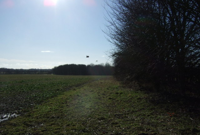
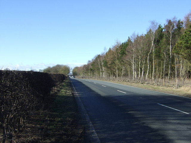
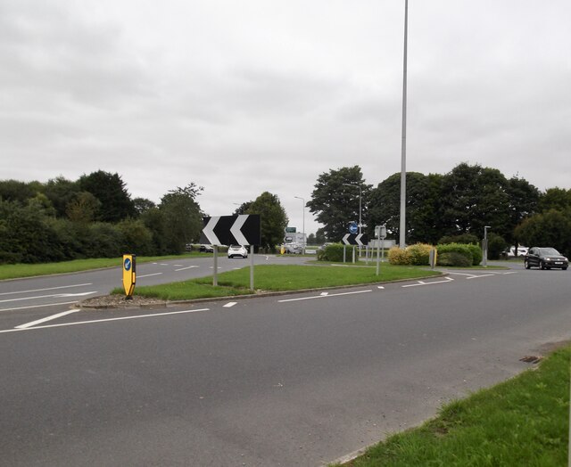
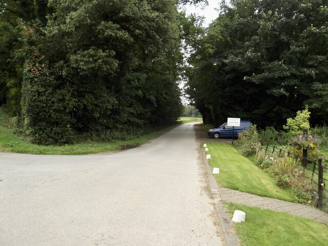
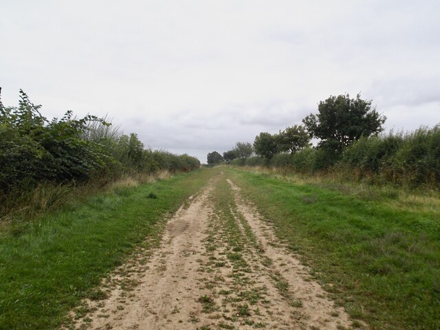
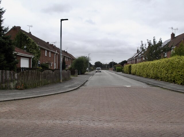
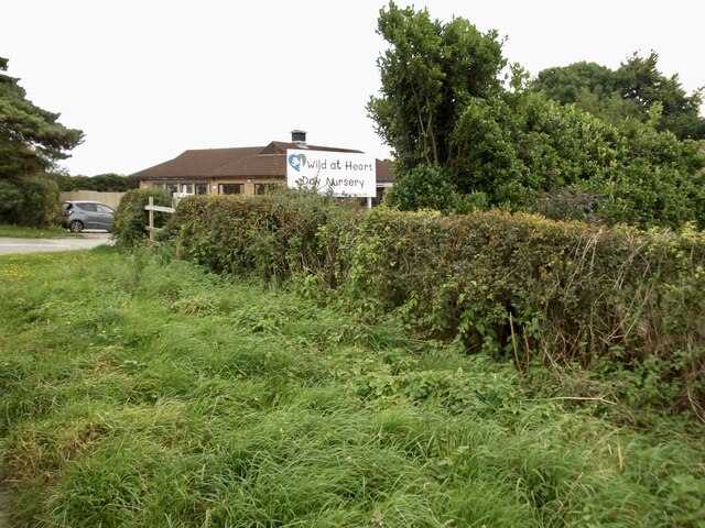
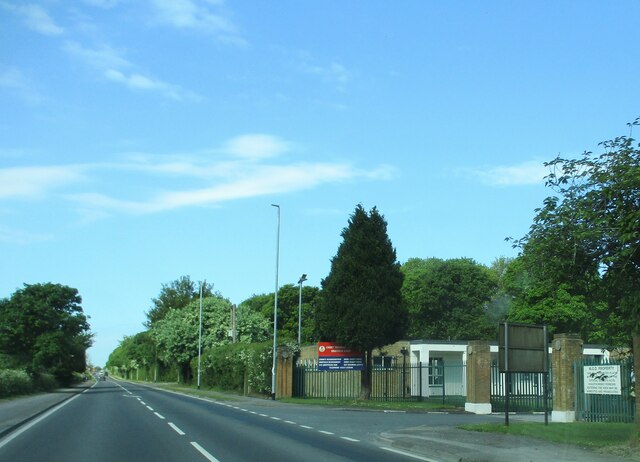
Sunderlandwick Village Images
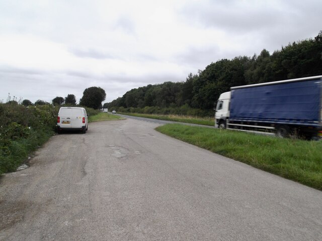
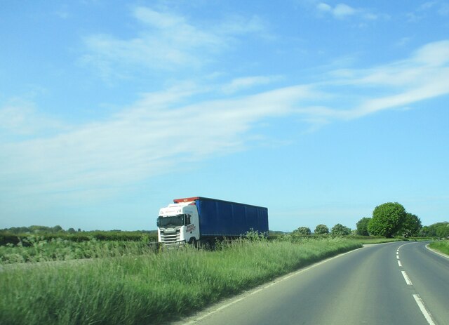
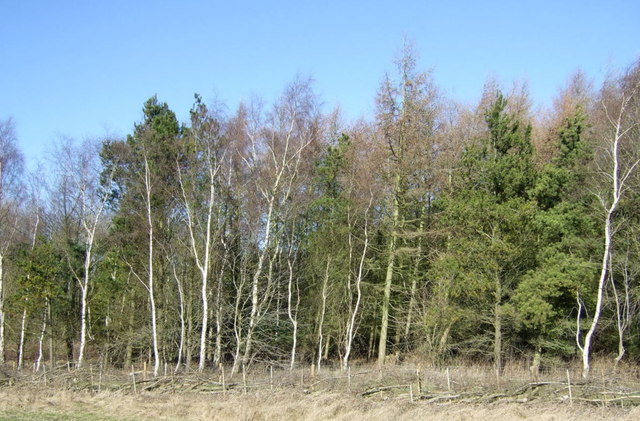
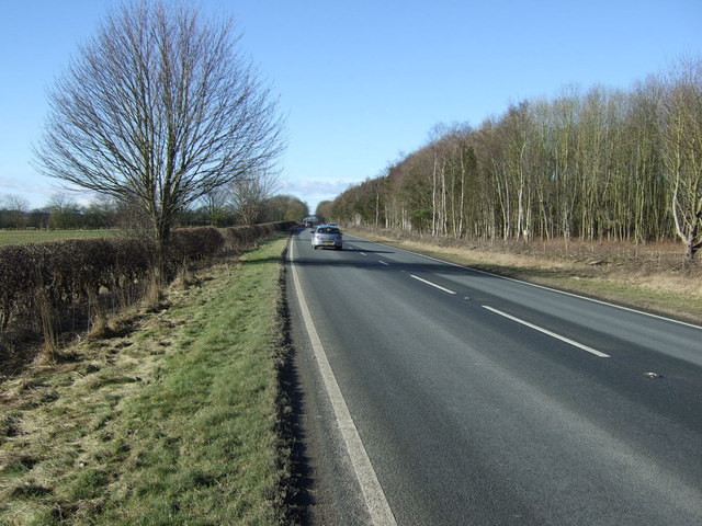
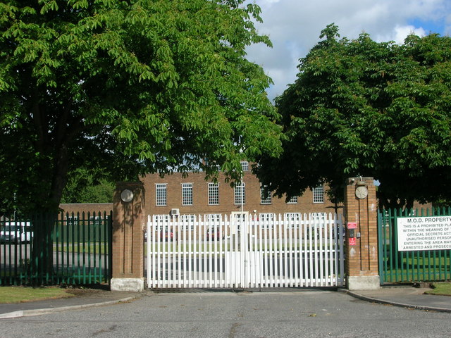
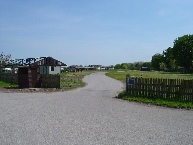
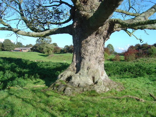
Images are sourced within 2km of 53.985/-0.452 or Grid Reference TA0155. Thanks to Geograph Open Source API. All images are credited.


Sunderlandwick Village is located at Grid Ref: TA0155 (Lat: 53.985, Lng: -0.452)
Division: East Riding
Unitary Authority: East Riding of Yorkshire
Police Authority: Humberside
What 3 Words
///toenail.imperious.feasting. Near Driffield, East Yorkshire
Nearby Locations
Related Wikis

Sunderlandwick
Sunderlandwick is a hamlet in the East Riding of Yorkshire, England. It is situated approximately 1.5 miles (2.4 km) south of Driffield and lies to the...
Kelleythorpe
Kelleythorpe is a hamlet in the East Riding of Yorkshire, England, it forms part of the civil parish of Kirkburn. It is situated in the Yorkshire Wolds...
Driffield Show
Driffield Show is a one-day agricultural show held in mid-July in the town of Driffield. The showground is located southwest of the town near Kelleythorpe...
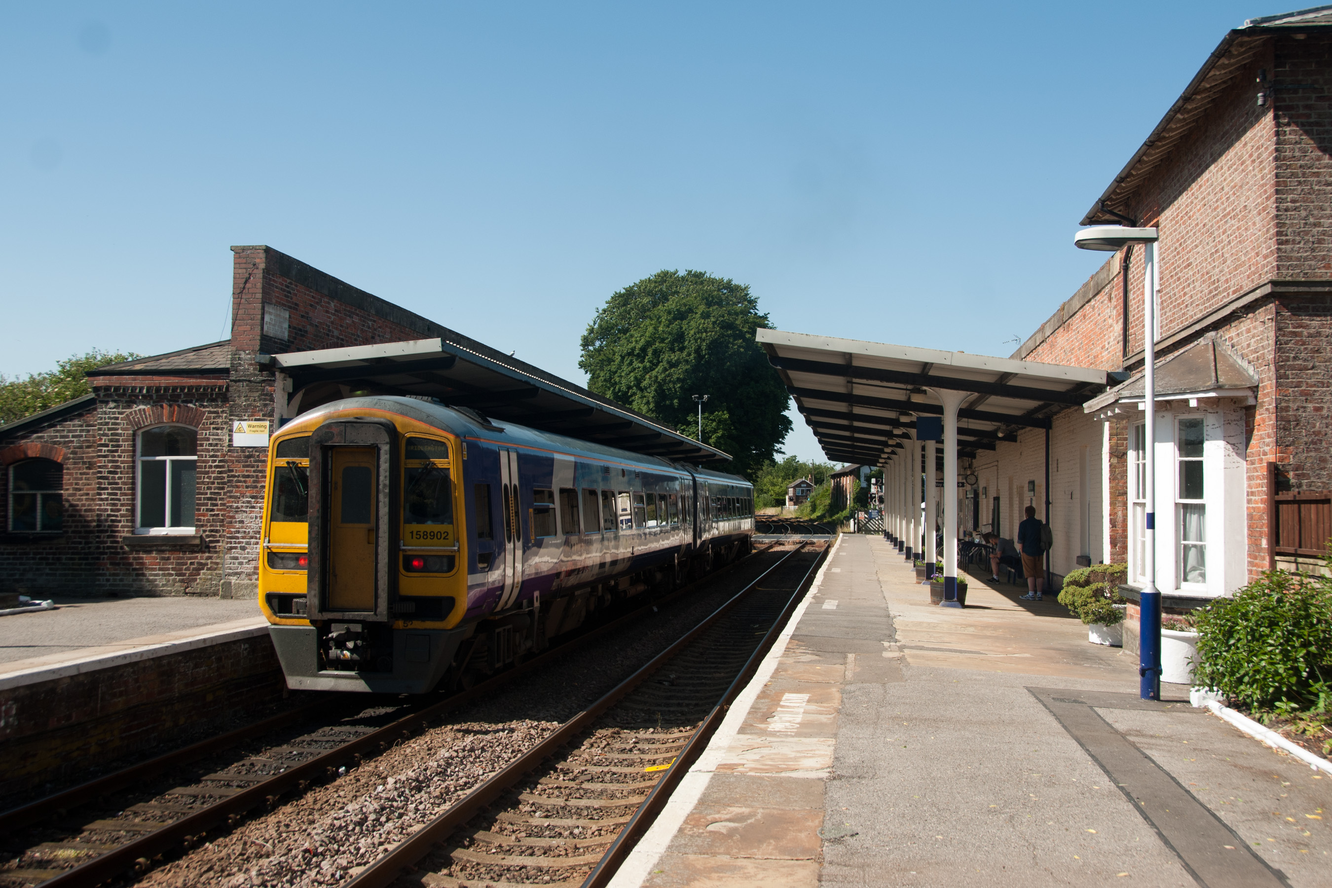
Driffield railway station
Driffield railway station serves the town of Driffield in the East Riding of Yorkshire, England. It is located on the Hull–Scarborough line and is operated...
Eastburn, East Riding of Yorkshire
Eastburn is a hamlet and former civil parish, now in the parish of Kirkburn, in the East Riding of Yorkshire, England. It is situated in the Yorkshire...

Driffield
Driffield, also known as Great Driffield, is a market town and civil parish in the East Riding of Yorkshire, England. The civil parish is formed by the...
Little Driffield
Little Driffield is a small village in the civil parish of Driffield, in the East Riding of Yorkshire, England. It is situated on the western outskirts...

Yorkshire Wolds
The Yorkshire Wolds are hills in the counties of the East Riding of Yorkshire and North Yorkshire in Northern England. They are the northernmost chalk...
Nearby Amenities
Located within 500m of 53.985,-0.452Have you been to Sunderlandwick Village?
Leave your review of Sunderlandwick Village below (or comments, questions and feedback).