Milborne Wick
Settlement in Somerset South Somerset
England
Milborne Wick
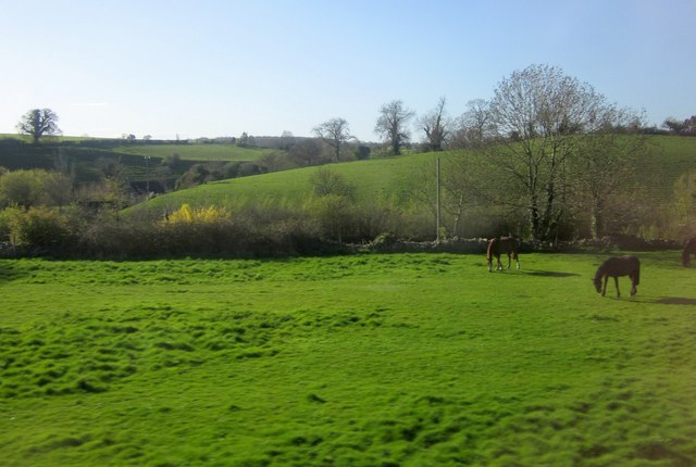
Milborne Wick is a small village located in the county of Somerset, England. Situated about 5 miles northeast of Sherborne, it falls within the district of South Somerset. The village is surrounded by beautiful countryside and offers a peaceful and picturesque setting for its residents.
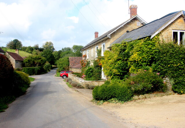
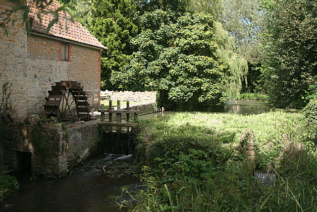
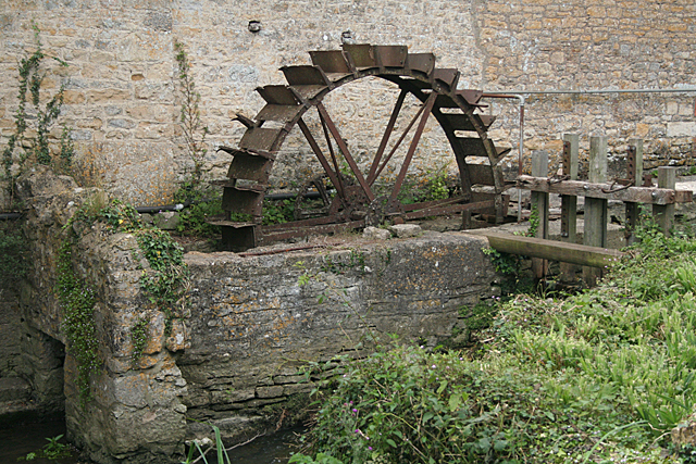
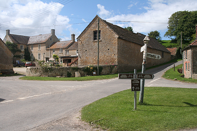
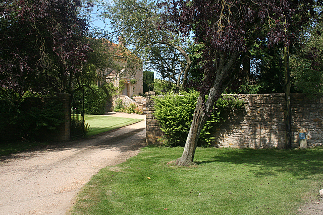
Historically, Milborne Wick dates back to at least the 13th century and was mentioned in the Domesday Book. The village is known for its charming thatched cottages, traditional stone buildings, and a quaint village green. Agriculture has been a vital part of the local economy, with farming activities prevalent in the area.
The village does not have many amenities of its own, but it benefits from its proximity to larger towns and cities. Residents can access a wider range of services and facilities in nearby Sherborne, which offers a variety of shops, schools, healthcare services, and leisure activities.
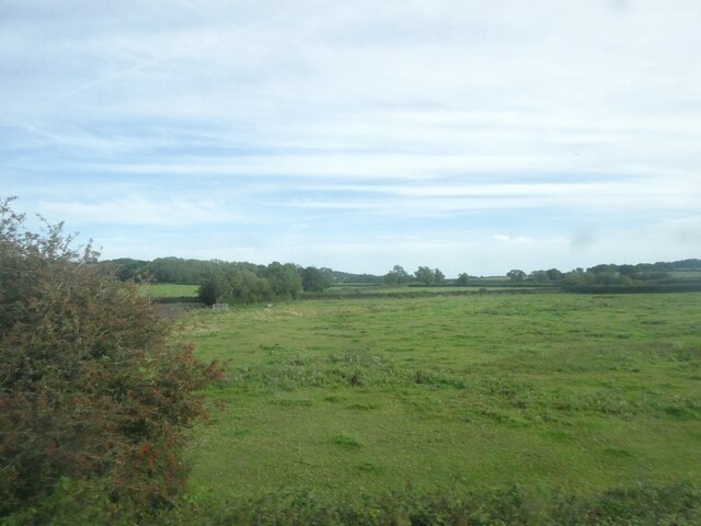
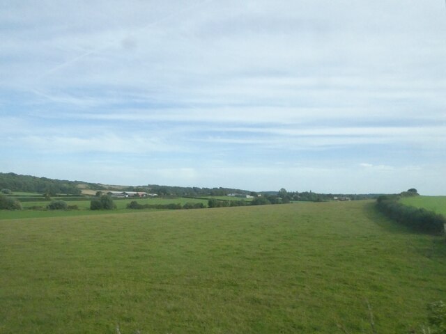
Milborne Wick is also surrounded by a number of natural attractions, providing opportunities for outdoor pursuits. The village is within close reach of the Blackmore Vale, an Area of Outstanding Natural Beauty, where visitors can explore rolling hills, lush meadows, and charming villages.
Overall, Milborne Wick is a tranquil and picturesque village, offering a sense of community and a rural lifestyle. With its historic charm and beautiful surroundings, it is an attractive place to live for those seeking a peaceful countryside retreat.
If you have any feedback on the listing, please let us know in the comments section below.
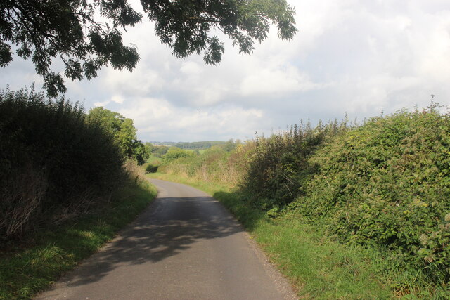
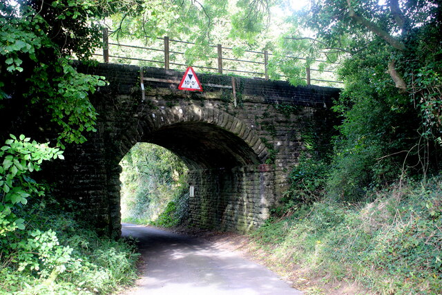
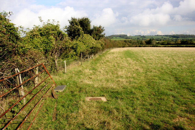
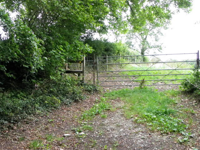
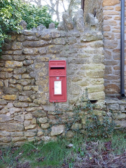
Milborne Wick Images
Images are sourced within 2km of 50.983954/-2.475934 or Grid Reference ST6620. Thanks to Geograph Open Source API. All images are credited.


Milborne Wick is located at Grid Ref: ST6620 (Lat: 50.983954, Lng: -2.475934)
Administrative County: Somerset
District: South Somerset
Police Authority: Avon and Somerset
What 3 Words
///rummage.destroyer.prancing. Near Milborne Port, Somerset
Nearby Locations
Related Wikis
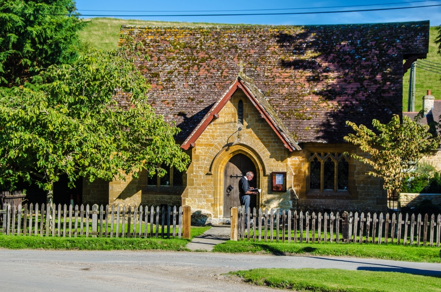
Milborne Wick Mission Church
Milborne Wick Mission Church is a Church of England church in Milborne Wick, Somerset, England. The church was built in 1891 and is a Grade II listed building...

Miller's Hill, Milborne Wick
Miller's Hill, Milborne Wick (grid reference ST66312057) is a 0.6-hectare (1.5-acre) geological Site of Special Scientific Interest at Milborne Wick in...

Laycock Railway Cutting
Laycock Railway Cutting (grid reference ST678213) is a 1.3 hectare geological Site of Special Scientific Interest near Milborne Port in Somerset, notified...

Poyntington
Poyntington is a village and civil parish in the county of Dorset in South West England. It lies on the edge of the Blackmore Vale about 2 miles (3.2 km...

Milborne Port
Milborne Port is a village, electoral ward and civil parish in Somerset, England, east of Sherborne, and in the South Somerset district. It has a population...
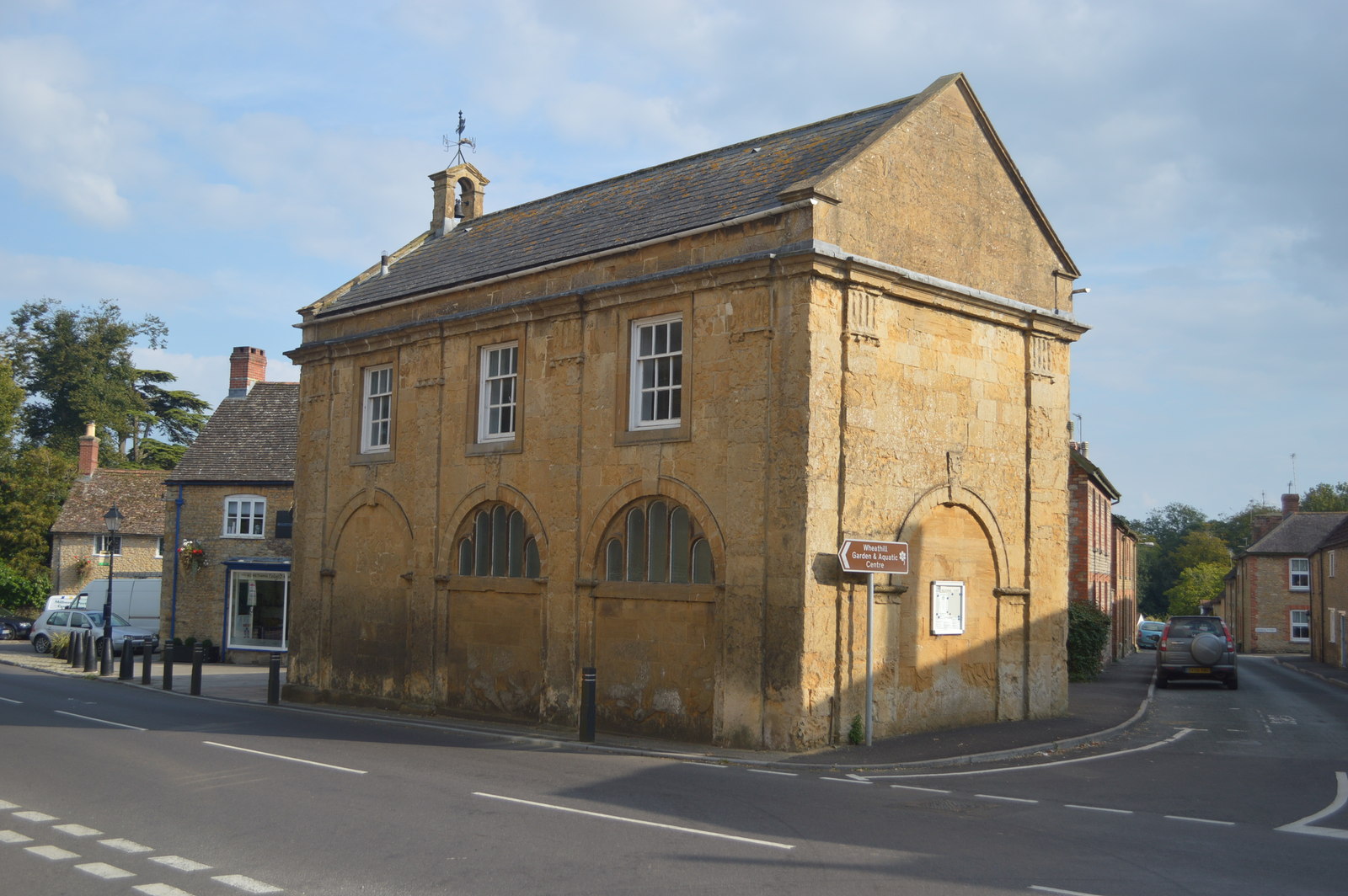
Milborne Port Town Hall
Milborne Port Town Hall is a municipal building in the High Street in Milborne Port, Somerset, England. The structure, which serves as meeting place of...
Church of St John the Evangelist, Milborne Port
The Church of St John the Evangelist in Milborne Port, Somerset, England is a cruciform church of late Anglo-Saxon date and parts may well span the Norman...

Oborne
Oborne is a village and civil parish in north west Dorset, England, situated just north of the A30 road approximately 1 mile (1.6 km) northeast of Sherborne...
Nearby Amenities
Located within 500m of 50.983954,-2.475934Have you been to Milborne Wick?
Leave your review of Milborne Wick below (or comments, questions and feedback).