Milborne Port
Settlement in Somerset South Somerset
England
Milborne Port
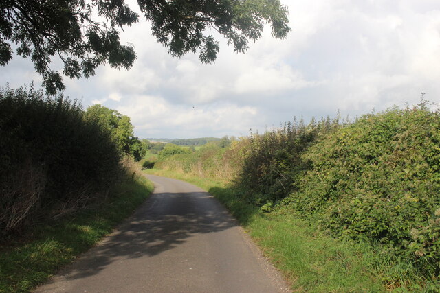
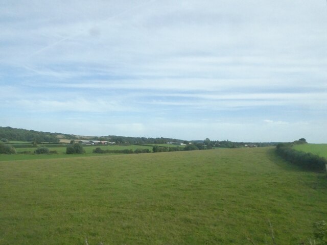
Milborne Port is a small village located in the county of Somerset, England. Situated on the River Lydden, it is nestled in the picturesque countryside of the Blackmore Vale. The village is part of the South Somerset district and lies approximately 3 miles west of the town of Sherborne in neighboring Dorset.
With a population of around 1,700 people, Milborne Port has a rich history that dates back to Roman times. Evidence of Roman settlements and artifacts have been discovered in the area, indicating its long-standing significance. The village was mentioned in the Domesday Book of 1086, highlighting its importance during the medieval period.
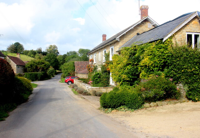
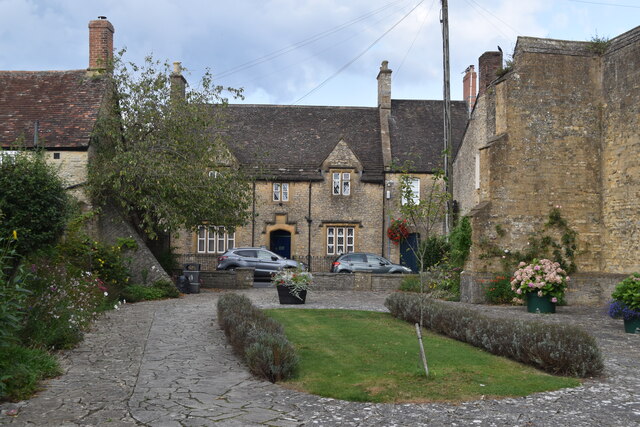
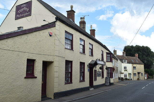
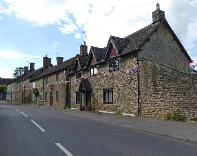
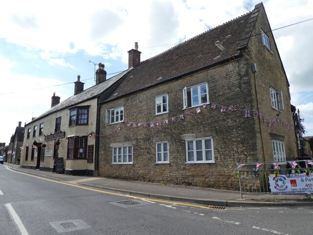
Today, Milborne Port retains its charm and character, with a mix of traditional thatched cottages and more modern housing. The village center features a variety of local amenities such as a post office, shops, and pubs, providing residents with convenient access to daily necessities.
The community in Milborne Port is active and vibrant, with various events and activities taking place throughout the year. The village hosts an annual summer carnival and a Christmas market, bringing together residents and visitors alike. Additionally, there are several clubs and societies catering to different interests, including sports, arts, and history.
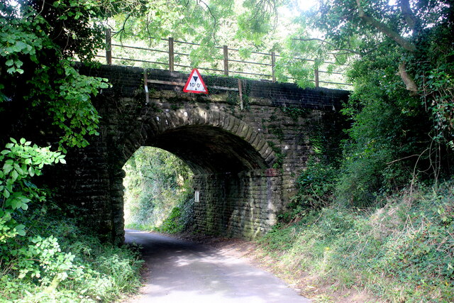
The surrounding countryside offers beautiful walking and cycling routes, allowing residents to enjoy the natural beauty of the area. Milborne Port is well-connected by road, with the A30 passing through the village, providing easy access to neighboring towns and cities.
Overall, Milborne Port is a charming village that offers a peaceful and picturesque lifestyle, steeped in history and surrounded by stunning countryside.
If you have any feedback on the listing, please let us know in the comments section below.
Milborne Port Images
Images are sourced within 2km of 50.966246/-2.460629 or Grid Reference ST6718. Thanks to Geograph Open Source API. All images are credited.


Milborne Port is located at Grid Ref: ST6718 (Lat: 50.966246, Lng: -2.460629)
Administrative County: Somerset
District: South Somerset
Police Authority: Avon and Somerset
What 3 Words
///found.tennis.workbench. Near Milborne Port, Somerset
Nearby Locations
Related Wikis
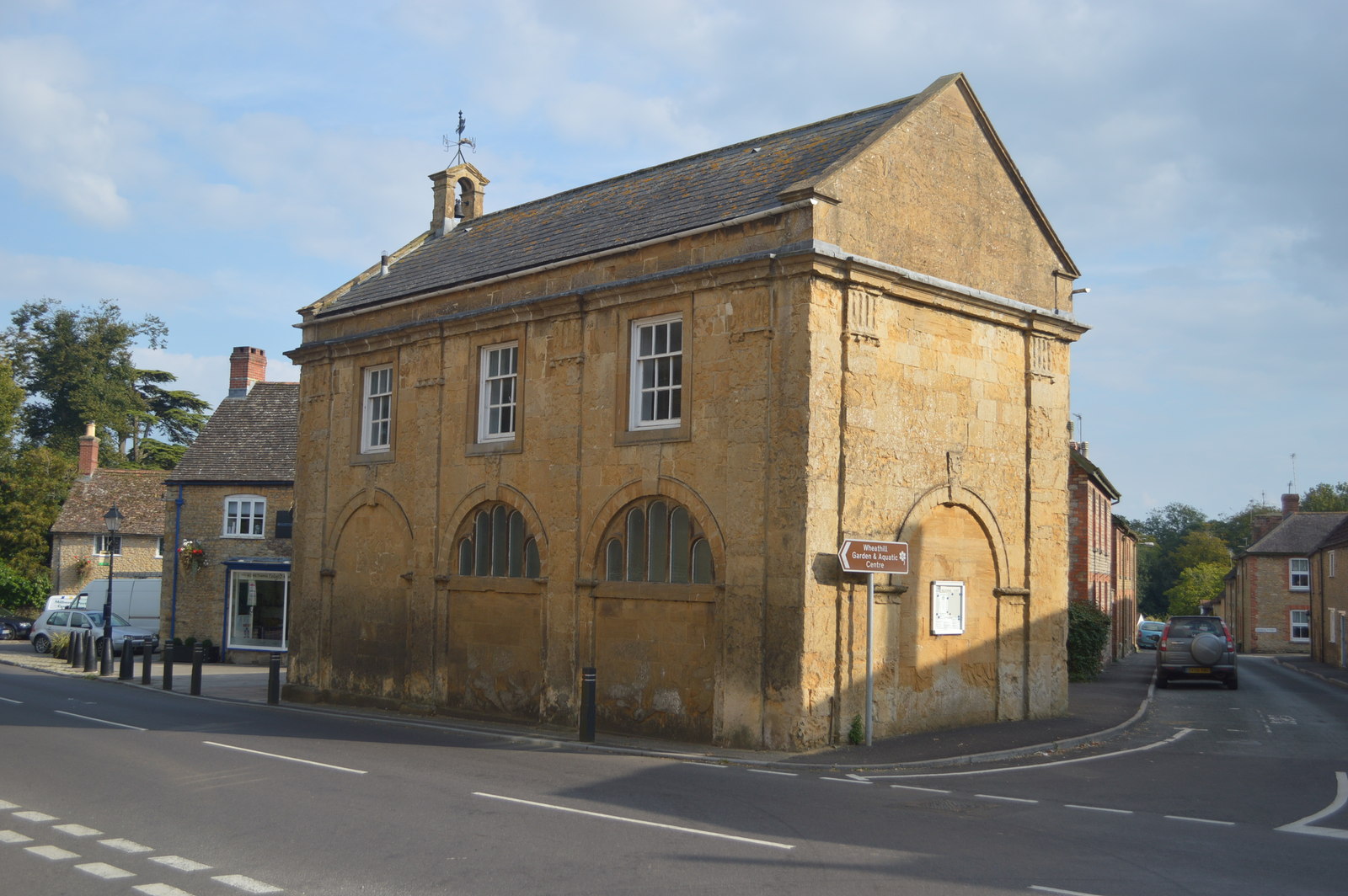
Milborne Port Town Hall
Milborne Port Town Hall is a municipal building in the High Street in Milborne Port, Somerset, England. The structure, which serves as meeting place of...

Milborne Port
Milborne Port is a village, electoral ward and civil parish in Somerset, England, east of Sherborne, and in the South Somerset district. It has a population...
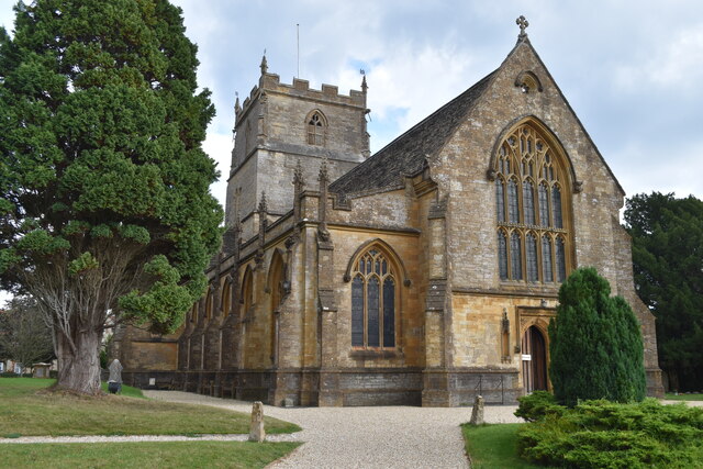
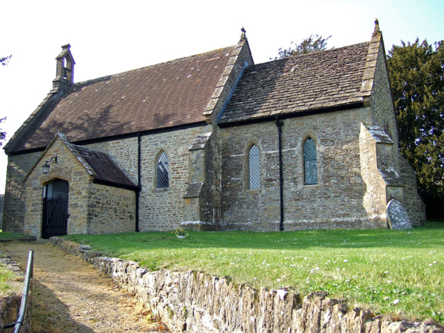
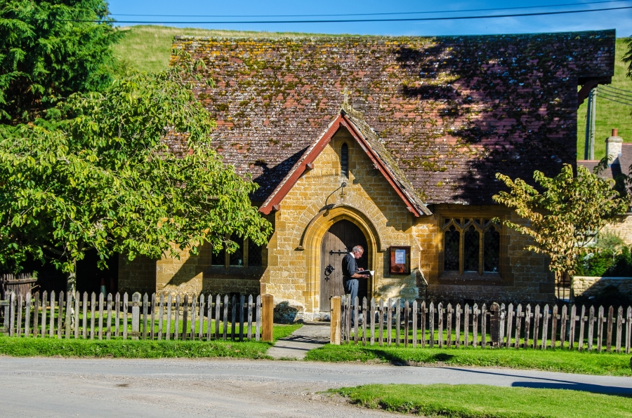
Church of St John the Evangelist, Milborne Port
The Church of St John the Evangelist in Milborne Port, Somerset, England is a cruciform church of late Anglo-Saxon date and parts may well span the Norman...

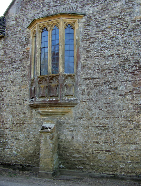
Ven House
Ven House in Milborne Port, Somerset, England is an English manor house that has been designated as a Grade I listed building.Construction of the smaller...

Goathill Quarry
Goathill Quarry (grid reference ST671175) is a 0.3 hectare geological Site of Special Scientific Interest near Goathill in Dorset, England, notified in...

Goathill
Goathill is a village and civil parish in the county of Dorset in England, situated in northern Dorset, a couple of miles east of the town of Sherborne...

Purse Caundle
Purse Caundle is a village and civil parish in the county of Dorset in southwest England. It lies within the Dorset Council administrative area, about...
Milborne Wick Mission Church
Milborne Wick Mission Church is a Church of England church in Milborne Wick, Somerset, England. The church was built in 1891 and is a Grade II listed building...
Nearby Amenities
Located within 500m of 50.966246,-2.460629Have you been to Milborne Port?
Leave your review of Milborne Port below (or comments, questions and feedback).