St Nonna's Well

Heritage Site in Cornwall

England

St Nonna's Well

St Cuby's Church
St Cuby's Church Credit: Paul Barnett

St Nonna's Well is a historic site located in the village of Altarnun in Cornwall, England. The well is dedicated to St Nonna, a sixth-century saint known for her miraculous healing powers.

The well itself is a small, stone structure with a natural spring that is believed to have healing properties. It is said that St Nonna used the water from the well to cure the sick and afflicted in the area. Pilgrims have been visiting the well for centuries in hopes of receiving healing and blessings.

The site is surrounded by lush greenery and offers a peaceful and serene atmosphere for visitors. There is a small chapel nearby where visitors can pray and reflect. The well is often decorated with flowers and tokens left by those seeking healing or giving thanks for answered prayers.

St Nonna's Well is a popular destination for both locals and tourists interested in the history and traditions of Cornwall. It is a unique and sacred site that continues to draw visitors seeking spiritual healing and connection with the past.

If you have any feedback on the listing, please let us know in the comments section below.

St Nonna's Well Images

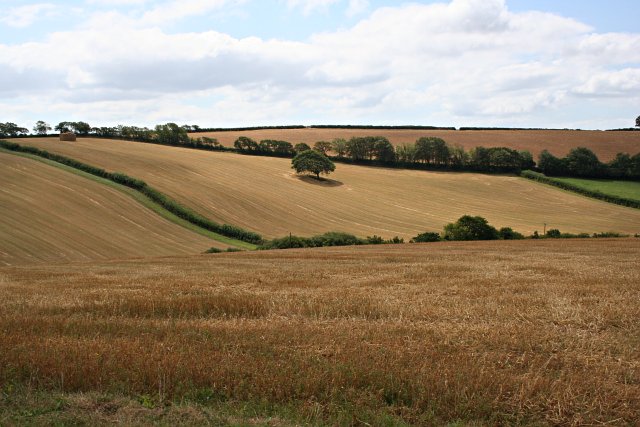
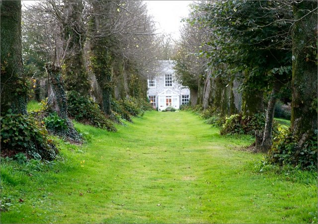
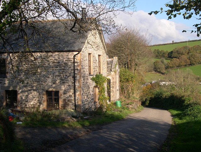
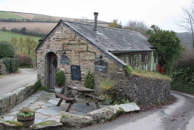
Images are sourced within 2km of 50.382/-4.497 or Grid Reference SX2256. Thanks to Geograph Open Source API. All images are credited.

St Cuby's Church
St Cuby's Church
Former United Methodist Church
Duloe : War Memorial A war memorial beside the B3254.
Duloe : War Memorial
A war memorial beside the B3254.
Duloe : B3254 Heading along the B3254.
Duloe : B3254
Heading along the B3254.
Duloe : Track A track leading to a gate and beyond into the field.
Duloe : Track
A track leading to a gate and beyond into the field.
Field and woodland This shot looks over a field onto mixed plantations of coniferous and broad-leaved trees.  There is quite a deep valley between the foreground and background trees.
Field and woodland
This shot looks over a field onto mixed plantations of coniferous and broad-leaved trees. There is quite a deep valley between the foreground and background trees.
Renovated houses at Milcombe It is unclear whether the building in the foreground was originally a house or had some other function.  The building behind it however was originally a methodist church.
Renovated houses at Milcombe
It is unclear whether the building in the foreground was originally a house or had some other function. The building behind it however was originally a methodist church.
West Looe River south of Sowden's Bridge
Pelynt: South Muchlarnick Farm entrance Looking south
Pelynt: South Muchlarnick Farm entrance
Looking south
Duloe: junior school and church Church of England VA Junior and Infant School. With cottages and church beyond. Looking north east
Duloe: junior school and church
Church of England VA Junior and Infant School. With cottages and church beyond. Looking north east
Duloe: hedging near Trelawne Mill Farm And below Hill Head Cottage. Looking north
Duloe: hedging near Trelawne Mill Farm
And below Hill Head Cottage. Looking north
Duloe: Colhender Farm Seen from Tredinnick, looking north west. Note the communications mast on the horizon
Duloe: Colhender Farm
Seen from Tredinnick, looking north west. Note the communications mast on the horizon
West Looe valley Looking N/NE from St Nonna's Well up the valleyr
West Looe valley
Looking N/NE from St Nonna's Well up the valleyr
West Looe valley Looking SE from St Nonna's Well, toward the coast.r
West Looe valley
Looking SE from St Nonna's Well, toward the coast.r
Cereal Cropland The cereal crops have now largely been harvested.
Cereal Cropland
The cereal crops have now largely been harvested.
Duloe Looking south along the main road through the village of Duloe.  The church is prominent on higher ground at the southern edge of the village.
Duloe
Looking south along the main road through the village of Duloe. The church is prominent on higher ground at the southern edge of the village.
Duloe Manor HPB Holiday Homes Avenue of lime trees
Duloe Manor HPB Holiday Homes
Avenue of lime trees
Catherinepark Wood This is an area of conifer plantation occupying the valley bottom.
Catherinepark Wood
This is an area of conifer plantation occupying the valley bottom.
Show me another place!

St Nonna's Well is located at Grid Ref: SX2256 (Lat: 50.382, Lng: -4.497)

Unitary Authority: Cornwall

Police Authority: Devon and Cornwall

What 3 Words

///searched.brambles.milder. Near Duloe, Cornwall

Nearby Locations

St Nonna's Well

Related Wikis

Muchlarnick

Muchlarnick (Cornish: Lannergh Meur, meaning great woodland clearing) is a hamlet in Cornwall, England. It is about two miles east of Lanreath in the civil...

Milcombe, Cornwall

Milcombe is a hamlet in the parish of Pelynt in Cornwall, England. Milcombe is in the valley of the West Looe River south of Sowden's Bridge and east of...

Duloe stone circle

Duloe stone circle or Duloe circle is a stone circle near the village of Duloe, located 5 miles (8.0 km) from Looe in southeast Cornwall, England, UK....

Trefanny Hill

Trefanny Hill is a hamlet in the parish of Duloe, Cornwall, England, United Kingdom. The hamlet was formerly called Hille or Hill.None of the men from...

Nearby Amenities

Located within 500m of 50.382,-4.497
Barrier: stile
Material: wood
Stile: stepover
Lat/Long: 50.3824431/-4.4974281
Historic: ruins
Lat/Long: 50.3815127/-4.4973583
The data included in this document is from www.openstreetmap.org. The data is made available under ODbL.

Have you been to St Nonna's Well?

Leave your review of St Nonna's Well below (or comments, questions and feedback).