Seven Barrows

Heritage Site in Berkshire

England

Seven Barrows

Gallops and road, Lambourn
Gallops and road, Lambourn Credit: Andrew Smith

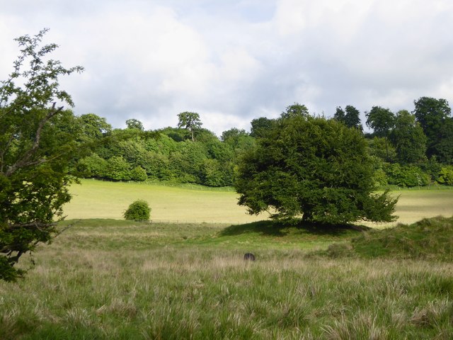
Seven Barrows is a significant archaeological site located in Berkshire, England. Situated on the Berkshire Downs, it encompasses a cluster of seven prehistoric burial mounds, or barrows, hence its name. These barrows date back to the Late Neolithic and Early Bronze Age periods, making them approximately 4,000 years old.

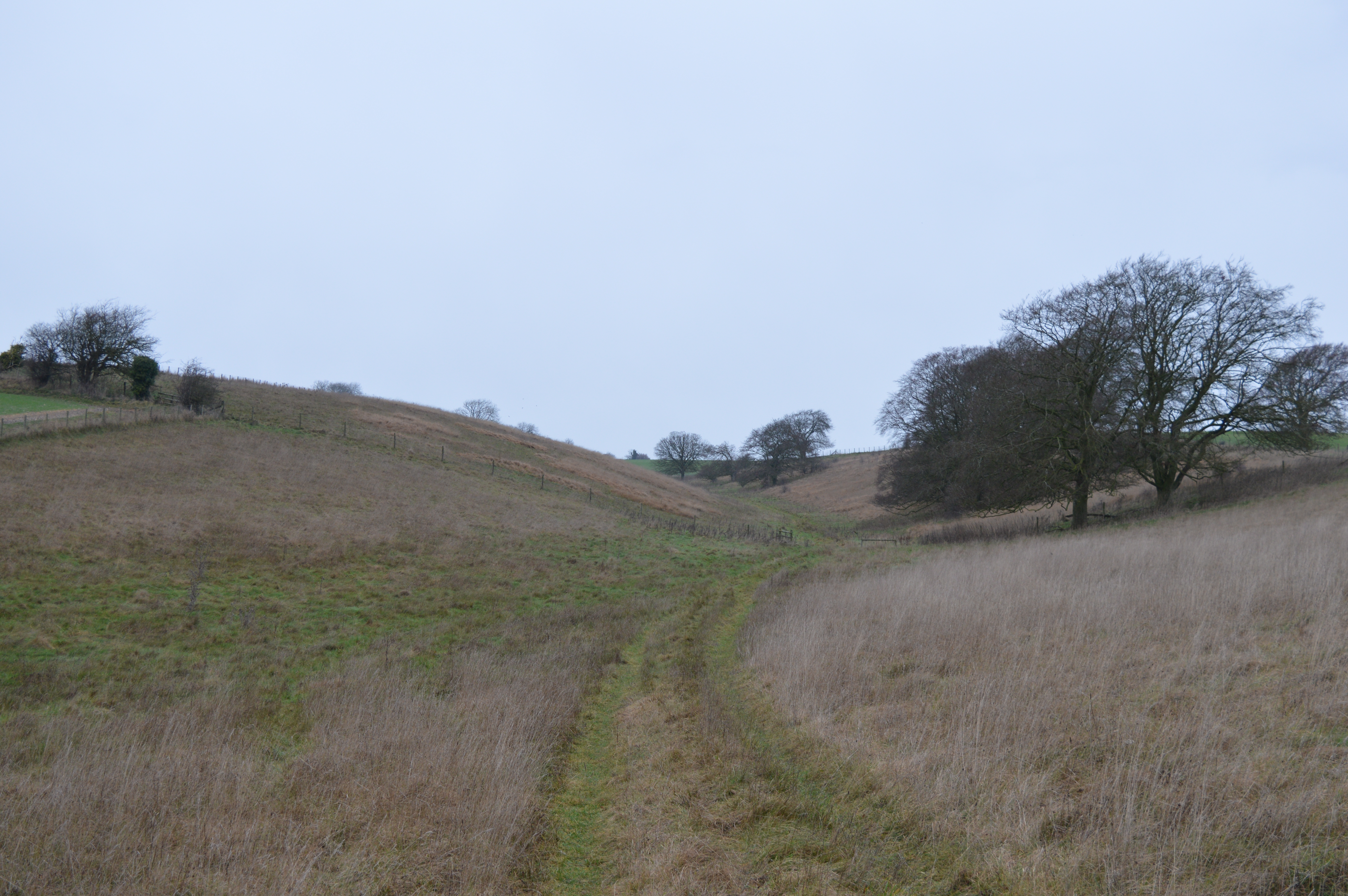
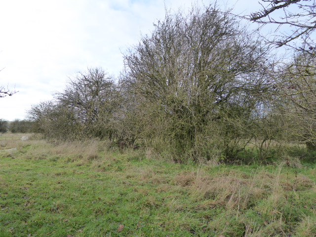
The site has been of great interest to archaeologists and historians due to its well-preserved nature and the insights it offers into the lives and burial practices of the ancient inhabitants. The barrows vary in size and shape, with some being circular while others are elongated. They were constructed using earth and stones, and evidence suggests that they were used to bury important individuals, possibly representing local leaders or nobility.

Excavations at Seven Barrows have unearthed a wealth of artifacts, including pottery, flint tools, and personal ornaments, providing valuable information about the material culture of the time. The site's location on the downs also offers stunning views of the surrounding landscape, adding to its aesthetic and historical appeal.

Today, Seven Barrows is recognized as a protected heritage site, with efforts made to preserve and maintain its archaeological integrity. Visitors can explore the site and observe the barrows, although access may be limited to protect the fragile remains. Interpretive signage and information boards are available to provide historical context and enhance the visitor experience. Seven Barrows stands as a testament to the ancient past and serves as a significant cultural and historical landmark in Berkshire.

If you have any feedback on the listing, please let us know in the comments section below.

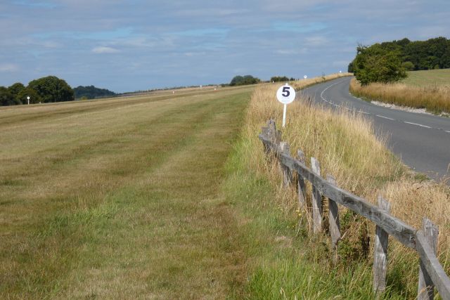
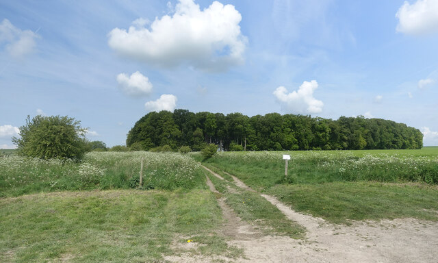
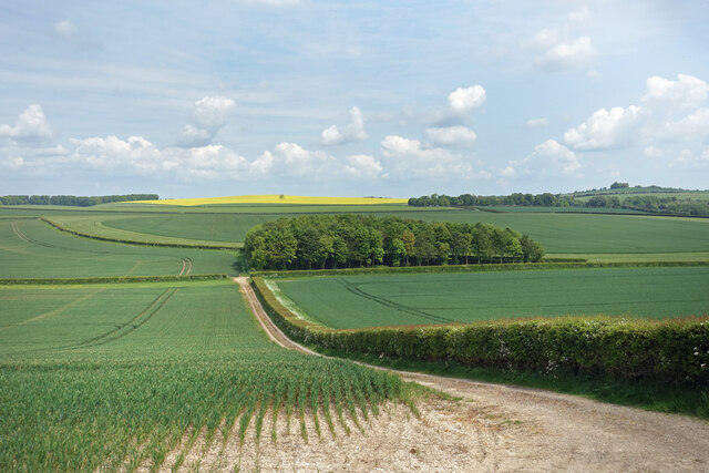
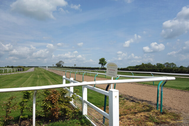
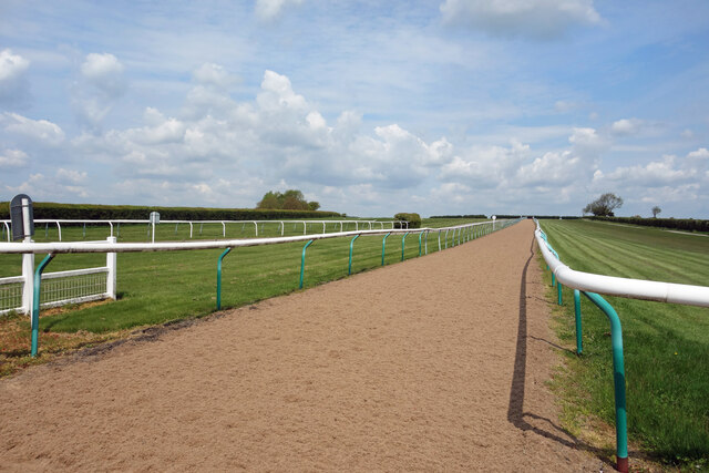
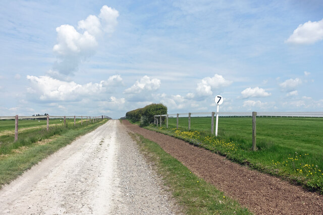
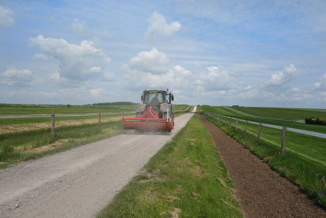
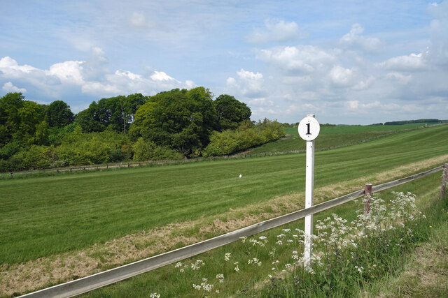
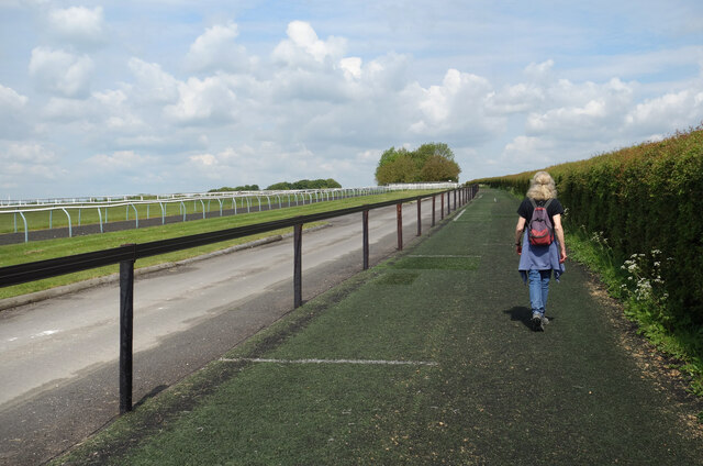
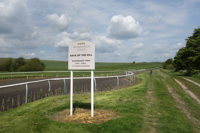
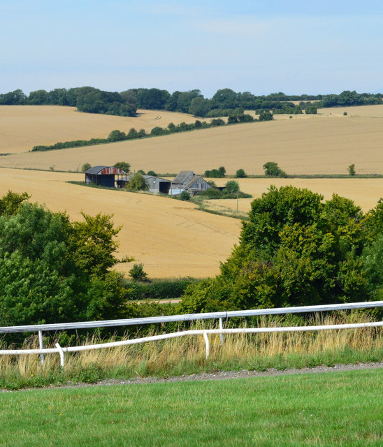
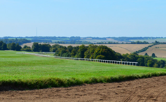
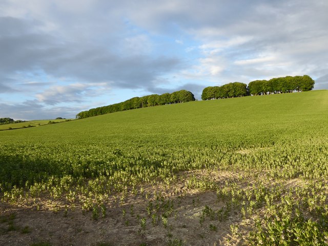
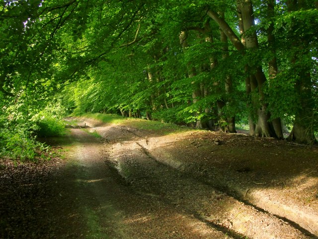
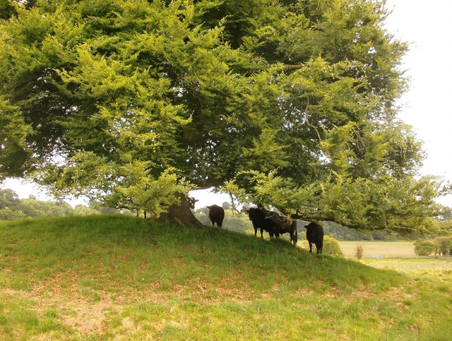
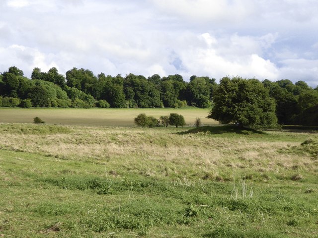
Seven Barrows Images

Images are sourced within 2km of 51.54/-1.532 or Grid Reference SU3282. Thanks to Geograph Open Source API. All images are credited.

Gallops and road, Lambourn
Track and Small Wood, Westcot Down Larger trees round here tend to occur in clumps of woodland like this rather than be on their own or in hedges.
There is a patch of rough ground by the track here where you can leave the car and start off on a nice walk over the downs. 
Oxfordshire on the right, Berkshire on the left.
Track and Small Wood, Westcot Down
Larger trees round here tend to occur in clumps of woodland like this rather than be on their own or in hedges. There is a patch of rough ground by the track here where you can leave the car and start off on a nice walk over the downs. Oxfordshire on the right, Berkshire on the left.
Passing Number Four A distance marker along one of the specially surfaced tracks for horses which are a feature of the Lambourn Downs, the Valley of the Racehorse, as roadside signs proclaim. All this area is used for training. 
I think the black stuff is made from old chopped up car tyres. A bridleway for ordinary horses goes along beside the posh one.
Passing Number Four
A distance marker along one of the specially surfaced tracks for horses which are a feature of the Lambourn Downs, the Valley of the Racehorse, as roadside signs proclaim. All this area is used for training. I think the black stuff is made from old chopped up car tyres. A bridleway for ordinary horses goes along beside the posh one.
County Hedges Berkshire is this field down to the corner and then along the hedge to the left. Other side of the hedge and off to the horizon is Oxfordshire.
A view on Kingston Warren Down.
County Hedges
Berkshire is this field down to the corner and then along the hedge to the left. Other side of the hedge and off to the horizon is Oxfordshire. A view on Kingston Warren Down.
Caution, Horses Crossing I guess there's always an element of risk somewhere like this, where a public footpath crosses a track where racehorses are frequently on the move. 
Owners The Jockey Club have tried to make it as obvious as they can what's going on.
Caution, Horses Crossing
I guess there's always an element of risk somewhere like this, where a public footpath crosses a track where racehorses are frequently on the move. Owners The Jockey Club have tried to make it as obvious as they can what's going on.
Soft Road for Racehorses Different from the track we were walking beside a short way back, which looked to be surfaced with shredded tyres, this one seems to be made of shredded carpet or something.
All very good recycling, it would appear.
More of the ultra neat landscape on the Jockey Club's estate near Lambourn.
Soft Road for Racehorses
Different from the track we were walking beside a short way back, which looked to be surfaced with shredded tyres, this one seems to be made of shredded carpet or something. All very good recycling, it would appear. More of the ultra neat landscape on the Jockey Club's estate near Lambourn.
No. 7 beside the track Heading for the top of Wellbottom Down where the map shows a spot height of 199 maod.
These distance markers along the horse gallops are small scale features in otherwise quite large and open scenery.
No. 7 beside the track
Heading for the top of Wellbottom Down where the map shows a spot height of 199 maod. These distance markers along the horse gallops are small scale features in otherwise quite large and open scenery.
A Passing Tractor One of the many unsurfaced roads which cross the Downs, this is also part of the Lambourn Valley Way ldp about half way between Lambourn and the northern end of the path at White Horse Hill.
A Passing Tractor
One of the many unsurfaced roads which cross the Downs, this is also part of the Lambourn Valley Way ldp about half way between Lambourn and the northern end of the path at White Horse Hill.
Baldback Covert One of the small clumps of woodland which are allowed to continue in this otherwise very open landscape of fields and horse training gallops.
One of those is in the foreground with one of the distance markers which are also a feature of the Lambourn Valley scenery.
Baldback Covert
One of the small clumps of woodland which are allowed to continue in this otherwise very open landscape of fields and horse training gallops. One of those is in the foreground with one of the distance markers which are also a feature of the Lambourn Valley scenery.
Carpet for Horses Another version of the soft surfaces put down along the roads used by racehorses on the Downs. This is a sort of rubberized matting which is nice and pungey to walk along. I'm not surprised the horses like it.
A good effect of all this care and attention for horse tracks is that the public rights of way round here don't get churned up nearly so much as in other places.
Carpet for Horses
Another version of the soft surfaces put down along the roads used by racehorses on the Downs. This is a sort of rubberized matting which is nice and pungey to walk along. I'm not surprised the horses like it. A good effect of all this care and attention for horse tracks is that the public rights of way round here don't get churned up nearly so much as in other places.
Maintaining the Back Of The Hill Maintenance is done 9:15 to 9:30 on Tuesdays and Saturdays apparently. That must just be the track surface. Keeping this estate so neat is going to take more than half an hour a week.
Maintaining the Back Of The Hill
Maintenance is done 9:15 to 9:30 on Tuesdays and Saturdays apparently. That must just be the track surface. Keeping this estate so neat is going to take more than half an hour a week.
Gallop, Lambourn, Berkshire
A field of beans on the flank of Sparsholt Down The crop here - vast acres of it - is broad beans.  The narrow strip of woodland runs along the crest of Sparsholt Down.
A field of beans on the flank of Sparsholt Down
The crop here - vast acres of it - is broad beans. The narrow strip of woodland runs along the crest of Sparsholt Down.
Byway on Pit Down Here running north-east and uphill, shaded by a plantation of beeches.  Behind the camera the track leads downhill to Seven Barrows and the road to Lambourn.
Byway on Pit Down
Here running north-east and uphill, shaded by a plantation of beeches. Behind the camera the track leads downhill to Seven Barrows and the road to Lambourn.
Seven Barrows: cattle sheltering from rain One of the most prominent barrows has a beech tree growing on top of it, and these bullocks were huddling beneath it during a drizzly spell.  They soon emerged when the sun came out.

Walking round the enclosed area of Seven Barrows nature reserve, I soon realised that there were more than seven mounds. I've seen estimates of two dozen and more - though they may refer to an area larger than the enclosed reserve.
Seven Barrows: cattle sheltering from rain
One of the most prominent barrows has a beech tree growing on top of it, and these bullocks were huddling beneath it during a drizzly spell. They soon emerged when the sun came out. Walking round the enclosed area of Seven Barrows nature reserve, I soon realised that there were more than seven mounds. I've seen estimates of two dozen and more - though they may refer to an area larger than the enclosed reserve.
The Seven Barrows nature reserve This is the site of a Bronze Age barrow cemetery, lying in a hollow on the Lambourn Downs.  Walking round the site you soon realise that there are more barrows than the name suggests.  My guess would be that the name dates from the centuries when mystical significance was assigned to the number seven (hence Seven Stars, Seven Seas, Seven Deadly Sins, Seven Ages of Man).

The enclosed nature reserve is managed by the Berks., Bucks. & Oxon. Wildlife Trust, chiefly to conserve a small population of the Marsh Fritillary butterfly - a scarce species whose distribution has retreated westwards in the last half-century.
The Seven Barrows nature reserve
This is the site of a Bronze Age barrow cemetery, lying in a hollow on the Lambourn Downs. Walking round the site you soon realise that there are more barrows than the name suggests. My guess would be that the name dates from the centuries when mystical significance was assigned to the number seven (hence Seven Stars, Seven Seas, Seven Deadly Sins, Seven Ages of Man). The enclosed nature reserve is managed by the Berks., Bucks. & Oxon. Wildlife Trust, chiefly to conserve a small population of the Marsh Fritillary butterfly - a scarce species whose distribution has retreated westwards in the last half-century.
Seven Barrows This hollow in the Lambourn Downs is the site of a Bronze Age round-barrow cemetery.  There are a good many mounds (certainly more than seven) but they are crowded together, and many sit in shallow depressions.  An individual barrow may appear out of the long grass only as you approach it.  The mound with the beech tree is perhaps the most isolated, and certainly the easiest to pick out at a distance.

The picture was taken in rapidly changing light (after rain), and the light and shade helps emphasise the uneven relief.
Seven Barrows
This hollow in the Lambourn Downs is the site of a Bronze Age round-barrow cemetery. There are a good many mounds (certainly more than seven) but they are crowded together, and many sit in shallow depressions. An individual barrow may appear out of the long grass only as you approach it. The mound with the beech tree is perhaps the most isolated, and certainly the easiest to pick out at a distance. The picture was taken in rapidly changing light (after rain), and the light and shade helps emphasise the uneven relief.
Show me another place!

Seven Barrows is located at Grid Ref: SU3282 (Lat: 51.54, Lng: -1.532)

Unitary Authority: West Berkshire

Police Authority: Thames Valley

What 3 Words

///campsites.fakes.highways. Near Lambourn, Berkshire

Related Wikis

Croker's Hole

Croker's Hole is a 4.4-hectare (11-acre) biological Site of Special Scientific Interest north of Upper Lambourn in Berkshire.The site is a narrow grassland...

Seven Barrows

Seven Barrows is a Bronze Age bowl barrow cemetery, 4-hectare (9.9-acre) of which are designated a biological Site of Special Scientific Interest, at Upper...

Upper Lambourn

Upper Lambourn is a small village in the county of Berkshire, England. The village is situated in the civil parish of Lambourn , and is 1.2 miles (2 km...

Park Farm Down

Park Farm Down or Parkfarm Down is a 3.3-hectare (8.2-acre) biological Site of Special Scientific Interest north-west of Lambourn in Berkshire. It is in...

Nearby Amenities

Located within 500m of 51.54,-1.532
Archaeological Site: tumulus
Historic: archaeological_site
Source: OS_OpenData_StreetView
Lat/Long: 51.5421877/-1.52777
Archaeological Site: tumulus
Historic: archaeological_site
Source: Bing
Lat/Long: 51.5436095/-1.5299532
Lambourn Downs
Place: locality
Source: OS OpenData StreetView
Lat/Long: 51.5398503/-1.5330659
Power: pole
Source: Bing
Lat/Long: 51.5375922/-1.5303074
Power: pole
Source: Bing
Lat/Long: 51.5395642/-1.5312649
Power: pole
Source: Bing
Lat/Long: 51.5362859/-1.5296744
Power: pole
Source: Bing
Lat/Long: 51.5358787/-1.5294893
Power: pole
Source: Bing
Lat/Long: 51.5407486/-1.5318818
Power: pole
Source: Bing
Lat/Long: 51.5413558/-1.5323351
Power: pole
Source: Bing
Lat/Long: 51.5382895/-1.530648
Power: pole
Source: Bing
Lat/Long: 51.5401614/-1.5315626
Power: pole
Source: Bing
Lat/Long: 51.5367447/-1.5298916
Power: pole
Source: Bing
Lat/Long: 51.5371801/-1.5301169
Power: pole
Source: Bing
Lat/Long: 51.5389585/-1.5309618
Postdown Farm House
Addr Housename: Postdown Farm House
Building: house
Source: OS OpenData StreetView
Lat/Long: 51.540683/-1.5305227
Postdown Farm
Landuse: farm
Note Retag: CS #48756035
Source: OS OpenData StreetView
Lat/Long: 51.5384679/-1.5305111
Longacre Farm House
Addr Housename: Longacre Farm House
Building: house
Source: OS OpenData StreetView
Wikidata: Q26410882
Lat/Long: 51.5381879/-1.5288702
The data included in this document is from www.openstreetmap.org. The data is made available under ODbL.

Have you been to Seven Barrows?

Leave your review of Seven Barrows below (or comments, questions and feedback).