Scots' Dike

Heritage Site in Cumberland

England

Scots' Dike

Direction Sign – Signpost at Sarkhall, Kirkandrews Located on the south side of the T junction at Sarkhall in Kirkandrews parish. 3 arms and annulus finial. 

Milestone Society National ID: CU_NY3471
Direction Sign – Signpost at Sarkhall, Kirkandrews Credit: D Phillips

Scots' Dike, located in Cumberland, England, is a historic heritage site that holds significant importance in the region's history and culture. The dike, also known as the "Scots' Dike Earthwork," is an ancient defensive structure that stretches across the border between England and Scotland.

Built in the 13th century, during the reign of King Edward I, Scots' Dike was constructed as a defensive barrier against Scottish raids and invasions. The dike follows the natural contours of the land, spanning approximately 11 miles from the Solway Firth to the River Sark. It consists of an earthen embankment with a ditch on the northern side, intended to hinder Scottish armies' movements.

The purpose of the dike was to protect Cumberland and northern England from the frequent incursions by Scottish armies. It played a crucial role in the ongoing conflicts between England and Scotland during the medieval period.

Today, Scots' Dike remains a remarkable testament to the strategic military planning and engineering skills of the time. While the dike has suffered some erosion and damage over the centuries, parts of it are still visible and accessible to visitors. The site offers a unique opportunity to explore the historical significance of the border region and the struggles that shaped its identity.

Scots' Dike serves as a reminder of the turbulent history between England and Scotland, and it continues to be an important heritage site that attracts history enthusiasts, researchers, and tourists alike.

If you have any feedback on the listing, please let us know in the comments section below.
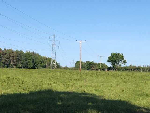
Scots' Dike Images

Images are sourced within 2km of 55.052/-3.01 or Grid Reference NY3573. Thanks to Geograph Open Source API. All images are credited.

Direction Sign – Signpost at Sarkhall, Kirkandrews Located on the south side of the T junction at Sarkhall in Kirkandrews parish. 3 arms and annulus finial. 

Milestone Society National ID: CU_NY3471
Direction Sign – Signpost at Sarkhall, Kirkandrews
Located on the south side of the T junction at Sarkhall in Kirkandrews parish. 3 arms and annulus finial. Milestone Society National ID: CU_NY3471
Direction Sign – Signpost north of Sarkhall, Kirkandrews Located on the north side of the Y junction north of Sarkhall in Kirkandrews parish. 3 arms and pawn finial. See also <a title="https://www.geograph.org.uk/photo/892194" href="https://www.geograph.org.uk/photo/892194">Link</a> and <a title="https://www.geograph.org.uk/photo/340454" href="https://www.geograph.org.uk/photo/340454">Link</a>.

Milestone Society National ID: CU_NY3472
Direction Sign – Signpost north of Sarkhall, Kirkandrews
Located on the north side of the Y junction north of Sarkhall in Kirkandrews parish. 3 arms and pawn finial. See also Link and Link. Milestone Society National ID: CU_NY3472
Pasture, Drownedcow Moss Solway carse land.
Pasture, Drownedcow Moss
Solway carse land.
Signpost near Sarkhall
Daffiestone There are notices everywhere asking if you are a local landowner and to get in touch with some body or contractor. Work pending on the powerline presumably.
Daffiestone
There are notices everywhere asking if you are a local landowner and to get in touch with some body or contractor. Work pending on the powerline presumably.
Fieldedge view at Almonside Triangulation Pillar Looking northward towards Woodhouselees Plantation.
Fieldedge view at Almonside Triangulation Pillar
Looking northward towards Woodhouselees Plantation.
Minor road passing through Glenzierfoot Looking south-westward.
Minor road passing through Glenzierfoot
Looking south-westward.
Minor road between Greenbraehead and Fauldie Looking north-westward.
Minor road between Greenbraehead and Fauldie
Looking north-westward.
Minor road near Fauldie Looking north-westward.
Minor road near Fauldie
Looking north-westward.
Stubble field and Scotsdike Plantation The border between England and Scotland runs through the middle of this long plantation.
Stubble field and Scotsdike Plantation
The border between England and Scotland runs through the middle of this long plantation.
Flat fields and fence near Edwardstown
Cubbyhill Cottages Not fit for habitation!
Cubbyhill Cottages
Not fit for habitation!
Roadway to Cubbyhill
View towards The Beck from Campers' Corner
Gate and hedge, Cubbyhill
The Chestnuts, Cubbyhill
Farm track at Cubbyhill
Field edge by Cubbyhill Cottages
Show me another place!

Scots' Dike is located at Grid Ref: NY3573 (Lat: 55.052, Lng: -3.01)

Administrative County: Cumbria

Police Authority: Cumbria

What 3 Words

///voucher.found.umbrellas. Near Longtown, Cumbria

Nearby Locations

Scots' Dike

Related Wikis

Glenzier

Glenzier (; see yogh for the unintuitive spelling) is a rural area in Dumfries and Galloway, Scotland. == See also == Scots dike and the Glenzier burn...

Kirkandrews-on-Esk

Kirkandrews (also known as Kirkandrews-on-Esk distinguishing it from Kirkandrews-on-Eden), is a civil parish in City of Carlisle district, Cumbria, England...

Scotch Dyke railway station

Scotch Dyke railway station was a railway station in Cumberland close to the Scots' Dike, the traditional border with Scotland. == History == The station...

Timpanheck

Timpanheck is a village in Annandale, Scottish Borders. == External links == Timpanheck in The Gazetteer for Scotland Geograph.org.uk

Nearby Amenities

Located within 500m of 55.052,-3.01
Scots Dike
Place: locality
Source: local_knowledge
Lat/Long: 55.0541643/-3.0143732
The data included in this document is from www.openstreetmap.org. The data is made available under ODbL.

Have you been to Scots' Dike?

Leave your review of Scots' Dike below (or comments, questions and feedback).