Saith-maen
Heritage Site in Brecknockshire
Wales
Saith-maen

Saith-maen, located in Brecknockshire, Wales, is a heritage site consisting of seven standing stones arranged in a circular formation. The stones are believed to date back to the Bronze Age, making them around 4,000 years old.
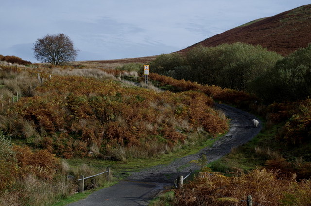
The site is located in a picturesque and remote area, surrounded by rolling hills and lush greenery, adding to its mystique and historical significance. The stones vary in height, with the tallest standing at around 2.5 meters, and each stone is made of local sandstone.
Saith-maen is thought to have been used for ritual or ceremonial purposes by the ancient inhabitants of the area, possibly as a sacred site or a place for gathering and worship. The alignment of the stones may have also had astronomical significance, marking important celestial events such as solstices or equinoxes.
Today, Saith-maen is a protected heritage site, allowing visitors to explore and appreciate the ancient history and cultural significance of the standing stones. It is a popular destination for archaeology enthusiasts, history buffs, and those interested in exploring the rich heritage of Wales.
If you have any feedback on the listing, please let us know in the comments section below.
Saith-maen Images
Images are sourced within 2km of 52.232/-3.545 or Grid Reference SN9460. Thanks to Geograph Open Source API. All images are credited.


Saith-maen is located at Grid Ref: SN9460 (Lat: 52.232, Lng: -3.545)
Unitary Authority: Powys
Police Authority: Dyfed Powys
What 3 Words
///tweezers.hikes.moss. Near Rhayader, Powys
Nearby Locations
Related Wikis

Caeau Cnwch a Ty'n-y-graig
Caeau Cnwch a Ty'n-y-graig is a Site of Special Scientific Interest in Brecknock, Powys, Wales. It occupies sloping ground on the south west side of Pen...
Carn Gafallt
Carn Gafallt is a Site of Special Scientific Interest in Breconshire, Powys, Wales, and a hill of 466 metres (1529 feet) which is a Marilyn. == See... ==
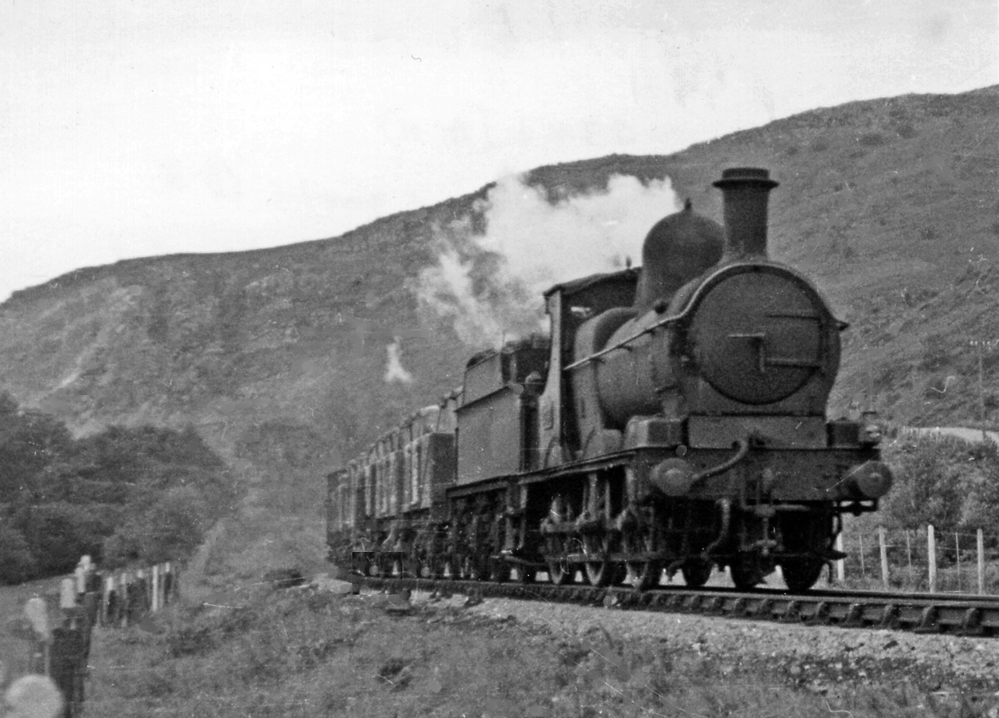
Doldowlod railway station
Doldowlod railway station stood on the Mid Wales Railway between Builth Wells and Rhayader. It was closed on 31 December 1962 and the track removed....

Elan Valley
The Elan Valley (Welsh: Cwm Elan) is a river valley situated to the west of Rhayader, in Powys, Wales, sometimes known as the "Welsh Lake District". It...
Have you been to Saith-maen?
Leave your review of Saith-maen below (or comments, questions and feedback).