Rush Barrow

Heritage Site in Devon Torridge

England

Rush Barrow

Forest track - Melbury Plantation
Forest track - Melbury Plantation Credit: Mr Ignavy

Rush Barrow is a historical site located in the county of Devon, England. It is a notable heritage site due to its archaeological significance and historical relevance. The barrow is situated near the village of Rushford, within the Blackdown Hills Area of Outstanding Natural Beauty.

Dating back to the Bronze Age, Rush Barrow is an ancient burial mound constructed around 4,000 years ago. It is believed to have been used as a communal burial site for the local community, indicating the importance of ancestral worship during that period. The barrow is circular in shape and measures approximately 25 meters in diameter, with a height of around 3 meters.

The site has undergone various excavations over the years, which have revealed several interesting artifacts and remains. Archaeologists have uncovered cremated human remains, pottery fragments, and other objects associated with burial rituals. These findings provide valuable insights into the burial practices and social structures of the Bronze Age inhabitants of the region.

Rush Barrow, with its serene surroundings and captivating historical significance, attracts visitors interested in ancient history and archaeology. The site is well-preserved and offers a tranquil atmosphere, making it an ideal spot for those seeking a peaceful retreat. Additionally, its location within the picturesque Blackdown Hills adds to its allure, making it a popular destination for nature enthusiasts and history buffs alike.

Overall, Rush Barrow is a remarkable heritage site that offers a glimpse into the past, shedding light on the lives and customs of the Bronze Age inhabitants of Devon.

If you have any feedback on the listing, please let us know in the comments section below.

Rush Barrow Images

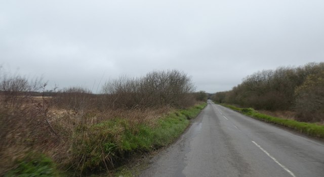
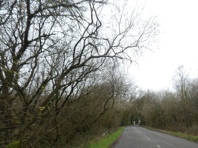
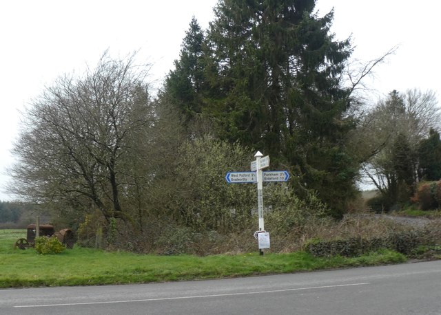
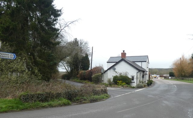
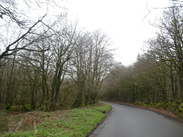
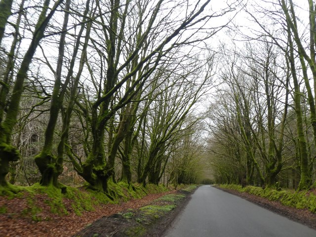
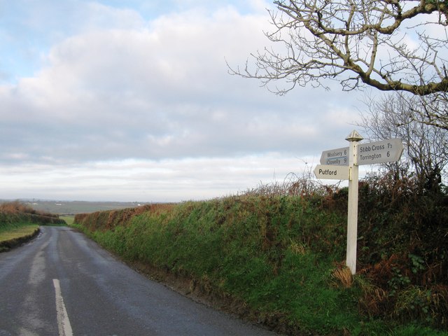
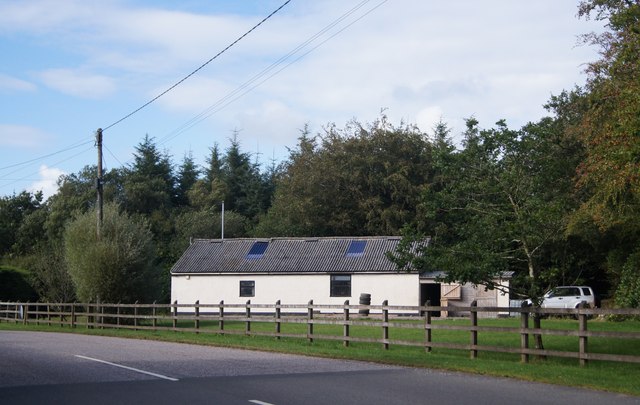
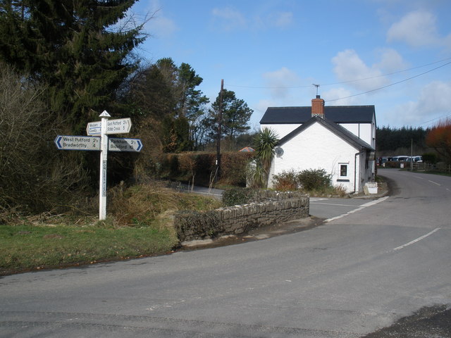
Images are sourced within 2km of 50.933/-4.313 or Grid Reference SS3717. Thanks to Geograph Open Source API. All images are credited.

Forest track - Melbury Plantation
Bungalows at Little Collingsdown The large apron by the nearer bungalow allows access to a haulage business whose facilities are behind
Bungalows at Little Collingsdown
The large apron by the nearer bungalow allows access to a haulage business whose facilities are behind
Hedgebank and hedge near Wrangworthy Cross The crossroads is on the bend in the road
Hedgebank and hedge near Wrangworthy Cross
The crossroads is on the bend in the road
Straight road south across Common Moor
Straight road across Common Moor Long straight sections of road are a common feature in this area of reclaimed moorland
Straight road across Common Moor
Long straight sections of road are a common feature in this area of reclaimed moorland
Road across Common Moor approaching Powler's Piece
Signpost and rusty tractor at Powler's Piece crossroads
Bridge and house at Powler's Piece crossroads A small stream flows under the road here; the low parapet is a slight barrier between traffic and the water
Bridge and house at Powler's Piece crossroads
A small stream flows under the road here; the low parapet is a slight barrier between traffic and the water
Narracott Plantation
Wide verge to the road in Narracott Plantation The road is bounded by old hedgebanks, but the decision has been made to surface only part of the width between them
Wide verge to the road in Narracott Plantation
The road is bounded by old hedgebanks, but the decision has been made to surface only part of the width between them
Old Toll House by Powler's Piece Crossroads, Putford Toll House in the parish of East Putford (Torridge District), Tollgate Cottage, Powler's Piece Crossroads, Putford, EX22 7XW.

Devon & Dartmoor HER.
HER Number: MDV11647 <span class="nowrap"><a title="https://www.heritagegateway.org.uk/Gateway/Results_Single.aspx?uid=MDV11647&resourceID=104" rel="nofollow ugc noopener" href="https://www.heritagegateway.org.uk/Gateway/Results_Single.aspx?uid=MDV11647&resourceID=104">Link</a><img style="margin-left:2px;" alt="External link" title="External link - shift click to open in new window" src="https://s1.geograph.org.uk/img/external.png" width="10" height="10"/></span>

Surveyed

Milestone Society National ID: DV.EAS
Old Toll House by Powler's Piece Crossroads, Putford
Toll House in the parish of East Putford (Torridge District), Tollgate Cottage, Powler's Piece Crossroads, Putford, EX22 7XW. Devon & Dartmoor HER. HER Number: MDV11647 LinkExternal link Surveyed Milestone Society National ID: DV.EAS
Turning for Putford
Turning for Putford
Wrangworthy Cross
Wrangworthy Cross
Common Moor, road junction
Powler's Piece, road junction
The road from Bulkworthy to West Putford Near Mambury.
The road from Bulkworthy to West Putford
Near Mambury.
Field near Stowford
Field near Stowford
Outbuilding - Powler's Piece
Show me another place!

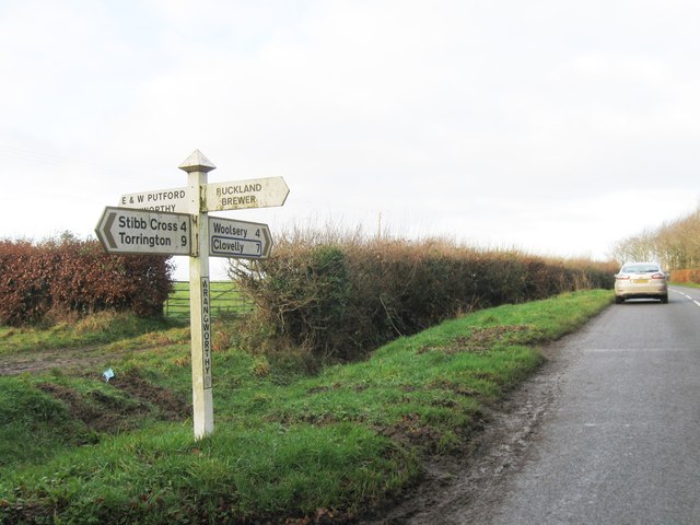
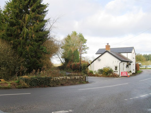
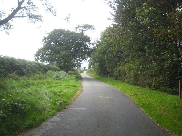
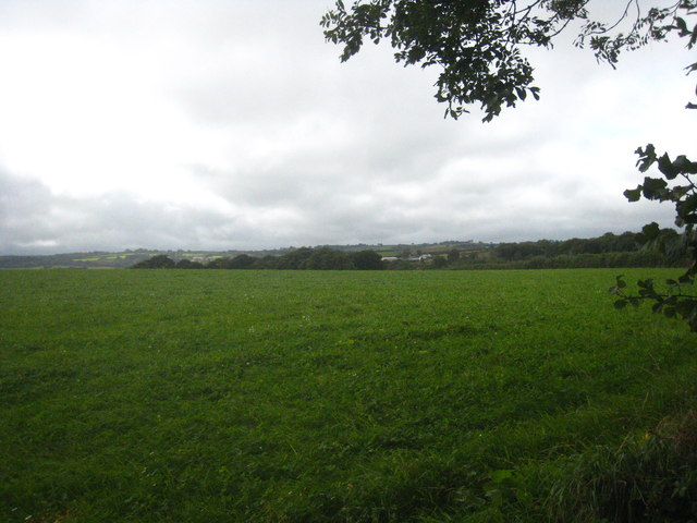
Rush Barrow is located at Grid Ref: SS3717 (Lat: 50.933, Lng: -4.313)

Administrative County: Devon

District: Torridge

Police Authority: Devon and Cornwall

What 3 Words

///much.poets.jingles. Near Bideford, Devon

Nearby Locations

Common Moor Rush Barrow

Related Wikis

East Putford

East Putford is a small settlement and civil parish in the local government district of Torridge, Devon, England. The parish, which lies about halfway...

West Putford

West Putford is a small settlement and civil parish in the local government district of Torridge, Devon, England. The parish, which lies about 8.5 miles...

Gnome Reserve

The Gnome Reserve is a garden and tourist attraction in West Putford, near Bradworthy, Devon, England, presented as a pastoral refuge for garden gnomes...

Bocombe

Bocombe is a village in Devon, England.

Nearby Amenities

Located within 500m of 50.933,-4.313
Common Moor Cottage
Building: yes
Lat/Long: 50.9343497/-4.3178144
Saxworthy
Place: isolated_dwelling
Lat/Long: 50.9296329/-4.3166287
Addr Housename: Cudjamoor
Lat/Long: 50.9321699/-4.3082002
Direction: SSE
Generator Method: photovoltaic
Generator Output Electricity: yes
Generator Solar Modules: 32
Generator Source: solar
Generator Type: solar_photovoltaic_panel
Location: roof
Power: generator
Lat/Long: 50.9322053/-4.3077792
The data included in this document is from www.openstreetmap.org. The data is made available under ODbL.

Have you been to Rush Barrow?

Leave your review of Rush Barrow below (or comments, questions and feedback).