Rothamsted

Heritage Site in Hertfordshire St. Albans

England

Rothamsted

Topstreet Way c.1930s housing.
Topstreet Way Credit: Ian Capper

Rothamsted, located in Hertfordshire, England, is a famous heritage site that holds significant historical and scientific value. Established in 1843, Rothamsted is renowned for its long-standing agricultural research and its contribution to the development of modern farming practices.

Covering an area of approximately 4,000 acres, Rothamsted is home to the oldest ongoing agricultural research station in the world. Over the years, numerous experiments have been conducted on the site, focusing on various aspects of farming, including soil health, crop rotation, and pest control. The station's research has played a crucial role in advancing agricultural techniques and improving crop yields, making it a key contributor to the development of sustainable farming practices.

The centerpiece of Rothamsted is the iconic Rothamsted Manor, a Grade I listed building that dates back to the 13th century. This stunning manor house has witnessed centuries of history and is a testament to the area's rich heritage. The manor is surrounded by beautifully landscaped gardens and parkland, providing a tranquil setting for visitors to explore and enjoy.

Today, Rothamsted is not only a research facility but also a popular tourist destination. The site offers guided tours, allowing visitors to learn about the station's pioneering research and its impact on modern agriculture. Additionally, Rothamsted hosts various events and exhibitions, providing a platform for the public to engage with the latest developments in agricultural science.

Overall, Rothamsted, Hertfordshire, stands as a significant heritage site that showcases the intersection of history, science, and agriculture. Its contributions to agricultural research and sustainable farming practices make it a vital institution in the pursuit of global food security.

If you have any feedback on the listing, please let us know in the comments section below.
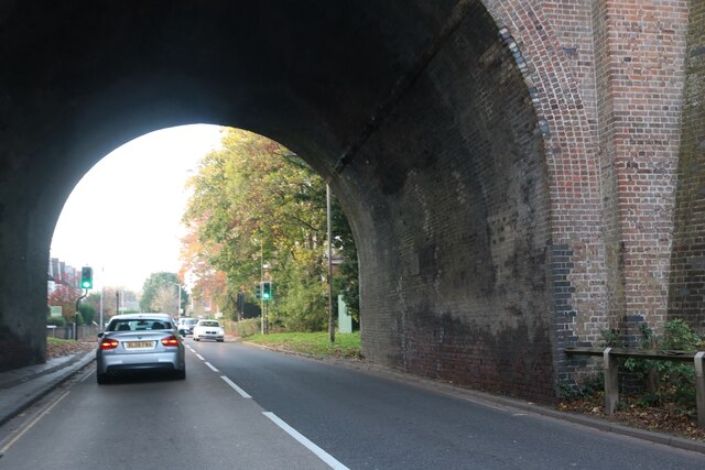
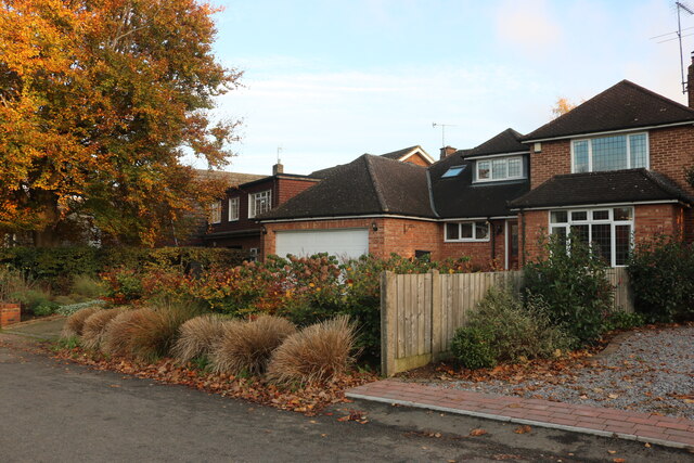
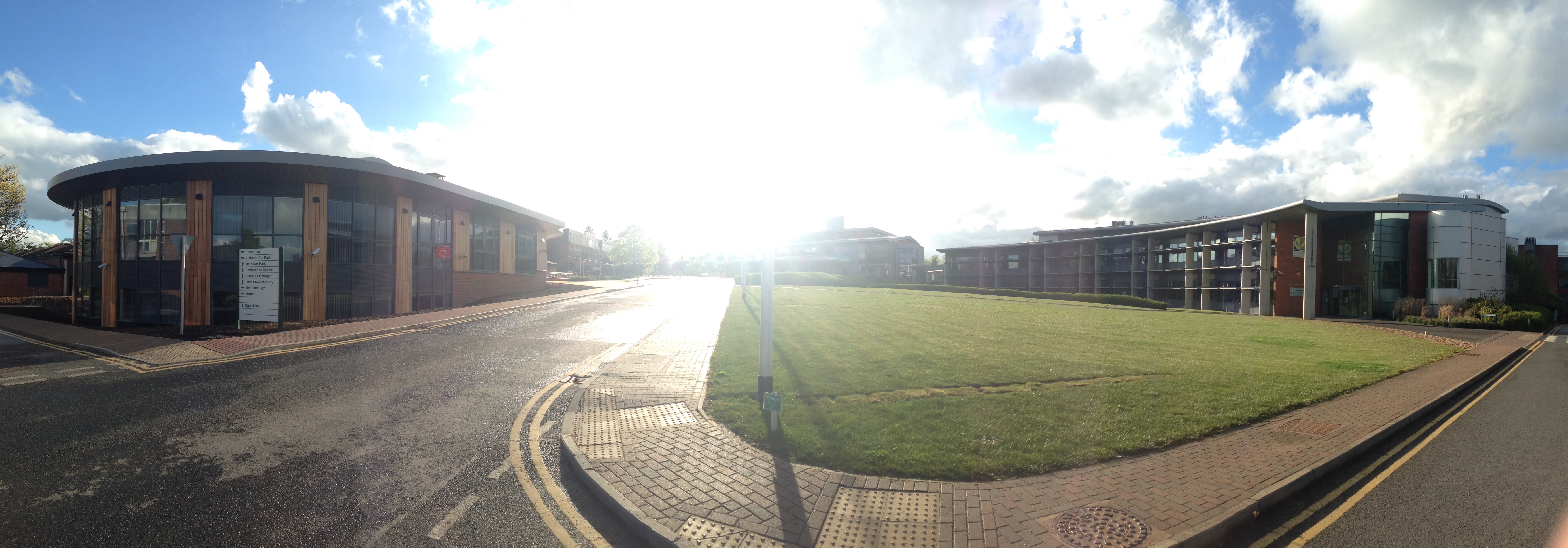
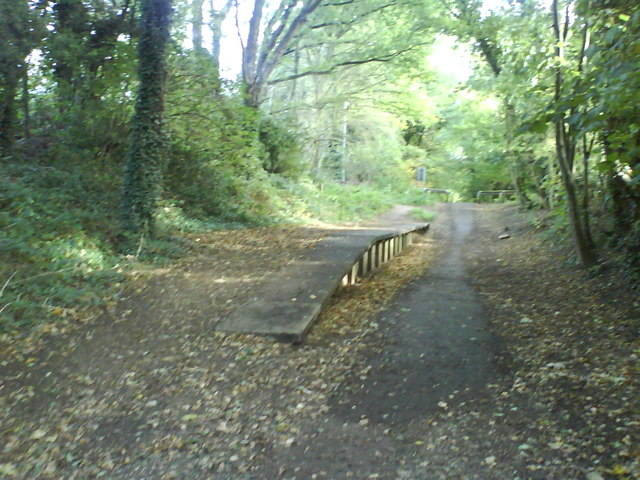
Rothamsted Images

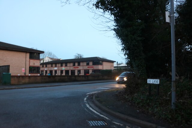
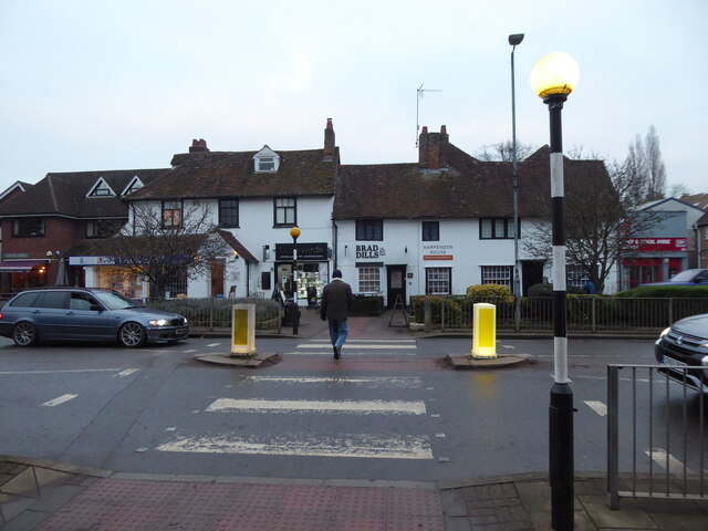
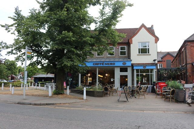
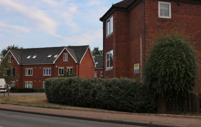
Images are sourced within 2km of 51.808/-0.368 or Grid Reference TL1213. Thanks to Geograph Open Source API. All images are credited.

Topstreet Way c.1930s housing.
Topstreet Way
c.1930s housing.
Dalkeith Road c.1930s housing.
Dalkeith Road
c.1930s housing.
Connaught Road c.1930s housing.
Connaught Road
c.1930s housing.
House on Ox Lane, Harpenden
Coldharbour Lane at the end of Ox Lane
On Church Green in Harpenden Red Knitwear and The Wine Rack. High Street is the larger road adjacent.
On Church Green in Harpenden
Red Knitwear and The Wine Rack. High Street is the larger road adjacent.
The Old Cock Inn on Harpenden High Street The town is busy.
The Old Cock Inn on Harpenden High Street
The town is busy.
Kwik Fit on Harpenden High Street A female voice sings inside the workshop, either a team member or a really happy customer.
Kwik Fit on Harpenden High Street
A female voice sings inside the workshop, either a team member or a really happy customer.
Zebra crossing on Harpenden high street Opposite an estate agents, I think.
Zebra crossing on Harpenden high street
Opposite an estate agents, I think.
Map Stores on High Street, Harpenden When I spotted the shop sign, my pace quickened and so did my heart beat for as an ardent walker there is little I love more than a map shop. "Great!" I thought, "Now that's what I call a shop!" and anticipated browsing some maps and possibly purchasing a few much needed ones. But then much to my wife's amusement the shop turned out to be a very upmarket independent 'boutique' purveyor of some uber-desirable household items from ceramics, homewares, designer products and lifestyle must-haves for the most discerning aficionados and the elite cognoscenti of on-trend knick-knacks, cutting edge beverage containers, candles, planters and the like. My wife went in and of course I followed. Here was quite a few minutes I wasn't going to get back, but of course I have to accrue brownie points so that when, or if, the tables are turned I can browse, ponder and weigh up products and items that I LIKE.

I have to say that every single item I saw in here was extremely buyable; I carefully fitted my hand around ceramic coffee beakers, inhaled several exotic candle scents, admired very expensive looking 'objets' from brands from Copenhagen, India and worldwide which I had never heard of and all had that inscrutable, unattainable aura, that fleeting, never to be experienced allure exuded by high class international hostesses, Swiss bankers and super-yacht brokers. 

Needless to say I left empty handed. I already own too much clutter, too many beverage containers and would be too scared to actually use such designer items anyway. 

Maps I do need though.
Map Stores on High Street, Harpenden
When I spotted the shop sign, my pace quickened and so did my heart beat for as an ardent walker there is little I love more than a map shop. "Great!" I thought, "Now that's what I call a shop!" and anticipated browsing some maps and possibly purchasing a few much needed ones. But then much to my wife's amusement the shop turned out to be a very upmarket independent 'boutique' purveyor of some uber-desirable household items from ceramics, homewares, designer products and lifestyle must-haves for the most discerning aficionados and the elite cognoscenti of on-trend knick-knacks, cutting edge beverage containers, candles, planters and the like. My wife went in and of course I followed. Here was quite a few minutes I wasn't going to get back, but of course I have to accrue brownie points so that when, or if, the tables are turned I can browse, ponder and weigh up products and items that I LIKE. I have to say that every single item I saw in here was extremely buyable; I carefully fitted my hand around ceramic coffee beakers, inhaled several exotic candle scents, admired very expensive looking 'objets' from brands from Copenhagen, India and worldwide which I had never heard of and all had that inscrutable, unattainable aura, that fleeting, never to be experienced allure exuded by high class international hostesses, Swiss bankers and super-yacht brokers. Needless to say I left empty handed. I already own too much clutter, too many beverage containers and would be too scared to actually use such designer items anyway. Maps I do need though.
On Station Road in Harpenden Obviously a main street in this interesting town.
On Station Road in Harpenden
Obviously a main street in this interesting town.
The war memorial in Harpenden At the going down of the sun and in the morning we will remember them.
The war memorial in Harpenden
At the going down of the sun and in the morning we will remember them.
Caffe Nero on Harpenden High Street
Retirement flats on Luton Road, Harpenden Here is an earlier view. <a title="https://www.geograph.org.uk/photo/6624946" href="https://www.geograph.org.uk/photo/6624946">Link</a>
Retirement flats on Luton Road, Harpenden
Here is an earlier view. Link
Bridge under the Nickey Line on Luton Road, Harpenden The path used to carry a railway between Hemel Hempstead and Harpenden. <span class="nowrap"><a title="https://www.dacorum.gov.uk/home/environment-street-care/landscape-recreation/nicky-line" rel="nofollow ugc noopener" href="https://www.dacorum.gov.uk/home/environment-street-care/landscape-recreation/nicky-line">Link</a><img style="margin-left:2px;" alt="External link" title="External link - shift click to open in new window" src="https://s1.geograph.org.uk/img/external.png" width="10" height="10"/></span>
Bridge under the Nickey Line on Luton Road, Harpenden
The path used to carry a railway between Hemel Hempstead and Harpenden. LinkExternal link
Kia Motors on Luton Road, Harpenden
Luton Lane looking towards Kinsbourne Green Lane
Houses on Roundwood Lane, Harpenden
Show me another place!

Rothamsted is located at Grid Ref: TL1213 (Lat: 51.808, Lng: -0.368)

Administrative County: Hertfordshire

District: St. Albans

Police Authority: Hertfordshire

What 3 Words

///grades.latest.life. Near Harpenden, Hertfordshire

Related Wikis

Rothamsted Manor

Rothamsted Manor is a former manor and current manor house, situated in Harpenden Rural in the English county of Hertfordshire. A Grade I listed building...

Rothamsted Park

Rothamsted Park is a 56-acre (230,000 m2) public park in Harpenden, Hertfordshire. == History == The park was formerly part of the Manor of Rothamsted...

Harpenden RFC

Harpenden Rugby Football Club is a rugby club based in Harpenden. They play in Regional 1 South East - a league at tier 5 of the English rugby union system...

Harpenden Town F.C.

Harpenden Town Football Club is a football club based in Harpenden, Hertfordshire, England. They are currently members of the Spartan South Midlands League...

Rothamsted Research

Rothamsted Research, previously known as the Rothamsted Experimental Station and then the Institute of Arable Crops Research, is one of the oldest agricultural...

St Nicholas Church, Harpenden

The church of St Nicholas in Harpenden is a parish church in the Church of England. It is a Grade II* listed building. == Background == It is the oldest...

Ahm House

The Ahm House at 44 West Common Way is a house in Harpenden in Hertfordshire, England. It was built between 1961 and 1963 by the structural engineer Povl...

Roundwood Halt railway station

Roundwood Halt railway station co-served the town of Harpenden, Hertfordshire, England from 1927 to 1949 on the Nickey Line. == History == The station...

Nearby Amenities

Located within 500m of 51.808,-0.368
Barrier: kissing_gate
Lat/Long: 51.8055864/-0.3659179
Barrier: bollard
Lat/Long: 51.8089496/-0.3623919
Street Lamp
Lat/Long: 51.8057466/-0.3656163
Traffic Calming: bump
Lat/Long: 51.8075902/-0.3641055
Waste Basket
Waste: dog_excrement
Lat/Long: 51.8083461/-0.3633298
Bench
Material: wood
Lat/Long: 51.8080066/-0.3636709
Information: map
Map Size: site
Map Type: scheme
Tourism: information
Lat/Long: 51.805592/-0.3656941
Traffic Calming: bump
Lat/Long: 51.8055779/-0.3652678
Waste Basket
Waste: dog_excrement
Lat/Long: 51.8062859/-0.3652006
The data included in this document is from www.openstreetmap.org. The data is made available under ODbL.

Have you been to Rothamsted?

Leave your review of Rothamsted below (or comments, questions and feedback).