Risbury Camp

Heritage Site in Herefordshire

England

Risbury Camp

St Mary, Humber In a remote setting at the end of a winding lane. Early 14th century tower - the rest of around 1200 and all restored sensitively by T.H. Wyatt in 1878.
St Mary, Humber Credit: Philip Pankhurst

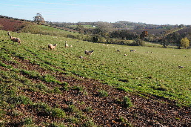
Risbury Camp is an ancient hill fort located in Herefordshire, England. It is believed to date back to the Iron Age, with evidence of occupation from the 4th century BC. The site is situated on Risbury Hill, overlooking the surrounding countryside and offering panoramic views of the Herefordshire landscape.

The hill fort is oval in shape, with a series of ramparts and ditches enclosing an area of approximately 5 acres. The fortification would have provided a strategic defensive position for its inhabitants, allowing them to survey and control movements in the surrounding area.

Excavations at Risbury Camp have uncovered evidence of Iron Age pottery, tools, and other artifacts, as well as evidence of later Roman occupation. The site is thought to have been abandoned by the end of the Roman period, but its strategic location and impressive earthworks have ensured its survival as an important archaeological and historical site.

Today, Risbury Camp is a designated Scheduled Ancient Monument and is open to the public for exploration and study. It offers visitors a glimpse into the Iron Age history of Herefordshire and a chance to appreciate the stunning views from its elevated position.

If you have any feedback on the listing, please let us know in the comments section below.
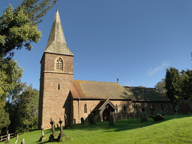
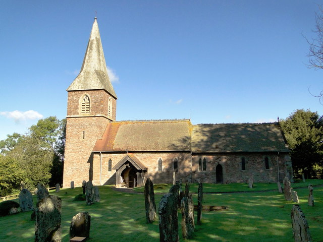
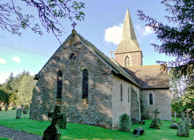
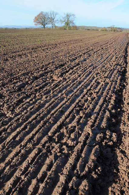
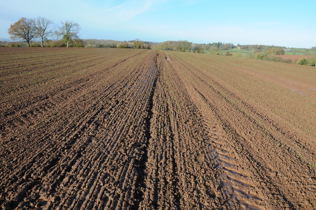
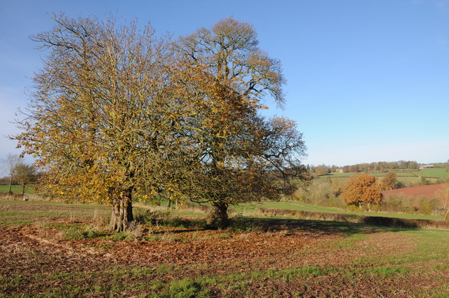
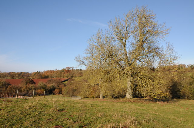
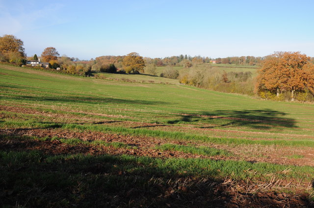
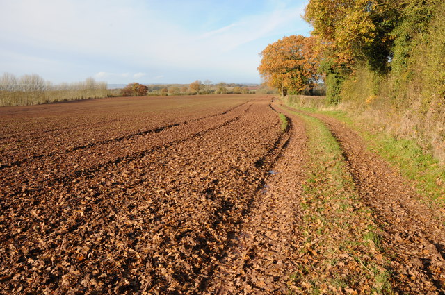
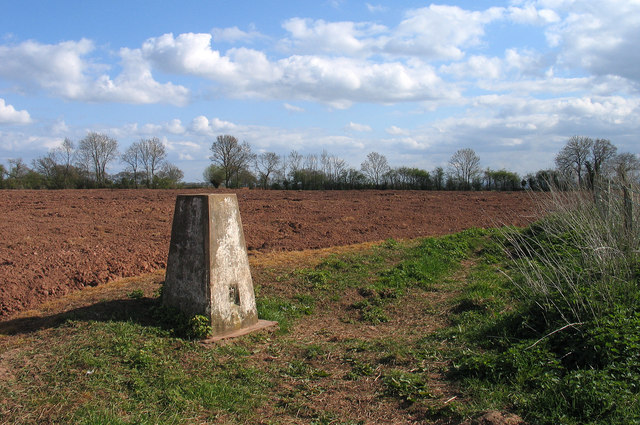
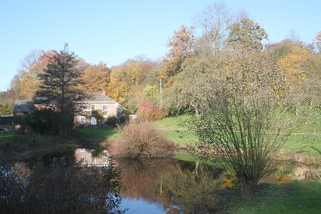
Risbury Camp Images

Images are sourced within 2km of 52.1938/-2.6725 or Grid Reference SO5455. Thanks to Geograph Open Source API. All images are credited.

St Mary, Humber In a remote setting at the end of a winding lane. Early 14th century tower - the rest of around 1200 and all restored sensitively by T.H. Wyatt in 1878.
St Mary, Humber
In a remote setting at the end of a winding lane. Early 14th century tower - the rest of around 1200 and all restored sensitively by T.H. Wyatt in 1878.
St Mary, Humber In a remote setting at the end of a winding lane. Early 14th century tower - the rest of around 1200 and all restored sensitively by T.H. Wyatt in 1878. The south side.
St Mary, Humber
In a remote setting at the end of a winding lane. Early 14th century tower - the rest of around 1200 and all restored sensitively by T.H. Wyatt in 1878. The south side.
St Mary, Humber In a remote setting at the end of a winding lane. Early 14th century tower - the rest of around 1200 and all restored sensitively by T.H. Wyatt in 1878. The east end.
St Mary, Humber
In a remote setting at the end of a winding lane. Early 14th century tower - the rest of around 1200 and all restored sensitively by T.H. Wyatt in 1878. The east end.
Sheep grazing above Holly Brook Holly Brook flows through this valley to the south of Docklow.
Sheep grazing above Holly Brook
Holly Brook flows through this valley to the south of Docklow.
Very wet ploughed field This arable field has recently been planted with a winter cereal but after so much rain the ground here has the consistency of wet concrete.
Very wet ploughed field
This arable field has recently been planted with a winter cereal but after so much rain the ground here has the consistency of wet concrete.
Footpath across a very wet ploughed field After a very wet summer and autumn there is little pleasure walking across a footpath such as this one.
Footpath across a very wet ploughed field
After a very wet summer and autumn there is little pleasure walking across a footpath such as this one.
Chestnut trees in a field Chestnut trees in an arable field near Risbury.
Chestnut trees in a field
Chestnut trees in an arable field near Risbury.
Ash trees Ash trees in farmland near Holly Brook to the east of Risbury.
Ash trees
Ash trees in farmland near Holly Brook to the east of Risbury.
Arable field above Holly Brook A footpath crosses this arable field above Holly Brook, the large Georgian house across the valley is Buckland.
Arable field above Holly Brook
A footpath crosses this arable field above Holly Brook, the large Georgian house across the valley is Buckland.
Headland footpath A footpath to Buckland follows this field headland track before crossing a very wet ploughed field
Headland footpath
A footpath to Buckland follows this field headland track before crossing a very wet ploughed field
Footpath to Buckland Headland footpath which then crosses the wet ploughed field.
Footpath to Buckland
Headland footpath which then crosses the wet ploughed field.
Field at New House Farm, with trig point The field lies to the east of New House Farm near to the small village of Risbury. The OS trig point is known to them by the name of the farm and has the flush bracket number S7963.
Field at New House Farm, with trig point
The field lies to the east of New House Farm near to the small village of Risbury. The OS trig point is known to them by the name of the farm and has the flush bracket number S7963.
Farmland north of Broadfield Court Much pasture in this corner of Herefordshire.
Farmland north of Broadfield Court
Much pasture in this corner of Herefordshire.
Old orchard at Upper House A shaft of sunlight lights the scene on this Christmas Eve.
These fine old trees are probably cider apples.
Old orchard at Upper House
A shaft of sunlight lights the scene on this Christmas Eve. These fine old trees are probably cider apples.
Cottage at Risbury Cross The lane west towards Stoke Prior.
Cottage at Risbury Cross
The lane west towards Stoke Prior.
Cottage by Risbury Bridge The road to Bodenham crosses the Humber Brook here.
Cottage by Risbury Bridge
The road to Bodenham crosses the Humber Brook here.
Green lane to Briarymere This bridleway appears to be regularly used by tractors.
Green lane to Briarymere
This bridleway appears to be regularly used by tractors.
Field edge, footpath, bridleway to Buckland Not much headland left for the walker or rider here.
Field edge, footpath, bridleway to Buckland
Not much headland left for the walker or rider here.
Show me another place!

Risbury Camp is located at Grid Ref: SO5455 (Lat: 52.1938, Lng: -2.6725)

Unitary Authority: County of Herefordshire

Police Authority: West Mercia

What 3 Words

///binders.convey.ecologist. Near Humber, Herefordshire

Nearby Locations

Risbury Risbury Camp

Related Wikis

Risbury

Risbury is a village in the civil parish of Humber in Herefordshire, England, and 4 miles (6 km) south-east of Leominster. There used to be a Methodist...

Humber, Herefordshire

Humber is a hamlet and civil parish in the county of Herefordshire, England, and is 10 miles (16 km) north from the city and county town of Hereford. The...

Blackwardine

Blackwardine is a village in Herefordshire, England (at grid reference SO529564), in the parish of Ford and Stoke Prior.It is the site of a Romano-British...

Ford and Stoke Prior

Ford and Stoke Prior is a civil parish in the county of Herefordshire, England, and is 10 miles (16 km) north from the city and county town of Hereford...

Have you been to Risbury Camp?

Leave your review of Risbury Camp below (or comments, questions and feedback).