Ranbury Ring
Heritage Site in Gloucestershire
England
Ranbury Ring

Ranbury Ring, located in Gloucestershire, England, is an ancient heritage site of great historical and archaeological significance. This Iron Age hillfort is situated atop a prominent hill, offering commanding views of the surrounding countryside.
The site, believed to have been constructed around 500 BC, consists of a series of defensive earthworks and ramparts, enclosing an area of approximately 3 hectares. The ramparts, which were once topped with wooden palisades, are still visible today, though somewhat eroded by the passage of time.
Excavations at Ranbury Ring have unearthed numerous artifacts, including pottery, bone tools, and remnants of Iron Age dwellings. These findings provide valuable insights into the daily lives and cultural practices of the people who inhabited the hillfort.
The strategic location of Ranbury Ring suggests that it served as a defensive stronghold, protecting its inhabitants from potential threats. It is believed that the site may have also functioned as a regional center for trade and social gatherings, as evidenced by the discovery of imported goods and evidence of communal activities.
Today, Ranbury Ring is a popular destination for visitors interested in exploring its rich history. The site is managed by the local heritage organization and offers guided tours, educational programs, and interpretation boards to enhance visitors' understanding of its significance. The tranquil surroundings and panoramic views make it an ideal spot for picnics and leisurely walks, attracting both locals and tourists alike. Ranbury Ring stands as a tangible link to the past, providing a glimpse into the lives of our ancestors and preserving a piece of Gloucestershire's ancient heritage.
If you have any feedback on the listing, please let us know in the comments section below.
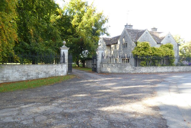
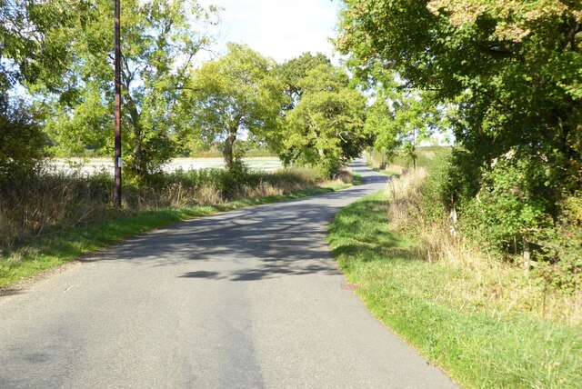
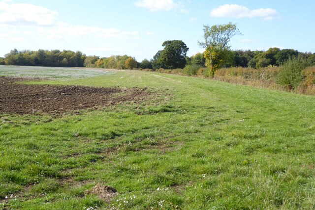
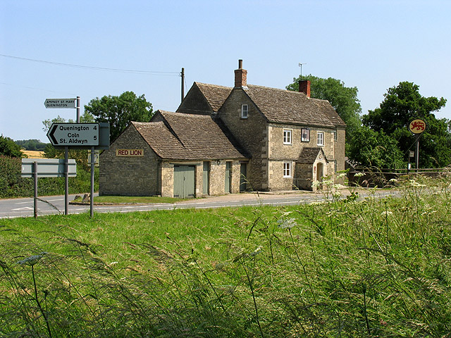
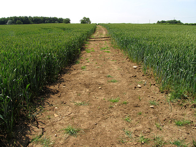
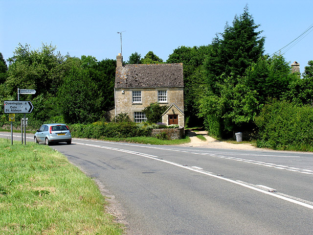
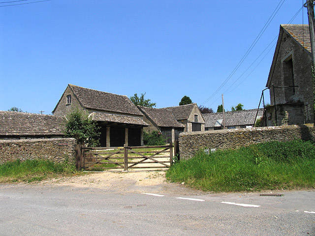
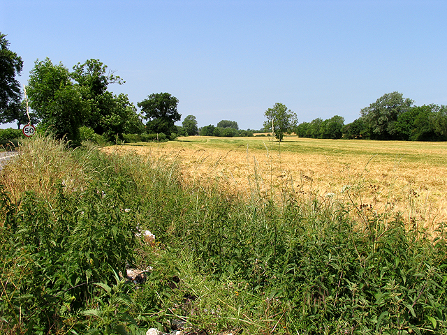
Ranbury Ring Images
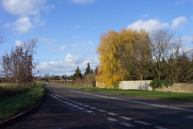
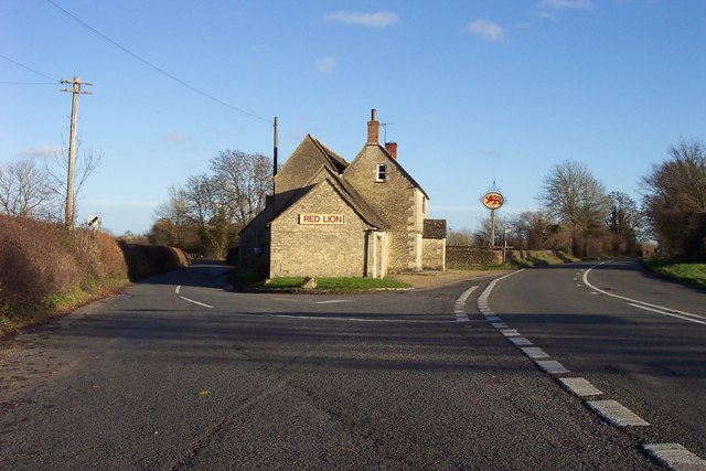
Images are sourced within 2km of 51.703/-1.863 or Grid Reference SP0900. Thanks to Geograph Open Source API. All images are credited.


Ranbury Ring is located at Grid Ref: SP0900 (Lat: 51.703, Lng: -1.863)
What 3 Words
///torched.playroom.heartened. Near Fairford, Gloucestershire
Nearby Locations
Related Wikis

Poulton Priory
Poulton Priory or the Priory of St Mary was a Gilbertine priory in Poulton, Gloucestershire, England. It was founded as a chantry chapel in 1337 by Sir...

Poulton, Gloucestershire
Poulton is a village and civil parish in the English county of Gloucestershire, approximately 24 miles (39 km) to the south-east of Gloucester. It lies...
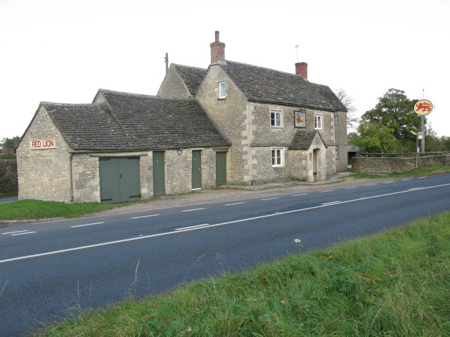
Red Lion, Ampney St Peter
The Red Lion is a Grade II listed pub at Ampney St Peter, Gloucestershire, GL7 5SL.It is on the Campaign for Real Ale's National Inventory of Historic...
Ampney St Mary
Ampney St Mary is a small village and civil parish in the Cotswolds, part of the Cotswold District of Gloucestershire, England. According to the 2001 census...
Nearby Amenities
Located within 500m of 51.703,-1.863Have you been to Ranbury Ring?
Leave your review of Ranbury Ring below (or comments, questions and feedback).