Middleton
Settlement in Shropshire
England
Middleton

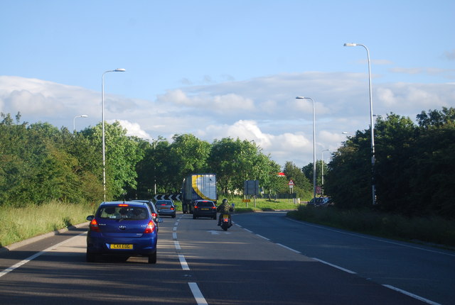
Middleton is a small village located in the county of Shropshire, England. Situated approximately 6 miles south of the market town of Shrewsbury, Middleton is nestled in a picturesque countryside setting, surrounded by rolling hills and farmland.
The village itself is home to a close-knit community, boasting a population of around 500 residents. The architecture in Middleton is predominantly traditional, with charming cottages and houses built from local stone, giving the village a quintessentially English feel.
Despite its small size, Middleton offers a range of amenities to its residents. The village has a primary school, providing education for children aged 4 to 11. Additionally, there is a village hall that serves as a hub for community events and gatherings. The local pub, The Middleton Arms, is a popular spot for both residents and visitors to enjoy a drink and a meal.
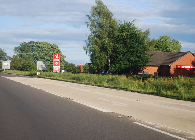
For outdoor enthusiasts, Middleton is surrounded by beautiful countryside, offering plenty of opportunities for walking, hiking, and exploring nature. The nearby Shropshire Hills Area of Outstanding Natural Beauty provides stunning vistas and a variety of recreational activities, including cycling and horse riding.
Transportation in Middleton is primarily reliant on private vehicles, as public transport options are limited. However, the village is well-connected to the wider region via the A49 road, which runs through the neighboring village of Bayston Hill.
Overall, Middleton offers a peaceful and idyllic lifestyle, perfect for those seeking a tranquil rural community within close proximity to larger towns and cities.
If you have any feedback on the listing, please let us know in the comments section below.
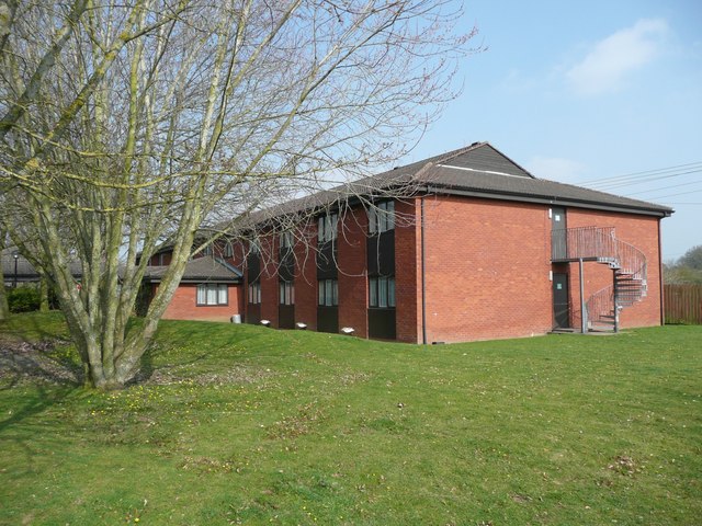
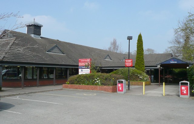
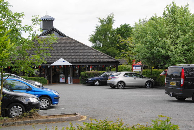
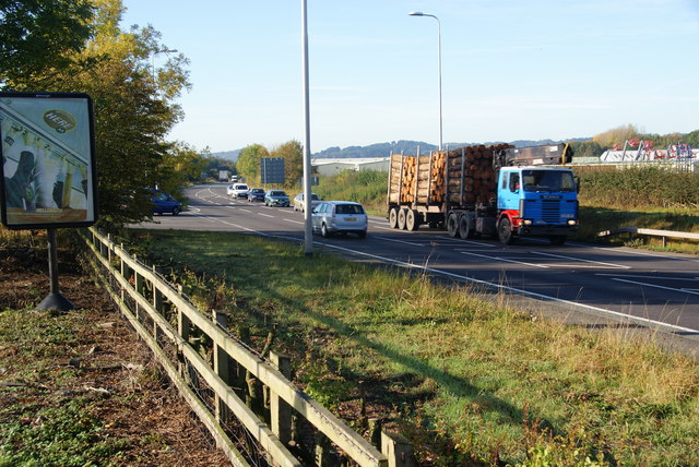
Middleton Images
Images are sourced within 2km of 52.853354/-3.0134188 or Grid Reference SJ3128. Thanks to Geograph Open Source API. All images are credited.


Middleton is located at Grid Ref: SJ3128 (Lat: 52.853354, Lng: -3.0134188)
Unitary Authority: Shropshire
Police Authority: West Merica
What 3 Words
///dared.foot.erase. Near Whittington, Shropshire
Nearby Locations
Related Wikis

North Shropshire College
North Shropshire College is a further education college in Shropshire, England and is part of Herefordshire, Ludlow and North Shropshire College. It has...
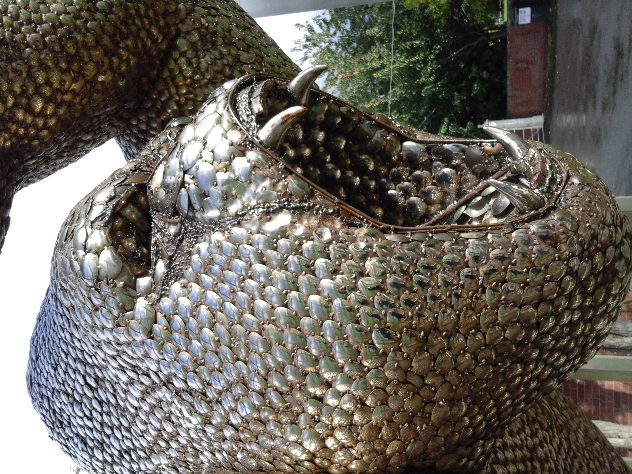
British Ironworks Centre & Shropshire Sculpture Park
The British Ironworks Centre & Shropshire Sculpture Park is a forge, silversmiths and sculpture park with a large showroom near Oswestry in Shropshire...
Tinkers Green Halt railway station
Tinkers Green Halt railway station was a station in Oswestry, Shropshire, England. The station was opened on 16 October 1939 and closed on 18 January 1965...
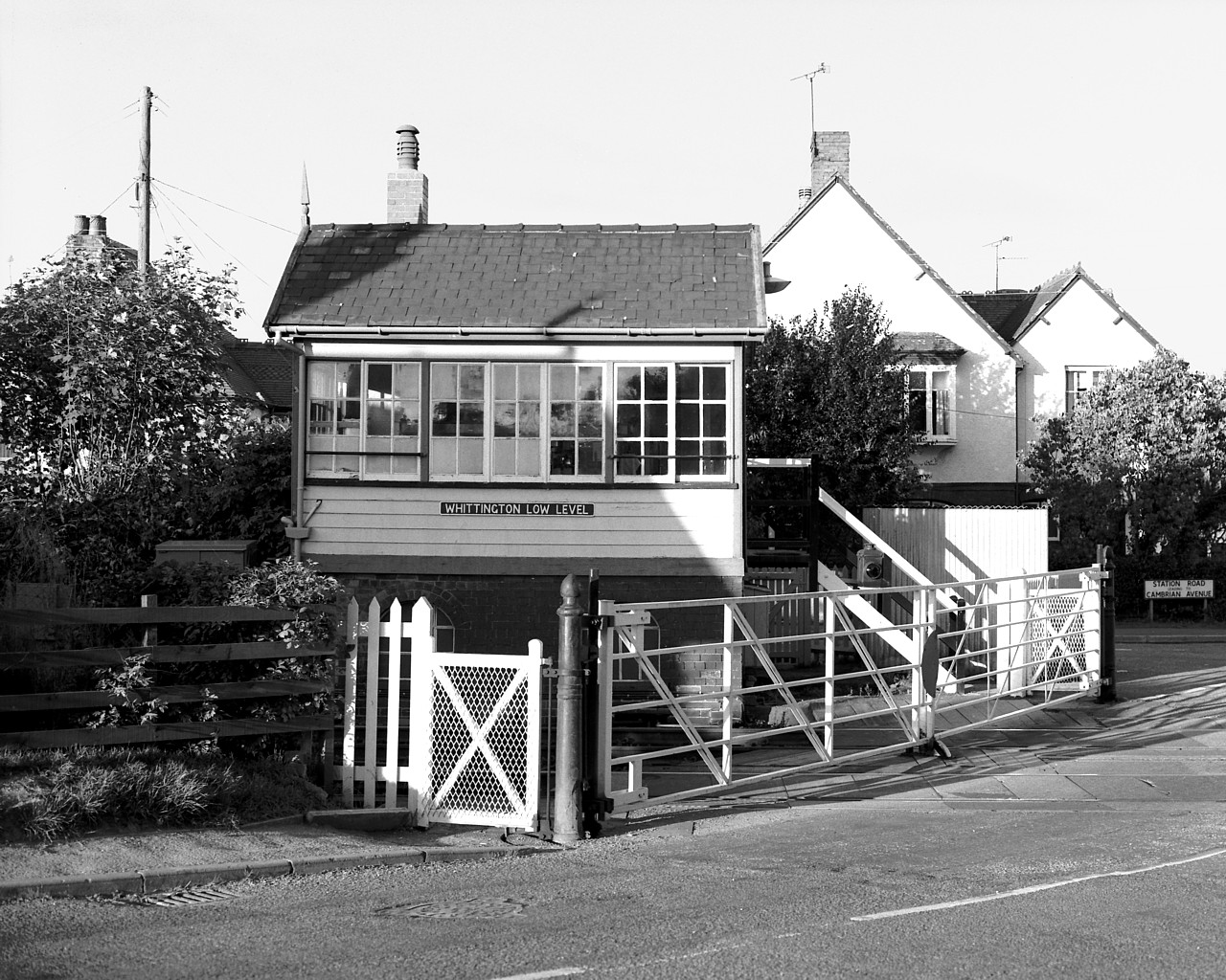
Whittington Low Level railway station
Whittington Low Level railway station is a disused station and was one of two former railway stations in the village of Whittington, Shropshire, England...
Nearby Amenities
Located within 500m of 52.853354,-3.0134188Have you been to Middleton?
Leave your review of Middleton below (or comments, questions and feedback).