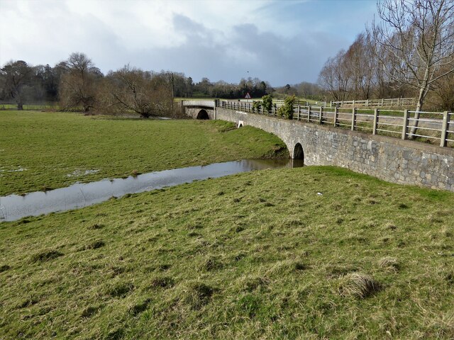
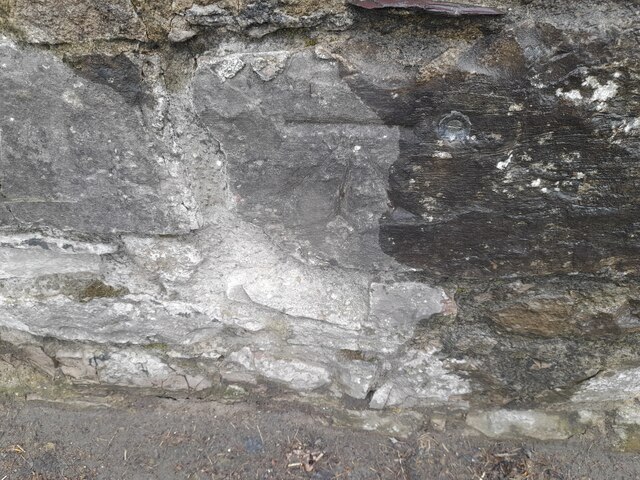
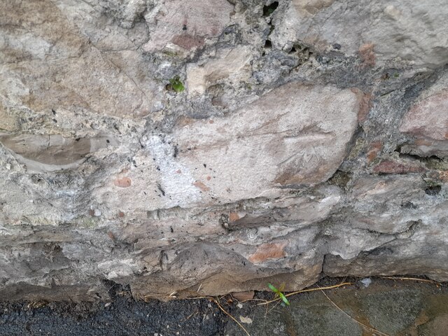
Pont Dafydd

Heritage Site in Flintshire

Wales

Pont Dafydd

Mini-roundabout, St Asaph This roundabout links the A525/ B5381 and St Asaph Bridge.
Mini-roundabout, St Asaph Credit: David Bremner

The requested URL returned error: 429 Too Many Requests

If you have any feedback on the listing, please let us know in the comments section below.
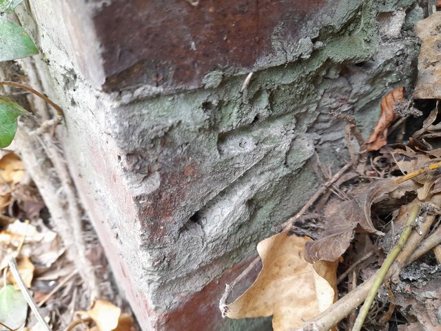
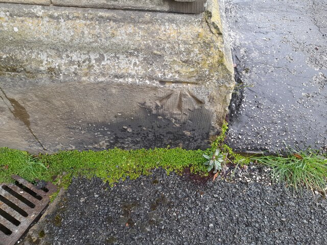
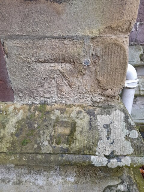
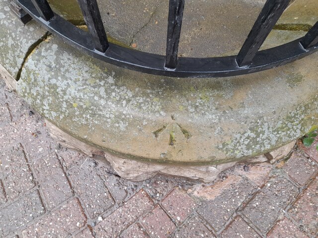
Pont Dafydd Images

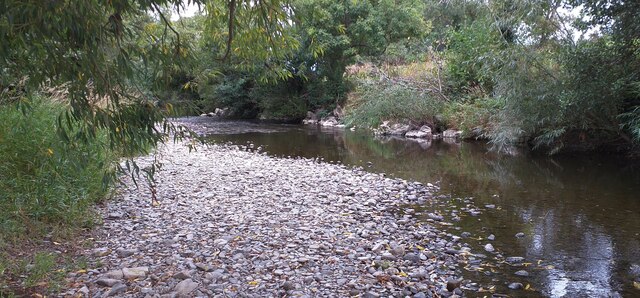
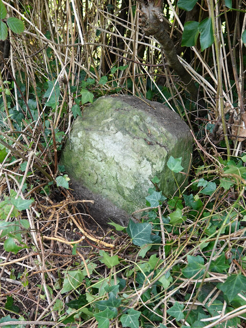
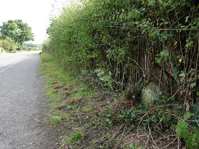
Images are sourced within 2km of 53.258/-3.432 or Grid Reference SJ0474. Thanks to Geograph Open Source API. All images are credited.

Mini-roundabout, St Asaph This roundabout links the A525/ B5381 and St Asaph Bridge.
Mini-roundabout, St Asaph
This roundabout links the A525/ B5381 and St Asaph Bridge.
The River Elwy The River Elwy near St Asaph.
The River Elwy
The River Elwy near St Asaph.
Milestone by the B5381, Lower Denbigh Road, St Asaph This milestone is on the west side of the B5381, south of St Asaph and fairly well hidden in the hedge. There's no inscription visible so it may be buried or the stone may be broken. For a wider view see <a href="https://www.geograph.org.uk/photo/7292681">SJ0373 : The B5381, Lower Denbigh Road and a milestone</a>

Inscription once read:
(Rhuddlan 3)
(Denbigh 5)
Milestone by the B5381, Lower Denbigh Road, St Asaph
This milestone is on the west side of the B5381, south of St Asaph and fairly well hidden in the hedge. There's no inscription visible so it may be buried or the stone may be broken. For a wider view see SJ0373 : The B5381, Lower Denbigh Road and a milestone Inscription once read: (Rhuddlan 3) (Denbigh 5)
The B5381, Lower Denbigh Road and a milestone The milestone is on the west side of the B5381, south of St Asaph.
See also: <a href="https://www.geograph.org.uk/photo/7292669">SJ0373 : Milestone by the B5381, Lower Denbigh Road, St Asaph</a>
The B5381, Lower Denbigh Road and a milestone
The milestone is on the west side of the B5381, south of St Asaph. See also: SJ0373 : Milestone by the B5381, Lower Denbigh Road, St Asaph
Gemig Street A quiet lane off the High Street
Gemig Street
A quiet lane off the High Street
Pont Dafydd A road bridge and culverted embankment across the flood plain of Afon Clwyd
Pont Dafydd
A road bridge and culverted embankment across the flood plain of Afon Clwyd
Ordnance Survey 1GL Bolt This OS bolt can be found on the south parapet of St Asaph Bridge. It marks a point 18.706m above mean sea level.
Ordnance Survey 1GL Bolt
This OS bolt can be found on the south parapet of St Asaph Bridge. It marks a point 18.706m above mean sea level.
Ordnance Survey Cut Mark This OS cut mark can be found on the wall at the north end of Luke Street. It marks a point 16.709m above mean sea level.
Ordnance Survey Cut Mark
This OS cut mark can be found on the wall at the north end of Luke Street. It marks a point 16.709m above mean sea level.
Ordnance Survey Cut Mark This OS cut mark can be found on Bryn-Isa, Red Hill.
Ordnance Survey Cut Mark
This OS cut mark can be found on Bryn-Isa, Red Hill.
Ordnance Survey Cut Mark This OS cut mark can be found on the wall next to the steps on Red Hill. It marks a point 23.622m above mean sea level.
Ordnance Survey Cut Mark
This OS cut mark can be found on the wall next to the steps on Red Hill. It marks a point 23.622m above mean sea level.
Ordnance Survey Cut Mark This OS cut mark can be found on the wall NW side of Red Hill. It marks a point 34.016m above mean sea level.
Ordnance Survey Cut Mark
This OS cut mark can be found on the wall NW side of Red Hill. It marks a point 34.016m above mean sea level.
Ordnance Survey Cut Mark This OS cut mark can be found on the east angle of the Mortuary Chapel. It marks a point 35.649m above mean sea level.
Ordnance Survey Cut Mark
This OS cut mark can be found on the east angle of the Mortuary Chapel. It marks a point 35.649m above mean sea level.
Ordnance Survey Cut Mark This badly damaged OS cut mark can be found on the buttress NW side of Chester Street. It marks a point 30.843m above mean sea level.
Ordnance Survey Cut Mark
This badly damaged OS cut mark can be found on the buttress NW side of Chester Street. It marks a point 30.843m above mean sea level.
Ordnance Survey Cut Mark This OS cut mark can be found on the building NW side of Chester Street. It marks a point 35.358m above mean sea level.
Ordnance Survey Cut Mark
This OS cut mark can be found on the building NW side of Chester Street. It marks a point 35.358m above mean sea level.
Ordnance Survey 1GL Bolt This OS bolt can be found on the NE face of the Cathedral. It marks a point 37.983m above mean sea level.
Ordnance Survey 1GL Bolt
This OS bolt can be found on the NE face of the Cathedral. It marks a point 37.983m above mean sea level.
Ordnance Survey Pivot This OS pivot can be found on the wall NW side of High Street. It marks a point 26.551m above mean sea level.
Ordnance Survey Pivot
This OS pivot can be found on the wall NW side of High Street. It marks a point 26.551m above mean sea level.
Ordnance Survey Cut Mark This almost buried OS cut mark can be found on the gatepost at the entrance to The Palace on High Street. It marks a point 16.822m above mean sea level.
Ordnance Survey Cut Mark
This almost buried OS cut mark can be found on the gatepost at the entrance to The Palace on High Street. It marks a point 16.822m above mean sea level.
Ordnance Survey Flush Bracket (S0314) This OS Flush Bracket can be found on the building south side of High Street. It marks a point 16.585m above mean sea level.
Ordnance Survey Flush Bracket (S0314)
This OS Flush Bracket can be found on the building south side of High Street. It marks a point 16.585m above mean sea level.
Show me another place!

Pont Dafydd is located at Grid Ref: SJ0474 (Lat: 53.258, Lng: -3.432)

What 3 Words

///aquatic.manual.different. Near St Asaph, Denbighshire

Nearby Locations

Pont Dafydd

Related Wikis

St Asaph railway station

St Asaph railway station served the city of St Asaph in Denbighshire, Wales. It was opened by the Vale of Clwyd Railway (later absorbed into the London...

Diocese of St Asaph

The Diocese of Saint Asaph is a diocese of the Church in Wales in north-east Wales, named after Saint Asaph, its second bishop. == Geography == The Anglican...

St Asaph

St Asaph (; Welsh: Llanelwy [ɬanˈɛlʊɨ̯] "church on the Elwy") is a city and community on the River Elwy in Denbighshire, Wales. In the 2011 Census it had...

St Asaph Cathedral

The Cathedral Church of Saints Asaph and Cyndeyrn, commonly called St Asaph Cathedral (Welsh: Eglwys Gadeiriol Llanelwy), is a cathedral in St Asaph, Denbighshire...

Nearby Amenities

Located within 500m of 53.258,-3.432
Vale of Clwyd Railway
Ref: VOC
Lat/Long: 53.2584822/-3.439345
Power: pole
Lat/Long: 53.2607288/-3.4273592
Power: pole
Lat/Long: 53.2598582/-3.4271356
Power: pole
Lat/Long: 53.2589043/-3.4276629
Power: pole
Lat/Long: 53.2587504/-3.4285657
Power: pole
Lat/Long: 53.258604/-3.4294305
Power: pole
Lat/Long: 53.258387/-3.4305315
Power: pole
Lat/Long: 53.2581321/-3.4316495
Power: pole
Lat/Long: 53.2578293/-3.432915
Power: pole
Lat/Long: 53.2575964/-3.4340521
Power: pole
Lat/Long: 53.2573599/-3.4351298
Power: pole
Lat/Long: 53.2572021/-3.4358533
Power: pole
Lat/Long: 53.2592806/-3.4255029
Power: pole
Lat/Long: 53.2590851/-3.4266514
Ford: yes
Lat/Long: 53.2573877/-3.4293998
Barrier: cattle_grid
Lat/Long: 53.2623272/-3.4321673
The data included in this document is from www.openstreetmap.org. The data is made available under ODbL.

Have you been to Pont Dafydd?

Leave your review of Pont Dafydd below (or comments, questions and feedback).