Pitcairn House

Heritage Site in Fife

Scotland

Pitcairn House

Covid-19 vaccine centre In the Kingdom Centre shopping mall, Glenrothes. There is more than one vaccine centre in this shopping mall.
Covid-19 vaccine centre Credit: Bill Kasman

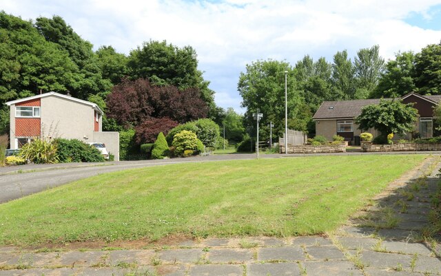
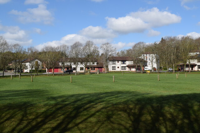
Pitcairn House, located in Fife, Scotland, is a significant heritage site that holds historical and architectural importance. Situated near the village of Auchtermuchty, the house dates back to the 16th century and has witnessed several transformations over the years.

Originally built as a tower house, Pitcairn House served as a fortified residence for the Pitcairn family, who were prominent landowners in the area. The house was expanded in the 17th century, incorporating a more elegant and grand design, reflecting the changing architectural trends of the time. The house features a mix of Renaissance and Jacobean styles, with intricate detailing and ornate carvings adorning its façade.

Throughout its history, Pitcairn House has been associated with notable figures, including Sir Archibald Pitcairne, a renowned physician and poet. The house also served as a meeting place for the notorious Covenanter rebels during the turbulent times of the 17th century.

Today, Pitcairn House stands as a well-preserved example of Scottish architectural heritage. The building is made of sandstone and boasts a distinctive L-shaped plan, with crow-stepped gables and a prominent central tower. The interior showcases period features, such as decorative plasterwork, a grand staircase, and ornamental fireplaces.

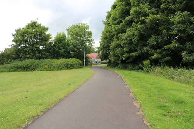
Pitcairn House is not open to the public, but it remains a recognizable landmark in the region, offering a glimpse into Scotland's rich history and architectural legacy. Its historical and cultural significance contributes to its status as a protected heritage site, ensuring that future generations can appreciate and learn from its unique past.

If you have any feedback on the listing, please let us know in the comments section below.

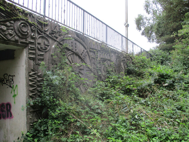
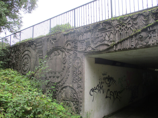
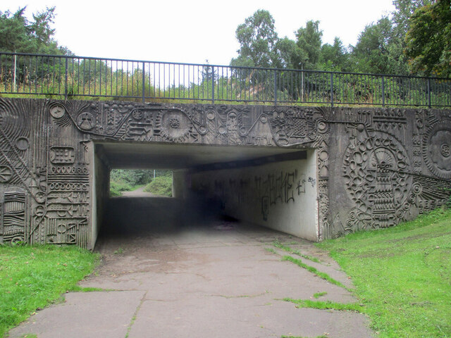
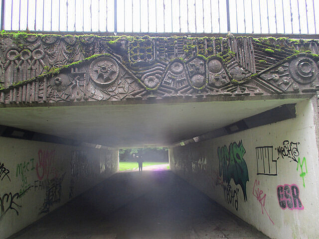
Pitcairn House Images

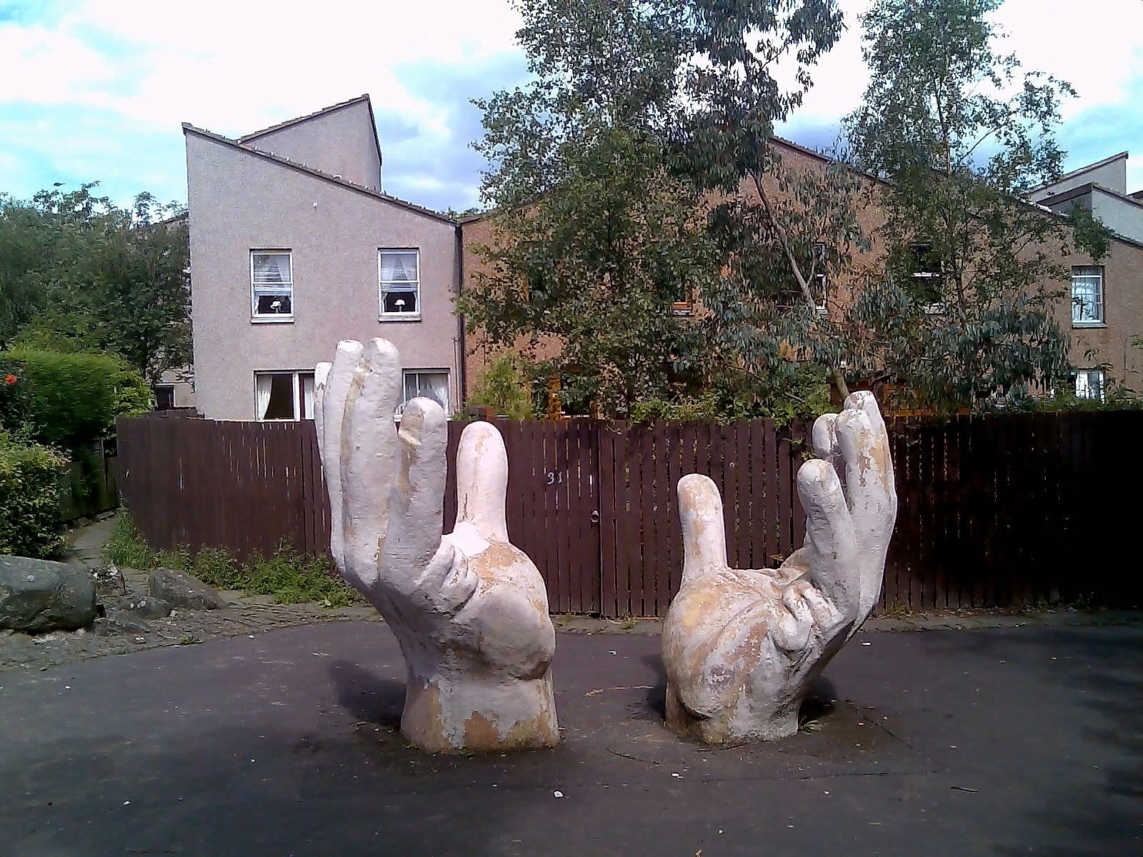
Images are sourced within 2km of 56.21/-3.168 or Grid Reference NO2702. Thanks to Geograph Open Source API. All images are credited.

Covid-19 vaccine centre In the Kingdom Centre shopping mall, Glenrothes. There is more than one vaccine centre in this shopping mall.
Covid-19 vaccine centre
In the Kingdom Centre shopping mall, Glenrothes. There is more than one vaccine centre in this shopping mall.
Leslie Railway Company marker From 1861 the Leslie Railway Company was responsible for a short section of railway connecting the town of Leslie to the Edinburgh, Perth and Dundee railway. In 1872 the company and the line became part of the North British Railway <span class="nowrap"><a title="https://www.scripoworld.com/records/united-kingdom/scotland/leslie-railway-company/" rel="nofollow ugc noopener" href="https://www.scripoworld.com/records/united-kingdom/scotland/leslie-railway-company/">Link</a><img style="margin-left:2px;" alt="External link" title="External link - shift click to open in new window" src="https://s1.geograph.org.uk/img/external.png" width="10" height="10"/></span>
This marker is at one end of Balbirnie Railway Viaduct which is a 'B' listed structure <span class="nowrap"><a title="http://www.forgottenrelics.co.uk/bridges/gallery/balbirnie.html" rel="nofollow ugc noopener" href="http://www.forgottenrelics.co.uk/bridges/gallery/balbirnie.html">Link</a><img style="margin-left:2px;" alt="External link" title="External link - shift click to open in new window" src="https://s1.geograph.org.uk/img/external.png" width="10" height="10"/></span>
Leslie Railway Company marker
From 1861 the Leslie Railway Company was responsible for a short section of railway connecting the town of Leslie to the Edinburgh, Perth and Dundee railway. In 1872 the company and the line became part of the North British Railway LinkExternal link This marker is at one end of Balbirnie Railway Viaduct which is a 'B' listed structure LinkExternal link
Leslie Railway Company marker From 1861 the Leslie Railway Company was responsible for a short section of railway connecting the town of Leslie to the Edinburgh, Perth and Dundee railway. In 1872 the company and the line became part of the North British Railway <span class="nowrap"><a title="https://www.scripoworld.com/records/united-kingdom/scotland/leslie-railway-company/" rel="nofollow ugc noopener" href="https://www.scripoworld.com/records/united-kingdom/scotland/leslie-railway-company/">Link</a><img style="margin-left:2px;" alt="External link" title="External link - shift click to open in new window" src="https://s1.geograph.org.uk/img/external.png" width="10" height="10"/></span>
This marker is at one end of West Mill road bridge which is now part of a footpath/cycleway running from Markinch to Glenrothes.
Leslie Railway Company marker
From 1861 the Leslie Railway Company was responsible for a short section of railway connecting the town of Leslie to the Edinburgh, Perth and Dundee railway. In 1872 the company and the line became part of the North British Railway LinkExternal link This marker is at one end of West Mill road bridge which is now part of a footpath/cycleway running from Markinch to Glenrothes.
Mill Lade This heavily overgrown tunnel carries the Mill Lade under the A911 Glenrothes to Leven road. The Mill Lade was originally the water source for several mills along its length but it is now long-disused and broken up into several sections.
Note: 'Mill Lade' (or 'Mill Leat') was the term given to the water source used to power a watermill. They were a man-made channel taking water from a suitable river.
Mill Lade
This heavily overgrown tunnel carries the Mill Lade under the A911 Glenrothes to Leven road. The Mill Lade was originally the water source for several mills along its length but it is now long-disused and broken up into several sections. Note: 'Mill Lade' (or 'Mill Leat') was the term given to the water source used to power a watermill. They were a man-made channel taking water from a suitable river.
Balbirnie Railway Viaduct This disused railway viaduct is now part of a footpath/cycleway connecting Glenrothes with Markinch. At the bottom left of the image is something interesting! <a href="https://www.geograph.org.uk/photo/7215434">NO2801 : Leslie Railway Company marker</a>
Balbirnie Railway Viaduct
This disused railway viaduct is now part of a footpath/cycleway connecting Glenrothes with Markinch. At the bottom left of the image is something interesting! NO2801 : Leslie Railway Company marker
Macknight Crescent, Markinch Seen from the Balbirnie Viaduct footpath.
Macknight Crescent, Markinch
Seen from the Balbirnie Viaduct footpath.
Balbirnie Viaduct Path This is Alburne Crescent. In centre image is the start of Balbirnie Viaduct Path.
Balbirnie Viaduct Path
This is Alburne Crescent. In centre image is the start of Balbirnie Viaduct Path.
Balbirnie Viaduct Path The path emerges from the wooded area heading towards Alburne Park.
Balbirnie Viaduct Path
The path emerges from the wooded area heading towards Alburne Park.
Balbirnie Viaduct Path The path approaches its starting point at Alburne Crescent <a href="https://www.geograph.org.uk/photo/7220551">NO2801 : Balbirnie Viaduct Path</a>
Balbirnie Viaduct Path
The path approaches its starting point at Alburne Crescent NO2801 : Balbirnie Viaduct Path
Small copse, Kirkforthar
Old road and A92 at Gateside
Western Avenue underpass artworks The west side of the south portal, with the A92 Western Avenue above.
Western Avenue underpass artworks
The west side of the south portal, with the A92 Western Avenue above.
Western Avenue underpass artworks The east side of the south portal, with the A92 Western Avenue above.
Western Avenue underpass artworks
The east side of the south portal, with the A92 Western Avenue above.
Western Avenue underpass artworks The west side of the north portal, with the A92 Western Avenue above.
Western Avenue underpass artworks
The west side of the north portal, with the A92 Western Avenue above.
Western Avenue underpass artworks The east side of the north portal, with the A92 Western Avenue above.
Western Avenue underpass artworks
The east side of the north portal, with the A92 Western Avenue above.
Western Avenue underpass artworks The south portal, with the A92 Western Avenue above.
Western Avenue underpass artworks
The south portal, with the A92 Western Avenue above.
Western Avenue underpass artworks The north portal, with the A92 Western Avenue above.
Western Avenue underpass artworks
The north portal, with the A92 Western Avenue above.
Balfarg henge In an unlikely location in a housing estate in the new town of Glenrothes (<span class="nowrap"><a title="https://en.wikipedia.org/wiki/Glenrothes" rel="nofollow ugc noopener" href="https://en.wikipedia.org/wiki/Glenrothes">Link</a><img style="margin-left:2px;" alt="External link" title="External link - shift click to open in new window" src="https://s1.geograph.org.uk/img/external.png" width="10" height="10"/></span> ) we see a restored wood and stone henge, the extent of which discovered during excavations in 1977.    It is circle No. 147 in Burl's guide, which he describes as a "megalithic imperative" to visit.
Balfarg henge
In an unlikely location in a housing estate in the new town of Glenrothes (LinkExternal link ) we see a restored wood and stone henge, the extent of which discovered during excavations in 1977. It is circle No. 147 in Burl's guide, which he describes as a "megalithic imperative" to visit.
Show me another place!

Pitcairn House is located at Grid Ref: NO2702 (Lat: 56.21, Lng: -3.168)

Unitary Authority: Fife

Police Authority: Fife

What 3 Words

///protrude.those.vineyard. Near Glenrothes, Fife

Related Wikis

Pitcoudie

Pitcoudie is a housing area in North Glenrothes in the Kingdom of Fife, Scotland - comprising 396 terraced and semi-detached houses. Traditionally, a pitcoudie...

Pitcairn House

Pitcairn House is a ruined 17th century laird's house, located in the modern Collydean residential area of Glenrothes, in Fife, Scotland. Pitcairn House...

Balfarg

Balfarg is a prehistoric monument complex in Glenrothes, Fife, Scotland. It is protected as a scheduled monument. With the development of Glenrothes new...

Balbirnie Stone Circle

Balbirnie Stone Circle is an archaeological site, a stone circle on the north-eastern edge of Glenrothes, in Fife, Scotland. The site was in use from the...

Glenrothes Hospital

Glenrothes Hospital is a health facility in Lodge Rise, Glenrothes, Scotland. It is managed by NHS Fife. == History == The facility was built in the early...

Cadham

Cadham is a precinct in the former new town of Glenrothes in Fife, Scotland. The oldest part of Cadham was once a hamlet and was established to house workers...

Collydean

Collydean is a precinct or neighbourhood in Glenrothes, Fife. Collydean has been built up in a number of phases. Early housing has been built into staggered...
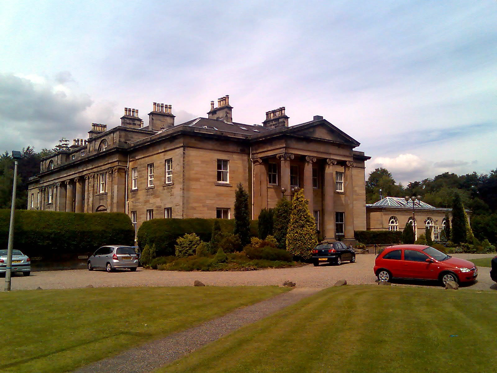
Balbirnie House

Balbirnie House is an early 19th-century country house in Glenrothes, in central Fife, Scotland. The present house was completed in 1817 as a rebuild of...

Nearby Amenities

Located within 500m of 56.21,-3.168
Mini Roundabout
Direction: clockwise
Lat/Long: 56.2073453/-3.1731899
Mini Roundabout
Lat/Long: 56.2081564/-3.1668632
Barrier: bollard
Bicycle: yes
Foot: yes
Motor Vehicle: no
Lat/Long: 56.2109563/-3.1651861
Parking
Lat/Long: 56.2078412/-3.170994
Parking
Parking: street_side
Lat/Long: 56.2096884/-3.1712372
Parking
Parking: street_side
Lat/Long: 56.2095408/-3.1732683
Noexit: yes
Lat/Long: 56.2102844/-3.1717079
Parking
Lat/Long: 56.2100837/-3.1738262
Parking
Access: private
Parking: street_side
Lat/Long: 56.2101417/-3.1755769
Parking
Parking: street_side
Lat/Long: 56.2098451/-3.1743197
Parking
Parking: street_side
Lat/Long: 56.2092611/-3.17372
Parking
Lat/Long: 56.2121124/-3.1616812
Recycling
Lat/Long: 56.2074642/-3.1696496
Cadham
Place: suburb
Source: OS 7th series
Lat/Long: 56.2068317/-3.1672277
Pitcoudie
Place: suburb
Source: OS 7th series
Lat/Long: 56.2097477/-3.1737958
Doctors
Northglen Medical Practice
Healthcare: doctor
Lat/Long: 56.2083902/-3.1687467
Dentist
Nanodent
Healthcare: dentist
Source: Survey Feb 2014
Lat/Long: 56.2081094/-3.1684503
Post Office
RS McColl
Source: Survey Feb 2014
Lat/Long: 56.2079793/-3.1690671
Glenrothes Locksmiths
Shop: hardware
Source: Survey Feb 2014
Website: https://www.glenrotheslocksmiths.co.uk/
Lat/Long: 56.2080992/-3.1720394
Jesters Costume Hire
Shop: party
Source: Survey Feb 2014
Lat/Long: 56.2083111/-3.1716551
Inspirations
Shop: bakery
Source: Survey Feb 2014
Lat/Long: 56.2082441/-3.1718407
Beauty Spot
Shop: beauty
Source: Survey Feb 2014
Website: https://ameybeautyspot.vpweb.co.uk/?prefix=www
Lat/Long: 56.2080648/-3.1713327
Pub
The Stanes
Source: Survey Feb 2014
Lat/Long: 56.2079105/-3.169679
Old Name: Coral
Shop: yes
Lat/Long: 56.2079869/-3.1696848
LJs Hair
Shop: hairdresser
Source: Survey Feb 2014
Lat/Long: 56.2080216/-3.1714483
Pharmacy
Cadham Pharmacy
Healthcare: pharmacy
Source: Survey Feb 2014
Lat/Long: 56.2080539/-3.1694764
Janet Adamson Hairdressing
Shop: hairdresser
Source: Survey Feb 2014
Lat/Long: 56.2080195/-3.1695773
Co-op Food
Brand: Co-op Food
Brand Wikidata: Q3277439
Brand Wikipedia: en:Co-op Food
Operator: The Co-operative Group
Operator Wikidata: Q117202
Shop: convenience
Source: Survey Feb 2014
Website: https://www.coop.co.uk/store-finder/KY7-6RU/7-cadham-centre
Lat/Long: 56.2080249/-3.1692256
Fast Food
Kingdom Chinese Takeaway
Cuisine: chinese
Source: Survey Feb 2014
Lat/Long: 56.2078935/-3.1689781
Fast Food
Dom's Fish & Chip Shop
Cuisine: fish_and_chips
Source: Survey Feb 2014
Lat/Long: 56.2077514/-3.1688315
Veterinary
St Clair Vets
Lat/Long: 56.2078033/-3.1688813
Jordan Acoustics
Addr City: Glenrothes
Addr Housenumber: 20-22
Addr Postcode: KY7 6RU
Addr Street: Cadham Centre
Description: High-end audiophile equipment both new and used.
Email: glenrothes@jordanacoustics.co.uk
Opening Hours: Mo-Fr 09:00-17:00
Phone: +44 1592 744 779
Second Hand: yes
Shop: hifi
Website: https://www.jordanacoustics.co.uk/
Lat/Long: 56.2080338/-3.1716888
Atm
Check Date: 2021-08-17
Lat/Long: 56.2079489/-3.1691135
Post Box
Collection Times: Mo-Fr 16:15, Sa 12:00
Operator: Royal Mail
Ref: KY7 374
Royal Cypher: scottish_crown
Source: Survey Feb 2014
Lat/Long: 56.2079183/-3.1692367
Post Box
Collection Times: Mo-Fr 16:30; Sa 12:00
Operator: Royal Mail
Ref: KY7 286
Source: Survey Feb 2014
Lat/Long: 56.2067167/-3.1687504
Post Box
Collection Times: Mo-Fr 16:15; Sa 12:00
Operator: Royal Mail
Ref: KY7 254
Source: Survey Feb 2014
Lat/Long: 56.2116253/-3.1611377
Julian Road A
Abandoned Leisure: playground
Lat/Long: 56.2074276/-3.1633578
Crossing
Crossing: zebra
Crossing Island: no
Tactile Paving: yes
Lat/Long: 56.2074986/-3.1685412
Crocodiles
Artist Name: Stanley Bonnar
Artwork Type: sculpture
Source: Historic Scotland
Tourism: artwork
Lat/Long: 56.2091137/-3.172204
Empty Television
Artist Name: Concept - David Harding. Chair mould by Stanley Bonnar. TV mould by John Gray
Artwork Type: sculpture
Source: Historic Scotland
Tourism: artwork
Lat/Long: 56.2097901/-3.1713992
Tulips
Artist Name: Stanley Bonnar
Artwork Type: sculpture
Source: Historic Scotland
Tourism: artwork
Lat/Long: 56.2103359/-3.1748045
Cadham Terrace
Abandoned Leisure: playground
Lat/Long: 56.2061022/-3.16556
Julian Road B
Abandoned Leisure: playground
Lat/Long: 56.2072214/-3.1639158
Aitken Road B
Leisure: playground
Lat/Long: 56.2060594/-3.1682616
Cumbrae Park
Leisure: playground
Lat/Long: 56.2103438/-3.1748634
Colonsay Park
Access: yes
Leisure: playground
Lat/Long: 56.2096114/-3.1736414
Crossing
Crossing: zebra
Crossing Island: no
Tactile Paving: yes
Lat/Long: 56.2113461/-3.1632868
Recycling
Lat/Long: 56.2110999/-3.1645393
Parking
Access: private
Parking: street_side
Lat/Long: 56.208263/-3.1733822
Parking
Parking: street_side
Lat/Long: 56.2102407/-3.1718644
Parking
Parking: street_side
Lat/Long: 56.2091657/-3.1711673
Generator Method: photovoltaic
Generator Output Electricity: yes
Generator Source: solar
Generator Type: solar_photovoltaic_panel
Location: roof
Power: generator
Lat/Long: 56.2137359/-3.16351
Generator Method: photovoltaic
Generator Output Electricity: yes
Generator Source: solar
Generator Type: solar_photovoltaic_panel
Location: roof
Power: generator
Lat/Long: 56.2132496/-3.1638801
Generator Method: photovoltaic
Generator Output Electricity: yes
Generator Source: solar
Generator Type: solar_photovoltaic_panel
Location: roof
Power: generator
Lat/Long: 56.2132272/-3.1639753
Generator Method: photovoltaic
Generator Output Electricity: yes
Generator Source: solar
Generator Type: solar_photovoltaic_panel
Location: roof
Power: generator
Lat/Long: 56.2129394/-3.1637004
Generator Method: photovoltaic
Generator Output Electricity: yes
Generator Source: solar
Generator Type: solar_photovoltaic_panel
Location: roof
Power: generator
Lat/Long: 56.2129118/-3.1637836
Generator Method: photovoltaic
Generator Output Electricity: yes
Generator Source: solar
Generator Type: solar_photovoltaic_panel
Location: roof
Power: generator
Lat/Long: 56.2128909/-3.1638949
Generator Method: photovoltaic
Generator Output Electricity: yes
Generator Source: solar
Generator Type: solar_photovoltaic_panel
Location: roof
Power: generator
Lat/Long: 56.2128618/-3.1639861
Generator Method: photovoltaic
Generator Output Electricity: yes
Generator Source: solar
Generator Type: solar_photovoltaic_panel
Location: roof
Power: generator
Lat/Long: 56.2127869/-3.1644856
Generator Method: photovoltaic
Generator Output Electricity: yes
Generator Source: solar
Generator Type: solar_photovoltaic_panel
Location: roof
Power: generator
Lat/Long: 56.2127686/-3.164544
Generator Method: photovoltaic
Generator Output Electricity: yes
Generator Source: solar
Generator Type: solar_photovoltaic_panel
Location: roof
Power: generator
Lat/Long: 56.212738/-3.1646727
Generator Method: photovoltaic
Generator Output Electricity: yes
Generator Source: solar
Generator Type: solar_photovoltaic_panel
Location: roof
Power: generator
Lat/Long: 56.2123032/-3.1644407
Generator Method: photovoltaic
Generator Output Electricity: yes
Generator Source: solar
Generator Type: solar_photovoltaic_panel
Location: roof
Power: generator
Lat/Long: 56.2123032/-3.1643723
Generator Method: photovoltaic
Generator Output Electricity: yes
Generator Source: solar
Generator Type: solar_photovoltaic_panel
Location: roof
Power: generator
Lat/Long: 56.2123308/-3.1643079
Generator Method: photovoltaic
Generator Output Electricity: yes
Generator Source: solar
Generator Type: solar_photovoltaic_panel
Location: roof
Power: generator
Lat/Long: 56.2124844/-3.1639659
Generator Method: photovoltaic
Generator Output Electricity: yes
Generator Source: solar
Generator Type: solar_photovoltaic_panel
Location: roof
Power: generator
Lat/Long: 56.2125314/-3.1634349
Generator Method: photovoltaic
Generator Output Electricity: yes
Generator Source: solar
Generator Type: solar_photovoltaic_panel
Location: roof
Power: generator
Lat/Long: 56.2123256/-3.1636052
Generator Method: photovoltaic
Generator Output Electricity: yes
Generator Source: solar
Generator Type: solar_photovoltaic_panel
Location: roof
Power: generator
Lat/Long: 56.2123852/-3.1635368
Generator Method: photovoltaic
Generator Output Electricity: yes
Generator Source: solar
Generator Type: solar_photovoltaic_panel
Location: roof
Power: generator
Lat/Long: 56.2122614/-3.1629293
Generator Method: photovoltaic
Generator Output Electricity: yes
Generator Source: solar
Generator Type: solar_photovoltaic_panel
Location: roof
Power: generator
Lat/Long: 56.2121578/-3.1629963
Generator Method: photovoltaic
Generator Output Electricity: yes
Generator Source: solar
Generator Type: solar_photovoltaic_panel
Location: roof
Power: generator
Lat/Long: 56.2103588/-3.1616351
Generator Method: photovoltaic
Generator Output Electricity: yes
Generator Source: solar
Generator Type: solar_photovoltaic_panel
Location: roof
Power: generator
Lat/Long: 56.2065347/-3.1702973
Generator Method: photovoltaic
Generator Output Electricity: yes
Generator Source: solar
Generator Type: solar_photovoltaic_panel
Location: roof
Power: generator
Lat/Long: 56.2100428/-3.1746417
Generator Method: photovoltaic
Generator Output Electricity: yes
Generator Source: solar
Generator Type: solar_photovoltaic_panel
Location: roof
Power: generator
Lat/Long: 56.2103499/-3.1615359
Generator Method: photovoltaic
Generator Output Electricity: yes
Generator Source: solar
Generator Type: solar_photovoltaic_panel
Location: roof
Power: generator
Lat/Long: 56.2115223/-3.1608143
Parking
Lat/Long: 56.2109656/-3.1736975
Parking
Lat/Long: 56.2110657/-3.1740512
Traffic Calming: cushion
Lat/Long: 56.2117269/-3.1623087
Parking
Access: private
Parking: surface
Lat/Long: 56.2085292/-3.1712336
Parking
Parking: street_side
Lat/Long: 56.2088075/-3.1707367
Parking
Lat/Long: 56.2085763/-3.1691477
Addr Housenumber: 329
Addr Street: Taransay Park
Entrance: yes
Lat/Long: 56.2098166/-3.1715552
Bus Stop
Bus: yes
Public Transport: platform
Lat/Long: 56.2112751/-3.1611475
Grit Bin
Lat/Long: 56.2124886/-3.1630413
Communication Mobile Phone: yes
Man Made: mast
Tower Construction: pole
Tower Type: communication
Lat/Long: 56.208171/-3.168928
Addr Housenumber: 322
Addr Street: Rona Place
Lat/Long: 56.2099921/-3.1719943
Addr Housenumber: 379
Addr Street: Kerrera Place
Lat/Long: 56.2087982/-3.1718424
Addr Housenumber: 299
Addr Street: Sandray Park
Lat/Long: 56.2107792/-3.1721413
Addr Housenumber: 321
Addr Street: Rona Place
Lat/Long: 56.2100499/-3.1718994
Addr Housenumber: 360
Addr Street: Taransay Park
Lat/Long: 56.2092361/-3.1718643
Addr Housenumber: 378
Addr Street: Kerrera Place
Lat/Long: 56.2088306/-3.1717301
Addr Housenumber: 300
Addr Street: Sandray Park
Lat/Long: 56.2107416/-3.1722093
Addr Housenumber: 320
Addr Street: Rona Place
Lat/Long: 56.2100773/-3.1717913
Addr Housenumber: 323
Addr Street: Rona Place
Lat/Long: 56.2099671/-3.1720524
Addr Housenumber: 301
Addr Street: Sandray Park
Lat/Long: 56.2106951/-3.1722591
Addr Housenumber: 324
Addr Street: Rona Place
Lat/Long: 56.209922/-3.172172
Addr Housenumber: 361
Addr Street: Taransay Park
Lat/Long: 56.2092826/-3.1718961
Addr Housenumber: 297
Addr Street: Sandray Park
Lat/Long: 56.2108682/-3.1719964
Addr Housenumber: 302
Addr Street: Sandray Park
Lat/Long: 56.2106361/-3.1724023
Addr Housenumber: 359
Addr Street: Taransay Park
Lat/Long: 56.2091777/-3.171797
Addr Housenumber: 358
Addr Street: Taransay Park
Lat/Long: 56.2091271/-3.1717449
Addr Housenumber: 298
Addr Street: Sandray Park
Lat/Long: 56.2108279/-3.1720655
Addr Housenumber: 303
Addr Street: Sandray Park
Lat/Long: 56.2106058/-3.172493
Addr Housenumber: 357
Addr Street: Taransay Park
Lat/Long: 56.2090568/-3.171645
Addr Housenumber: 305
Addr Street: Sandray Park
Lat/Long: 56.210527/-3.1727097
Addr Housenumber: 304
Addr Street: Sandray Park
Lat/Long: 56.2105673/-3.1726111
Addr Housenumber: 319
Addr Street: Rona Place
Lat/Long: 56.2101493/-3.1716498
Addr Housenumber: 185
Addr Street: Bute Place
Lat/Long: 56.2096909/-3.1749887
Addr Housenumber: 171
Addr Street: Bute Place
Lat/Long: 56.2100831/-3.1745449
Addr Housenumber: 212
Addr Street: Colonsay Park
Lat/Long: 56.2094435/-3.1730028
Addr Housenumber: 193
Addr Street: Shuna Square
Lat/Long: 56.2094907/-3.173963
Addr Housenumber: 145
Addr Street: Oldany Road
Lat/Long: 56.210115/-3.1760713
Addr Housenumber: 182
Addr Street: Bute Place
Lat/Long: 56.2095148/-3.1748853
Addr Housenumber: 202
Addr Street: Shuna Square
Lat/Long: 56.2090437/-3.1739891
Addr Housenumber: 205
Addr Street: Shuna Square
Lat/Long: 56.2089778/-3.1742729
Addr Housenumber: 214
Addr Street: Colonsay Park
Lat/Long: 56.2093219/-3.1731432
Addr Housenumber: 188
Addr Street: Shuna Square
Lat/Long: 56.2093418/-3.1743993
Addr Housenumber: 181
Addr Street: Bute Place
Lat/Long: 56.2095371/-3.1747697
Addr Housenumber: 201
Addr Street: Shuna Square
Lat/Long: 56.2090725/-3.1738777
Addr Housenumber: 176
Addr Street: Bute Place
Lat/Long: 56.2097654/-3.1742392
Addr Housenumber: 198
Addr Street: Shuna Square
Lat/Long: 56.2091702/-3.1735027
Addr Housenumber: 110
Addr Street: Oldany Road
Lat/Long: 56.2095442/-3.1760321
Addr Housenumber: 177
Addr Street: Bute Place
Lat/Long: 56.209696/-3.1743319
Addr Housenumber: 103
Addr Street: Uist Road
Lat/Long: 56.2093776/-3.1754722
Addr Housenumber: 164
Addr Street: Bute Place
Lat/Long: 56.2098181/-3.1752236
Addr Housenumber: 170
Addr Street: Bute Place
Lat/Long: 56.2100656/-3.1745957
Addr Housenumber: 174
Addr Street: Bute Place
Lat/Long: 56.2098597/-3.1740684
Addr Housenumber: 204
Addr Street: Shuna Square
Lat/Long: 56.2089969/-3.1741759
Addr Housenumber: 178
Addr Street: Bute Place
Lat/Long: 56.2096237/-3.1744313
Addr Housenumber: 203
Addr Street: Shuna Square
Lat/Long: 56.2090265/-3.1740688
Addr Housenumber: 218
Addr Street: Colonsay Park
Lat/Long: 56.2094907/-3.1735194
Addr Housenumber: 175
Addr Street: Bute Place
Lat/Long: 56.2098133/-3.1741455
Addr Housenumber: 197
Addr Street: Shuna Square
Lat/Long: 56.2091943/-3.1733828
Addr Housenumber: 168
Addr Street: Bute Place
Lat/Long: 56.2099678/-3.1748025
Addr Housenumber: 100
Addr Street: Uist Road
Lat/Long: 56.2092742/-3.1757382
Addr Housenumber: 216
Addr Street: Colonsay Park
Lat/Long: 56.2094107/-3.1733803
Addr Housenumber: 191
Addr Street: Shuna Square
Lat/Long: 56.2094253/-3.1740641
Addr Housenumber: 99
Addr Street: Uist Road
Lat/Long: 56.209232/-3.1758397
Addr Housenumber: 172
Addr Street: Bute Place
Lat/Long: 56.2101066/-3.1744961
Addr Housenumber: 213
Addr Street: Colonsay Park
Lat/Long: 56.2093864/-3.1730911
Addr Housenumber: 102
Addr Street: Uist Road
Lat/Long: 56.2093457/-3.1755445
Addr Housenumber: 196
Addr Street: Shuna Square
Lat/Long: 56.2092062/-3.1732908
Addr Housenumber: 194
Addr Street: Shuna Square
Lat/Long: 56.2095515/-3.173926
Addr Housenumber: 173
Addr Street: Bute Place
Lat/Long: 56.2101292/-3.1744915
Addr Housenumber: 105
Addr Street: Uist Road
Lat/Long: 56.2094252/-3.1753441
Addr Housenumber: 189
Addr Street: Shuna Square
Lat/Long: 56.2093468/-3.1742845
Addr Housenumber: 217
Addr Street: Colonsay Park
Lat/Long: 56.2094451/-3.1734588
Addr Housenumber: 180
Addr Street: Bute Place
Lat/Long: 56.2095579/-3.1746641
Addr Housenumber: 199
Addr Street: Shuna Square
Lat/Long: 56.2091356/-3.1736389
Addr Housenumber: 179
Addr Street: Bute Place
Lat/Long: 56.2095652/-3.1745723
Addr Housenumber: 190
Addr Street: Shuna Square
Lat/Long: 56.2093906/-3.1741609
Addr Housenumber: 167
Addr Street: Bute Place
Lat/Long: 56.2099326/-3.1748872
Addr Housenumber: 192
Addr Street: Shuna Square
Lat/Long: 56.2094604/-3.173986
Addr Housenumber: 106
Addr Street: Oldany Road
Lat/Long: 56.2097706/-3.1756951
Addr Housenumber: 165
Addr Street: Bute Place
Lat/Long: 56.2098507/-3.1750798
Addr Housenumber: 108
Addr Street: Oldany Road
Lat/Long: 56.2096418/-3.1759055
Addr Housenumber: 184
Addr Street: Bute Place
Lat/Long: 56.2096253/-3.1749076
Addr Housenumber: 169
Addr Street: Bute Place
Lat/Long: 56.2100214/-3.1746888
Addr Housenumber: 211
Addr Street: Colonsay Park
Lat/Long: 56.2095006/-3.1729423
Addr Housenumber: 101
Addr Street: Uist Road
Lat/Long: 56.209317/-3.1756407
Addr Housenumber: 166
Addr Street: Bute Place
Lat/Long: 56.2098897/-3.1749829
Addr Housenumber: 98
Addr Street: Uist Road
Lat/Long: 56.2091916/-3.1759227
Addr Housenumber: 195
Addr Street: Shuna Square
Lat/Long: 56.209609/-3.173794
Addr Housenumber: 183
Addr Street: Bute Place
Lat/Long: 56.2094794/-3.1750038
Addr Housenumber: 210
Addr Street: Colonsay Park
Lat/Long: 56.20954/-3.1728606
Addr Housenumber: 187
Addr Street: Shuna Square
Lat/Long: 56.2092166/-3.1744089
Addr Housenumber: 215
Addr Street: Colonsay Park
Lat/Long: 56.209369/-3.1732878
Addr Housenumber: 186
Addr Street: Shuna Square
Lat/Long: 56.2091457/-3.1743242
Addr Housenumber: 200
Addr Street: Shuna Square
Lat/Long: 56.2090993/-3.1737666
Addr Housenumber: 104
Addr Street: Uist Road
Lat/Long: 56.2094056/-3.1754132
Addr Housenumber: 109
Addr Street: Oldany Road
Lat/Long: 56.2095823/-3.1759379
Addr Housenumber: 107
Addr Street: Oldany Road
Lat/Long: 56.2097152/-3.1758075
Addr Housenumber: 354
Addr Street: Taransay Park
Entrance: yes
Lat/Long: 56.2091416/-3.1710471
Addr Housenumber: 337
Addr Street: Taransay Park
Entrance: yes
Lat/Long: 56.2097013/-3.170839
Addr Housenumber: 339
Addr Street: Taransay Park
Entrance: yes
Lat/Long: 56.2096048/-3.171017
Addr Housenumber: 333
Addr Street: Taransay Park
Entrance: yes
Lat/Long: 56.209841/-3.1711635
Addr Housenumber: 327
Addr Street: Taransay Park
Entrance: yes
Lat/Long: 56.209697/-3.1717606
Addr Housenumber: 355
Addr Street: Taransay Park
Entrance: yes
Lat/Long: 56.2091098/-3.171128
Addr Housenumber: 328
Addr Street: Taransay Park
Entrance: yes
Lat/Long: 56.2097639/-3.171675
Addr Housenumber: 341
Addr Street: Taransay Park
Entrance: yes
Lat/Long: 56.2095127/-3.1712918
Addr Housenumber: 331
Addr Street: Taransay Park
Entrance: yes
Lat/Long: 56.2099295/-3.1713538
Bench
Backrest: yes
Lat/Long: 56.2124931/-3.1694781
Addr Housenumber: 347-352
Addr Street: Taransay Park
Entrance: yes
Lat/Long: 56.2092171/-3.1709527
Addr Housenumber: 338
Addr Street: Taransay Park
Entrance: yes
Lat/Long: 56.209648/-3.1709374
Addr Housenumber: 345
Addr Street: Taransay Park
Entrance: yes
Lat/Long: 56.2093318/-3.1711753
Addr Housenumber: 336
Addr Street: Taransay Park
Entrance: yes
Lat/Long: 56.2097332/-3.1707801
Addr Housenumber: 340
Addr Street: Taransay Park
Entrance: yes
Lat/Long: 56.2095361/-3.171207
Addr Housenumber: 344
Addr Street: Taransay Park
Entrance: yes
Lat/Long: 56.2094299/-3.1715923
Bench
Backrest: yes
Lat/Long: 56.2119504/-3.1677602
Addr Housenumber: 343
Addr Street: Taransay Park
Entrance: yes
Lat/Long: 56.2094527/-3.1715096
Bench
Backrest: yes
Lat/Long: 56.2075758/-3.1736174
Bench
Backrest: yes
Lat/Long: 56.2115218/-3.1710297
Waste Basket
Lat/Long: 56.2096705/-3.1697506
Addr Housenumber: 326
Addr Street: Taransay Park
Entrance: yes
Lat/Long: 56.2096654/-3.1718419
Addr Housenumber: 335
Addr Street: Taransay Park
Entrance: yes
Lat/Long: 56.2097468/-3.1710364
Addr Housenumber: 342
Addr Street: Taransay Park
Entrance: yes
Lat/Long: 56.2094861/-3.1713884
Addr Housenumber: 346
Addr Street: Taransay Park
Entrance: yes
Lat/Long: 56.2092737/-3.1711034
Bench
Backrest: yes
Lat/Long: 56.2109167/-3.1705535
Addr Housenumber: 325
Addr Street: Taransay Park
Entrance: yes
Lat/Long: 56.2096335/-3.1719237
Waste Basket
Lat/Long: 56.2128495/-3.1684374
Addr Housenumber: 356
Addr Street: Taransay Park
Entrance: yes
Lat/Long: 56.2090768/-3.1712122
Addr Housenumber: 334
Addr Street: Taransay Park
Entrance: yes
Lat/Long: 56.2097892/-3.1710936
Addr Housenumber: 330
Addr Street: Taransay Park
Entrance: yes
Lat/Long: 56.2099541/-3.1713902
Addr Housenumber: 332
Addr Street: Taransay Park
Entrance: yes
Lat/Long: 56.2098982/-3.1712405
Addr Housenumber: 353
Addr Street: Taransay Park
Entrance: yes
Lat/Long: 56.2091722/-3.1709692
Waste Basket
Lat/Long: 56.2098862/-3.1692122
Grit Bin
Lat/Long: 56.2080216/-3.1727547
The data included in this document is from www.openstreetmap.org. The data is made available under ODbL.

Have you been to Pitcairn House?

Leave your review of Pitcairn House below (or comments, questions and feedback).