Pind Howes

Heritage Site in Yorkshire

England

Pind Howes

Danby Rigg Looking NW on Danby Rigg.
Danby Rigg Credit: T Eyre

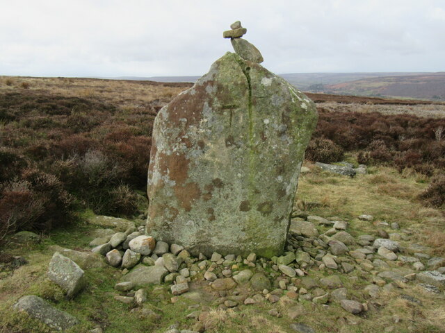
Pind Howes is a significant heritage site located in Yorkshire, England. Situated near the village of Thixendale in the Yorkshire Wolds, Pind Howes is an ancient barrow, also known as a burial mound, dating back to the Neolithic period. The site is believed to have been constructed around 3600 to 3000 BC, making it over 5,000 years old.

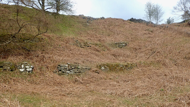
The barrow at Pind Howes has a circular shape and measures approximately 30 meters in diameter. It is composed of a large earthen mound, with a central burial chamber made of stone. The chamber itself is accessed through a narrow entrance passage. The structure was likely used for communal burials, as several skeletons and cremation deposits have been discovered within.

Pind Howes is of great archaeological importance, providing insights into the burial practices and beliefs of the early inhabitants of the region. The site has been carefully excavated and studied, yielding a range of artifacts such as pottery, flint tools, and animal bones, which have helped researchers understand the lives of these ancient communities.

Today, Pind Howes is maintained and protected as a heritage site by the local authorities. It is open to the public, allowing visitors to explore the ancient monument and learn about its historical significance. The site offers a unique opportunity to experience the rich cultural heritage of the Yorkshire region and provides a glimpse into the lives of the people who once inhabited these lands thousands of years ago.

If you have any feedback on the listing, please let us know in the comments section below.
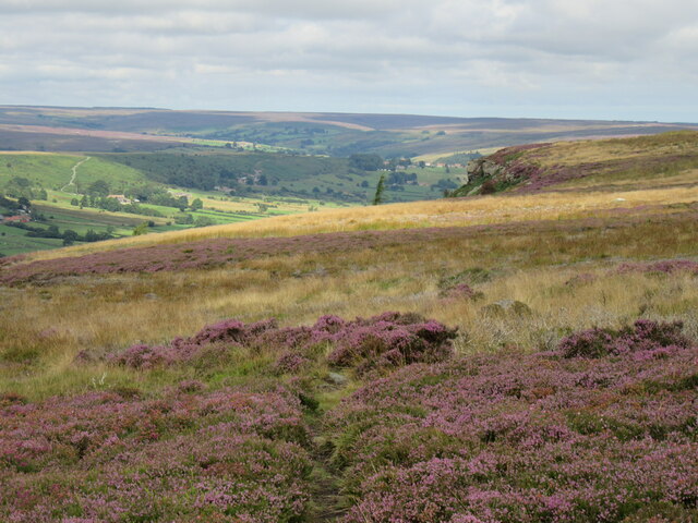
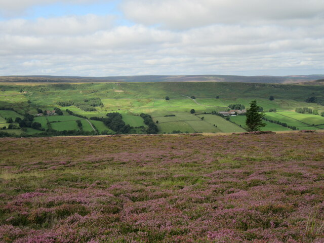
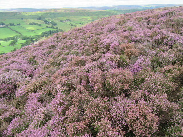
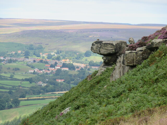
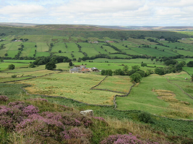
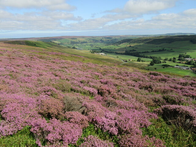
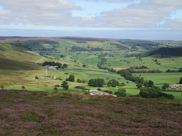
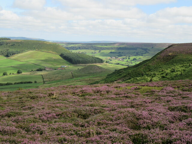
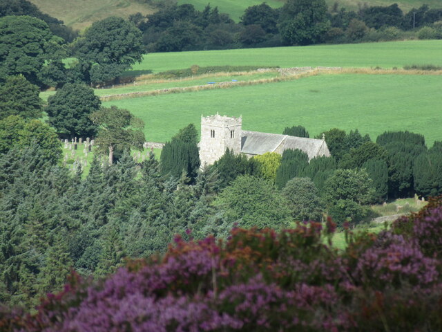
Pind Howes Images

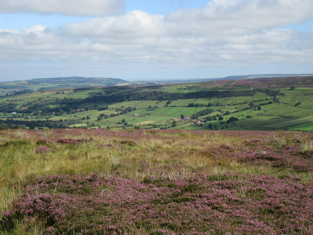
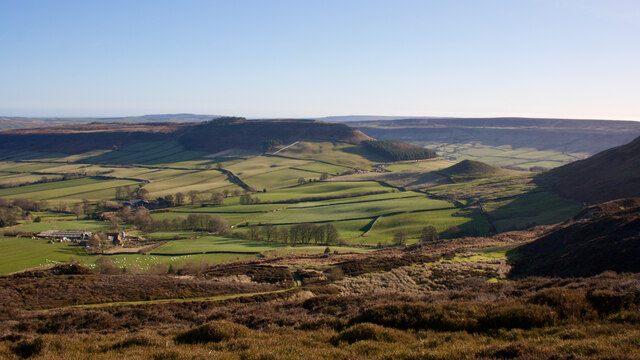
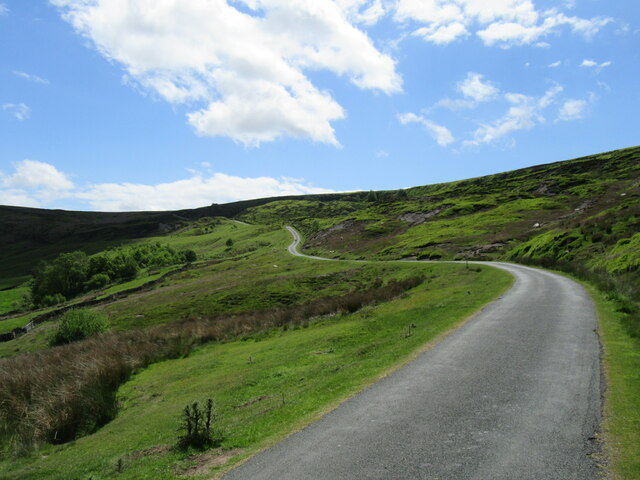
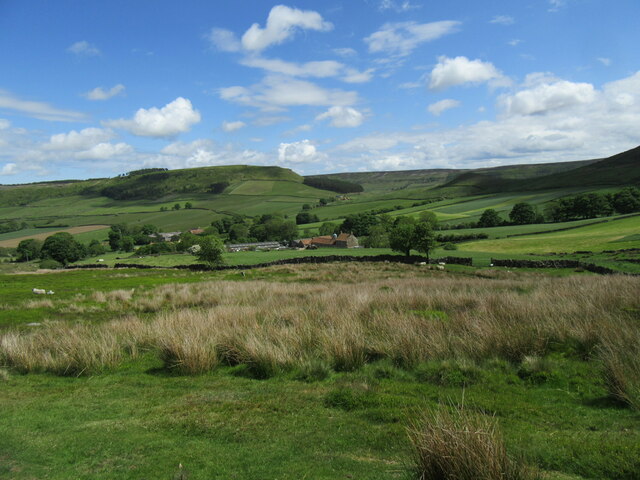
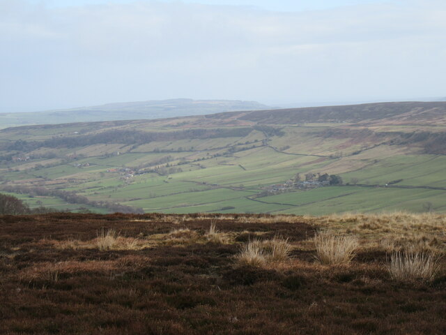
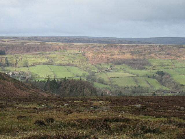
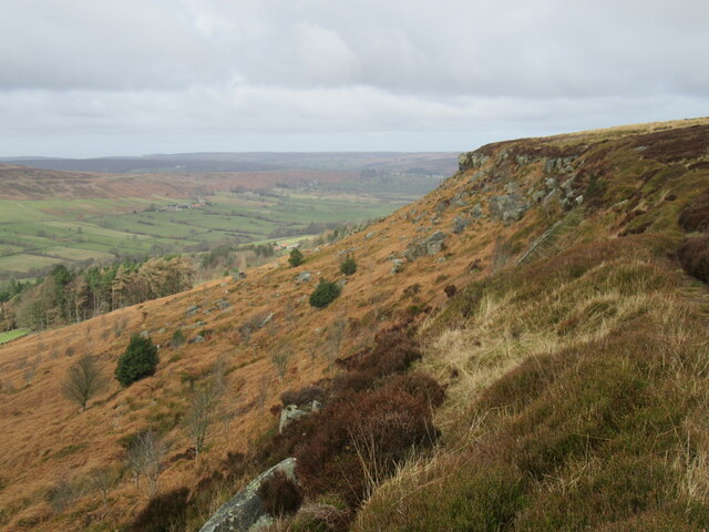
Images are sourced within 2km of 54.432/-0.913 or Grid Reference NZ7004. Thanks to Geograph Open Source API. All images are credited.

Danby Rigg Looking NW on Danby Rigg.
Danby Rigg
Looking NW on Danby Rigg.
Danby Rigg view Looking west from Danby Rigg.
Danby Rigg view
Looking west from Danby Rigg.
Heather on Danby Rigg Bell Heather on Danby Rigg.
Heather on Danby Rigg
Bell Heather on Danby Rigg.
Baker's Nab Hanging above Danby Dale, Castleton in the distance.
Baker's Nab
Hanging above Danby Dale, Castleton in the distance.
Above Botton Grove Looking down towards Botton Grove from Danby Rigg.
Above Botton Grove
Looking down towards Botton Grove from Danby Rigg.
View of Little Fryup Dale Looking NE into Little Fryup Dale from Danby Rigg.
View of Little Fryup Dale
Looking NE into Little Fryup Dale from Danby Rigg.
Little Fryup Dale Looking north into Little Fryup Dale.
Little Fryup Dale
Looking north into Little Fryup Dale.
Looking Towards Fairy Cross Plain Looking east towards Fairy Cross Plain and Round Hill from Danby Rigg.
Looking Towards Fairy Cross Plain
Looking east towards Fairy Cross Plain and Round Hill from Danby Rigg.
Great Fryup Dale Looking NE into Great Fryup Dale from the road that goes over Danby High Moor.
Great Fryup Dale
Looking NE into Great Fryup Dale from the road that goes over Danby High Moor.
Raven Lodge retaining walls
Little Fryup Dale The Rev. J.C. Atkinson, writing in the late 19th-century, had a fascination for Little Fryup Dale, or rather the folklore associated with the area around the little knoll on the right, Fairy Cross Plain.

It might seem odd that a man of the cloth should be so preoccupied with fairies, elves and hobs but belief in the supernatural would still have been within living memory of many of his parishioners. In 1866 he wrote:

There was a singularly fine fairy-ring, at Fairy-cross Plain, in this parish — a place which will be mentioned again before long, in connection with the Elfin race — round which children, in the time of my parish clerk’s childhood, (and he is not fifty yet,) would run any number of times short of nine, himself among the number. Nothing would induce them to run the ninth, for if they did it would ‘raise the fairies,’ who were held to have great power to harm, and a willingness too, if treated neglectingly or despitefully.

Atkinson compares similar lore from Northumberland, Scotland and across the North Sea, from Sweden and Denmark.

Fairy Cross Plain now is just two or three cottages. In Atkinson’s day, one of these was a public house called the “Ship Inn”. Job Bonas lived in another. He was a farmer, blacksmith and horse breeder, and used to drive to Helmsley by pony and trap to shoe the oxen on Lord Feversham’s estate.

For sources and references see my blog <span class="nowrap"><a title="http://www.fhithich.uk/?p=27356" rel="nofollow ugc noopener" href="http://www.fhithich.uk/?p=27356">Link</a><img style="margin-left:2px;" alt="External link" title="External link - shift click to open in new window" src="https://s1.geograph.org.uk/img/external.png" width="10" height="10"/></span>
Little Fryup Dale
The Rev. J.C. Atkinson, writing in the late 19th-century, had a fascination for Little Fryup Dale, or rather the folklore associated with the area around the little knoll on the right, Fairy Cross Plain. It might seem odd that a man of the cloth should be so preoccupied with fairies, elves and hobs but belief in the supernatural would still have been within living memory of many of his parishioners. In 1866 he wrote: There was a singularly fine fairy-ring, at Fairy-cross Plain, in this parish — a place which will be mentioned again before long, in connection with the Elfin race — round which children, in the time of my parish clerk’s childhood, (and he is not fifty yet,) would run any number of times short of nine, himself among the number. Nothing would induce them to run the ninth, for if they did it would ‘raise the fairies,’ who were held to have great power to harm, and a willingness too, if treated neglectingly or despitefully. Atkinson compares similar lore from Northumberland, Scotland and across the North Sea, from Sweden and Denmark. Fairy Cross Plain now is just two or three cottages. In Atkinson’s day, one of these was a public house called the “Ship Inn”. Job Bonas lived in another. He was a farmer, blacksmith and horse breeder, and used to drive to Helmsley by pony and trap to shoe the oxen on Lord Feversham’s estate. For sources and references see my blog LinkExternal link
New Way The steep hill out of Little Fryup Dale.
New Way
The steep hill out of Little Fryup Dale.
Little Fryup Dale Looking east at the bottom of New Way.
Little Fryup Dale
Looking east at the bottom of New Way.
Great Fryup Dale Looking NE from the road.
Great Fryup Dale
Looking NE from the road.
On Danby Rigg Looking west towards Danby Dale.
On Danby Rigg
Looking west towards Danby Dale.
Danby Rigg The rocky escarpment on the west side of Danby Rigg.
Danby Rigg
The rocky escarpment on the west side of Danby Rigg.
Standing stone on Danby Rigg A large standing stone on Danby Rigg.
Standing stone on Danby Rigg
A large standing stone on Danby Rigg.
Danby Church from Danby Rigg Zoomed view of Danby Church from Danby Rigg.
Danby Church from Danby Rigg
Zoomed view of Danby Church from Danby Rigg.
Show me another place!

Pind Howes is located at Grid Ref: NZ7004 (Lat: 54.432, Lng: -0.913)

Division: North Riding

What 3 Words

///race.denim.clocked. Near Danby, North Yorkshire

Nearby Locations

Pind Howes

Related Wikis

Botton, North Yorkshire

Botton is a small village within the North York Moors National Park in North Yorkshire, England which is mainly a Camphill Community for people with learning...

Fryup

Fryup (grid reference NZ720046) is a hamlet in the North York Moors National Park in North Yorkshire, England. It is within the civil parish of Danby,...

Ainthorpe

Ainthorpe is a village in the civil parish of Danby and the Scarborough district of the county of North Yorkshire, England. It is situated within the...

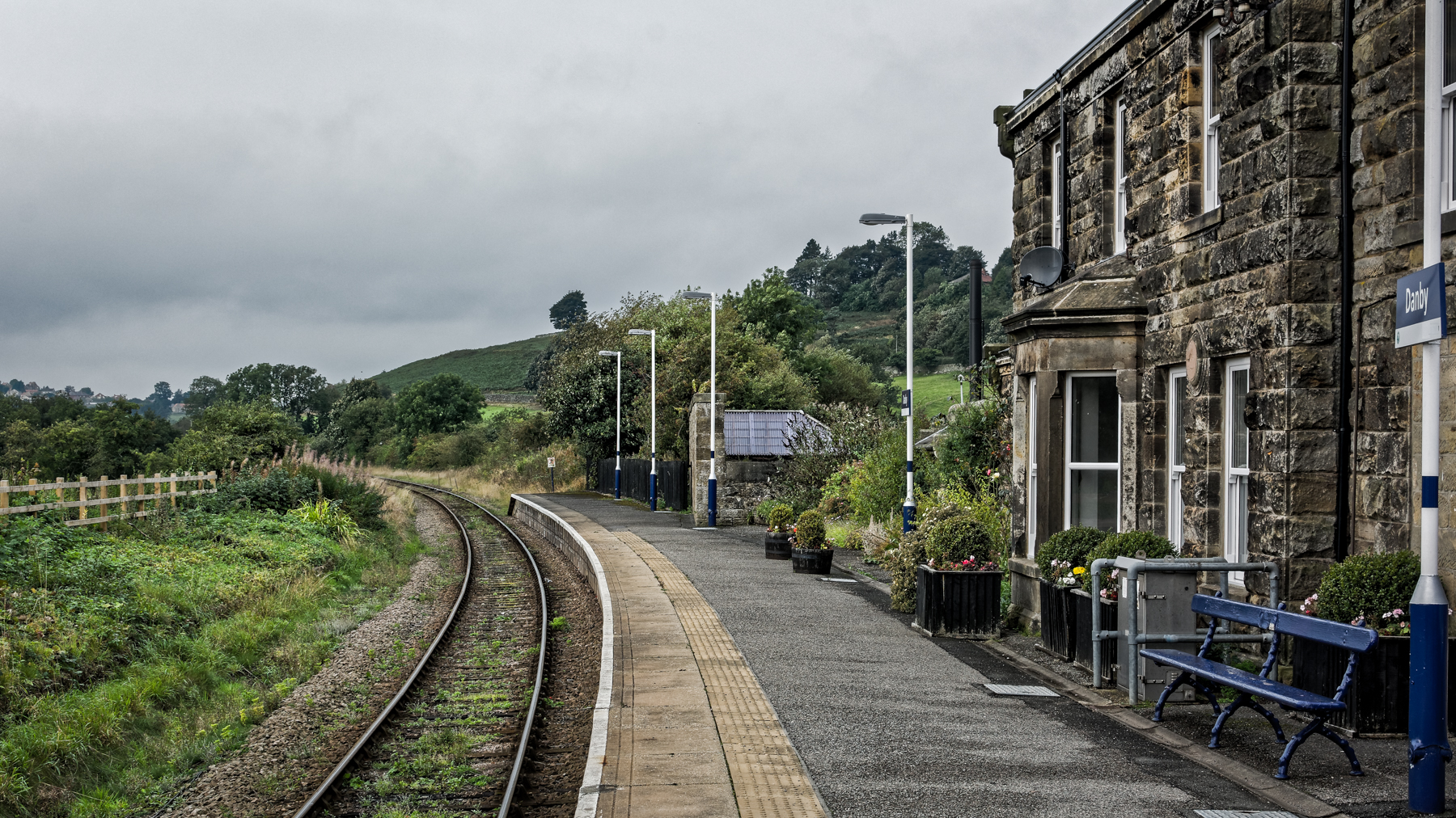
Danby railway station

Danby is a railway station on the Esk Valley Line, which runs between Middlesbrough and Whitby via Nunthorpe. The station, situated 15 miles 9 chains...

Have you been to Pind Howes?

Leave your review of Pind Howes below (or comments, questions and feedback).