Pillow Mounds
Heritage Site in Caernarfonshire
Wales
Pillow Mounds
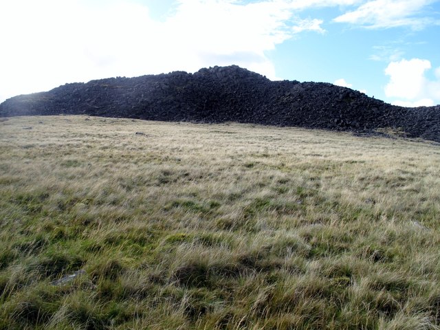
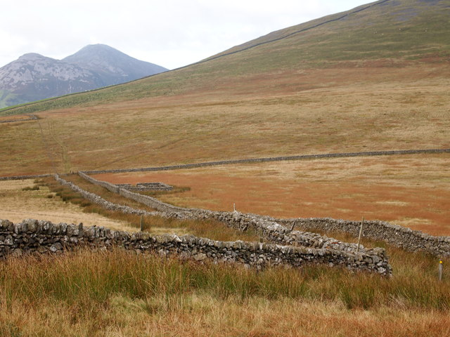
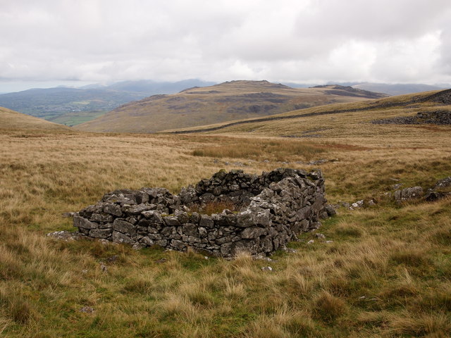
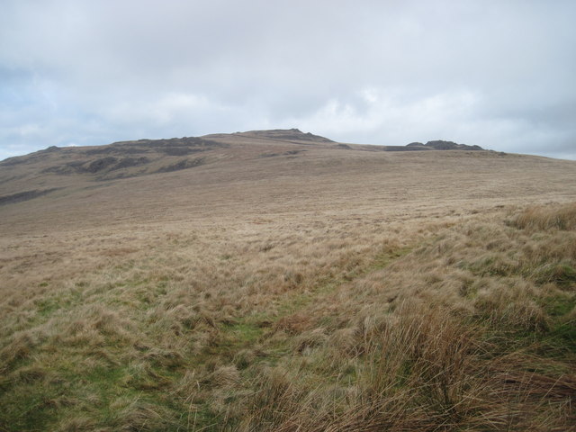
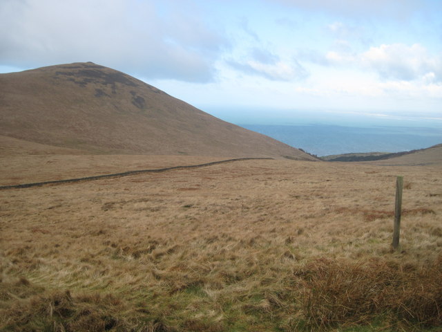
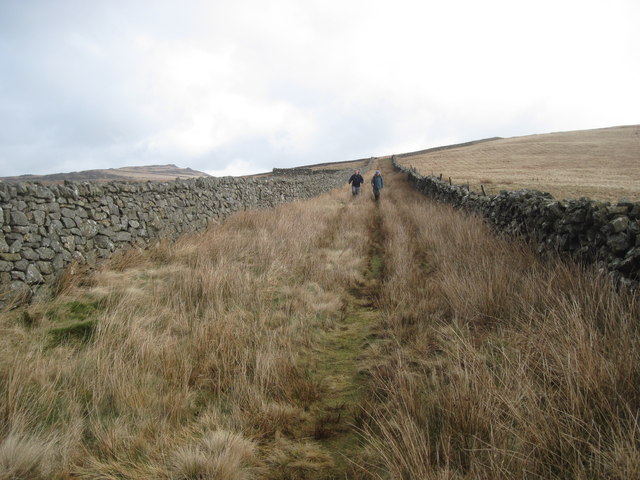
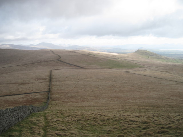
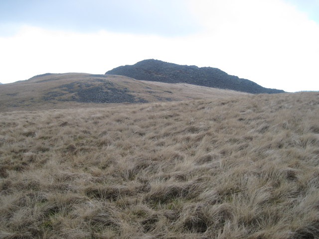
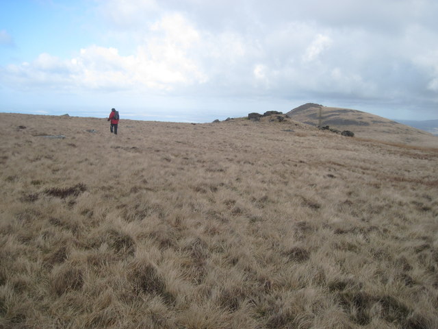
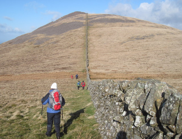
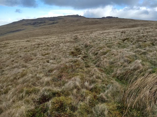
Pillow Mounds, located in Caernarfonshire, Wales, is a significant heritage site boasting a unique archaeological feature. These pillow mounds, also known as rabbit warrens, are man-made structures that were constructed during the medieval period. The site is situated in the picturesque countryside, surrounded by rolling hills and lush greenery.
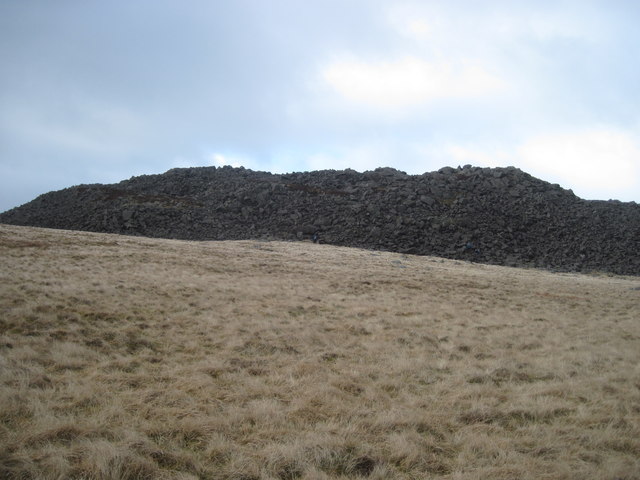
The pillow mounds at Caernarfonshire are a testament to the economic importance of rabbit farming during the Middle Ages. These cone-shaped mounds were created to provide shelter and breeding grounds for rabbits, which were highly valued for their fur and meat. The mounds were carefully designed and constructed using turf and soil, forming elongated ridges that could stretch up to several meters in length.
Archaeological excavations at the site have revealed fascinating insights into the rabbit farming practices of the past. The pillow mounds were often interconnected by a network of burrows and tunnels, allowing the rabbits to move freely between different areas of the warren. Some mounds even featured specially designed chambers for the rabbits to nest and rear their young.
Pillow Mounds in Caernarfonshire serve as a physical and historical reminder of the medieval agricultural practices in the region. The site provides a valuable opportunity for visitors to explore and learn about the importance of rabbit farming during this period. Additionally, the surrounding landscape offers a picturesque backdrop for those seeking a tranquil and scenic experience.
If you have any feedback on the listing, please let us know in the comments section below.
Pillow Mounds Images
Images are sourced within 2km of 52.983/-4.377 or Grid Reference SH4045. Thanks to Geograph Open Source API. All images are credited.
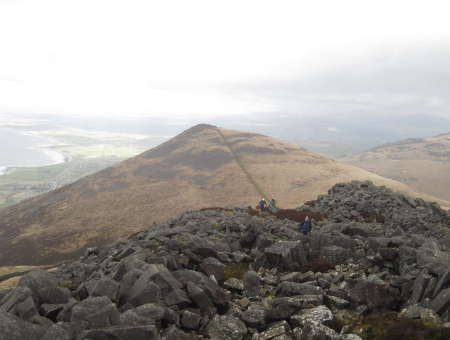
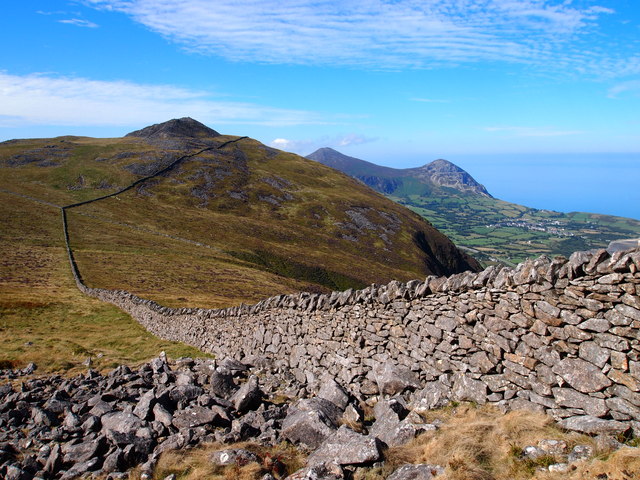
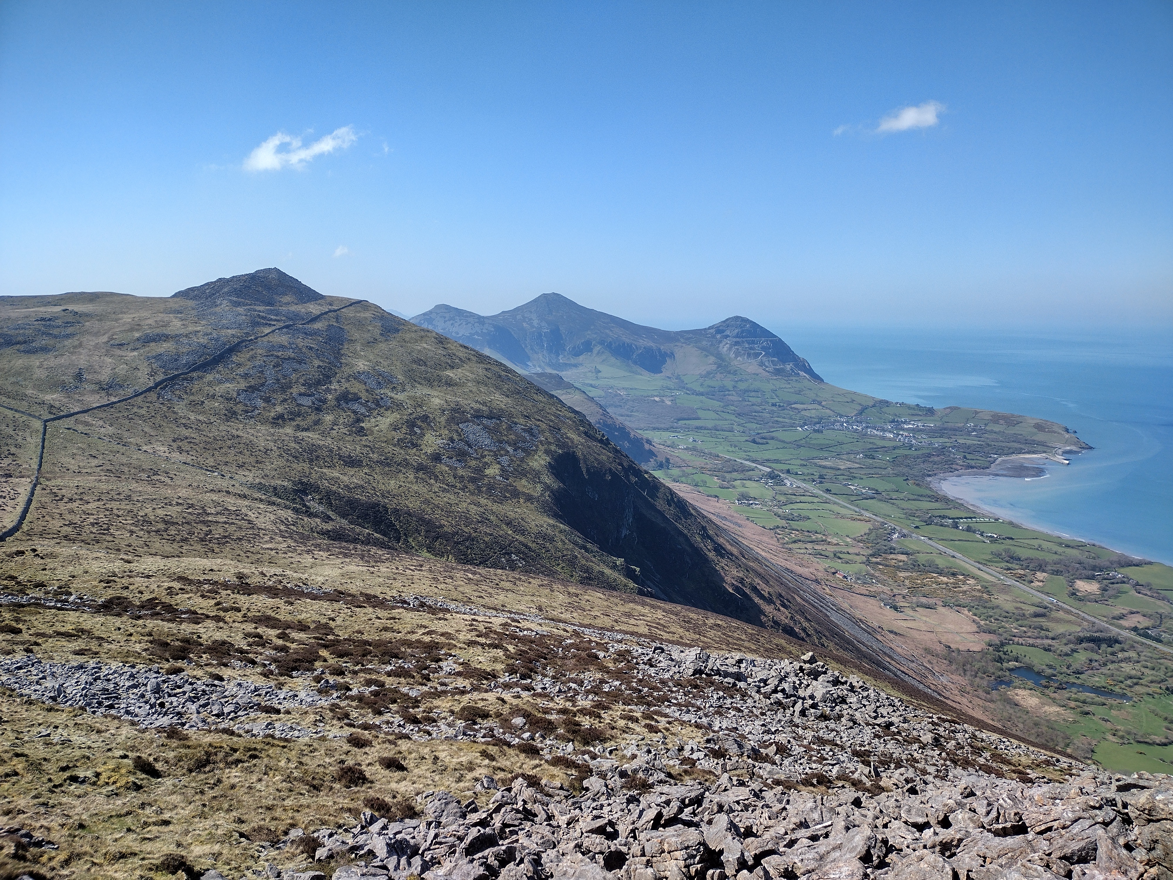
![Looking south west from Gyrn Ddu With Yr Eifl [the hills] and Trefor [the village] and its pier just visible in the haze.](https://s0.geograph.org.uk/geophotos/03/74/49/3744936_8e8303ff.jpg)
Pillow Mounds is located at Grid Ref: SH4045 (Lat: 52.983, Lng: -4.377)
What 3 Words
///comical.upstarts.lanes. Near Penygroes, Gwynedd
Nearby Locations
Related Wikis
Gyrn Ddu
Gyrn Ddu is a hill near the northeastern corner of the Llŷn Peninsula in the community of Llanaelhaearn in the county of Gwynedd in North Wales. It forms...

A499 road
The A499 road is the major road of the Llŷn peninsula in North Wales. Its northern terminus is a roundabout with the A487 trunk road between Llanwnda and...

Llanaelhaearn
Llanaelhaearn is a village and community on the Llŷn Peninsula in the county of Gwynedd, Wales. The community includes the larger village of Trefor and...

Trefor Quarry railway
The Trefor Quarry railway was an industrial, 1 ft 11+1⁄2 in (597 mm) narrow-gauge railway connecting the Trefor granite quarry with the pier at Llanaelhaearn...
Have you been to Pillow Mounds?
Leave your review of Pillow Mounds below (or comments, questions and feedback).