Penkridge Hall

Heritage Site in Shropshire

England

Penkridge Hall

Back along the ridge of The Lawley Gives a good impression of the true length of this narrow ridge; the summit lies on the pointy bit in the distance, and a good path runs all the way up from this NE end.
Back along the ridge of The Lawley Credit: Richard Law

The requested URL returned error: 429 Too Many Requests

If you have any feedback on the listing, please let us know in the comments section below.

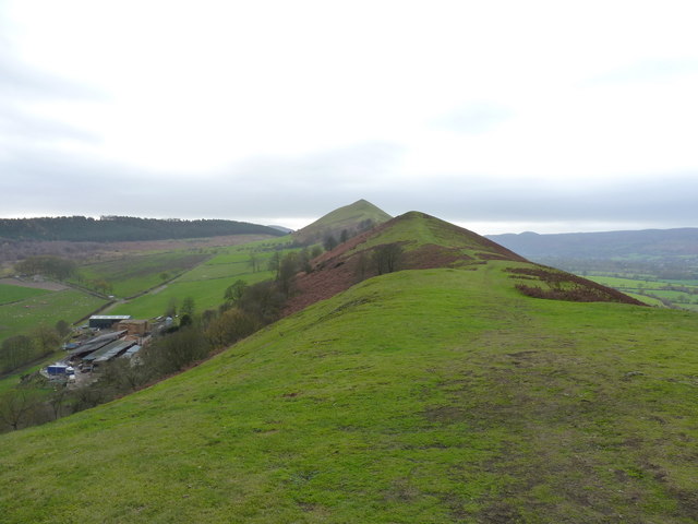
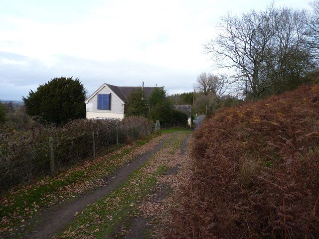
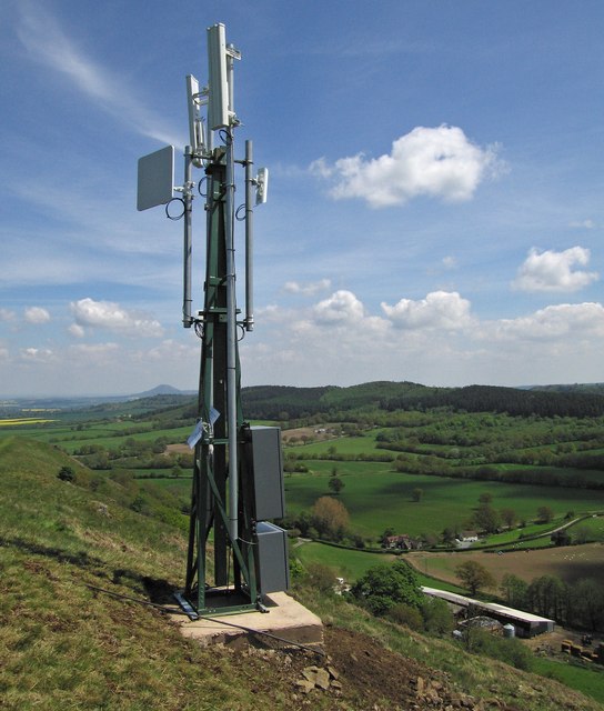
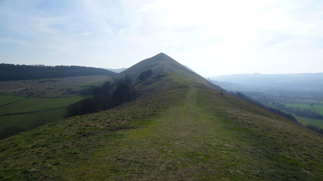
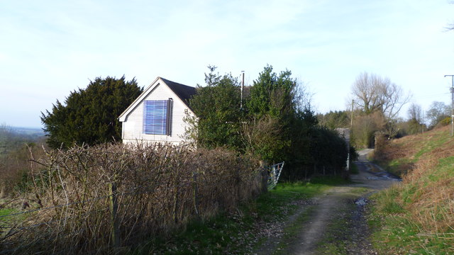
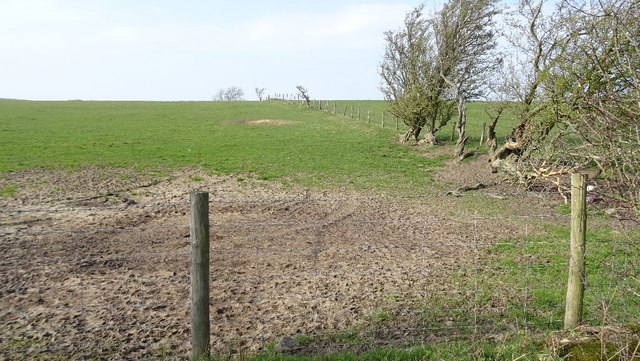
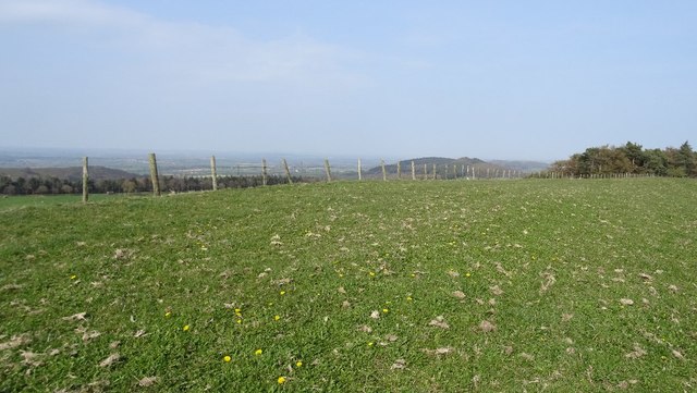
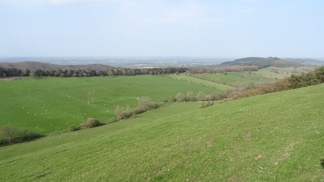
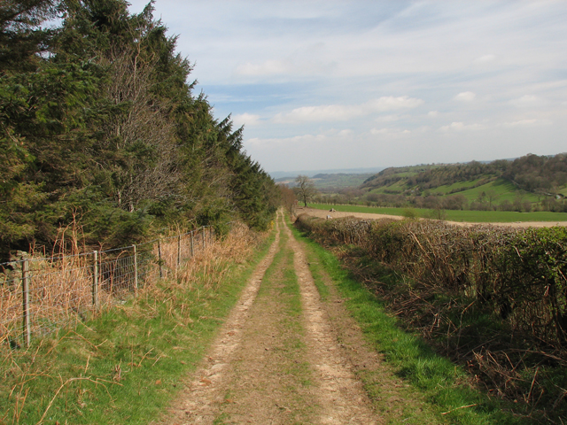
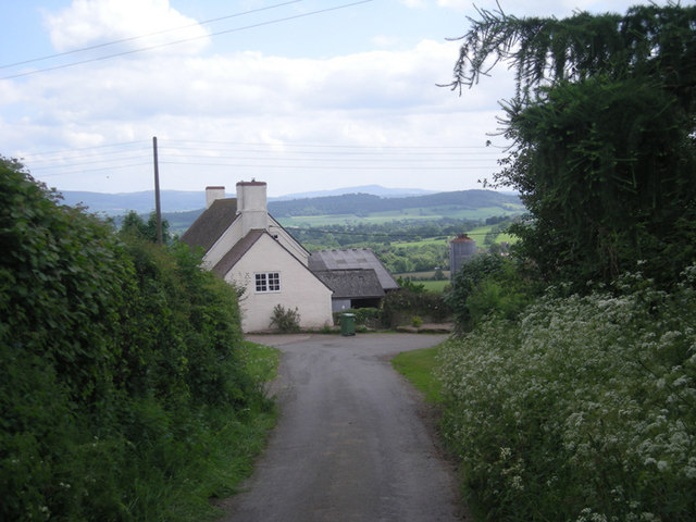
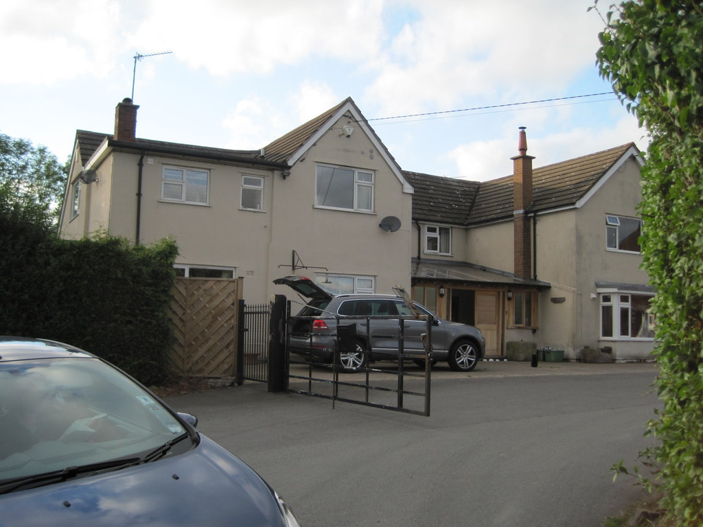
Penkridge Hall Images

Images are sourced within 2km of 52.572/-2.76 or Grid Reference SO4897. Thanks to Geograph Open Source API. All images are credited.

Back along the ridge of The Lawley Gives a good impression of the true length of this narrow ridge; the summit lies on the pointy bit in the distance, and a good path runs all the way up from this NE end.
Back along the ridge of The Lawley
Gives a good impression of the true length of this narrow ridge; the summit lies on the pointy bit in the distance, and a good path runs all the way up from this NE end.
Well House, below The Lawley
Local broadband mast A sign on this mast says “This mast has been erected to provide a broadband service to the local community”
Local broadband mast
A sign on this mast says “This mast has been erected to provide a broadband service to the local community”
On the Lawley ridge Lovely Shropshire walking, a glorious stroll on a sunny Sunday spring morn.
On the Lawley ridge
Lovely Shropshire walking, a glorious stroll on a sunny Sunday spring morn.
Cottage below the Lawley Well Cottage I believe.
Cottage below the Lawley
Well Cottage I believe.
Remains of a hedge, Enchmarsh A few windbattered thorn trees remain of what would once have been a hedge. Over 320m up here.
Remains of a hedge, Enchmarsh
A few windbattered thorn trees remain of what would once have been a hedge. Over 320m up here.
Yell Bank summit Pasture just after muck spreading.
Yell Bank summit
Pasture just after muck spreading.
Between Yell Bank and Hoar Edge Two parallel ridges of Ordovecian sandstones separated by softer shales where there is an elevated valley. As usual in South Shropshire, everything is orientented southwest to northeast.
Between Yell Bank and Hoar Edge
Two parallel ridges of Ordovecian sandstones separated by softer shales where there is an elevated valley. As usual in South Shropshire, everything is orientented southwest to northeast.
Hoar Edge. Bridleway and access road along the Hoar Edge
Hoar Edge.
Bridleway and access road along the Hoar Edge
Enchmarsh & beyond
Enchmarsh & beyond
Blackhurst Farm, Lawley Looking down on the farm buildings from the steep southwestern flank of The Lawley, the lower parts of which are partially wooded.
Blackhurst Farm, Lawley
Looking down on the farm buildings from the steep southwestern flank of The Lawley, the lower parts of which are partially wooded.
The Lawley The rapidly changing light briefly highlights the rise up to the western edge of SO5098 against the dark backdrop of The Lawley's shapely peak. There is little loss of height between these two points on the ridge.
The Lawley
The rapidly changing light briefly highlights the rise up to the western edge of SO5098 against the dark backdrop of The Lawley's shapely peak. There is little loss of height between these two points on the ridge.
The Lawley The same view as that shown in <a href="https://www.geograph.org.uk/photo/1005356">SO5098 : The Lawley</a> but in more even light. The slopes are grass and bracken with trees occasionally creeping up to the crest of the ridge.
The Lawley
The same view as that shown in SO5098 : The Lawley but in more even light. The slopes are grass and bracken with trees occasionally creeping up to the crest of the ridge.
Pastures, Lawley Looking down from The Lawley to fields south of Blackhurst Farm. The boundaries don't tally with those shown by the Ordnance Survey.
Pastures, Lawley
Looking down from The Lawley to fields south of Blackhurst Farm. The boundaries don't tally with those shown by the Ordnance Survey.
Farmland and house, Lawley Fields, house and lane to the south of Blackhurst Farm.
Farmland and house, Lawley
Fields, house and lane to the south of Blackhurst Farm.
Countryside, Lawley Looking down on Blackhurst Farm. The Wrekin is in the far distance.
Countryside, Lawley
Looking down on Blackhurst Farm. The Wrekin is in the far distance.
The Lawley The rough pasture of the hillside gives way to better pasture and arable fields in the valley. Causeway Wood is on the hillside beyond with The Wrekin in distance.
The Lawley
The rough pasture of the hillside gives way to better pasture and arable fields in the valley. Causeway Wood is on the hillside beyond with The Wrekin in distance.
View from The Lawley Sheep graze amongst the bracken on the steep northern flank of the hill. The fields and copse below are in SO4998 and beyond.
View from The Lawley
Sheep graze amongst the bracken on the steep northern flank of the hill. The fields and copse below are in SO4998 and beyond.
Show me another place!

Penkridge Hall is located at Grid Ref: SO4897 (Lat: 52.572, Lng: -2.76)

What 3 Words

///crouching.neck.sleep. Near Cardington, Shropshire

Nearby Locations

Penkridge Hall

Related Wikis

Comley

Comley is a hamlet in Shropshire, England. It is near the A49 road, to the northeast of Church Stretton. It is situated between two prominent hills: Caer...

Leebotwood

Leebotwood ( lee-BOT-wood) is a small village and civil parish in Shropshire, England. It is about 9 miles (14 km) south of Shrewsbury and 3.5 miles (5...

Leebotwood railway station

Leebotwood railway station was a station in Leebotwood, Shropshire, England. The station was opened in 1852 and closed in 1958. == References == ��2�...

Caer Caradoc

Caer Caradoc (Welsh: Caer Caradog, the fort of Caradog) is a hill in the English county of Shropshire. It overlooks the town of Church Stretton and the...

Nearby Amenities

Located within 500m of 52.572,-2.76
Power: pole
Lat/Long: 52.5745553/-2.7550014
Power: pole
Lat/Long: 52.5750182/-2.7563533
Power: pole
Lat/Long: 52.5754926/-2.7576086
Power: pole
Lat/Long: 52.5758397/-2.7585608
Power: pole
Lat/Long: 52.5762375/-2.7596337
Power: pole
Lat/Long: 52.5745259/-2.7638796
Power: pole
Lat/Long: 52.5740402/-2.7638233
Power: pole
Lat/Long: 52.5731029/-2.7636731
Power: pole
Lat/Long: 52.5711891/-2.76337
Power: pole
Lat/Long: 52.5702436/-2.7632734
Power: pole
Lat/Long: 52.569404/-2.7641237
Power: pole
Lat/Long: 52.5688905/-2.7593467
Power: pole
Lat/Long: 52.5704294/-2.7586359
Power: pole
Lat/Long: 52.5743238/-2.7539527
Power: pole
Lat/Long: 52.573693/-2.7557498
Power: pole
Lat/Long: 52.5729382/-2.7564472
Power: pole
Lat/Long: 52.572159/-2.7571097
Power: pole
Lat/Long: 52.5712918/-2.7578956
The data included in this document is from www.openstreetmap.org. The data is made available under ODbL.

Have you been to Penkridge Hall?

Leave your review of Penkridge Hall below (or comments, questions and feedback).