Penhyddgan

Heritage Site in Caernarfonshire

Wales

Penhyddgan

Entrance to Nefyn
Entrance to Nefyn Credit: Alex McGregor

Penhyddgan, located in Caernarfonshire, Wales, is a historic heritage site that boasts a rich cultural and historical significance. This enchanting location is nestled amidst breathtaking natural beauty, making it a popular destination for tourists and history enthusiasts alike.

The main attraction at Penhyddgan is its magnificent castle, which dates back to the 12th century. Built on a strategic hilltop, the castle offers panoramic views of the surrounding countryside and the nearby coastline. Its imposing stone walls and fortified towers stand as a testament to its medieval grandeur and defensive capabilities.

Visitors can explore the castle's interior, which features well-preserved chambers, halls, and courtyards. The Great Hall, with its impressive fireplace and decorative tapestries, provides a glimpse into the lavish lifestyle of the castle's former inhabitants. The castle also houses a museum that exhibits various artifacts, including weaponry, armor, and historical documents, giving visitors a deeper understanding of the region's history.

Beyond the castle, Penhyddgan offers picturesque walking trails that wind through lush woodlands and meandering rivers. These paths lead to ancient burial grounds, where visitors can witness the remnants of Celtic and Roman influence on the area. The site also features a charming village, with traditional cottages and local shops, allowing visitors to immerse themselves in the local culture.

Penhyddgan, with its stunning castle, captivating landscapes, and historical significance, provides a unique and enriching experience for all who visit. Whether exploring the castle's storied past or enjoying the tranquility of its natural surroundings, this heritage site promises an unforgettable journey through time and Welsh heritage.

If you have any feedback on the listing, please let us know in the comments section below.
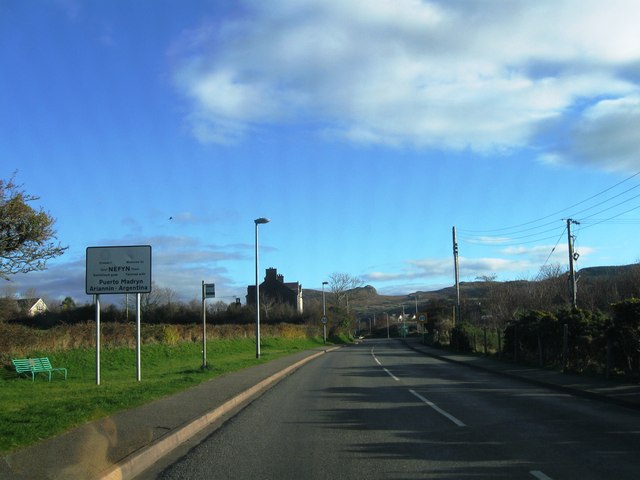
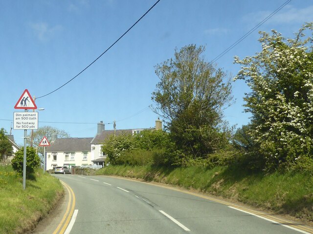
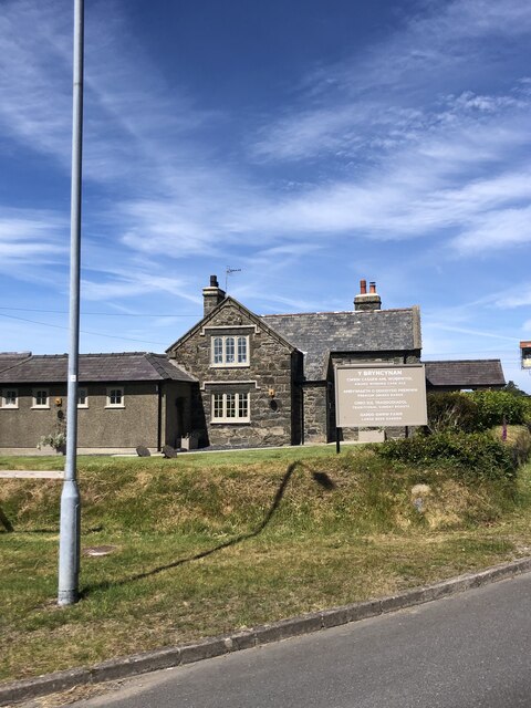
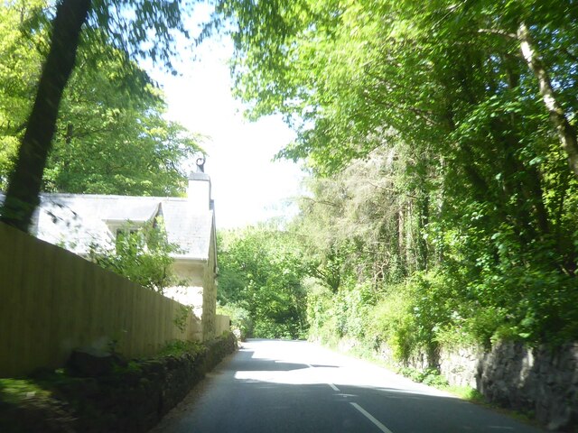
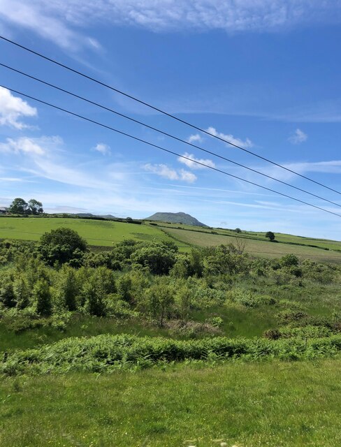
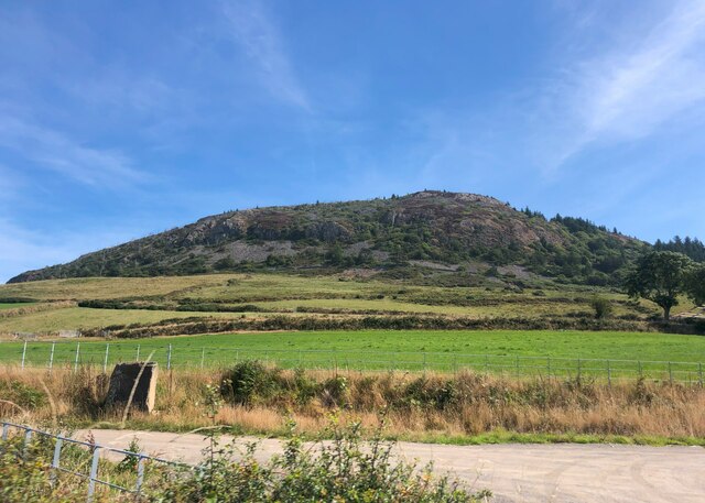
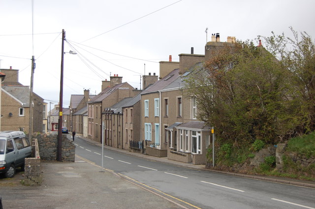
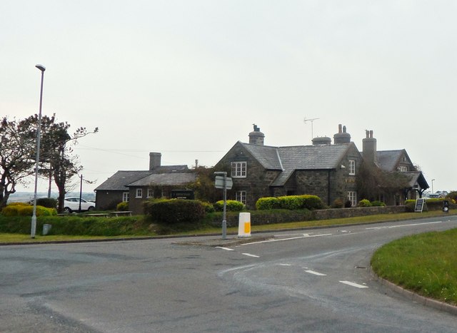
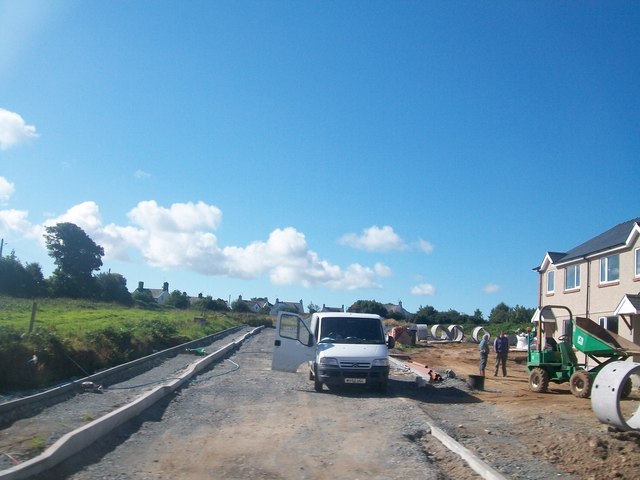
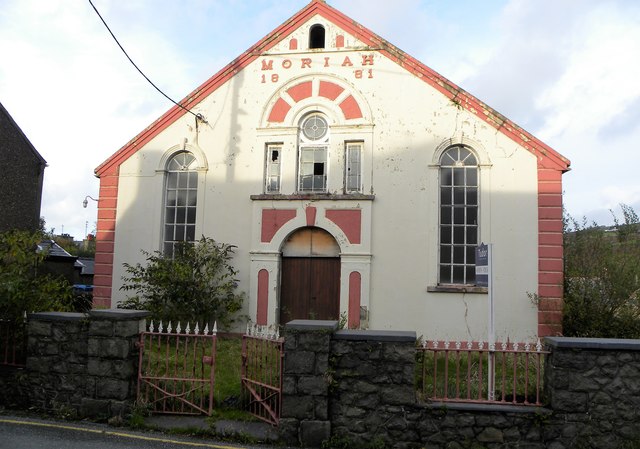
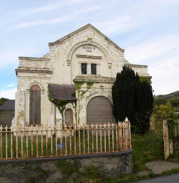
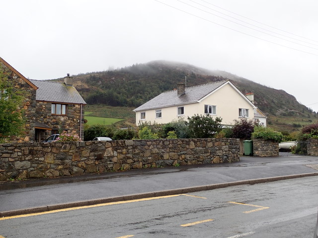
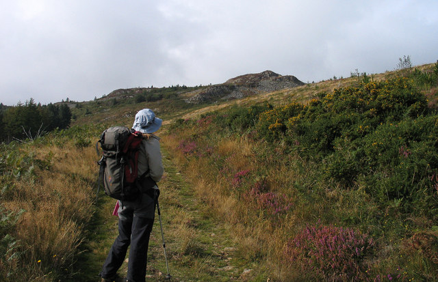
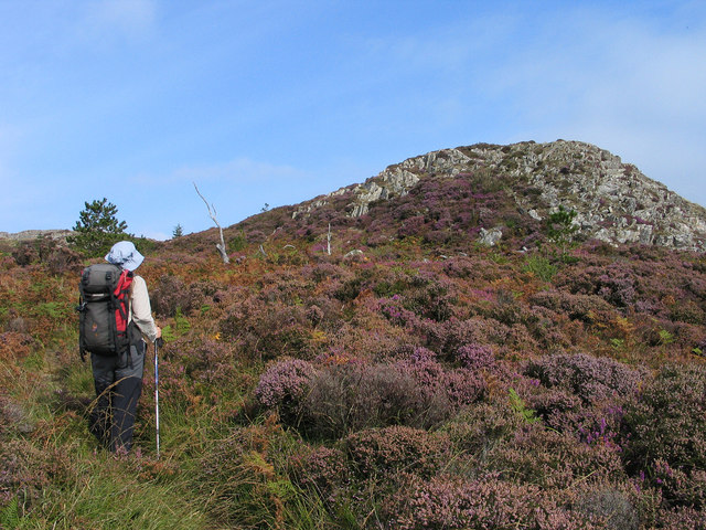
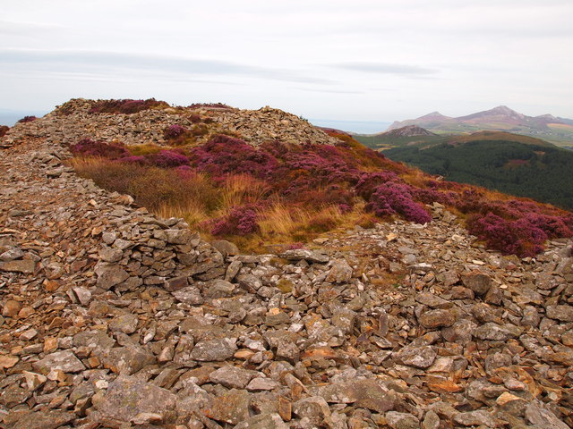
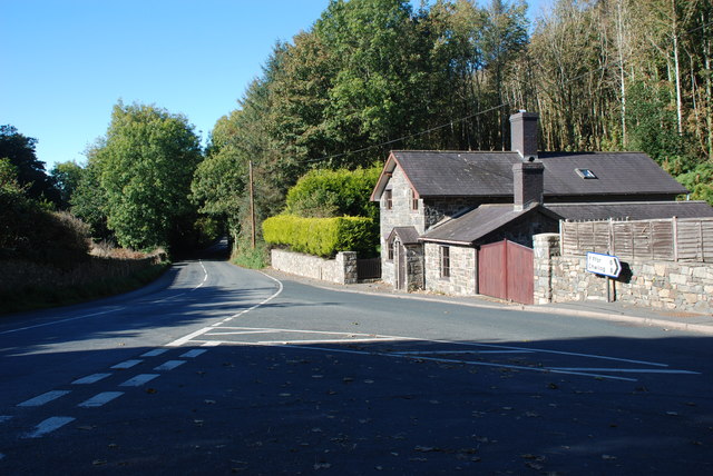
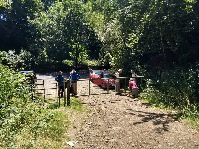
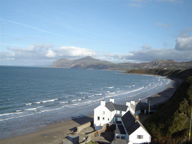
Penhyddgan Images

Images are sourced within 2km of 52.917/-4.522 or Grid Reference SH3038. Thanks to Geograph Open Source API. All images are credited.

Entrance to Nefyn
Entrance to Nefyn
Coming into Morfa Nefyn
Y Bryncynan Large family pub at the junction of the A497 and B4412, between Pwllheli and Morfa Nefyn
Y Bryncynan
Large family pub at the junction of the A497 and B4412, between Pwllheli and Morfa Nefyn
B4354 at Gorphwysfa
B4354 at Gorphwysfa
View south-west from the A497 Wooded valley of the River Ceirch, then pasture and Carn Fadryn on the horizon
View south-west from the A497
Wooded valley of the River Ceirch, then pasture and Carn Fadryn on the horizon
Garn Boduan This hill is the site of an Iron Age hillfort
Garn Boduan
This hill is the site of an Iron Age hillfort
A497 entering Nefyn Taken from the car park of the Spar store.
A497 entering Nefyn
Taken from the car park of the Spar store.
Y Bryncynan Inn
Y Bryncynan Inn
House building at Morfa Nefyn
Moriah Chapel, Nefyn Long since abandoned non conformist chapel in Nefyn, now probably inhabited by pigeons. There's a 'for sale' board outside in case anyone should be interested.
Moriah Chapel, Nefyn
Long since abandoned non conformist chapel in Nefyn, now probably inhabited by pigeons. There's a 'for sale' board outside in case anyone should be interested.
Seion chapel, Nefyn Abandoned chapel in Stryd y Plas, Nefyn. Boarded up and slowly decaying.....no more fire and brimstone sermons here.
Seion chapel, Nefyn
Abandoned chapel in Stryd y Plas, Nefyn. Boarded up and slowly decaying.....no more fire and brimstone sermons here.
Houses on the High Street, Nefyn Beyond with its head in the clouds is Garn Boduan. On its summit are the remains of a large hill fort with traces of 170 round houses.
Houses on the High Street, Nefyn
Beyond with its head in the clouds is Garn Boduan. On its summit are the remains of a large hill fort with traces of 170 round houses.
Path rising to Garn Boduan Garn Boduan is one of a number of relatively low yet prominent hills of the Lleyn Peninsula; there are ramparts of an old iron age hill fort about the top which can be seen in the distance. The path rises from the B4354 on the south side of the hill.
Path rising to Garn Boduan
Garn Boduan is one of a number of relatively low yet prominent hills of the Lleyn Peninsula; there are ramparts of an old iron age hill fort about the top which can be seen in the distance. The path rises from the B4354 on the south side of the hill.
Rocks and heathers on Garn Boduan Garn Boduan is one of a number of relatively low yet prominent hills of the Lleyn Peninsula; there are ramparts of an old iron age hill fort about the top. The view here is from the south with the rise directly ahead not being the actual summit which lies beyond. More than one heather species can be seen in flower, now past their best.
Rocks and heathers on Garn Boduan
Garn Boduan is one of a number of relatively low yet prominent hills of the Lleyn Peninsula; there are ramparts of an old iron age hill fort about the top. The view here is from the south with the rise directly ahead not being the actual summit which lies beyond. More than one heather species can be seen in flower, now past their best.
House by the A497
House by the A497
Hillfort Garn Boduan This is at the summit of the site and is a refortified area within the earlier iron age fort, thought to date from the post Roman period.
Hillfort Garn Boduan
This is at the summit of the site and is a refortified area within the earlier iron age fort, thought to date from the post Roman period.
Boduan The junction of the B4354 and the A497 from Pwllheli to Nefyn
Boduan
The junction of the B4354 and the A497 from Pwllheli to Nefyn
Car park below Garn Boduan Where the path to the summit starts.
Car park below Garn Boduan
Where the path to the summit starts.
Show me another place!

Penhyddgan is located at Grid Ref: SH3038 (Lat: 52.917, Lng: -4.522)

What 3 Words

///guideline.teacher.expensive. Near Nefyn, Gwynedd

Nearby Locations

Penhyddgan

Related Wikis

Garn Boduan

Garn Boduan is an Iron Age hillfort and hill near Nefyn, on the Llŷn Peninsula in Wales. In a survey in the 1950s the traces of over 170 round houses were...

Cors Geirch National Nature Reserve

Cors Geirch National Nature Reserve is an extensive wetland site on the Llŷn Peninsula, in the central part of the valley that runs between Nefyn and Pwllheli...

Ceidio

Ceidio is a former civil parish in the Welsh county of Gwynedd. It was abolished in 1934, and incorporated into Buan. == References ==

Llandudwen

Llandudwen is a former civil parish in the Welsh county of Gwynedd. It was abolished in 1934, and divided between Buan and Tudweiliog. == References ==

Nefyn

Nefyn (Welsh pronunciation: [ˈnɛvɨn], archaically anglicised as Nevin) is both a small town and a community on the northwest coast of the Llŷn Peninsula...

Boduan

Boduan is a village in Gwynedd, Wales, about 4 miles from Pwllheli. It is in the historic county of Caernarfonshire. It was due to host the National Eisteddfod...

Buan, Gwynedd

Buan is a community in the Welsh county of Gwynedd, located on the Llŷn Peninsula. It includes the villages of Boduan and Rhydyclafdy, and has a population...

Morfa Nefyn

Morfa Nefyn is a village on the northern coast of the Llŷn Peninsula in Gwynedd, Wales. It lies on the crossroads of the B4417 and B4412. The village has...

Nearby Amenities

Located within 500m of 52.917,-4.522
Ele: 94.91
Source Ele: gpx
Lat/Long: 52.9166804/-4.5189268
Power: pole
Lat/Long: 52.920839/-4.5245353
Power: pole
Lat/Long: 52.9205091/-4.5237708
Power: pole
Lat/Long: 52.9200417/-4.522647
Power: pole
Lat/Long: 52.9195598/-4.5214534
Power: pole
Lat/Long: 52.9191717/-4.5205254
Power: pole
Lat/Long: 52.9179749/-4.517583
Power: pole
Lat/Long: 52.9175577/-4.5165852
Power: pole
Lat/Long: 52.9170175/-4.5152843
Direction: 170
Generator Method: photovoltaic
Generator Output Electricity: yes
Generator Solar Modules: 16
Generator Source: solar
Generator Type: solar_photovoltaic_panel
Location: roof
Power: generator
Lat/Long: 52.9170726/-4.5275702
Direction: 170
Generator Method: photovoltaic
Generator Output Electricity: yes
Generator Solar Modules: 12
Generator Source: solar
Generator Type: solar_photovoltaic_panel
Location: roof
Power: generator
Lat/Long: 52.9170661/-4.5276345
Direction: 170
Generator Method: photovoltaic
Generator Output Electricity: yes
Generator Solar Modules: 4
Generator Source: solar
Generator Type: solar_photovoltaic_panel
Location: roof
Power: generator
Lat/Long: 52.9170661/-4.5276855
The data included in this document is from www.openstreetmap.org. The data is made available under ODbL.

Have you been to Penhyddgan?

Leave your review of Penhyddgan below (or comments, questions and feedback).