Pencastell

Heritage Site in Carmarthenshire

Wales

Pencastell

Buried Churn Stand
Buried Churn Stand Credit: Adrian Dust

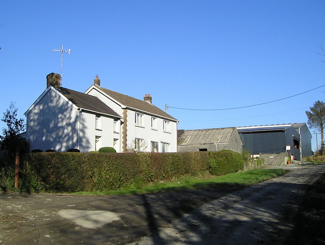
Pencastell is a historic site located in the county of Carmarthenshire, Wales. Situated near the village of Llanfynydd, it is a significant heritage site that holds great archaeological and historical importance. The site is believed to have been inhabited since the Iron Age, with evidence of human activity dating back thousands of years.

The main attraction at Pencastell is the ancient hillfort, which dominates the landscape. The hillfort was constructed during the Iron Age and consists of a series of earthworks and defensive structures. It is estimated to have been built around 600 BC and played a crucial role in protecting the local population.

Visitors to Pencastell can explore the remains of the hillfort and witness the impressive defensive features, such as ramparts and ditches. The site offers panoramic views of the surrounding countryside, allowing visitors to appreciate the strategic significance of the location.

In addition to the hillfort, Pencastell also boasts a rich history from the medieval period. The site was used as a motte-and-bailey castle, with a wooden structure built on top of a raised mound. Although the castle no longer stands, the earthworks remain, providing insights into the architectural layout and defensive strategies of the time.

Pencastell is a protected heritage site, and ongoing archaeological excavations and research efforts continue to uncover new information about its history and significance. Visitors to this remarkable site can immerse themselves in the ancient past, gain a greater understanding of the region's heritage, and appreciate the impressive engineering and defensive prowess of our ancestors.

If you have any feedback on the listing, please let us know in the comments section below.
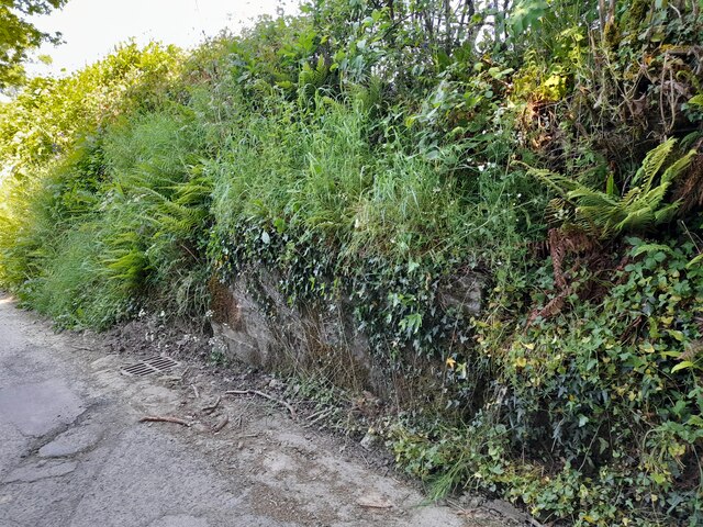
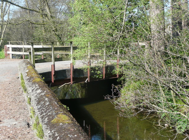
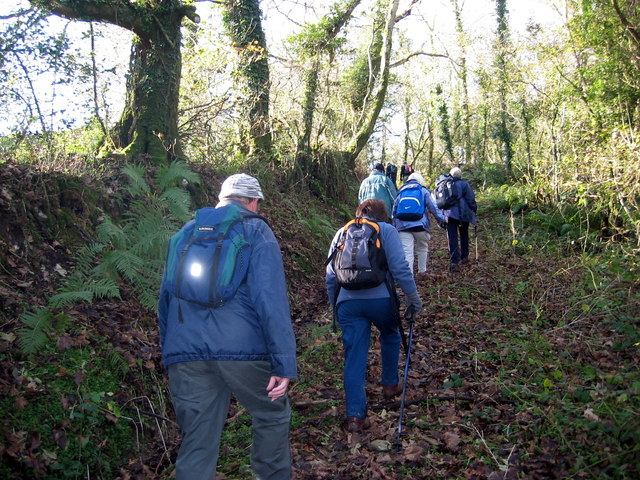
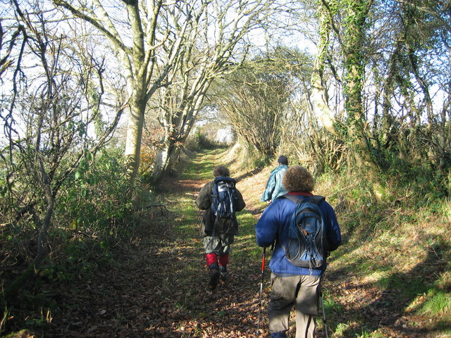
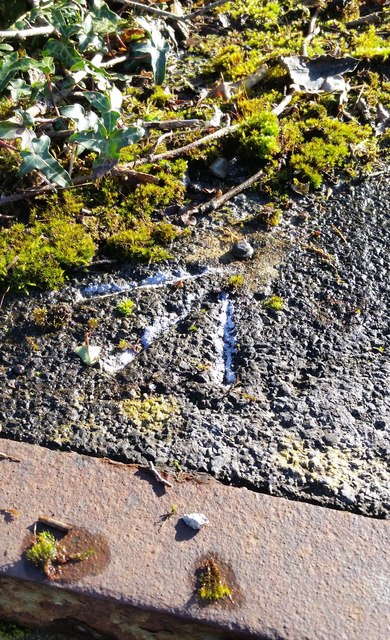
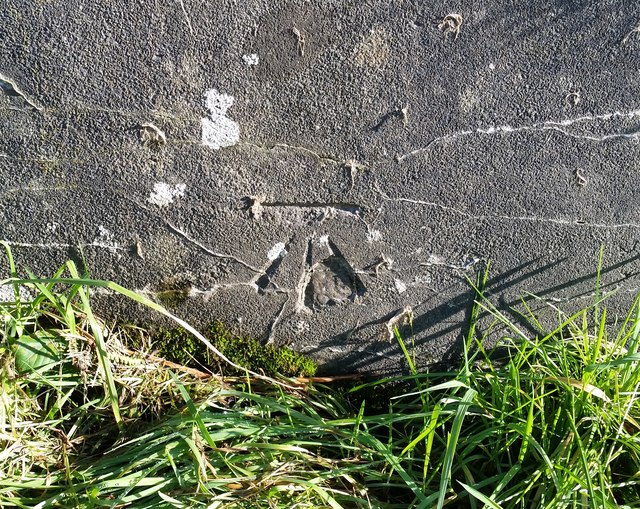
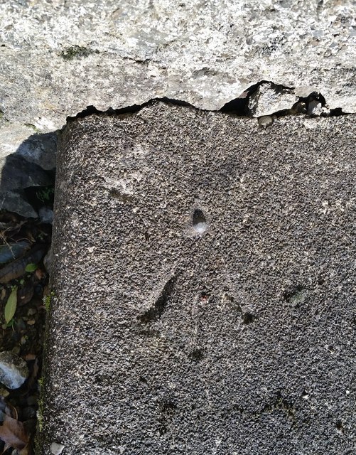
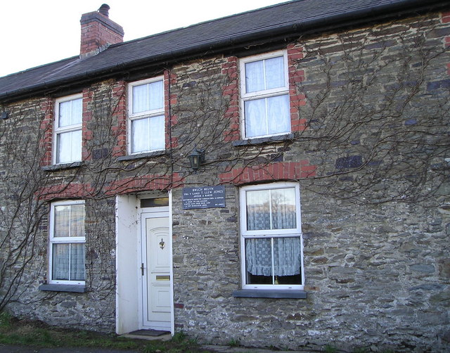
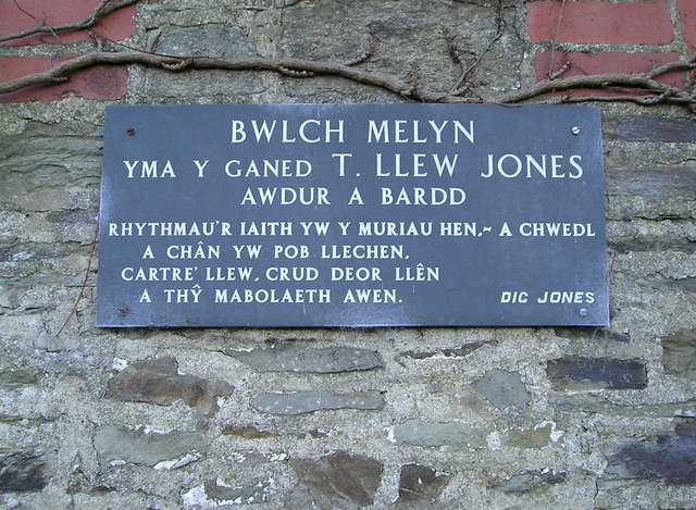
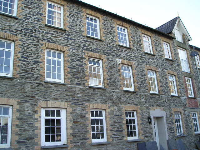
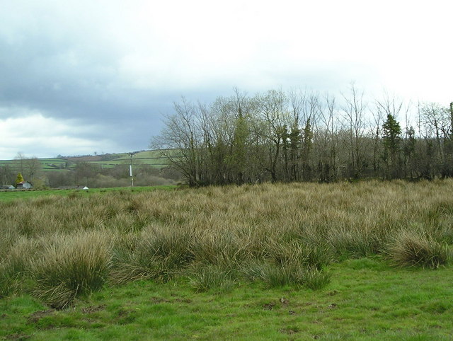
Pencastell Images

Images are sourced within 2km of 52.013/-4.325 or Grid Reference SN4037. Thanks to Geograph Open Source API. All images are credited.

Buried Churn Stand
Buried Churn Stand
Bridge at entrance to Melin-y-Derw (Wood Craftmanship in Wales) The stream is called Afon Seidi.
Bridge at entrance to Melin-y-Derw (Wood Craftmanship in Wales)
The stream is called Afon Seidi.
Tuag at Ben Pistyll / Towards Pen Pistyll Cerddwyr yn dilyn llwybr lan at Ben Pistyll.

Walkers ascending along a path towards Pen Pistyll (trans. top of the spring).
Tuag at Ben Pistyll / Towards Pen Pistyll
Cerddwyr yn dilyn llwybr lan at Ben Pistyll. Walkers ascending along a path towards Pen Pistyll (trans. top of the spring).
Llwybr Llwynffynnon / Llwynffynnon Path Cerddwyr yn dilyn llwybr cyhoeddus tuag at Ffarm Llwynffynnon.

Walkers following a public footpath towards Llwynffynnon Farm (trans. grove of the well).
Llwybr Llwynffynnon / Llwynffynnon Path
Cerddwyr yn dilyn llwybr cyhoeddus tuag at Ffarm Llwynffynnon. Walkers following a public footpath towards Llwynffynnon Farm (trans. grove of the well).
Uwchben Troedrhiw Fawr / Above Troedrhiw Fawr Cerddwyr uwchben Ffarm Troedrhiw Fawr. Yr anheddiad yn y pellter yw Llandysul.

Walkers above Troedrhiw Fawr Farm (trans. foot of the hill). The settlement in the distance is Llandysul (trans. St Tysul's church).
Uwchben Troedrhiw Fawr / Above Troedrhiw Fawr
Cerddwyr uwchben Ffarm Troedrhiw Fawr. Yr anheddiad yn y pellter yw Llandysul. Walkers above Troedrhiw Fawr Farm (trans. foot of the hill). The settlement in the distance is Llandysul (trans. St Tysul's church).
Ordnance Survey Rivet This OS cut mark can be found on the Churn Stand of Llwynffynnon. It marks a point 193.646m above mean sea level.
Ordnance Survey Rivet
This OS cut mark can be found on the Churn Stand of Llwynffynnon. It marks a point 193.646m above mean sea level.
Ordnance Survey Cut Mark This OS cut mark can be found on the Churn Stand of Penpistyll. It marks a point 198.450m above mean sea level.
Ordnance Survey Cut Mark
This OS cut mark can be found on the Churn Stand of Penpistyll. It marks a point 198.450m above mean sea level.
Ordnance Survey Rivet This OS rivet can be found on the door step of the church hall. It marks a point 159.968m above mean sea level.
Ordnance Survey Rivet
This OS rivet can be found on the door step of the church hall. It marks a point 159.968m above mean sea level.
Court Farm Court Farm or Cwrt Farm.
Court Farm
Court Farm or Cwrt Farm.
Bwlch Melyn Cottage in which T Llew Jones, author and poet was born.
Bwlch Melyn
Cottage in which T Llew Jones, author and poet was born.
Bwlch Melyn Plaque This plaque commemorates the birth of T Llew Jones in this cottage.
See also <a href="https://www.geograph.org.uk/photo/686003">SN3938 : Bwlch Melyn</a>.
Bwlch Melyn Plaque
This plaque commemorates the birth of T Llew Jones in this cottage. See also SN3938 : Bwlch Melyn.
Derw Mills Old woollen mill, now used as a studio.
Derw Mills
Old woollen mill, now used as a studio.
Penyrallt Home Farm The house is believed to date back to the seventeenth century, but the part on the right is Victorian.
Penyrallt Home Farm
The house is believed to date back to the seventeenth century, but the part on the right is Victorian.
Neglected Land This flat land has no drainage and rushes have taken over.
Neglected Land
This flat land has no drainage and rushes have taken over.
Maesydderwen Small estate of council bungalows. Beyond you can see a ridge of hills with the hamlet of Bancyffordd on the skyline.
Maesydderwen
Small estate of council bungalows. Beyond you can see a ridge of hills with the hamlet of Bancyffordd on the skyline.
Lletty, Llangeler
Lletty, Llangeler
Gate to pasture near Penbedw, Llangeler
Siadog A winter farmyard scene.
Siadog
A winter farmyard scene.
Show me another place!

Pencastell is located at Grid Ref: SN4037 (Lat: 52.013, Lng: -4.325)

Unitary Authority: Carmarthenshire

Police Authority: Dyfed Powys

What 3 Words

///ranted.respond.redefined. Near Llandysul, Ceredigion

Related Wikis

Pentrecwrt

Pentrecwrt (or Pentrecourt) is a village in north Carmarthenshire, Wales on the A486 road halfway between Carmarthen and New Quay. == History == Pencastell...

Pentrecourt Platform railway station

Pentrecourt Platform was a minor railway station near the village of Pentrecwrt, West Wales, on the originally broad gauge Teifi Valley line of the Carmarthen...

Llandyssul railway station

Llandyssul (previously Llandyssil) was a railway station near the village of Llandysul, West Wales, on the originally broad gauge Teifi Valley line of...

Skanda Vale Hospice

Skanda Vale Hospice is a volunteer-based hospice specialising in palliative care, located in Carmarthenshire, Wales. The hospice is located in the village...

Civil-Military Cooperation Centre of Excellence

The Civil-Military Cooperation Centre of Excellence (CCOE) is an international military organization founded to support NATO's transformation program....

Ysgol Dyffryn Teifi

Ysgol Dyffryn Teifi was a bilingual (Welsh and English) comprehensive school in Llandysul, Ceredigion. It stood on the site of the previous Llandysul Grammar...

Llandysul

Llandysul, also spelt Llandyssul, is a small town and community in the county of Ceredigion, Wales. As a community it consists of the townships of Capel...

Bangor Teifi

Bangor Teifi is a hamlet in the community of Llandyfriog, Ceredigion, Wales, which is 63.7 miles (102.5 km) from Cardiff and 184.7 miles (297.2 km) from...

Nearby Amenities

Located within 500m of 52.013,-4.325
Power: pole
Lat/Long: 52.0115354/-4.3200383
Power: pole
Lat/Long: 52.0114561/-4.3217441
Power: pole
Lat/Long: 52.0111358/-4.3242574
Power: pole
Lat/Long: 52.0108667/-4.3255502
Power: pole
Lat/Long: 52.0105927/-4.3267357
Power: pole
Lat/Long: 52.0103038/-4.328109
Power: pole
Lat/Long: 52.0120554/-4.3190914
Power: pole
Lat/Long: 52.0119564/-4.3204594
Power: pole
Lat/Long: 52.0117087/-4.3233615
Power: pole
Lat/Long: 52.0113158/-4.3252873
Direction: S
Generator Method: photovoltaic
Generator Output Electricity: yes
Generator Solar Modules: 10
Generator Source: solar
Generator Type: solar_photovoltaic_panel
Location: roof
Power: generator
Lat/Long: 52.0164453/-4.3203618
Direction: W
Generator Method: photovoltaic
Generator Output Electricity: yes
Generator Solar Modules: 6
Generator Source: solar
Generator Type: solar_photovoltaic_panel
Location: roof
Power: generator
Lat/Long: 52.0163937/-4.3202991
Direction: 265
Generator Method: photovoltaic
Generator Output Electricity: yes
Generator Solar Modules: 17
Generator Source: solar
Generator Type: solar_photovoltaic_panel
Location: roof
Power: generator
Lat/Long: 52.0148618/-4.3193697
The data included in this document is from www.openstreetmap.org. The data is made available under ODbL.

Have you been to Pencastell?

Leave your review of Pencastell below (or comments, questions and feedback).